Day 12: Kongme Dingma to Ambulapcha Base Camp (5527m)
15km
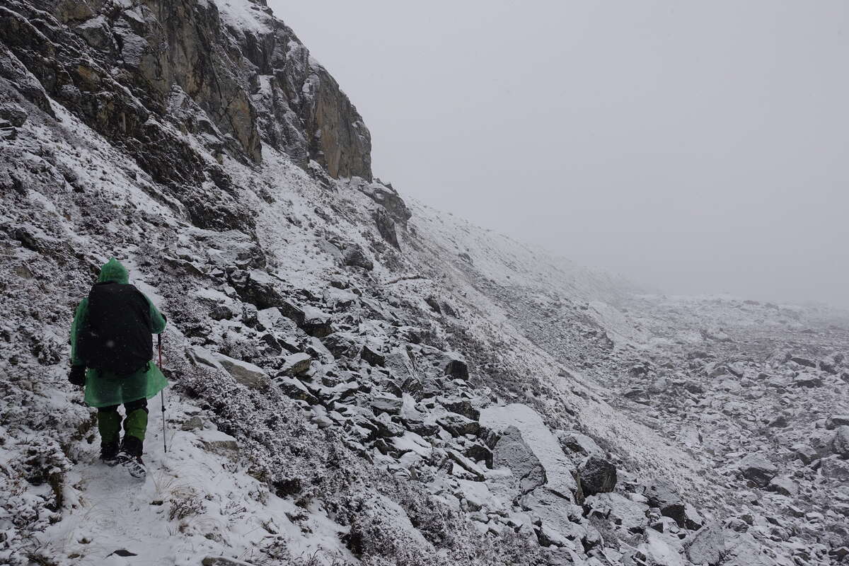
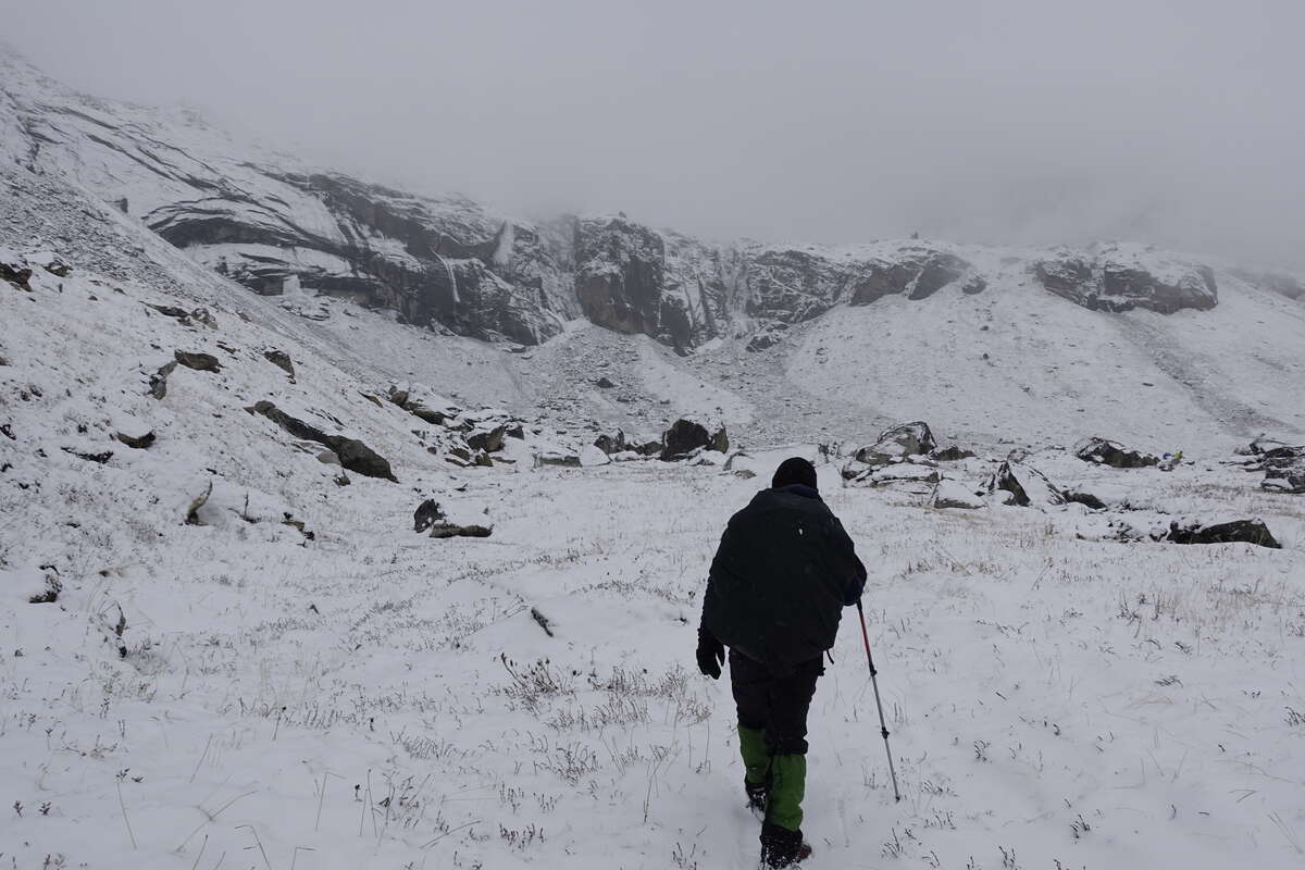
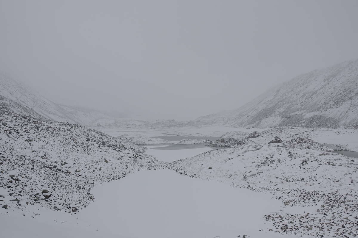
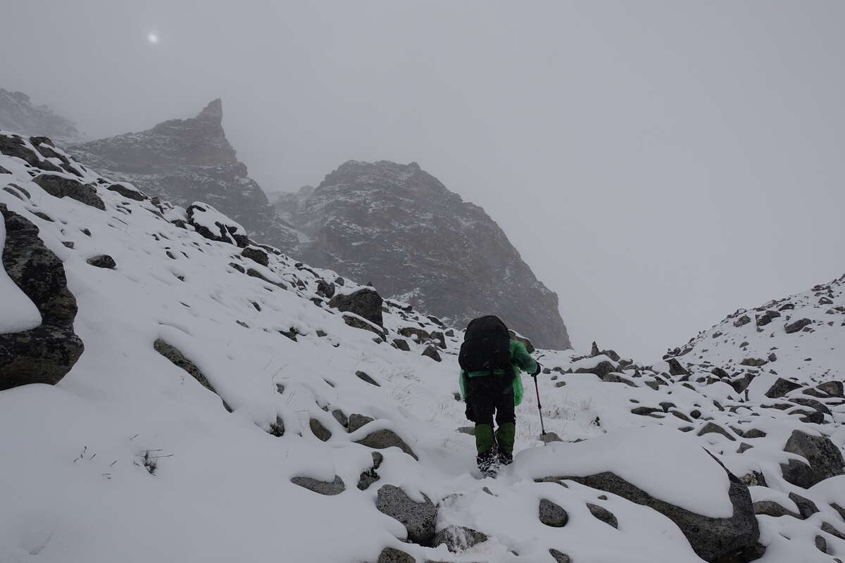
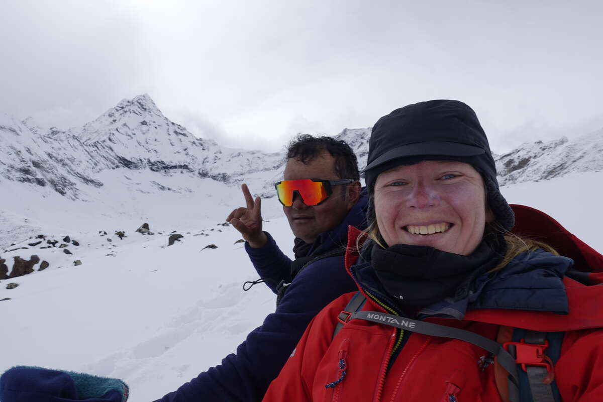
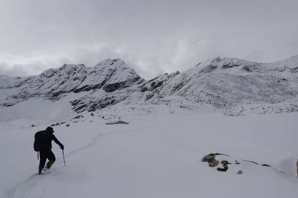
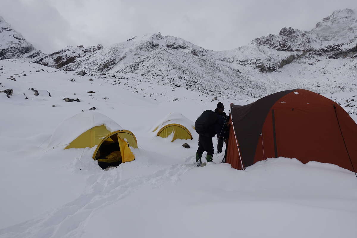
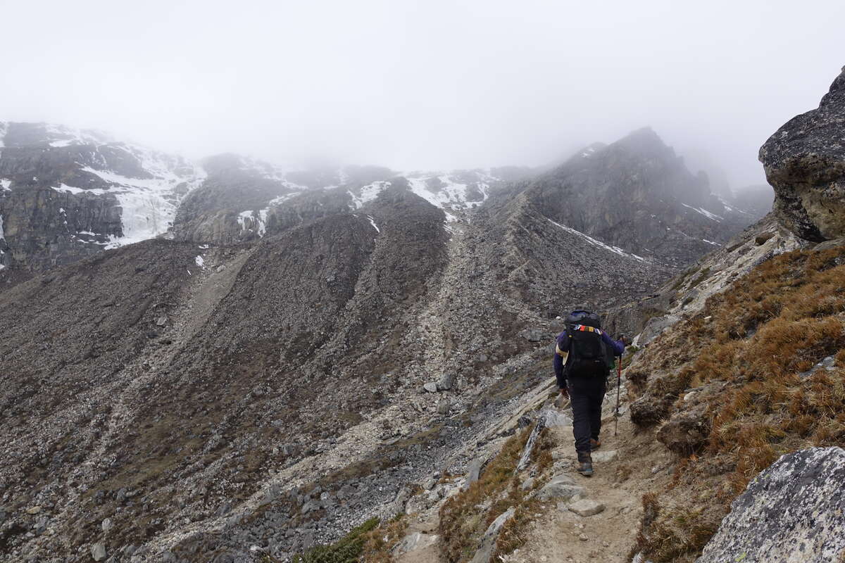
I get a full 11 hours of deep, unbroken and utterly blissful sleep; and I'm going to need every bit of it for the day ahead. To make up for my extra acclimatisation day we're attempting to run two days on my itinerary into one - apparently this should be very doable but I'm not sure whether or not this factors in the snow. It's still falling lightly as I leave my tent, a sort of snowy drizzle, and though the immediate air is clear the clouds are not far above us, shrouding anything other than the valley floor. The route is overall a very gradual climb made up of many short ups and downs. But there is no path. We are essentially traversing fresh glacial moraine made up of a rubble of varying size boulders, which by the end of the day is covered in nearly two foot of fresh powdered snow. Oh and we're back above 5000m again so oxygen sats presumably back in the 80s (I’ve stopped measuring - seeing the numbers is not helpful). It’s slow progress. Break an ankle and even with the PLB to activate I’d lie here a couple of days waiting for the cloud to clear enough for a helicopter. So I pick my way very very carefully over a hundred million boulders and all the rubble between them. There are a series of lakes, the upper ones frozen hard and covered by snow. At times we can walk on their edges and so escape the rocks. There are also a couple of small streams, mostly tiny enough not to notice but one comes with a bridge which may in a previous life have been a ladder. There are big gaps between the (rather skinny) planks and very cold water rushing underneath. Oh and did I mention everything is covered in fresh snow for extra slippiness? I stare at it for a few seconds then crawl cross on hands and knees. Som, ahead and already safely over, has a perfect view to laugh at my progress. Onwards. We reach Seti Pokhari, a single dwelling, for lunch. Carrying on it’s not actually very far, it’s just very tough going. I can feel the altitude creeping up and the oxygen creeping down. Fortunately the climbing is either gradual or over in fairly short bursts. By the end we're both stopping every 10 minutes or so. Som pretends this is entirely for my benefit but he's clearly just as glad of the rests as I am. "I thought you never get tired" I tease, which is an impressive number of words to manage in one breath. Finally, we round the last lake, the skies clear a little and we can see the mountains surrounding this valley end, and the pass up ahead. This side looks fine, but it’s the other side that has the difficulties. Still, the other group are not here so they must have crossed today. I'm optimistic, and really hope we don't have to walk back over all those rocks! I slump into my tent, not as tired as yesterday but not a long way off it, and another big day tomorrow. I'm lying flat on my back with my snow covered boots hanging out the door, contemplating the effort that is removing said boots and unpacking my sleeping bag, when a head appears. "Excuse me, tea please", and a mug of steaming ginger and honey tea is passed in. I'll say this about the people of Nepal, they certainly know how to look after you.
Day 13: Ambulapcha Base Camp to Chhukhung (4730m)
via Ambulapcha La (5839m) 11km
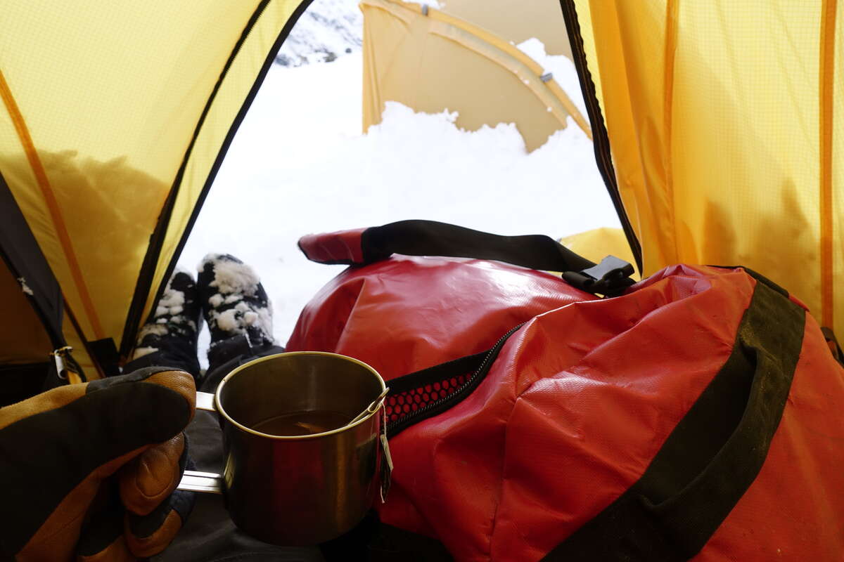
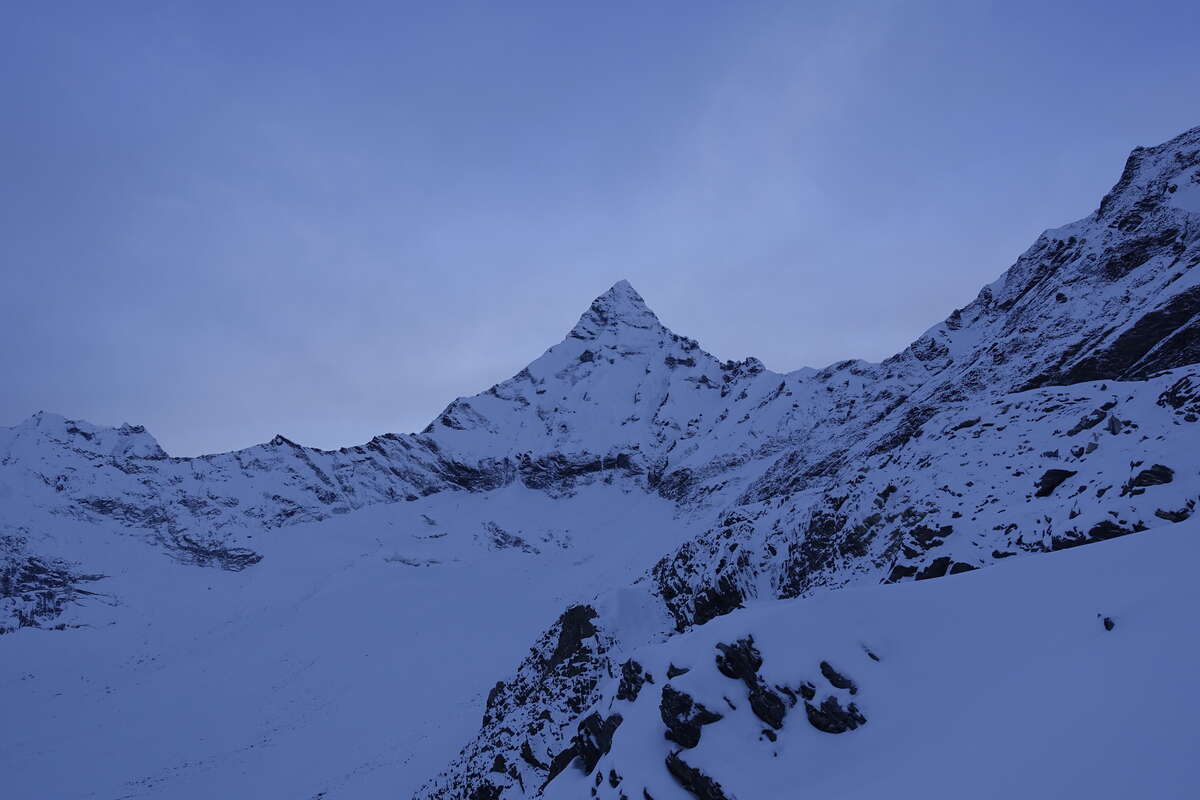
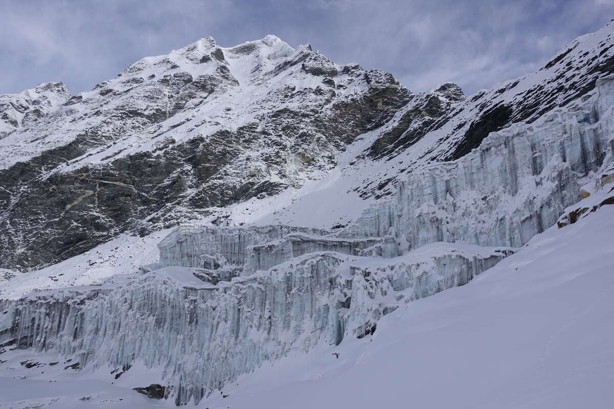
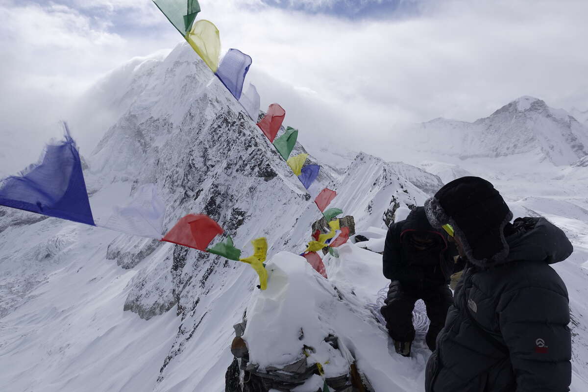
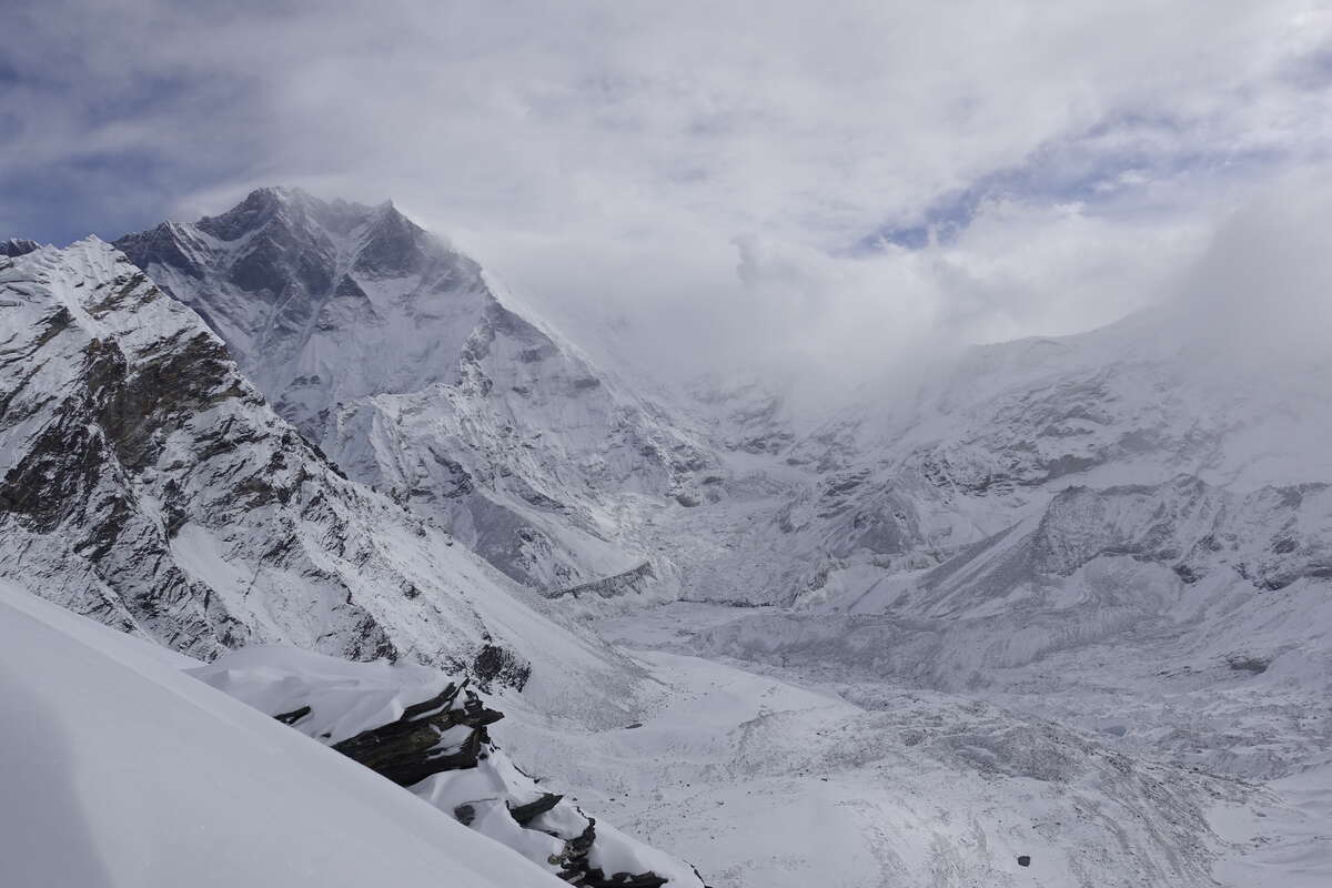
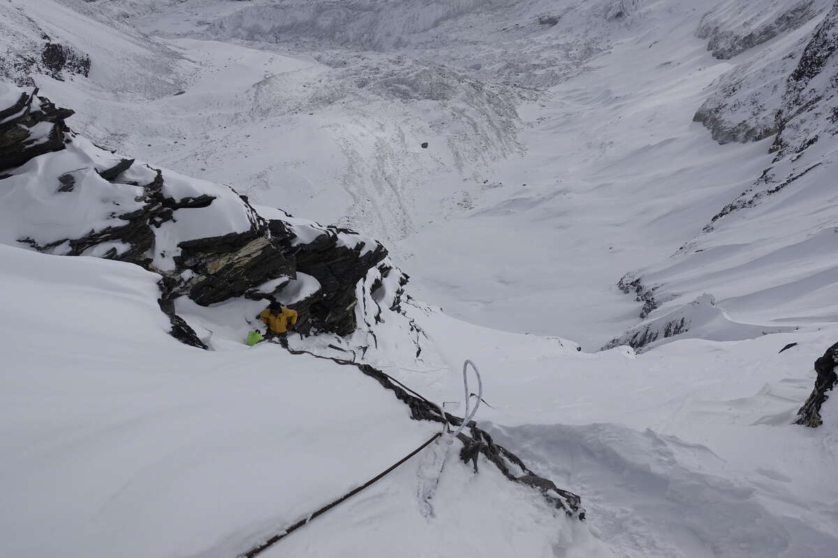
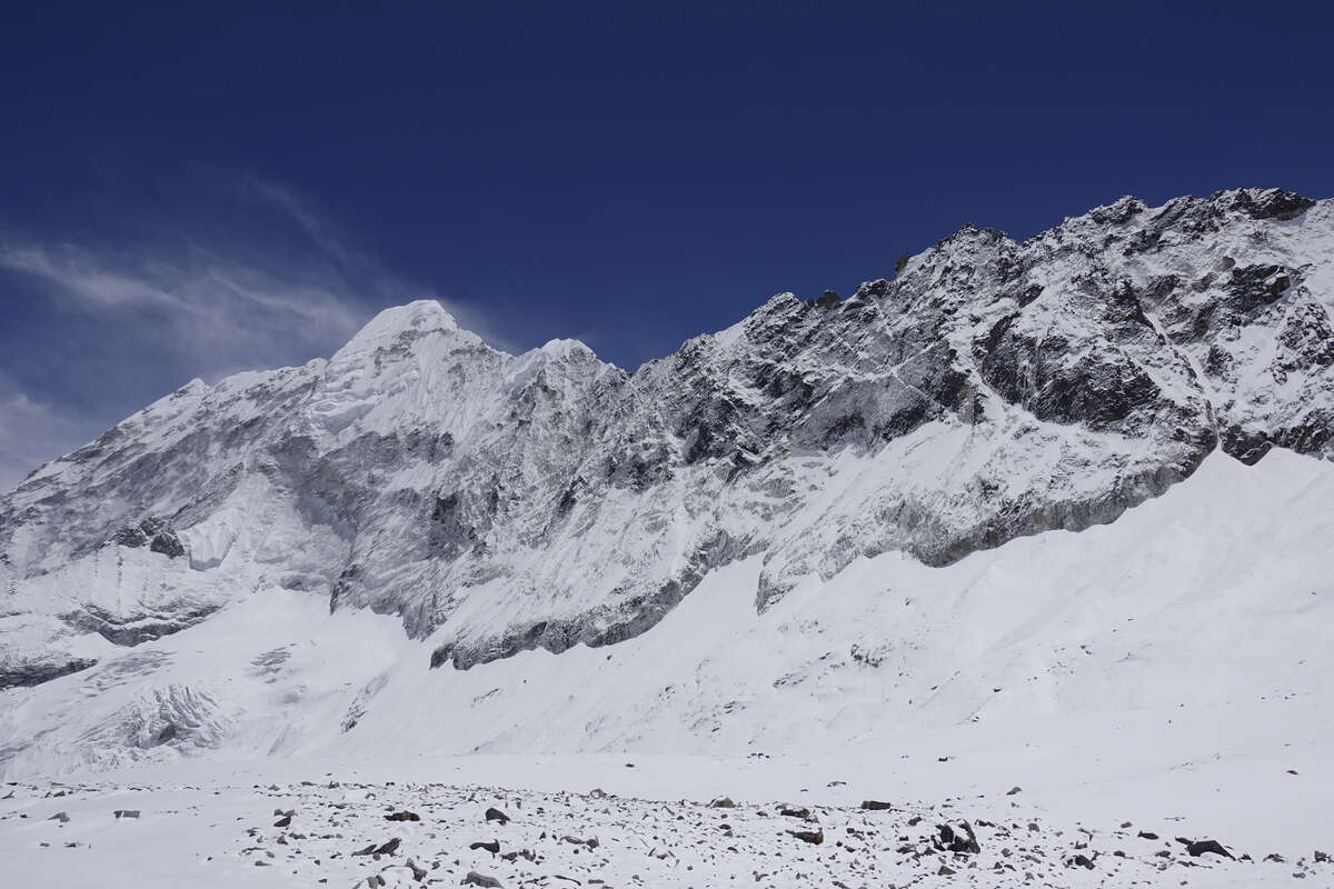
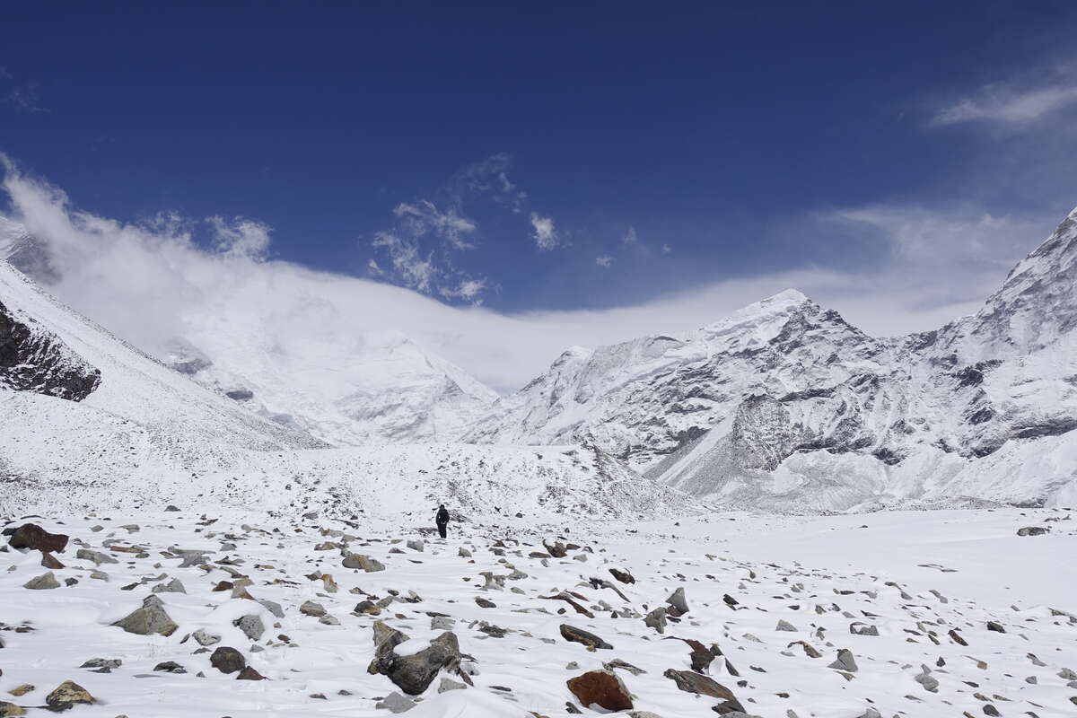
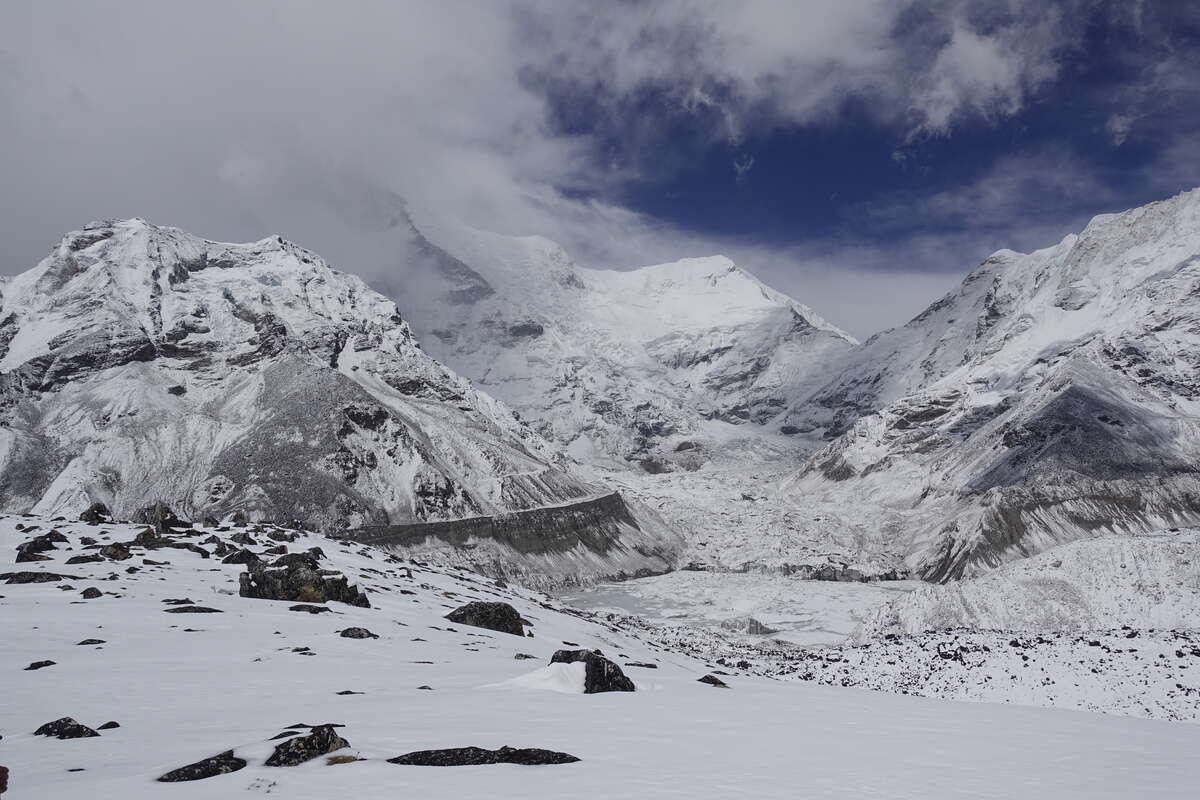
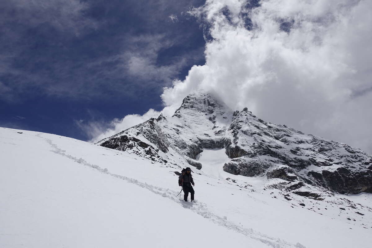
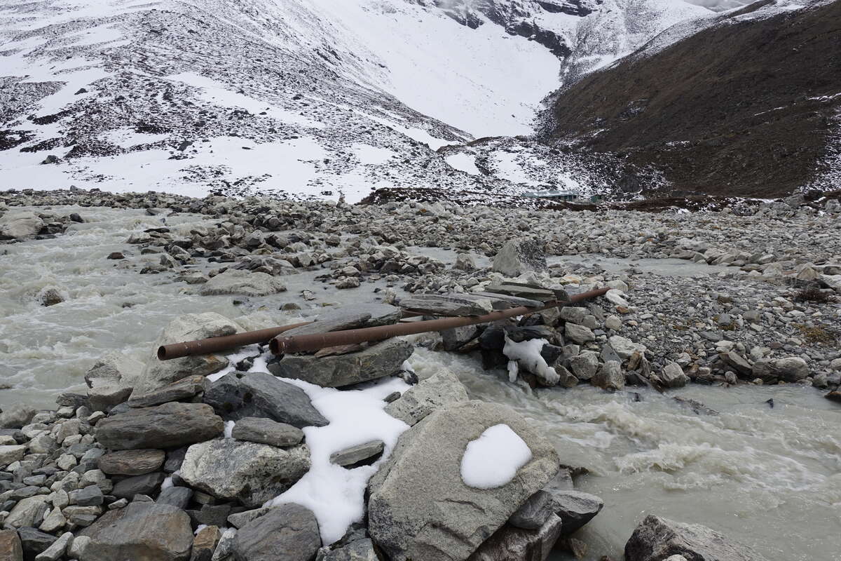
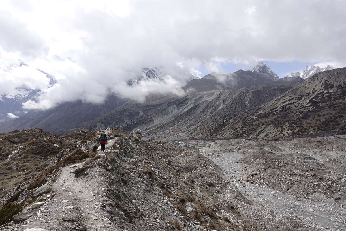
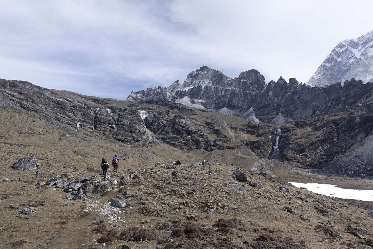
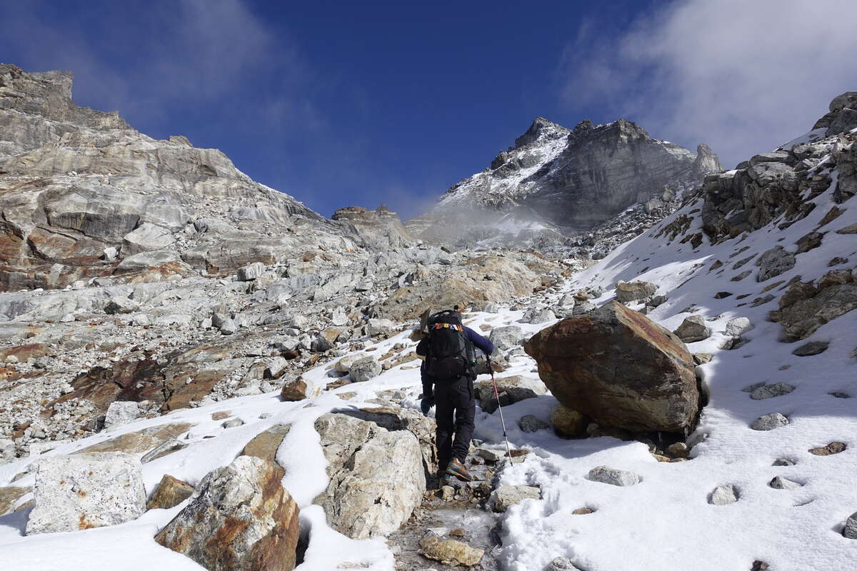
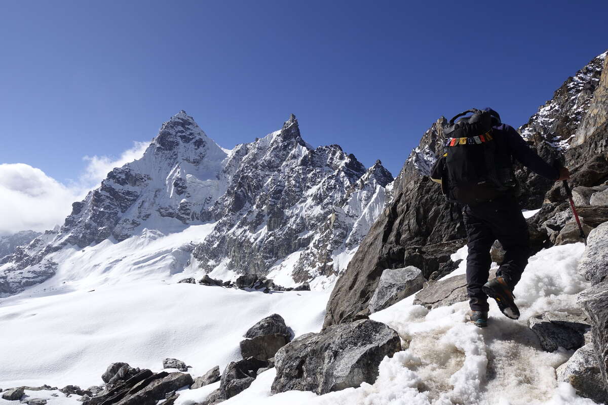
It’s a 3:30 breakfast after a night of zero sleep. Dorje, who was walking at the back, still hadn't arrived when we went to bed with the fall of darkness. I can’t think of any good reason for choosing to walk this trail in the dark but, told to "have no worries", settle in for an uneasy night. Then the wind gets up, and howls and howls, buffeting the tent with waves of snow. By 2am when the alarm is about to go off I've not slept a wink and pretty much given up any hope of attempting the pass (it would be crazy in this wind) and then, just like someone has flicked a switch, it stops. My boots have frozen solid despite being in the inner tent with me and I wrap them in a plastic bag then bring them into my sleeping bag, wrapping the warmth of my body around them until I can at least get them to bend a little. Getting up I find that Dorje did actually arrive around 10pm and that, despite the drifts of windblown snow and the fact that Som's tent collapsed and he has also had no sleep, everyone thinks we should still attempt the pass. I hold a tin mug of tea between my boots to thaw them further, and force my way through some breakfast. We get going just after 4am and wade through snow drifts in the dark for a few hours. It’s heavy going. As the light seeps into the sky it is a mostly clear day, little tendrils of fog entering the valley behind us. The route rises, there are few markings but we are broadly following a rib. Near the top it becomes rockier and steeper and there are fixed cables and rope. I have the luxury of a harness and ascender but everyone else just climbs them hand over hand. Slightly alarming. At least Syla passes the bag up first and doesn't attempt it with that strapped to his head. After what seems like an age for only 300m of ascent we reached the top. It is breathtaking in both a beautiful and slightly terrifying sort of way. We stand on a knife edge between peaks and the way down drops almost vertically ahead. Well, it is an abseil after all. Except that it’s only me and Dorje that have harnesses… He goes first, beckons me to follow. He seems quite happy descending 50m hand over hand with just a karabiner clipped loose around the rope (i.e. if he let go he would fall to the bottom of said rope). No thanks. I've not been given much kit but let myself down on an Italian hitch. Som and Syla follow by wrapping the rope around their wrists. Then there is a short traverse and another longer descent. It feels sketchy enough even with three karabiners clipped to three different strands of rope (the idea seems to be occasionally add more rather than actually remove bad stuff so seems best to spread the load). I'm very aware that if I slip I'm not going far but if someone behind me is holding one of those ropes my fall could easily pull them off. There's also a fun moment mid traverse when Dorje's karabiner freezes shut. After a good ten minutes of trying everything to free it (including pouring all my hot tea over it) he gives up, takes my ice axe and uses the adze to chop the rope in two and knot the ends back together. This, having come over to provide him with the hot tea, is incidentally is the only piece of rope that I am attached to at the time. Then there's a final long abseil which brings us down to a slight snowy ledge. The bags are lowered down on a separate rope and, in response to me saying how unbelievably dangerous this is for the others and why on earth do we not have one harness per person, he gets me to take mine off and sends it back up for Som. Syla does the whole thing without. Then we're apparently done. Only we're still several hundred metres us a steep snow slope with one ice axe (mine) between us. Dorje, job done, is off back up and its left to Som, Syla and I to find the remainder of the way down. This we do without incident, but frankly one slip could have resulted in a very different outcome. We find ourselves in an outstandingly beautiful landscape under a bright blue sky. It’s a place I could never have come to without that crossing, but the knowledge that I've risked other people's lives to get here sits heavily. Som is also a little shaken, he's crossed this pass many times before but never with this much snow and, reading between the lines, perhaps more care taken over the ropework. We have a few hours left to walk, down a snow covered and utterly stunning valley with no path and no signs of human existence. No-one else will come here today. It perhaps the most stunningly beautiful and utterly inhospitable place I have ever been. Signs of life creep in gradually towards the end - a faint trod, a bridge made of two metal poles with some slabs of rock balanced on them. Then we pass the turn off to Island Peak and now there is a path. We've left the snow behind and somehow this transition back to ordinary dirt makes me feel spaced out and slightly dizzy. I think I'm just tired, this has been three massive days, but hurry along just in case. We make it to Chhukhung and after three nights of camping in snow I have a roof and the most amazingly soft and squishy bed. Done.
Day 14: Chhukhung Rest Day
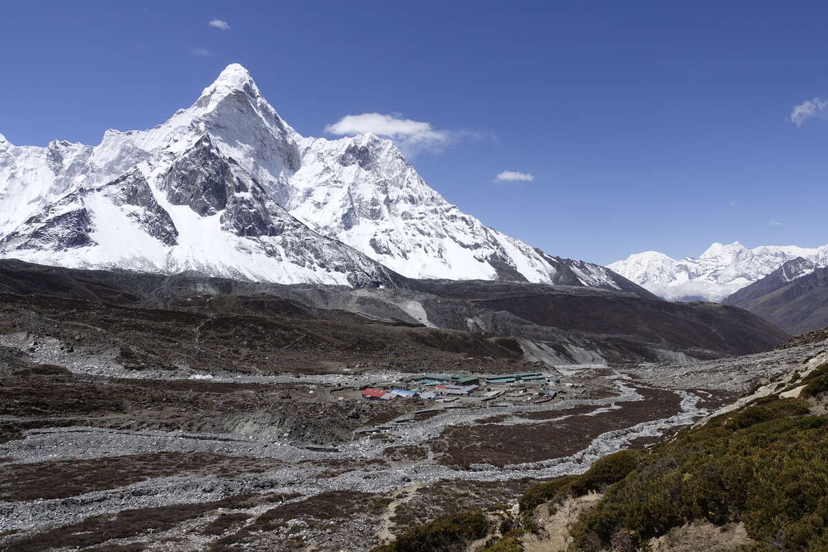
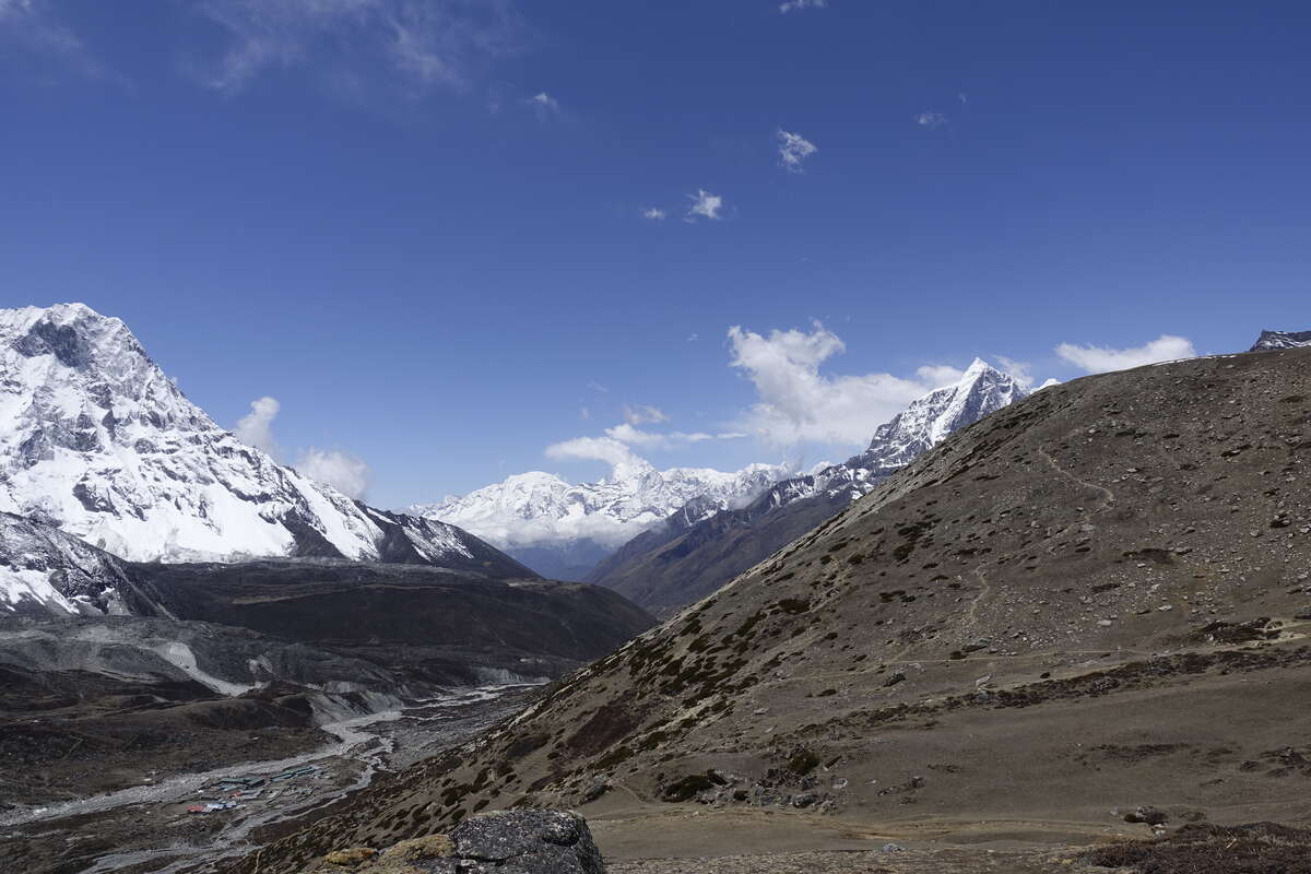
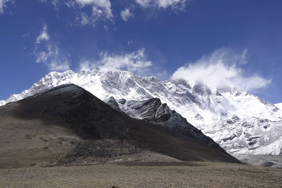
According to the program we're supposed to be climbing up to 5500m for a wonderful view today. I guess on the standard 3 passes itinerary which we've now joined it would be an acclimatisation hike. Well I certainly don't feel any need for that (though a shame to miss a view) and sleep in until 8am with no alarm. All the other guests have left and the morning is hot and sunny with not a single cloud - back like the Manaslu days and what I think the weather is supposed to be like. I have breakfast out on the patio in the sun then do some clothes washing and catch up with some life admin. Mid morning it is still beautifully sunny so we walk part of the route - up to about 5000m where the view is perfectly stunning enough. It’s horribly tiring and I'm even more out of breath than I think I should be just leaving the village. I put it down to expectations - going for a mid morning stroll with no rucksack should be easy whereas climbing a mountain pass with full gear on your back should be hard, but both are done at similar altitude. Amadabalam is a great spire shining above us and the glaciers stretch back towards Lhotse. I sit a few hours, then back down for a late lunch. I'm starving which is a good sign of recovery from the exhaustion of yesterday afternoon. After lunch I very much enjoy a hot shower (the first such luxury on this trek) then sit about and enjoy the view and do nothing at all, except rest I suppose which is an important job in itself. It stays beautiful and sunny and the lower snow is melting away fast which if it continues will make for easier walking and less sunburn (the big issue being reflected light off the snow which gets straight under a hat and is strong enough to burn despite factor 50). Tomorrow another pass - the first of the three, so let's hope for more good weather to come.
Day 15: Chhukhung to Lobuche (4910m)
Via Kongma La (5536m) 8km
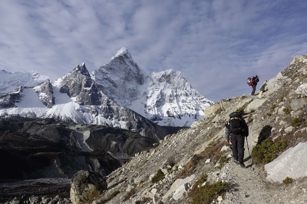
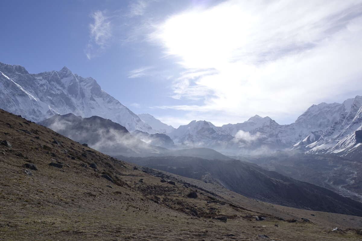
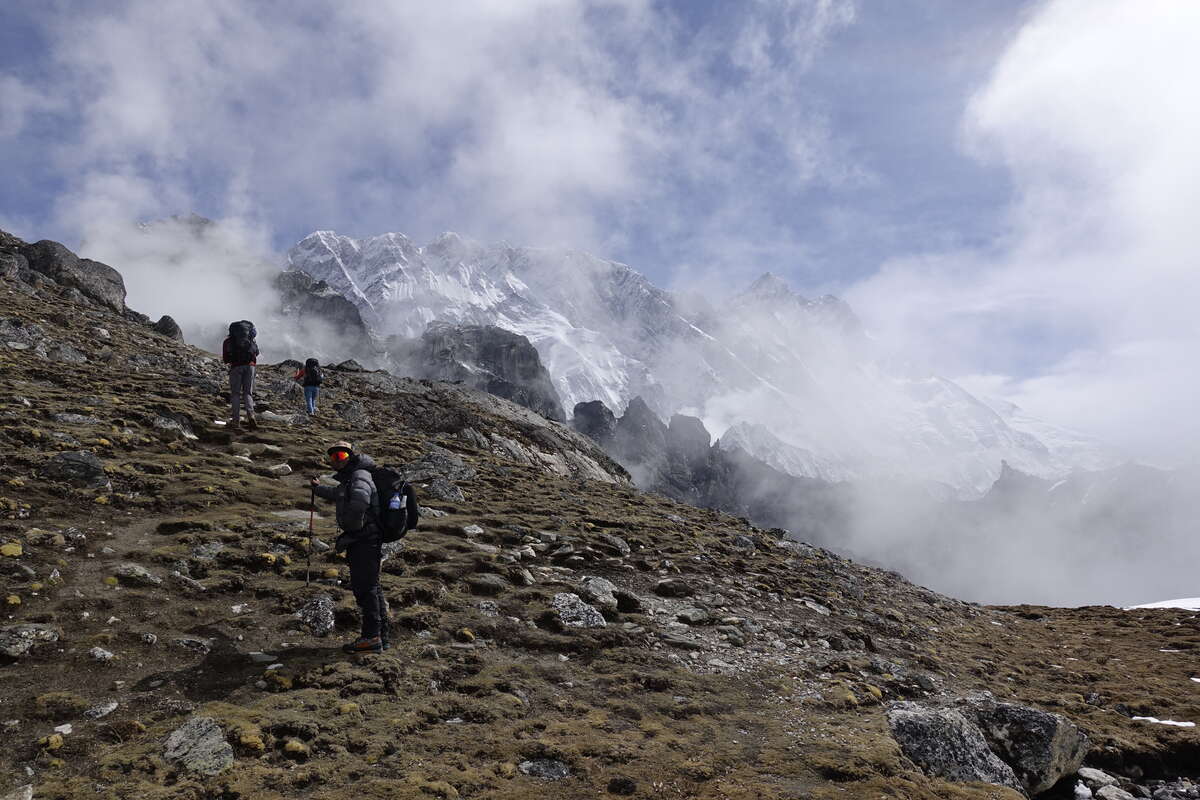
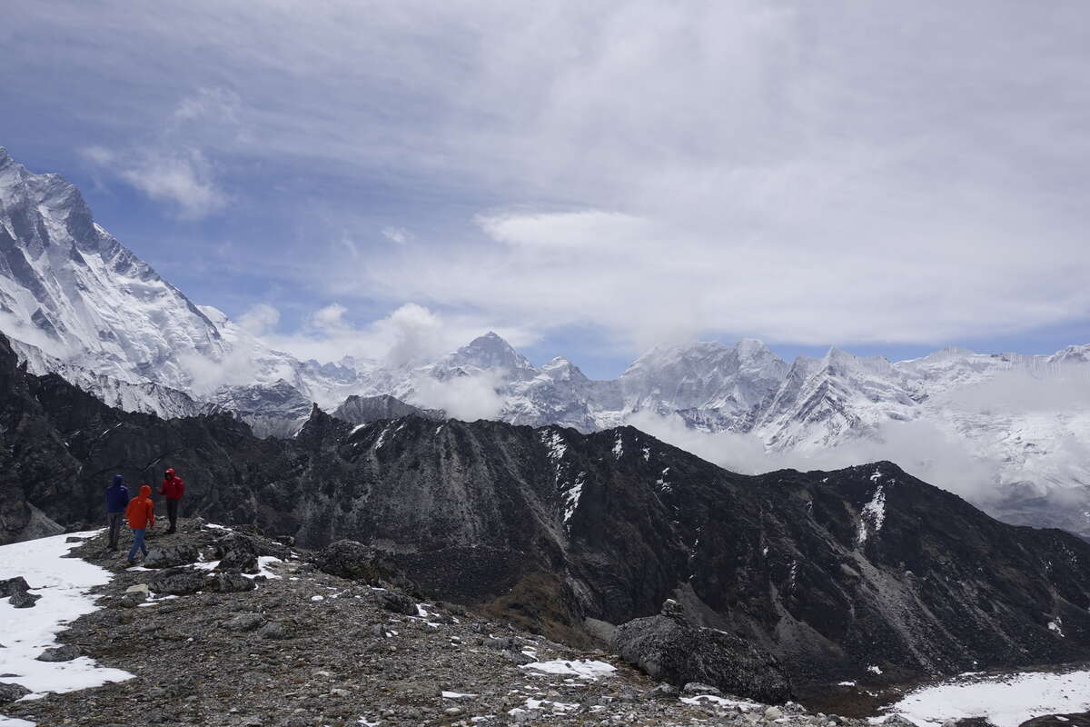
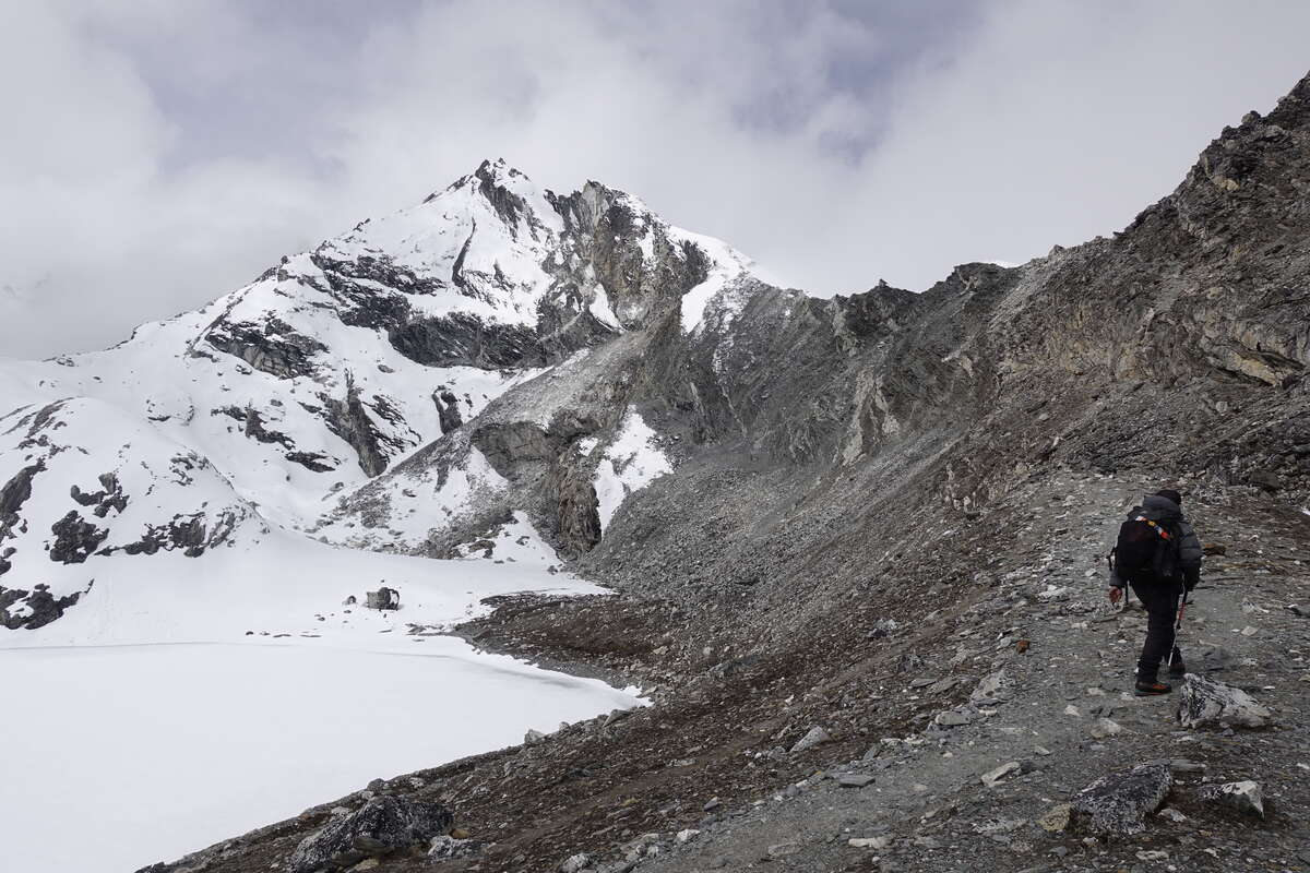
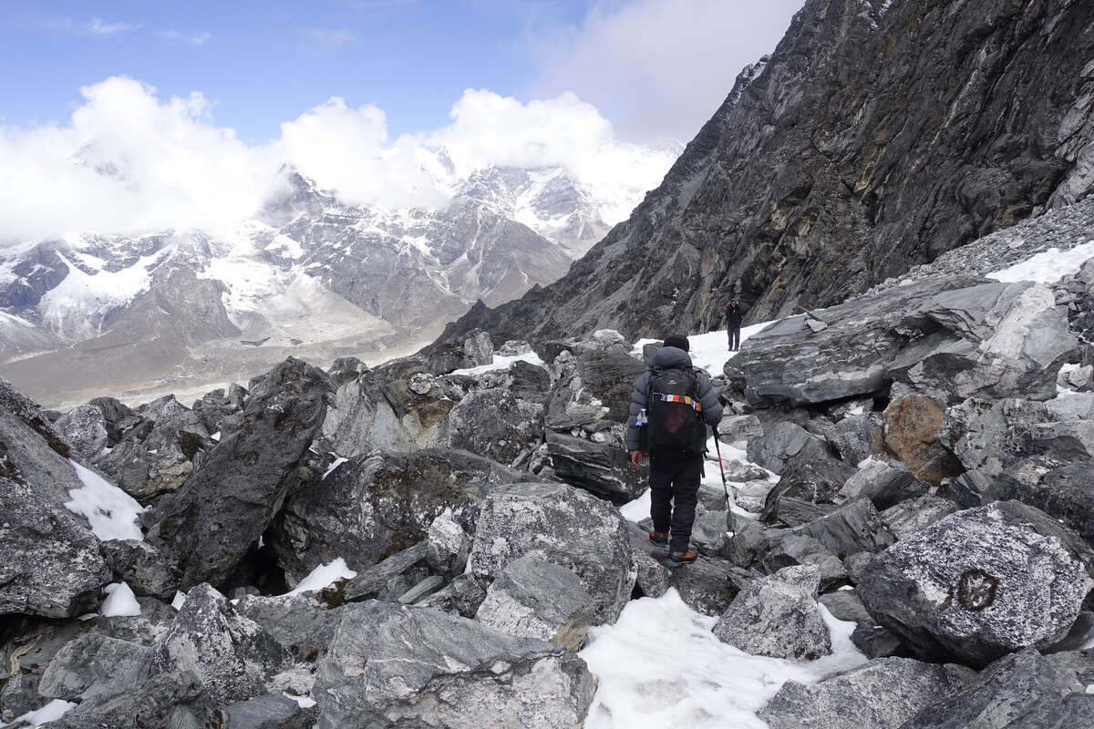
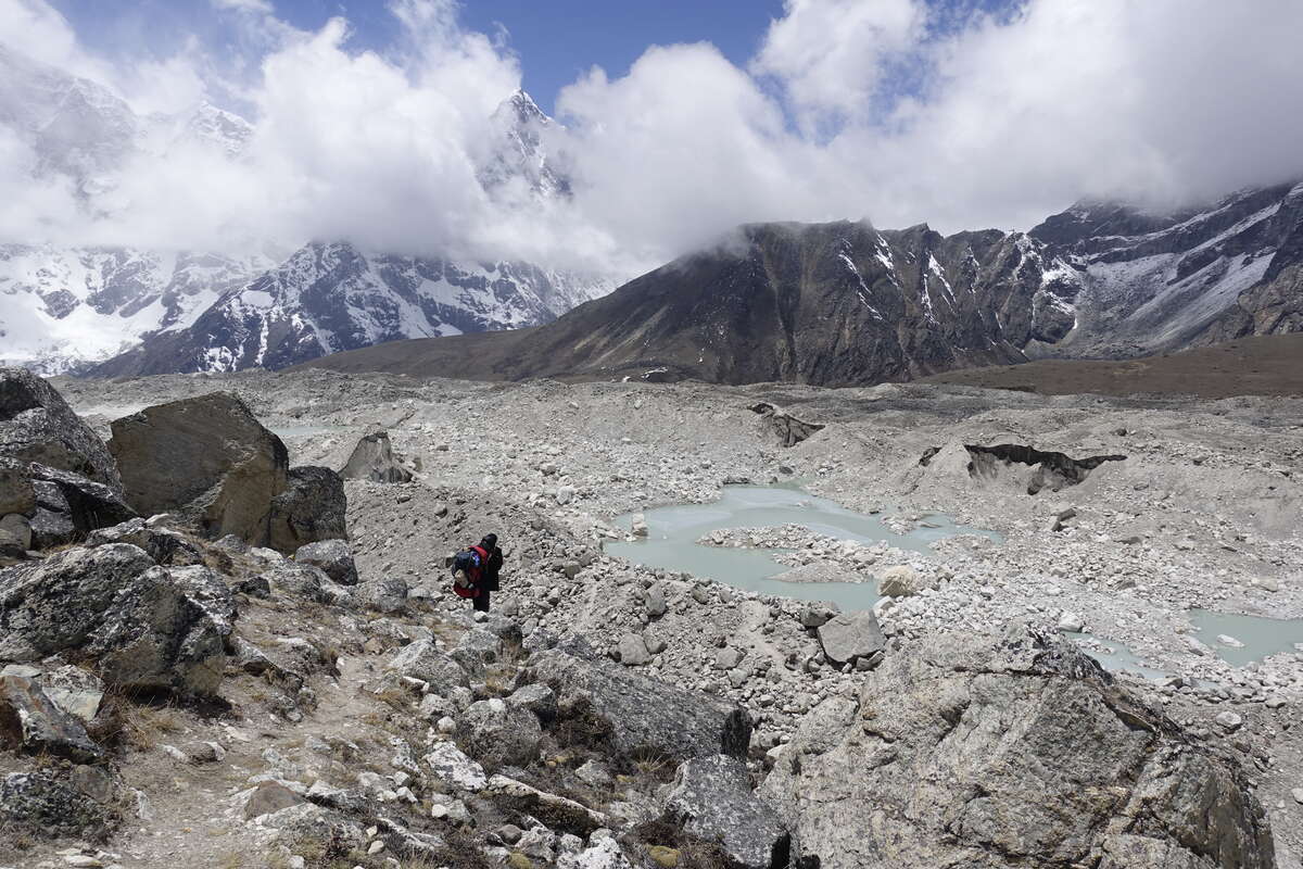
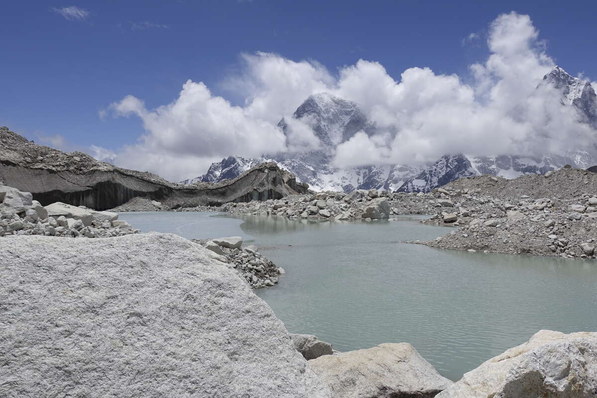
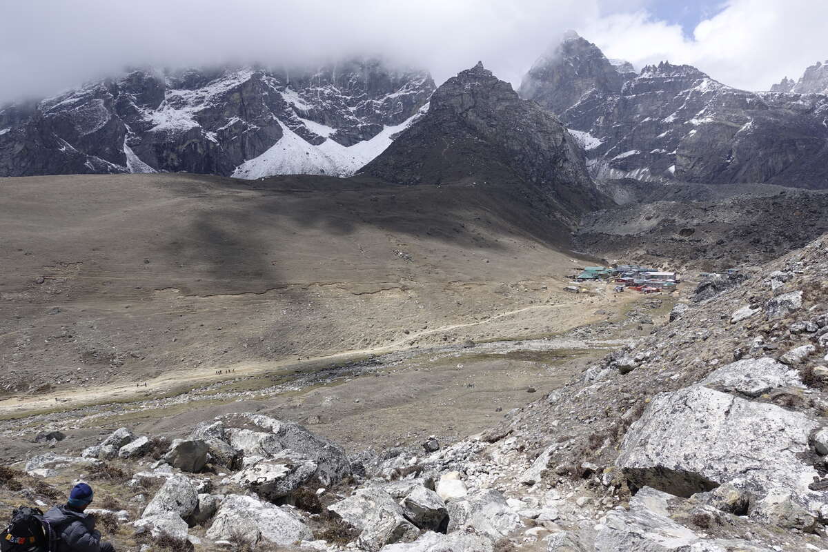
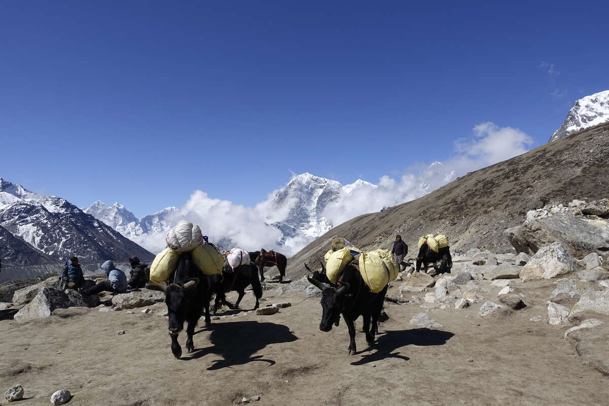
Lying in bed makes me breathless, and I can't manage more than a few minutes without having to gasp for an extra breath. I don't sleep. I don't understand what has changed from last night, when I got a solid 10 hours in the exact same bed. The fire has been very smoky and there is smoke in my room. I start worrying about carbon monoxide poisoning and HAPE, but think/hope that the real explanation might be that my nose is slightly dry and congested and there is so little oxygen up here that that is enough to make a difference. I count my heart rate and breathing rate a few times, open the window to let out the smoke, try breathing through my sleeping bag liner to humidify the air slightly, prop myself up on a mountain of duvet and pillows so I am essentially fully upright. Sometime around 1am I drift into a light and unsettled sleep filled with weird vivid dreams. The alarm goes off at 4:50. The skies are clear again. I have a choice of crossing Kongma La or taking the slightly longer but much easier route through the valley. If there is even a question of illness I should not be ascending a pass, but I don’t want to miss out on crossing on such a beautiful day because of a dry nose. All I feel this morning is sleep deprived, not especially breathless. My sats measure 84% which is consistent with last time I was at this altitude - I've gotten lax about measuring in the last few days so can't compare to yesterday. Breathing/heart rate are normal and have been all night. And I've been at this altitude for a week now with no issues. I decide to give the pass a go. Setting off it is as beautiful as always, the sun shining on those immense snowy peaks. There is a lot less snow underfoot though, and the whole ascent is on dirt trail and even a few scraps of grass. I don't feel great but can't really pinpoint in what way. Possibly I am a bit more breathless than usual but I'm also climbing a steep slope at about 5000m and as I've found so far, it’s the gradient that's more important than the altitude. There are a group of three Germans who are walking more easily than me, and even talking which I certainly don't have the breath for, but ultimately we're going at about the same speed and leapfrog each other every time we stop. The path climbs, a jagged black edge studded with icefalls grows closer. Makalu rises over smaller peaks behind. We find ourselves in a bowl, an improbable rock wall baring the way ahead. Yet up we go, a scree path clinging to the left edge, fringed with snow. It is so steep. I'm 1000m lower than Mera peak but I think this might be harder. That dissociated not quite connected to the world feeling that I had after Ambulapcha is returning. It’s not dizziness per say, and I can still walk normally over difficult terrain but I feel like my head has been stuffed with cotton wool. Am I getting HACE? Should I go down? We're only 1hr and maybe 100m altitude from the pass and there's no headache so it seems reasonable to continue and at least descend the correct side. Still, physically continuing feels like it may be beyond me. I am so tired. Syla takes my rucksack. I'm exhausted enough to accept this; but not enough to avoid the wave of disappointment and shame that comes with it. I carried that bag up Mera and over Ambulabcha. But, it gets me up the slope. We cross small snow fields, hot under the sun, then enter another bowl. The back of this one is just as steep but some wonderful person has made a set of stairs that wind gently up. I'm actually starting to feel better, less breathless, a bit less spaced out. So it can't be the altitude right? Just the plain exhaustion of the last week living and trekking with sats in the 80s? We reach the top quite suddenly. We can see down to Lobuche, a long descent and the tail of the Khumbu glacier between us. There is more snow on this side, but after two days of baking sun the trail is largely clear. We descend steeply over rough rocky terrain. The path comes and goes between old landslides and rockfalls. Down, down, down. I'm carrying my bag again, feeling almost normal by the time we stop for lunch. My experience so far of AMS is that it keeps building for a little while after you descend, and certainly doesn't improve while you are still on the way up so I decide to attribute today's woes to lack of sleep/general tiredness and nothing more sinister. We reach the bottom, then have to climb steeply up the lateral moraine of the glacier. It is huge. Down here what lies before us is basically a valley filled with dusty rocks and pools of blue-grey meltwater, though occasionally a protruding wall of ice hints at what lies beneath. The way across is marked with flags and Som says we're lucky - even a month ago there was no rock bridge through the central pool and you had to go hundreds of metres out of the way to get round. Said rock bridge is made up of enormous boulders taller than me which we must clamber and balance our way over, and it’s hard to imagine it being any other shape any time recently. It’s fascinating, probably one of the most barren and almost alien landscapes that I've ever walked through. It takes us most of an hour to get across. On the other side we look down on the EBC trek, a sandy highway with many tiny people wandering up it (and apparently this is quiet). Yaks loaded with provisions and jangling bells are the first pack animals that I have seen on this trail, the rest being too rugged. We sit in the sun on the edge of the glacier and watch them. It is only midday - about 3hrs earlier than Som's estimate for the day. I have a constant feeling on this trek that I'm moving incredibly slowly but actually I don't think that's the case and I'm taking very few breaks. Maybe I should have more. I also need to get through more snacks as suddenly there isn't much trek left ahead and I have an embarrassment of cereal bars.
Day 16: Lobuche to Gorak Shep (5140m)
plus Everest Base Camp (5364m) 10km
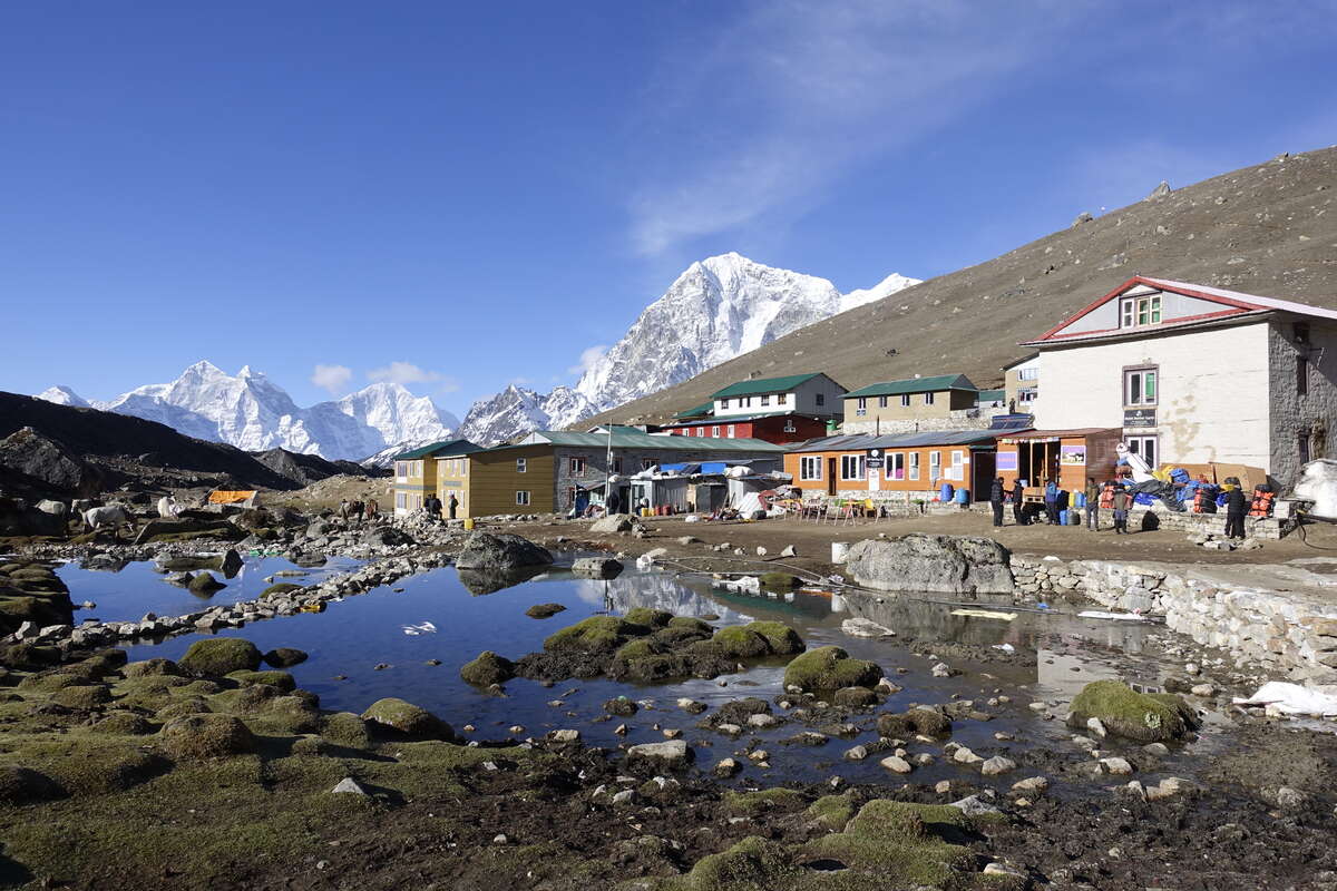
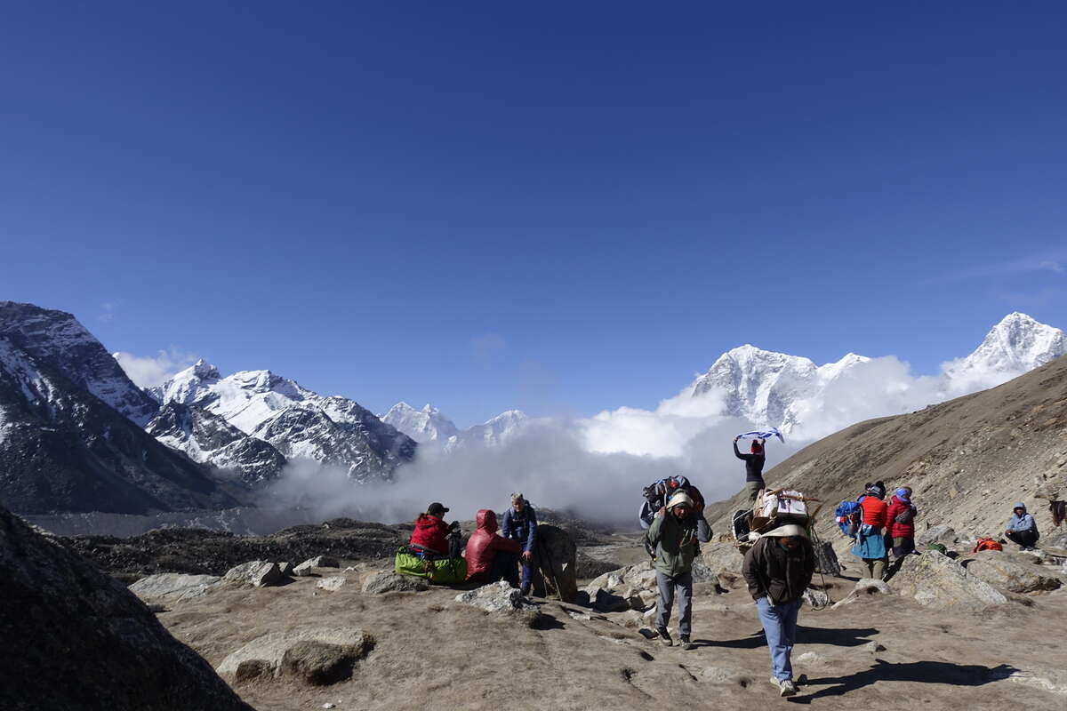
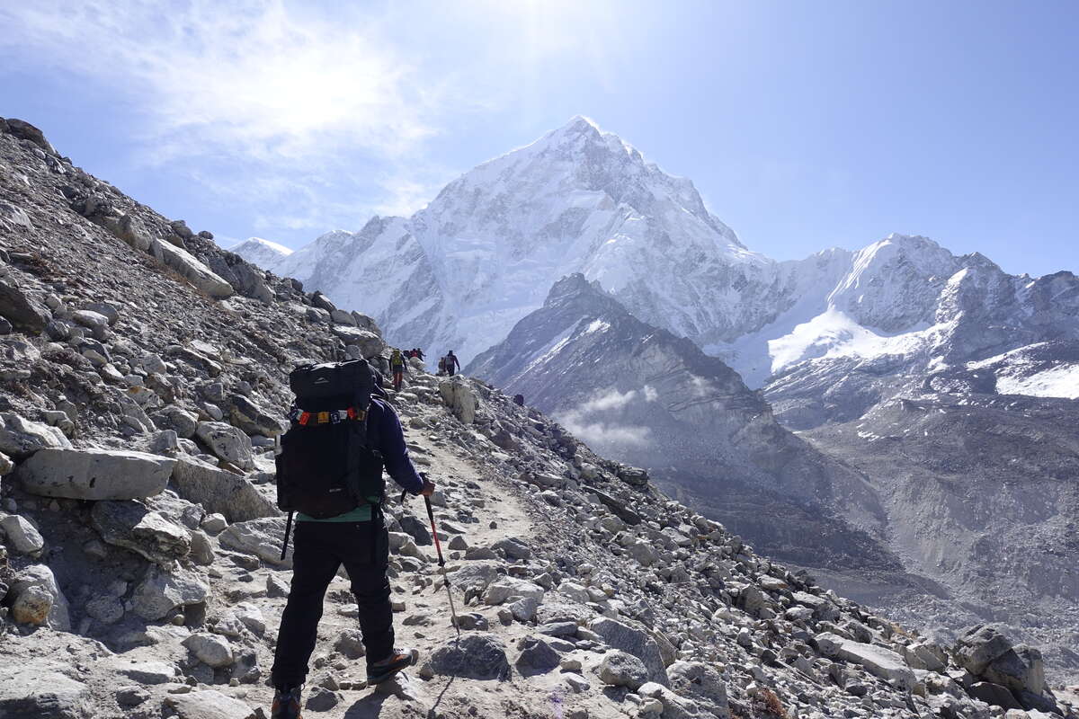
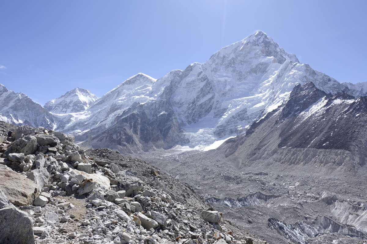
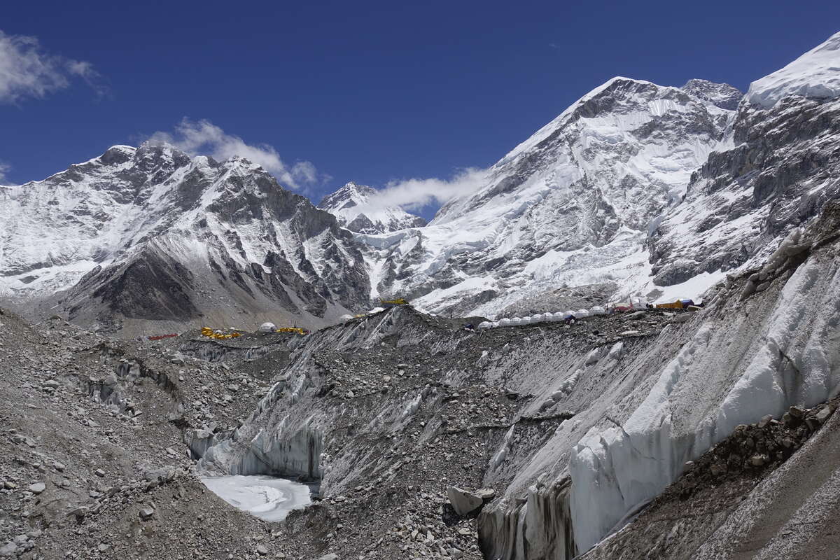
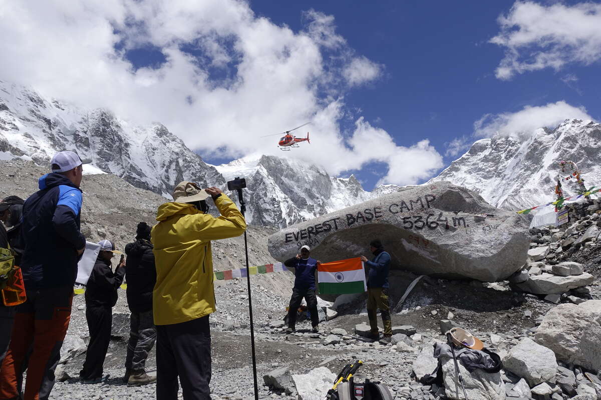
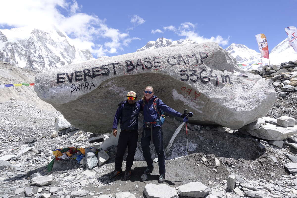
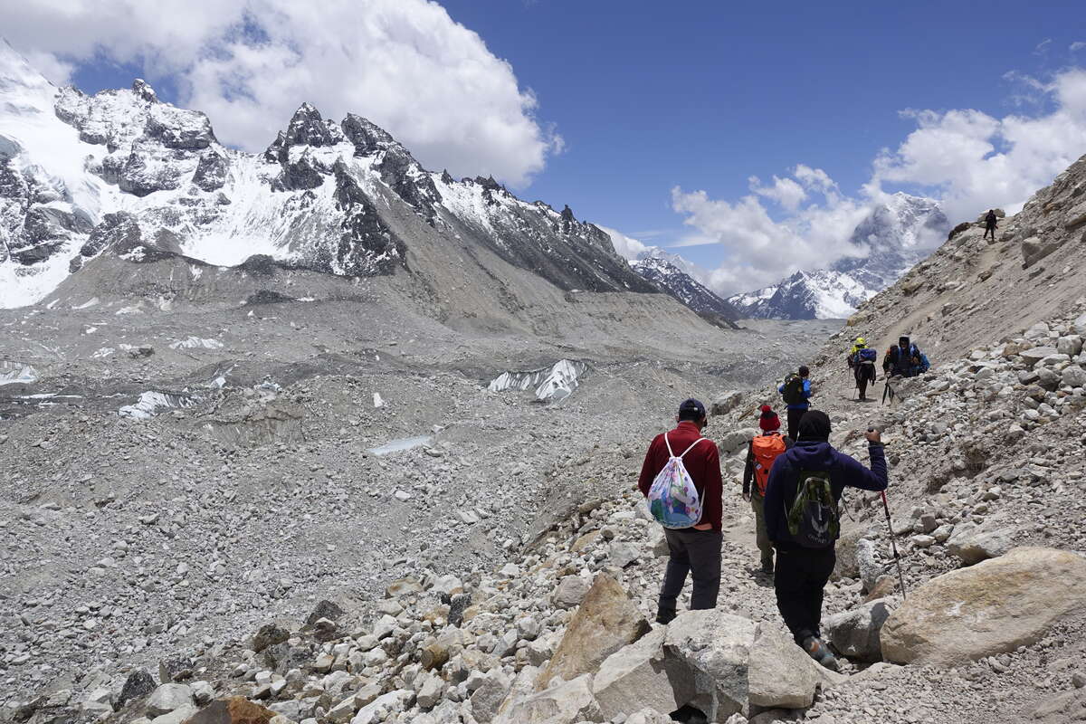
I sleep well but still feel tired and groggy when I wake. Fortunately this should be a fairly easy day - a funny comparison to those just walking EBC for whom this is potentially their hardest. We set out on what is practically a dirt highway, a stream of people - trekkers, porters, guides, the occasional yak. No one lives up here except to work on the trail. The path climbs gradually, with only a couple of short steep steps. I've got more energy than yesterday and these are all very maneagable with just a normal amount of shortness of breath. A few people ride horses - something I've not seen anywhere else on these trails where the only animals have been pack animals. Indeed if you want to spend some extra money you can ride the whole trail and not have to walk a step yourself. We make it to Gorakshep for 9am. I have an early "lunch" of Sherpa stew, and sit and listen to the conversations of the groups around me. The last time I was somewhere so busy was at Kote; where I sat mute and somewhat intimidated in a corner and listened to people recount their experiences on 7000m mountains and discuss their plans for Everest summit. Now there’s a big group of Brits in matching t-shirts asking their guide to arrange horses to ride and a helicopter to meet one of them at Base Camp as “I just want to fulfil my goal and get the hell out of here”. I’m mildly baffled, if this is his take on it, as to what exactly he is hoping to achieve from said “goal”. The path on to base camp hugs the lateral moraine of the glacier, rising and falling over rubble and rocks. The view remains stunning, the glacier itself becoming more icy and less rock covered as we get closer to its source. A steady stream of helicopters pass back and forth - the valley so busy that they must fly on the left, like cars on a road. We reach base camp. Everest itself is a small dark triangle behind closer ridges, its topmost slopes too steep to hold snow. The camp itself can't be entered by outsiders, and anyway it is just tents. By now all the climbers will be high on the mountain, maybe even the summit itself. We sit a while, grab a photo with the sign. It is fun to watch people celebrate. Then we head back, following the same trail but now its slightly downhill. The same mountains and glacier but from a different angle, and maybe a little more breath to appreciate them. Getting back to the teahouse it’s not quite 1pm so I have another lunch, then go and sit out in the sun and listen to my book and watch the view. I’m glad for the easy day, the last few days when we've arrived I've just wanted to lie on my bed and not move much, but now I’m feeling refreshed and more curious about the world again.
Day 17: Gorak Shep to Dzonglha (4830m)
10km
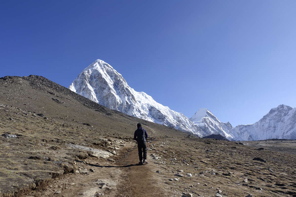
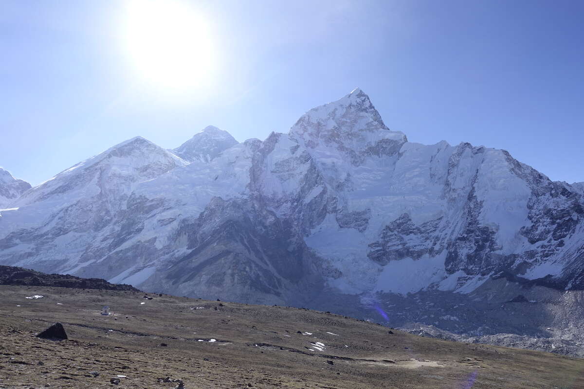
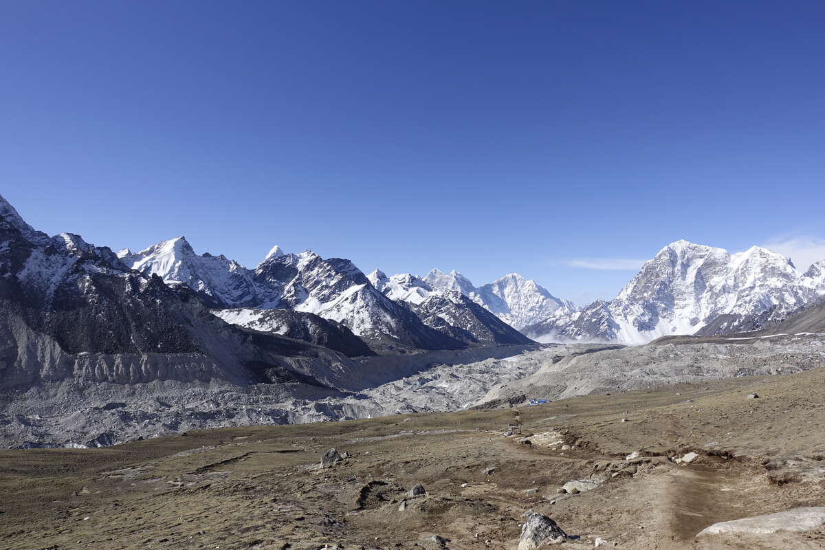
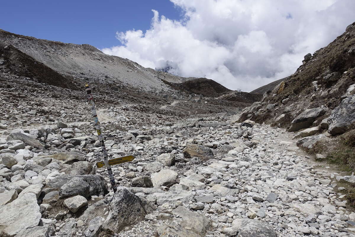
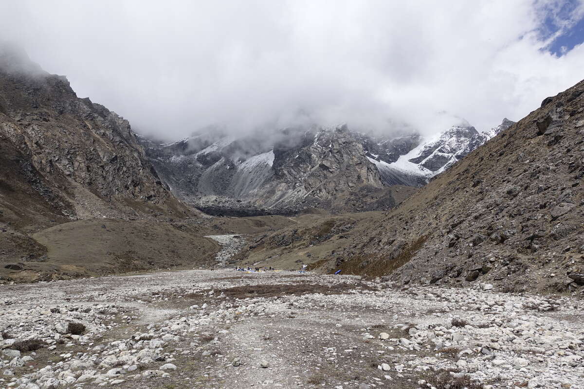
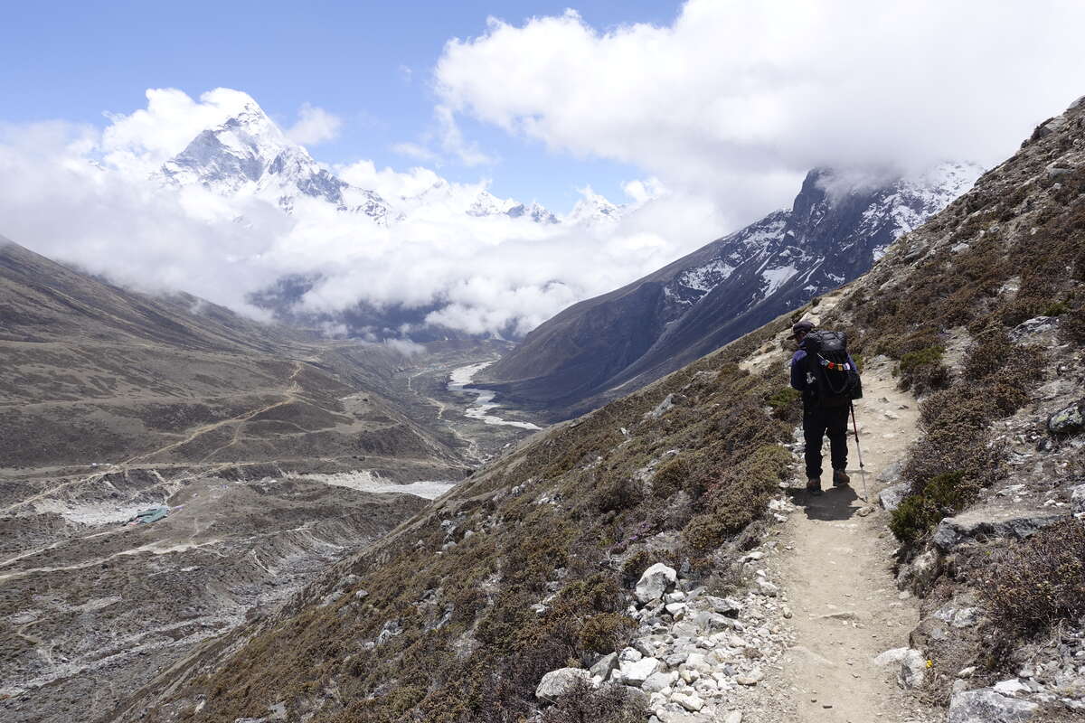
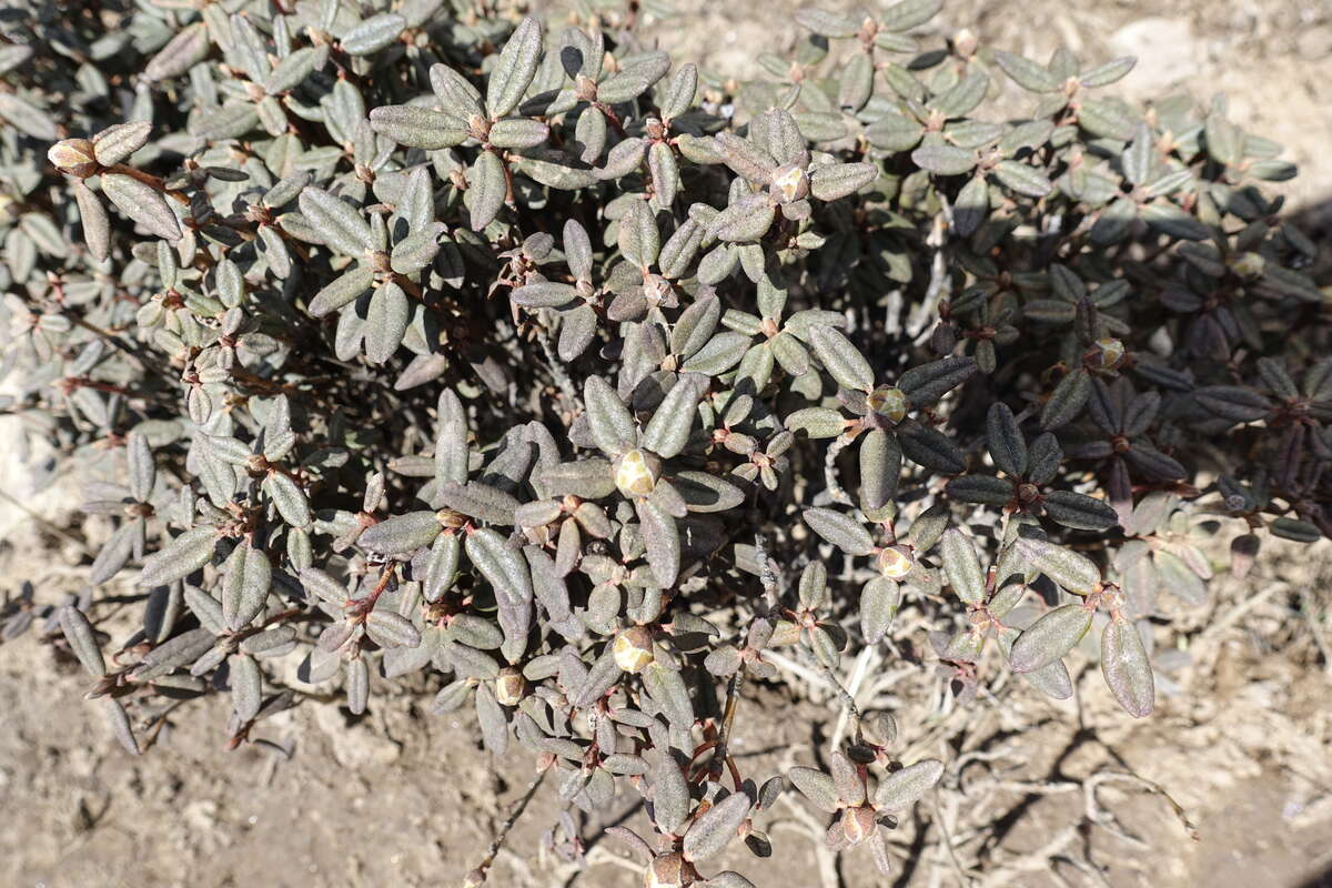
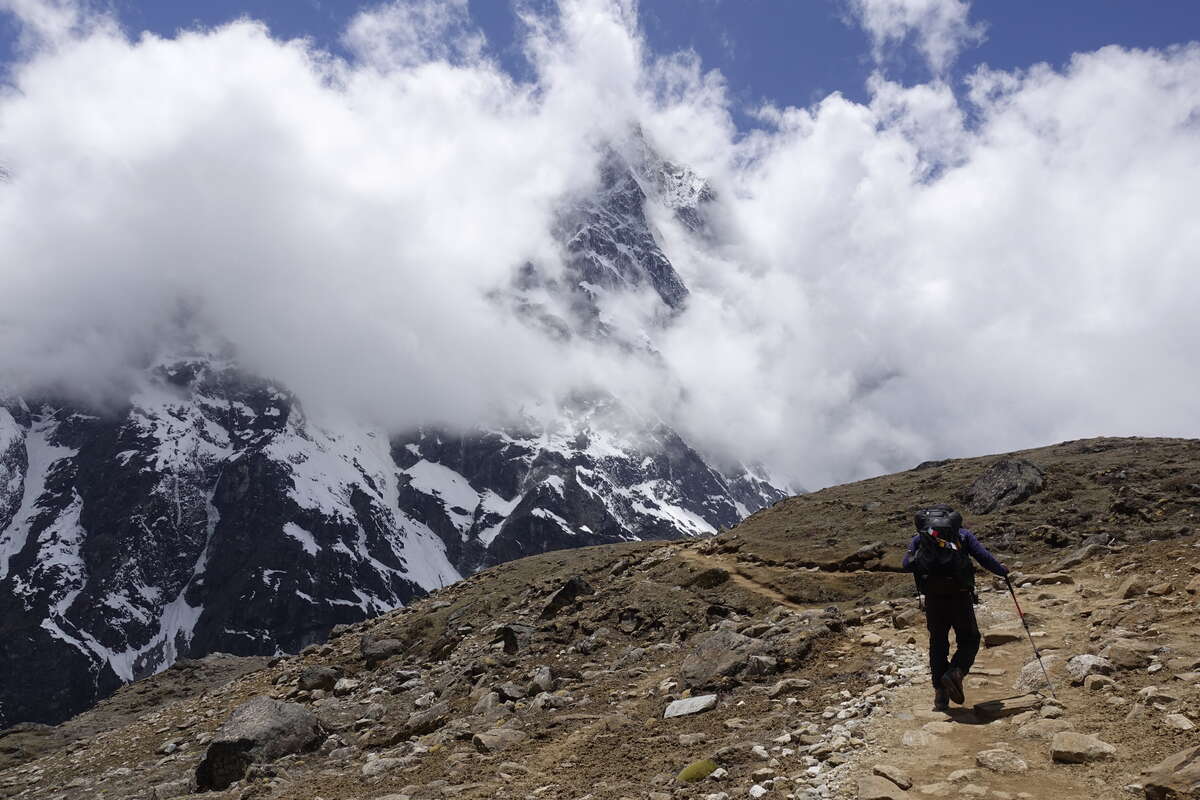
According to the program I'm supposed to get up every early to see the sunrise from Kalapattar. But when the alarm goes off at 4am I'm tired and it's partially cloudy. Having seen a lot of good views already I elect to go back to sleep. Waking up at 6am the clouds have cleared and I feel much better so we start the morning with half the hike - enough apparently to see all the mountains that you can from the top anyway. It’s very beautiful and that’s good enough for me. Plodding up I actually feel like I have a bit of energy back, yes it’s glacially slow as always over 5000m but once I've got past the initial gasping for breath and feeling like I might wet myself I’m actually moving quite well. The same can't be said for reversing the EBC track. I thought today was a downhill day but it starts with a remarkable amount of up. I feel a bit like I'm dying. Yes that’s melodramatic but I'm supposed to be able to cope with this by now. The trail is just as rough as it was on the way in but now all the roughest bits seem to be uphill rather than downhill. It seemed a silly thing to note when I looked at the map but I realise now why there is a small pass marked shortly before Gorakshep. Eventually the rocky bit comes to an end and we descend off the moraine into the little dip that sits alongside it; a mini valley of it’s own tucked up against the rockwall of the mountains. It has a nice smooth sandy path along the bottom with no more ups and downs, and progress is easy all the way back to Lobuche. We stop at the same teahouse for lunch, though its only 9:30 so I have an hour nap in the sun first. Carrying on we stay on the EBC trail for a short way then turn off towards Cho La. There are people packing away a tented camp which apparently was the base camp for Lobuche itself. Peak climbing season is ending though the more popular peaks seem to have slightly longer windows - Everest I think is still open for another two weeks. Our trail turns a corner, traversing back upwards into new mountains. Clouds flank the left hand wall of the valley but then the upmost part divides to reveal yet more mountain, suspended an improbable distance above the valley floor. The floor itself is a silted up lake, the braids of river channels weaving their way across its flatness. We carry on, taking a high traverse that the valley gradually rises to meet. There are shrubs around us - juniper and the one they burn for incense which gives off a heady smell in the heat of the sun. I think these are the first properly vegetated (and not snow buried) slopes I've seen since Thangnak, 10 days ago. We reach our teahouse via a final short climb and I can definitely feel there is more oxygen here, even though we've only dropped about 300m since this morning. 5000m seems to be a fairly critical threshold though whether that has any scientific basis (possible - if you take a look at how the oxyhaemoglobin curves works) or is largely psychological I can’t decide. Time for more rest.
Day 18: Dzonglha to Drangnag (4700m)
Via Cho La (5368m) 8km
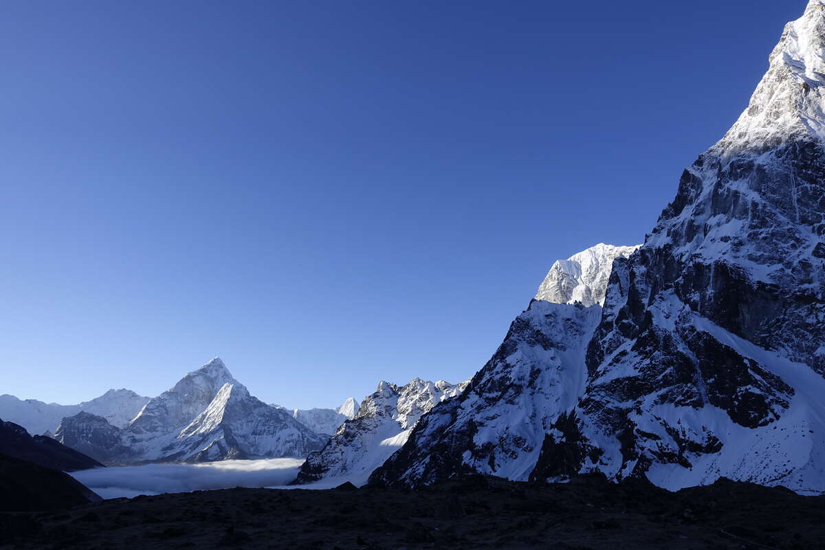
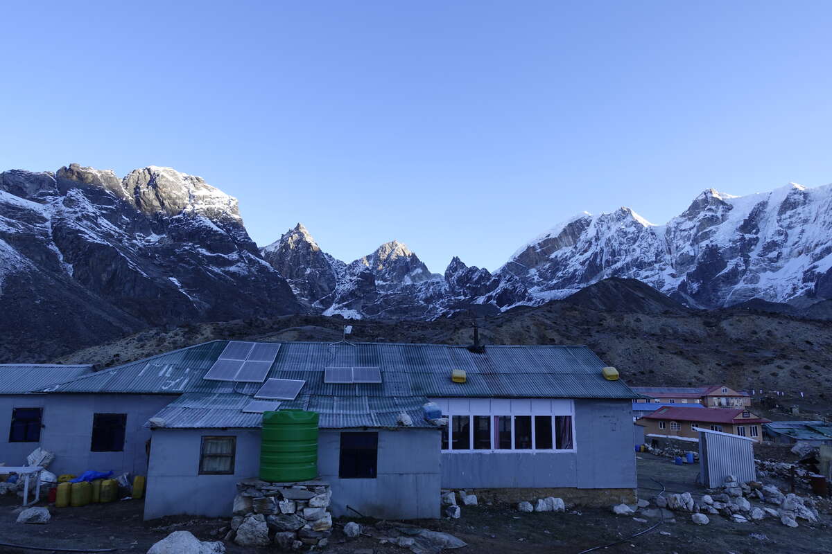
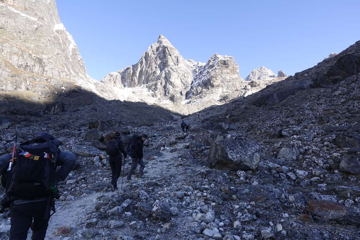
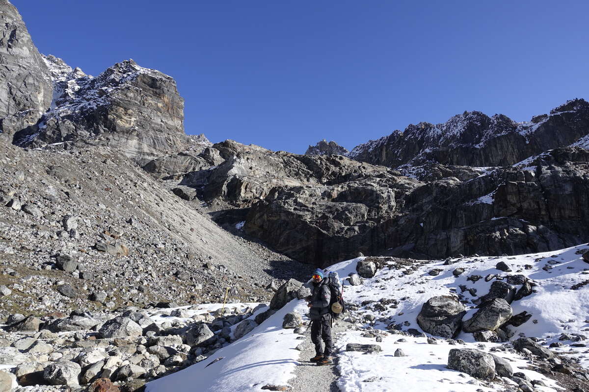
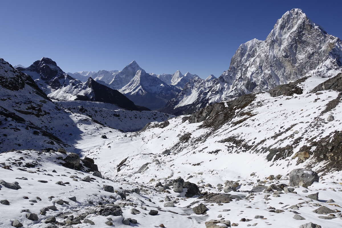
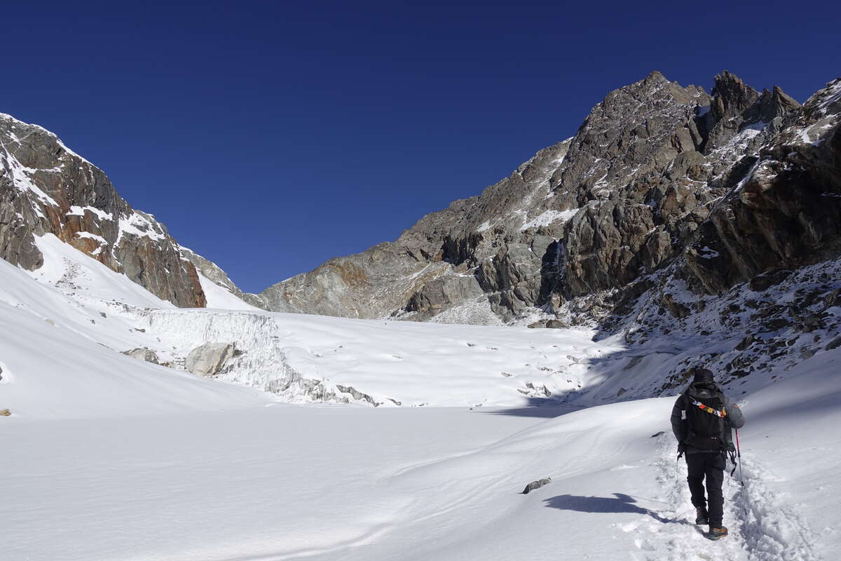
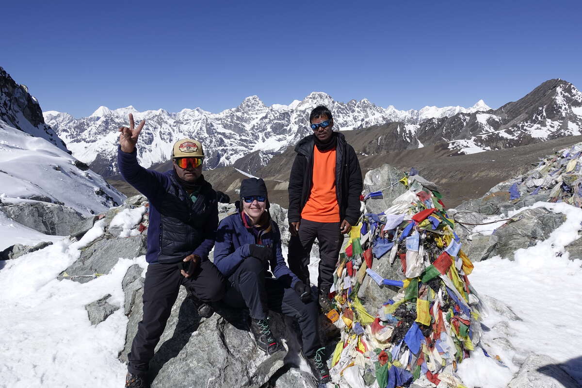
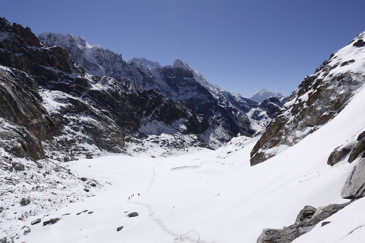
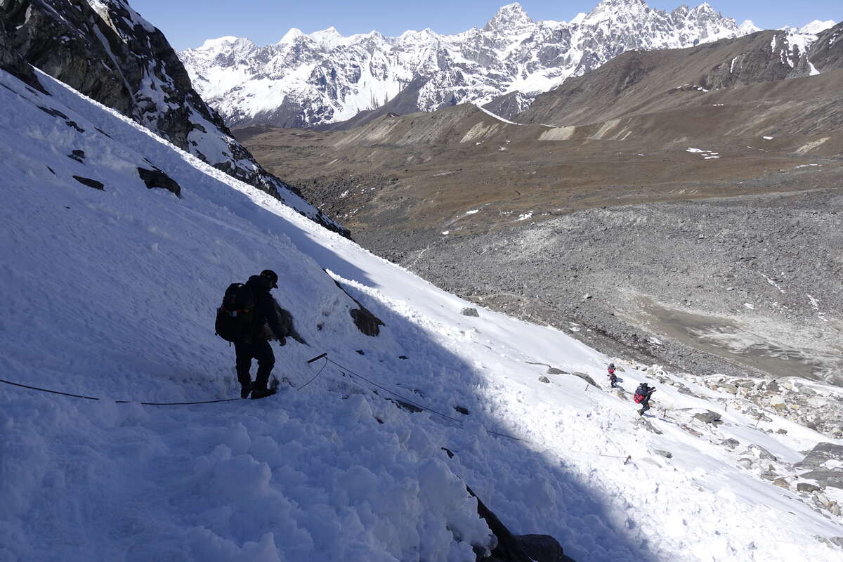
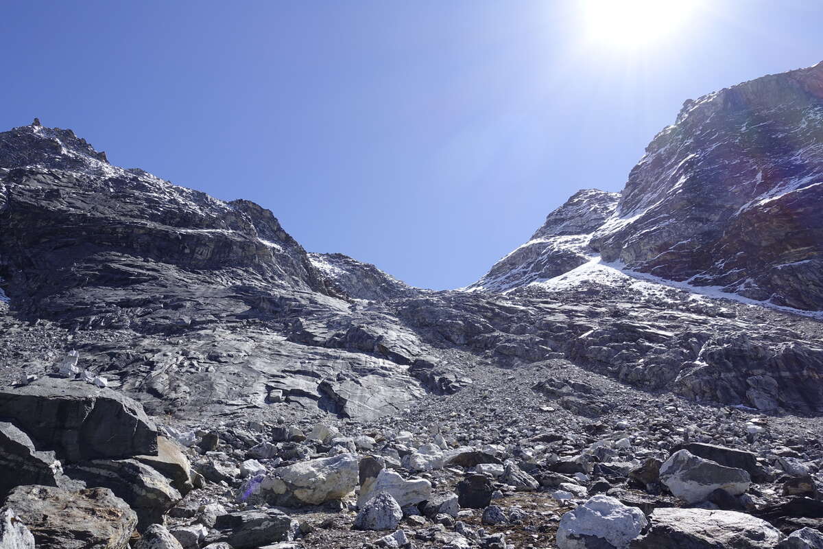
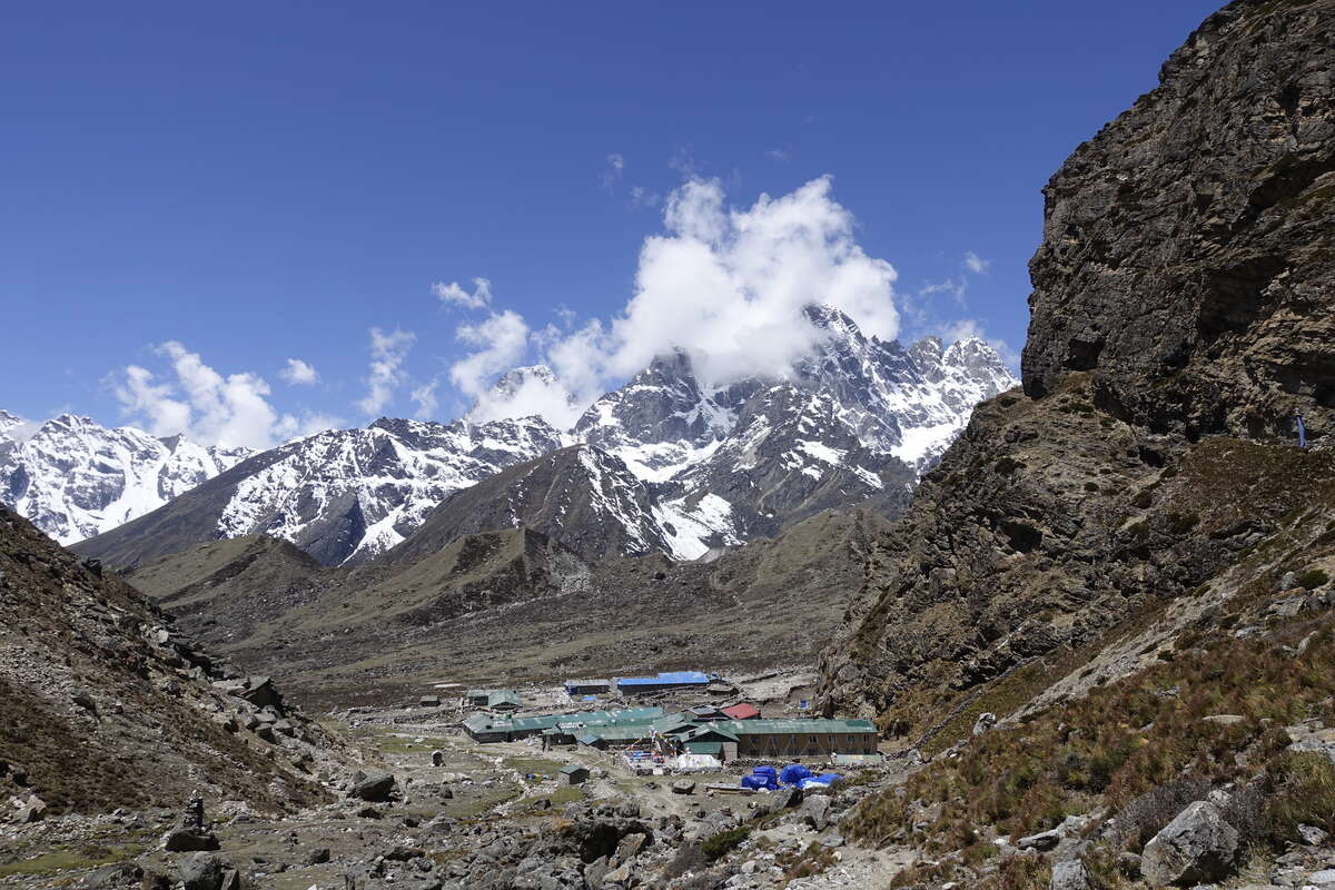
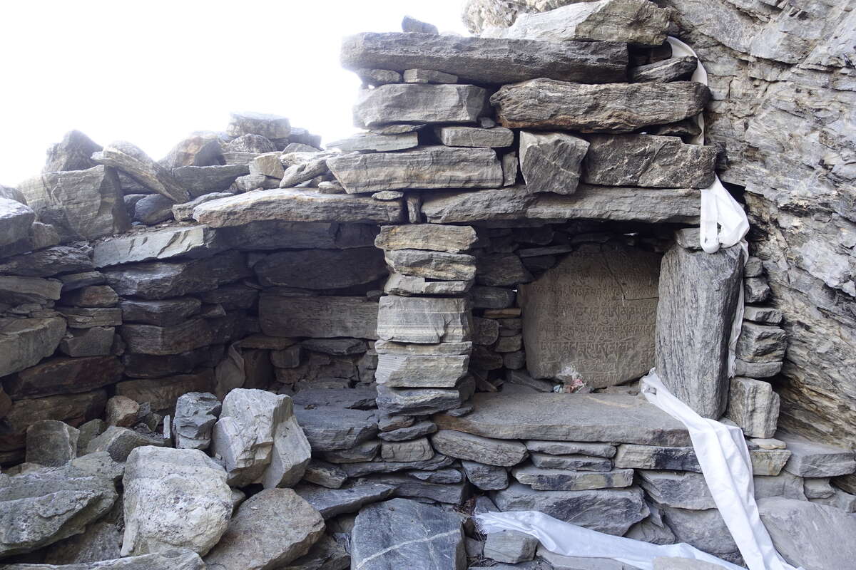
My alarm goes off at 4:50 again and, glancing out the window I find myself in a cloud. Great. Get dressed, pack up. When I enter the dining room for breakfast the cloud has dropped. It’s lapping at the hillside just before us like a great fluffy white lake, while above it the mountains rise into a clear blue sky. It continues to fall and by the time we set out an hour later it has almost completely gone. The trail winds into the mountains, climbing only gently at first. I've slept well and have more energy than I've had in days. As the sun lights the snowy summits to either side we start to climb. We catch other trekkers, pass them slowly. There is ice in the streams and a thin layer coats the loose stones of the path so that climbing takes concentration. We keep winding upwards, occasionally breaking into hot sun before tall cliffs plunge us back into pre-dawn shadow. Gradually snow and ice come to dominate and the rocks grow scarcer. I don the micro spikes, keep gaining height. Ahead the glacier shines brightly in the sun. We take a break for snacks and water, and look back over the many summits behind. Every view recently has been stunning but this feels especially so. Onwards, there is a line of yellow poles marking the route up the centre of the glacier. This is in direct contradiction to my map which says "keep left, danger of crevasses". Som says this refers to the old route which followed the left hand wall and exposed trekkers to significant rock falls which claimed a number of lives. Good to have a guide! The path between the poles is well trodden and crisp and firm under our spikes. The sun boils down from above and then slams back up from the snow below. The air is perfectly still. The climb is mostly gentle right until the very end where a rock wall rises dramatically to the top of the pass. Stepping onto the rock I feel a sudden chill, as if a cloud had passed over the sun, but the sky is an undisturbed blue - it is just the loss of the radiated heat off the ice. There is a cable if you want it, and a steep scramble up bedrock, rubble and boulders. There is one particular smooth face that shines a deep rippled green, almost as if polished. A set of rough blocks are propped improbably against it as stairs. Serpentine? Most of my brain is occupied by breathing and not falling off so we'll just assume yes. At the top there is a small crowd of people, the first from each direction come together. We take a break to enjoy the view then have a long descent down the other side. It is impressively steep. Cables continue alongside us but they are close enough to the ground that you have to crouch and throw off your balance to use them. Probably more helpful in ascent. The snow continues, crisp and icy, and I remain enormously glad to have an ice axe, though since a few at the summit of Mera I've not seen anyone else carry one. Crunch, crunch, we keep on heading down, the snow eventually giving way to great slabs of rock and scree. At the bottom we pause for a breather then on again. The trail crosses a series of low ridges, short grasses appearing amid the snows. Then there is a cleft of a valley which leads us down down, down, the grasses growing greener and a perfectly clear stream bubbling through the rocks alongside. We come to Dragnag for midday, perfect timing for lunch. Then we have the afternoon free. I take an hour’s nap, then climb a little way back up the trail to investigate some prayer flags at the base of the cliff. I find a ruined dwelling with a number of Mani stones in small alcoves. An old monastery. There is charred incense on the stones and small bank notes have been rolled into the cracks. Overhead, a fluttering of once-bright flags send their prayers out onto the wind. Returning to the teahouse I listen to my book out in the sun, watch a few games of badminton and play one myself. My opponent Copilla is the first female Nepali trekker I have met and has dreams of climbing Everest next year. Our badminton skills are equally mediocre and at 4700m we are quickly and equally out of breath. After an enjoyable 20 minutes Scotland Vs Nepal ends in a draw.
Day 19: Dragnag to Gokyo (4790m)
Plus Gokyo Ri (5357m) 6km
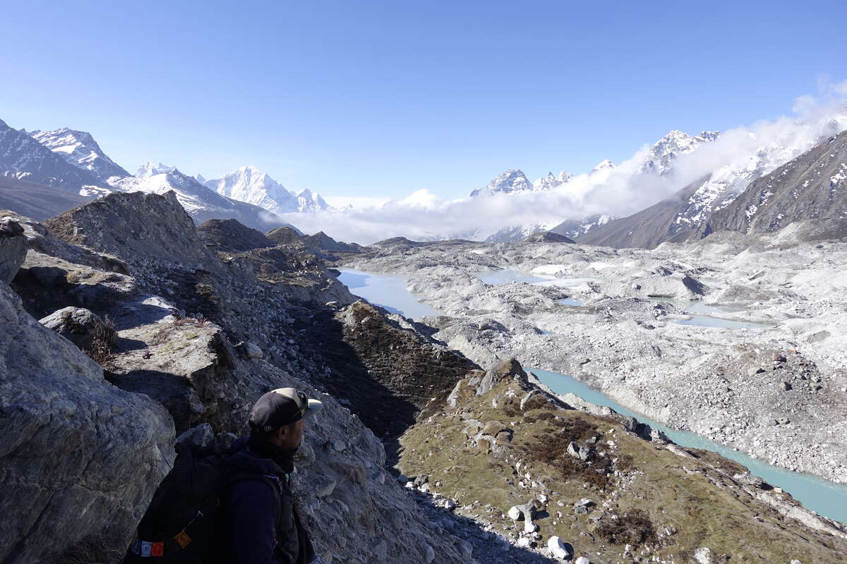
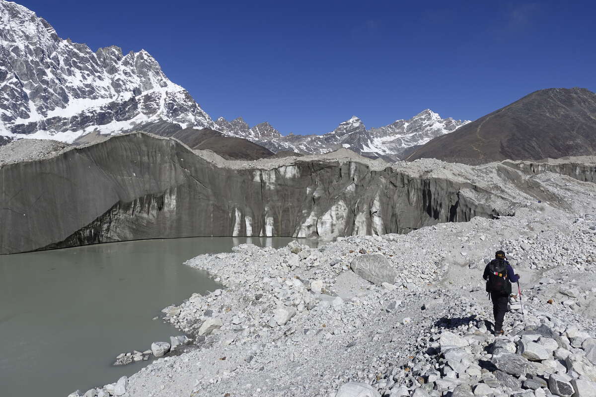
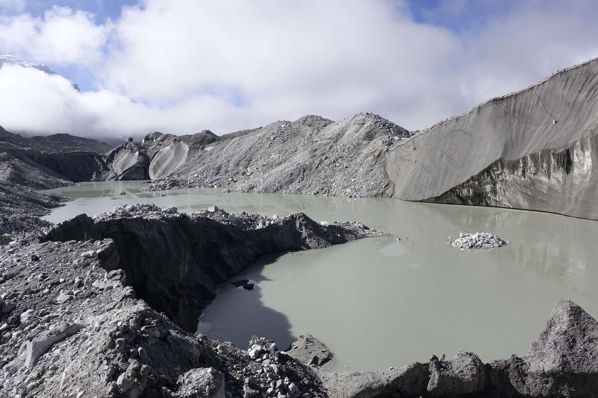
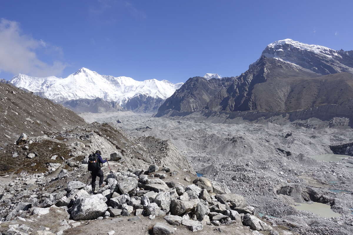
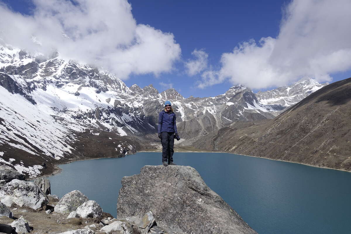
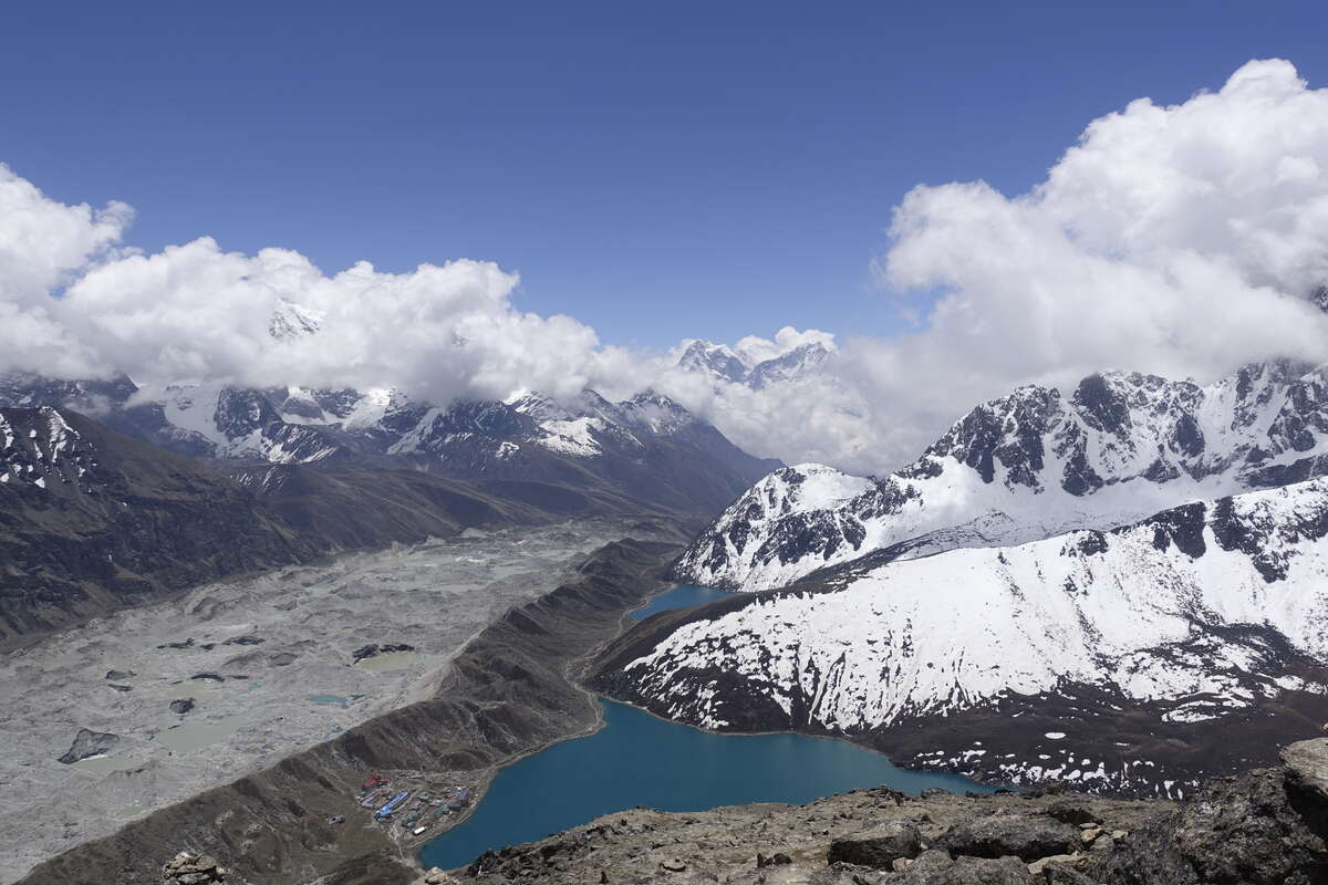
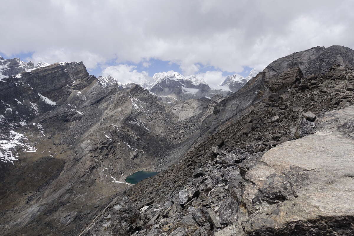
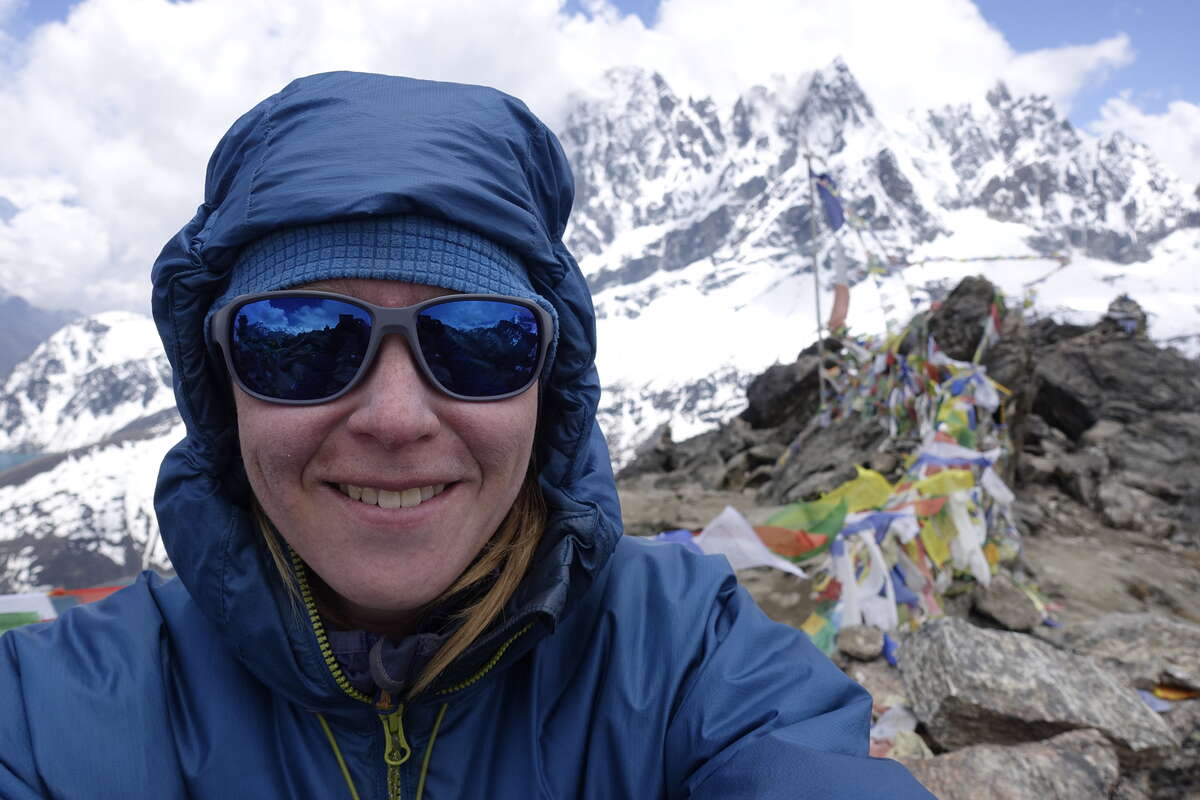
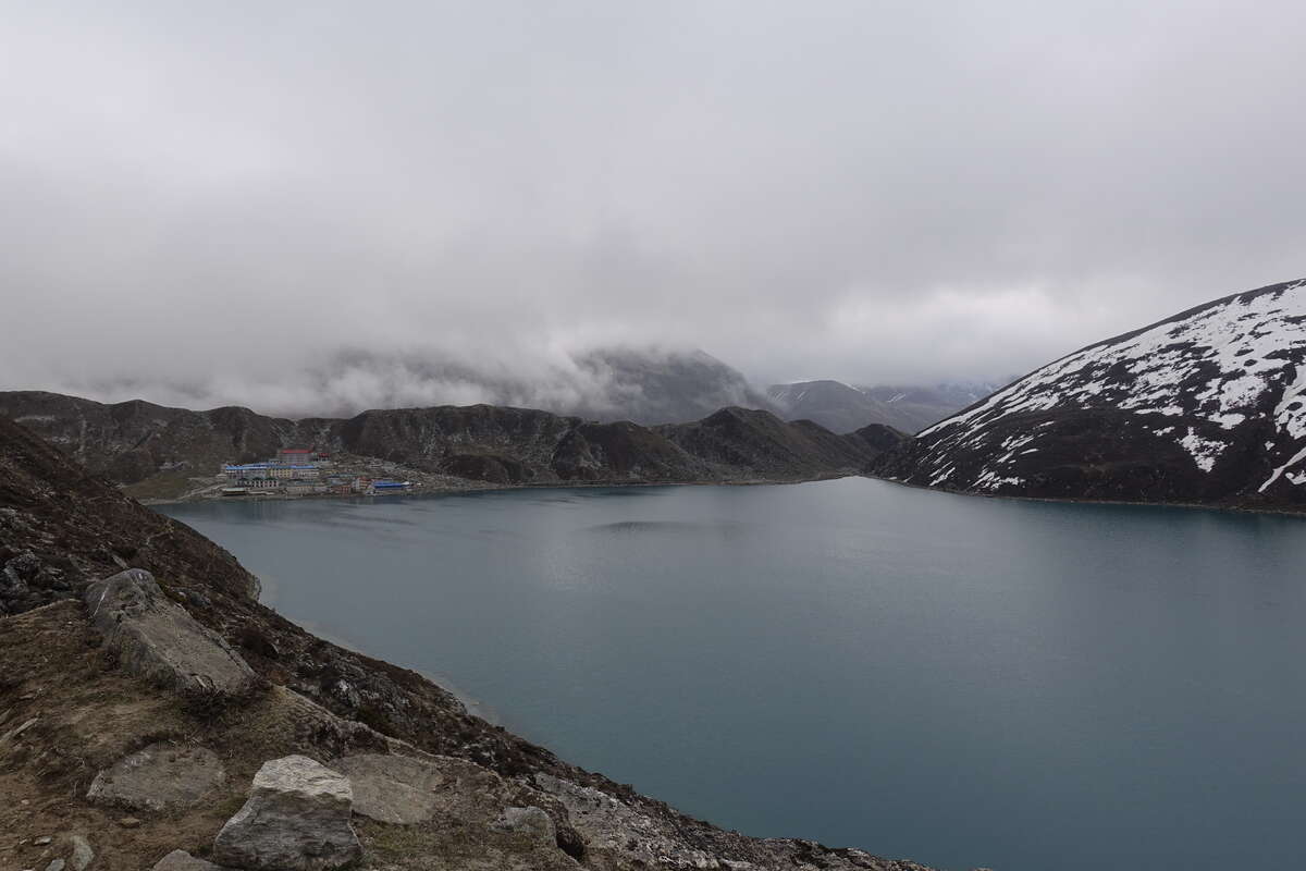
A very short day on the map but the majority of it is spent on top of a glacier, meandering our way up down and around. We follow a trodden path but there's not much in the way of markings and I'm glad Syla is ahead figuring it out so we can just follow. There are many pools of grey, green and clear blue, each with its own shade. Above some hang walls of grey ice which drip and release small stones into the waters. Som says the path is different every time he comes this way. Occasionally there is a rattle and a crash and larger stones slide from precipitous edges. Often these are far away; occasionally they are just beside your feet. On the other side is Gokyo, the village and the lake. The lake is a beautiful blue pool surrounded on three sides by high mountains and on the other by its glacial dam. The village is the usual cluster of brightly coloured hotels though some of these reach three storeys. There is a man moulding yak dung into round cakes to dry on a rock in the sun (since we left the tree line a few weeks ago heating has been exclusively from stoves powered by dung, occasional cardboard and copious splashes of paraffin). We install ourselves in a teahouse by the waters’ edge, then head out again as I’m keen to get up Gokyo Ri while the view is still mostly clear. It’s a zigzagging dirt path that takes us straight up about 500m but I'm feeling good today and manage it well at my now thoroughly practised glacial plod. At the top are many strings of prayer flags and a view that stretches out over the glacier into Tibet. Everest is there somewhere too, hiding its head under a blanket of cloud. We sit a while then head down for an only slightly late lunch. The afternoon is for rest and I spend it lying on the bed in my room which has both a beautiful lake view and direct sunshine to bask in. Bliss. Finding my way to the dining room later I meet Cain, a fellow trekker from New Zealand with plans to walk the TA later this year. The owner of the teahouse is keen to entertain and shows us photos of Gokyo 40yrs ago when it was just few yak herders cottages. In the corner of one field are the tents of a trekking party - any trekkers had to bring their own tents, cooking supplies and food which would be a very different experience to today, frequently requiring a great many porters and more of an expedition type feel. He tells us that most of those who run the teahouses today are descendants of these herders though now farming is in decline and yaks won’t sell - why bother when most supplies can now be brought in by helicopter? They come in for rescues and to relocate those wanting to part with money instead of time, which in peak season can be daily affairs.
Day 20: Goyko to Thame (3800m)
Via Renjo La (5360m) 18km
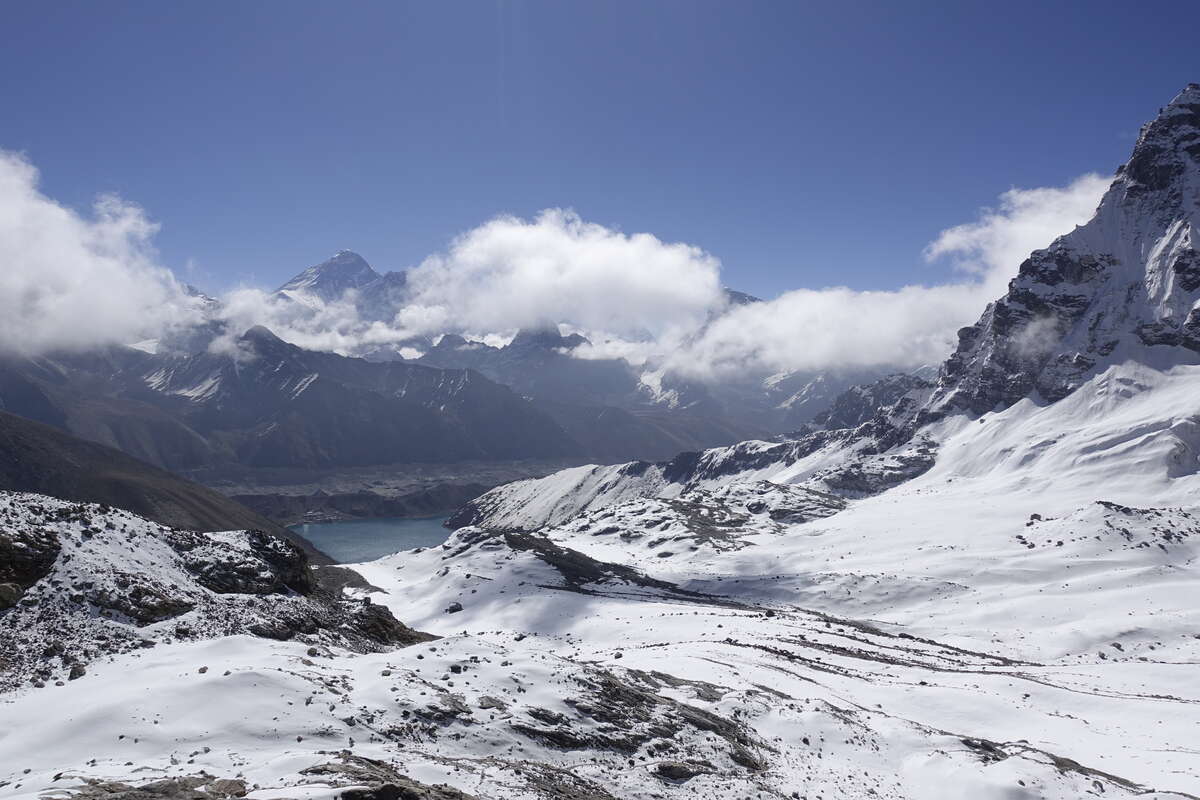
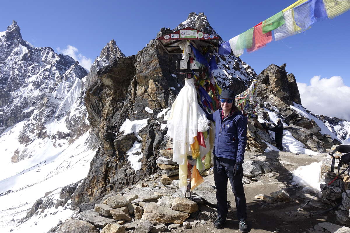
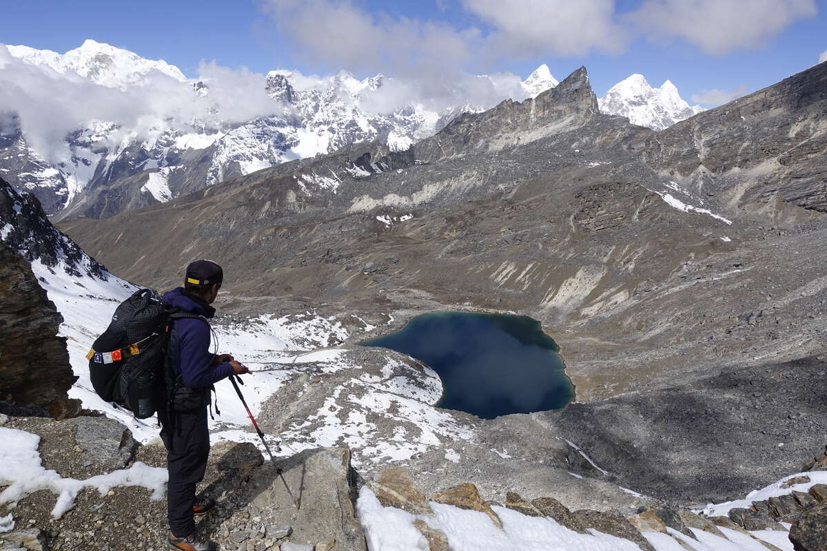
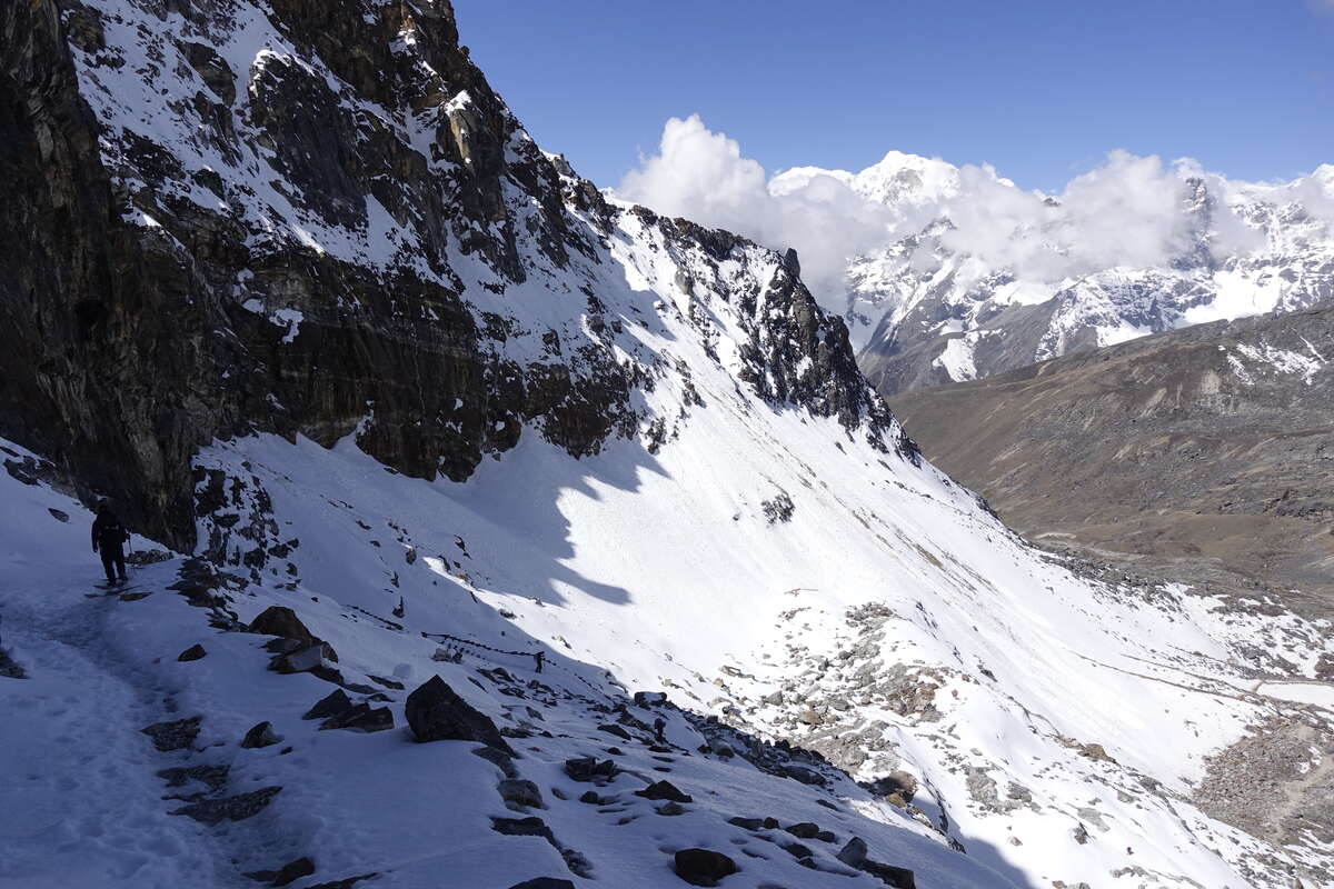
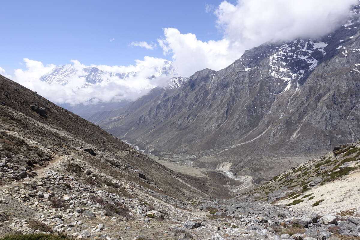
Our final pass. It’s another early start and the teahouse is shrouded by cloud in the early morning light. I cross my fingers for another inversion but these clouds rise rather than dropping and at the point we set off they’re hovering 50m overhead as a thick blanket of grey into which our trail leads. Fortunately it rises with us as the trail leads us around the shore of the lake then steeply up a zigzag scree path. At the top of this we reach a bowl surrounded by clouded ridges and filled with snow. A way can be found around the side that hugs the rocks, and we continue to gain height as the clouds whiten and thin above us and occasional glimpses appear of the surrounding jagged peaks. Up, up, up the heat builds as the sun reflects off the snow and I realise I have forgotten yet again to apply suncream in between my eyebrows. That poor bit of skin, hiding deep under a hat brim but fully exposed to snow glare, has been really suffering on this trip. Well, this should be the last day in the snow. We reach the steep and rocky back wall though nothing quite so severe as Cho La. The path skirts in from the side so we come quite suddenly to be surrounded by prayer flags and a view over the other side when I thought there was still a way to go. The clouds are fragmenting and we sit a while and watch Everest, Makalu and other giants come and go from view. Down the other side is a steep set of stairs, half buried under snow. We jump from edge to edge, watching out for a thin film of ice that hasn't yet felt the warmth of the still rising sun. I keep my ice axe in hand and for one steeper stretch slip on my micro spikes but as always no one else bothers. Down, down, down we come to Renjo lake sitting still and calm in the bowl of the pass. There are a pair of orange ducks sitting on its surface but too far out to make out any details about them. Then I wander into a patch of flies. They have been sitting on the warm rocks of the path and rise up in a swarm when my feet disturb them. There must be thousands. I try to speed up through them and also not inhale them but these things are not compatible with each other at 5000m, especially when combined with a very subtle upwards gradient. In seconds I'm feeling that all too familiar rising flush of internal panic, combined with a serious excess of heat caused by minor exertion + still wearing my big jacket from the pass. There is an excess of sweating and gasping and I have to stop mid swarm with my hands on my knees. The ducks look on with serene calm. It strikes me that although I can now plod my way successfully to very high places I am such a comically long way from being a master of my environment. Surviving, not thriving. I make it through the flies. The trail continues downwards, passing another lakelet and dropping into the side of a much larger valley. There is grass here, and shrubs. We reach Lungden for lunch and I chat to a fellow Brit who is on his way up and for whom Renjo La will be his first high altitude crossing. It is less than a month since I was in the same position but feels like practically a lifetime ago. We're at 4300m and the lowest altitude I've been in 2 weeks. I can feel a thickness to the air and more energy than I've had in weeks, despite the morning’s exertions. Which is a good thing as we're carrying on. Apparently if we cover another 9km I can have a free hot shower. We cover it fast. Syla sets a cracking pace and now I can keep up. We pass a number of small villages, their fields flush with green grass and a few crops. One house even has trees and I realise these are the first I've seen since Thangnak, before Mera Peak. It’s not long before there are others and then I am walking briefly in the shade of tall Cyprus. The river widens, prayer stones and stupas appear. We have descended into a valley where people actually live. There is an old woman, her face deep brown and wrinkled from a lifetime of sun; a young child playing in a doorway. They seem strange to me and I realise that the only people who inhabit the higher trekking villages are seasonal workers (the villages themselves are seasonal) and the very young and old do not feature. We arrive after a long day into Thame. The hot shower is excellent. There is also a mirror in which I catch sight of my own face for the first time in nearly three weeks. Half of it is looking quite tanned... I do the usual lazing about and meet Arwea and Walid from Argentina who are just starting their circuit - it’s an interesting contrast to hear them saying how cold it is up here while I feel that the air is suddenly really warm down here. They are still acclimatising and that comes with reduced appetites so I also score half of Arwea's dinner which is a welcome top up. For whatever reason I can't bring myself to go back to dal bhat (which comes with free refills) but even the biggest meals for lunch and dinner plus snacks in between are no longer cutting it.
Day 21: Thame to Namche Bazar (3440m)
8km
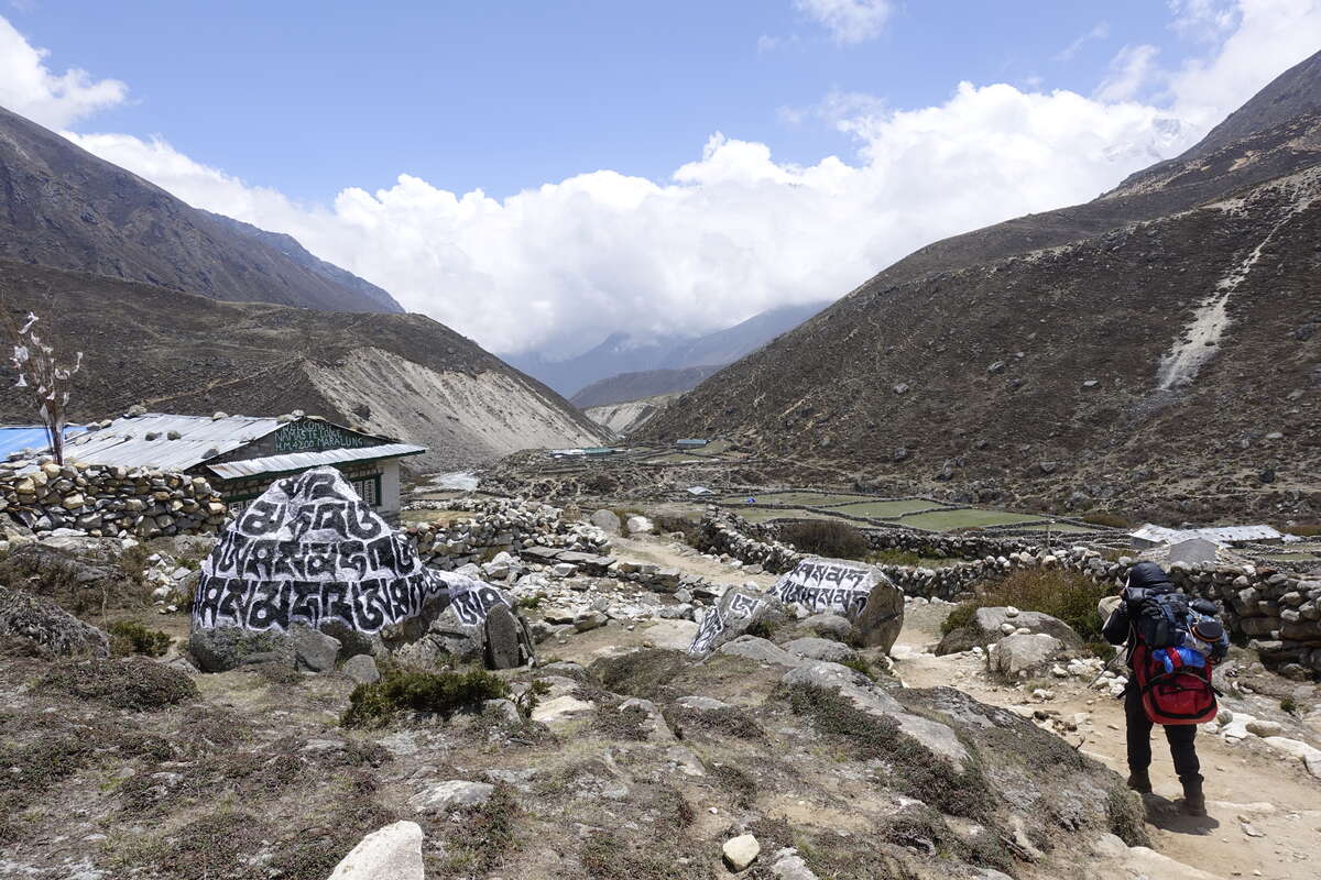
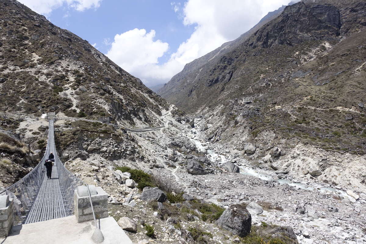
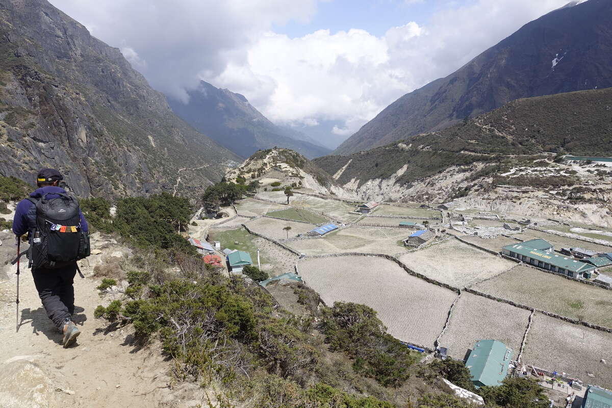
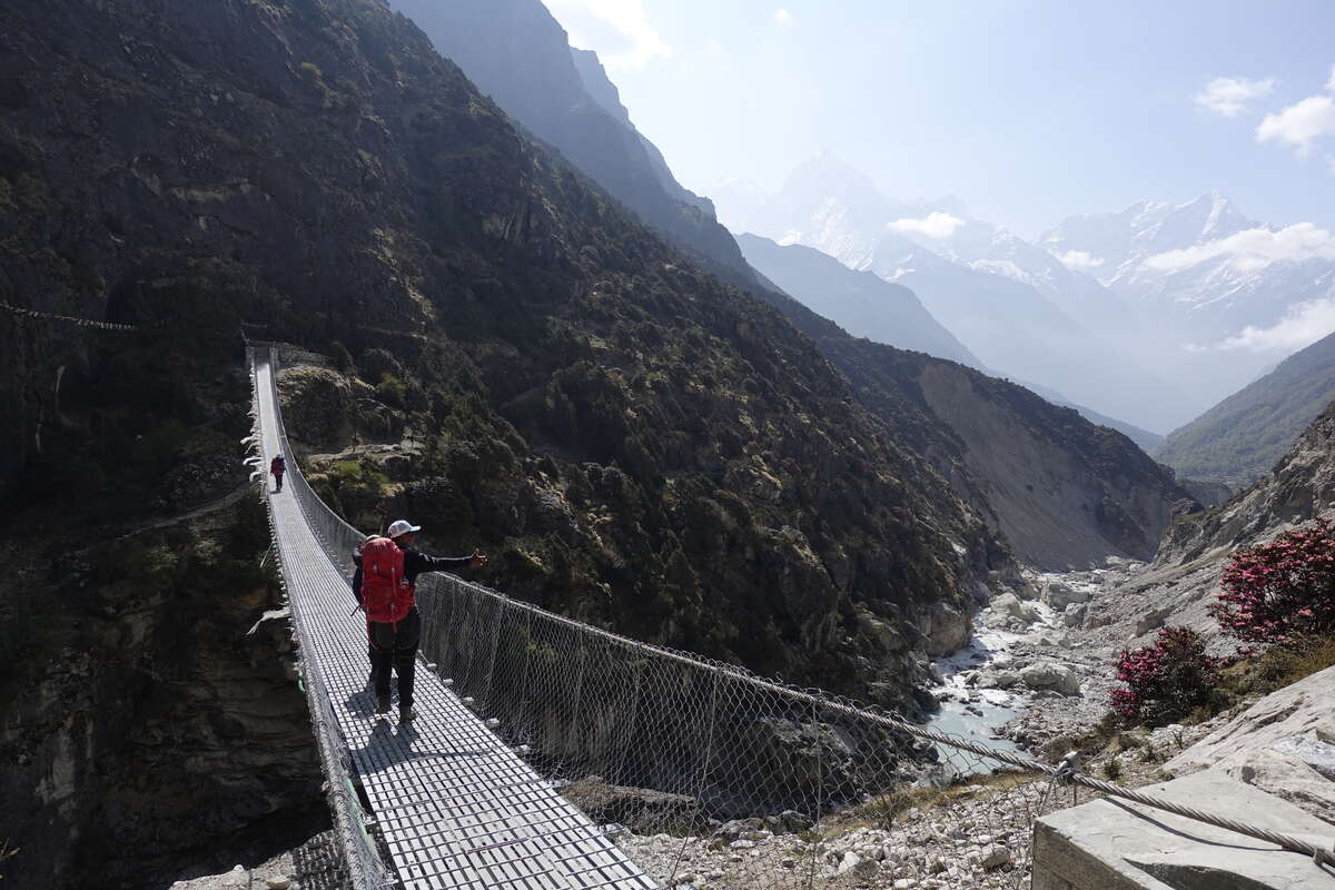
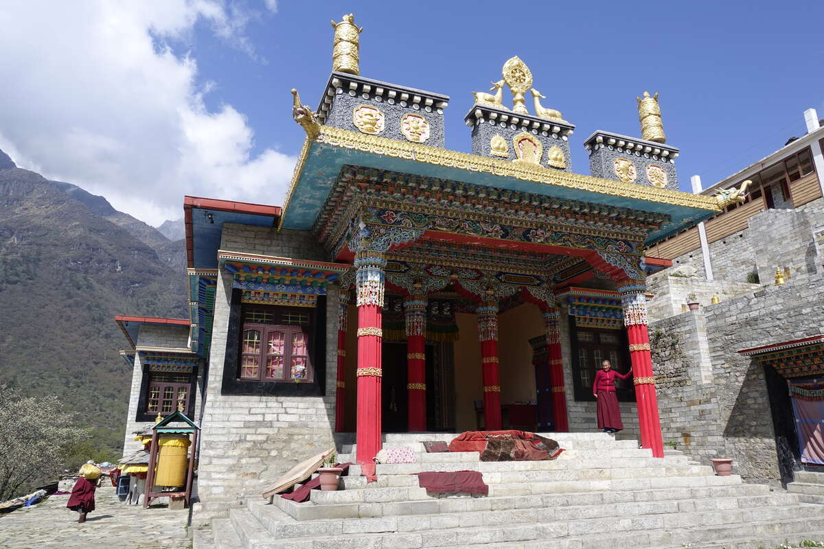
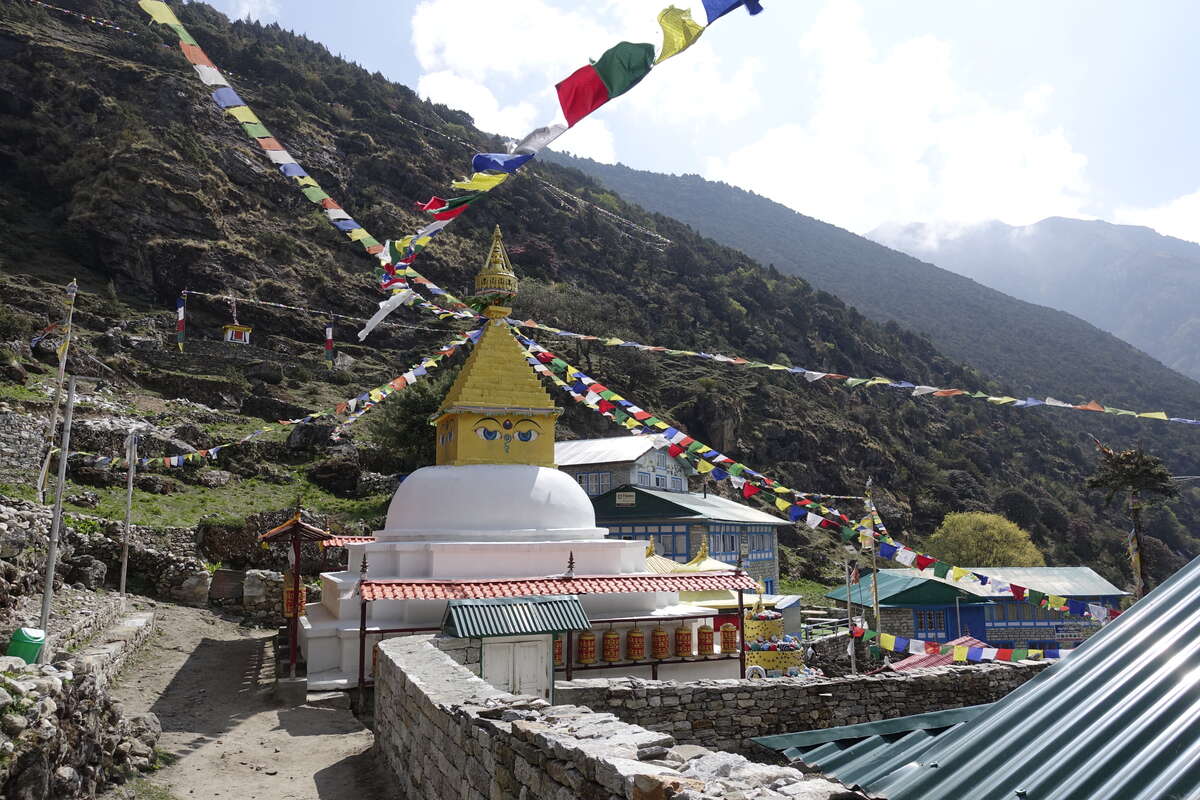
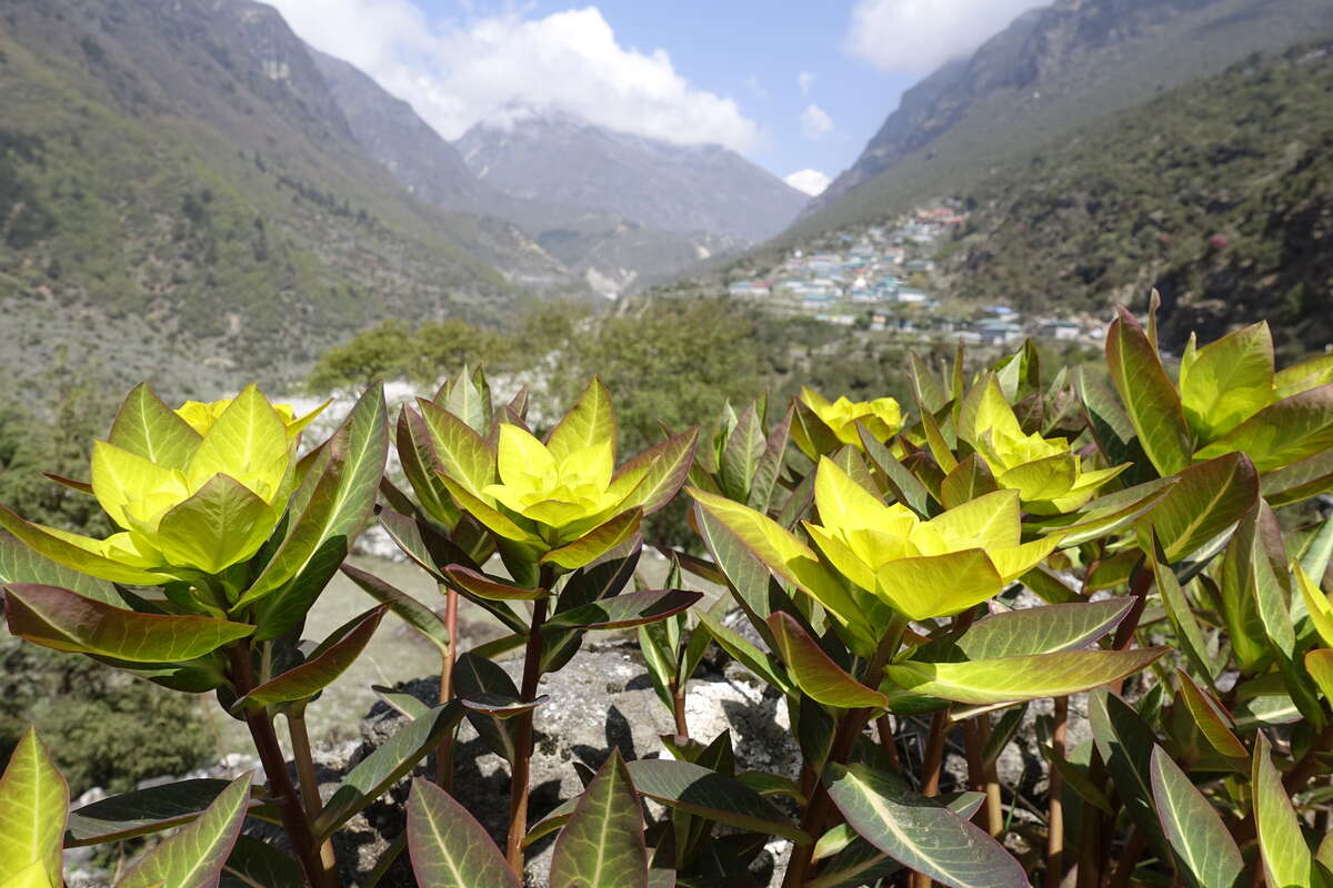
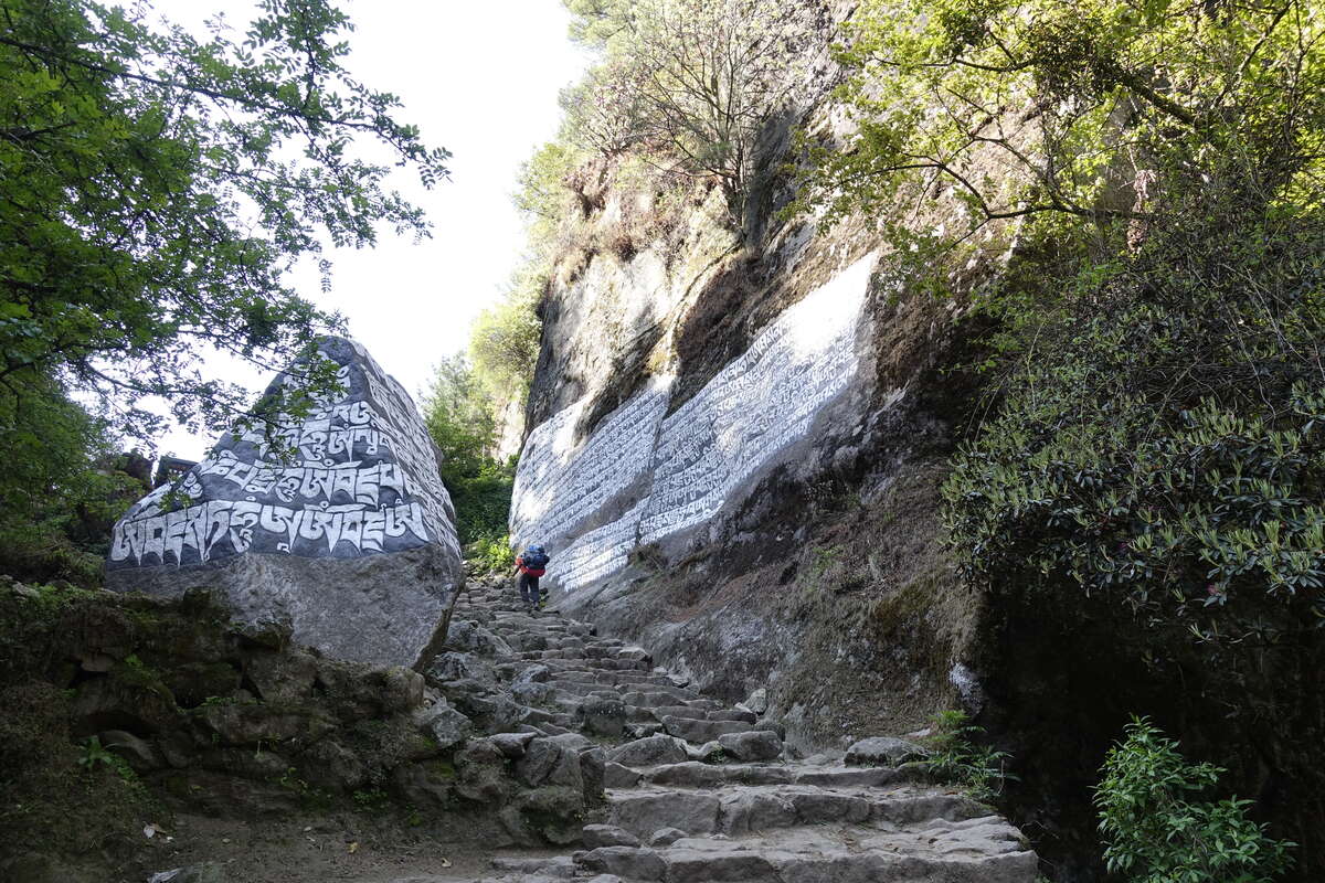
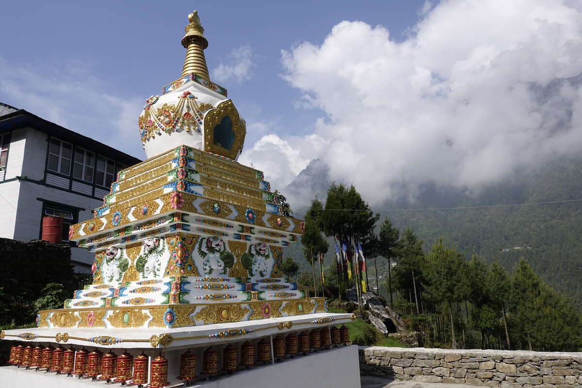
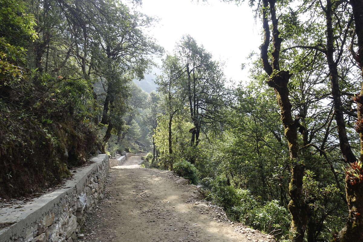
We get a lie in this morning. I manage a solid 10 hour sleep and wake feeling excellent. Having covered extra ground yesterday the distance is short, it’s overall downhill and the trail is excellent. Though "overall downhill" comes with a good helping of up and back down again. We start along a spur in the valley until quite quickly the river cuts in below our feet and we're descending steeply into a deep gorge and over a long wire bridge to reclimb the other side. I'm finding the climbs so much easier - not yet normal but it’s just a bit of heavy breathing and tired legs and not the internal panic attack which I'm glad to see the back of. The path for the most part is almost of road quality (albeit with the occasional flight of steps) and you could walk three abreast or get two trains of donkeys past each other with ease. Speaking of donkeys there are pack animals again, and the prayer walls and stupas are growing rapidly in abundance. We enjoy a brief stop to look around a very beautiful monastery which is run entirely by Tibetan women. Carrying on the trees grow taller and we are increasingly in their shade which is handy because I stuck with the fleece lined softshell trousers (the morning was cool and cloudy and I thought we would be going downhill) and I'm starting to boil. Back to summer mode from tomorrow I think. The rhododendrons are also back and in full bloom, filling the valley with shades of pink. We come to Namche for midday. Maybe because of the extra dinner last night I'm less hungry than usual so opt for some variety and have momos for lunch. It’s a mistake. They are delicious but I'm absolutely starving by 4pm and I've eaten all my snacks. I spend the afternoon exploring the village and its museums - Namche being practically a city compared to other places we've stayed. It’s slightly jarring to encounter large shops and I actually need to look at a map to find my way around. In other signs of civilisation my room has an ensuite with a western toilet AND my very own sink (these being non-existent higher up where any pipes would simply freeze). There’s also CCTV and a sign saying don't stay out too late and please be back before 9pm. To put this in context my current bedtime is around 7:30, max 8pm, and that's after spending the evening clustered around the teahouse fire. The concept of going "out" feels alien. Return to civilisation is beginning.
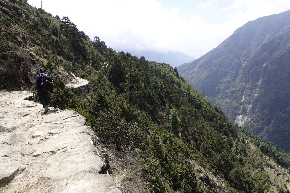
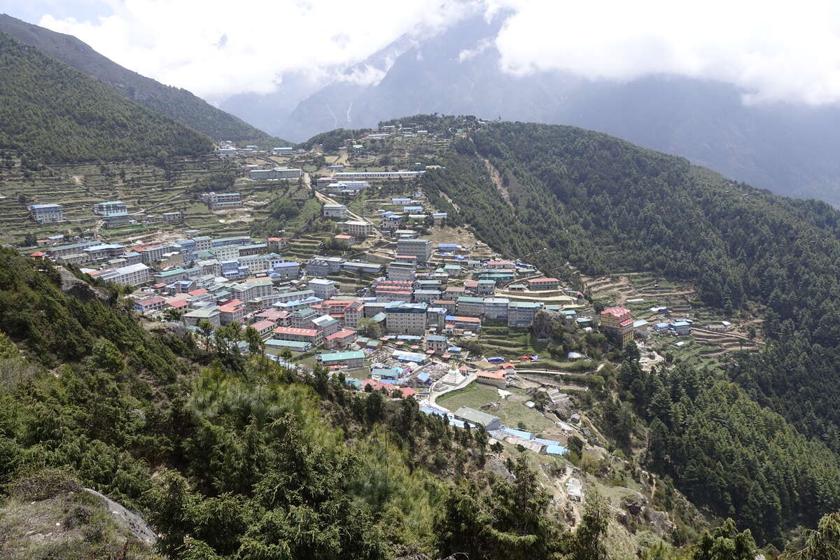
Day 22: Namche to Phakding (2610m)
8km
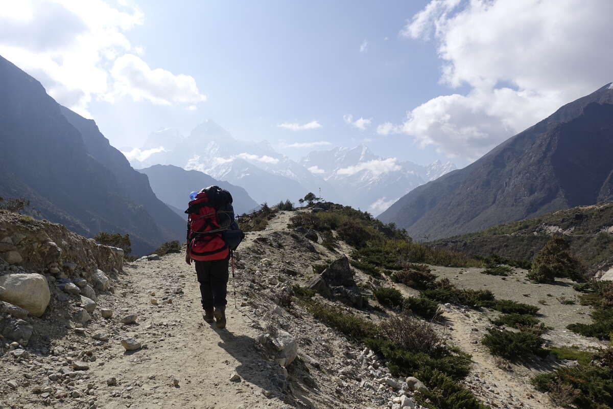
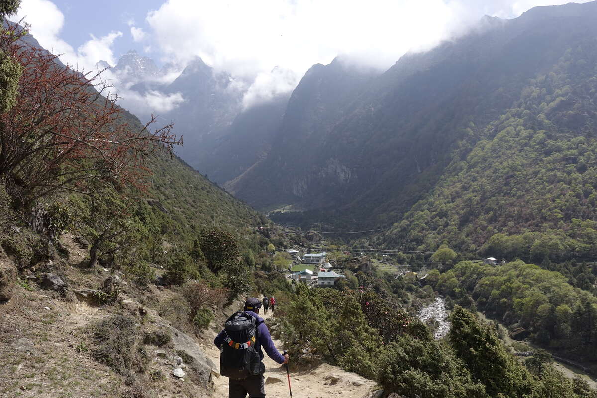
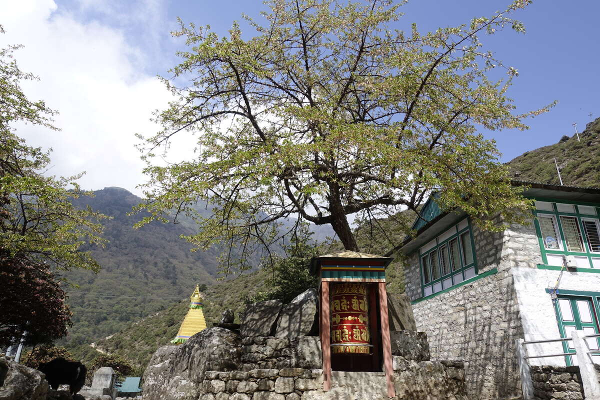
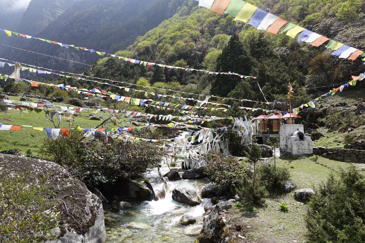
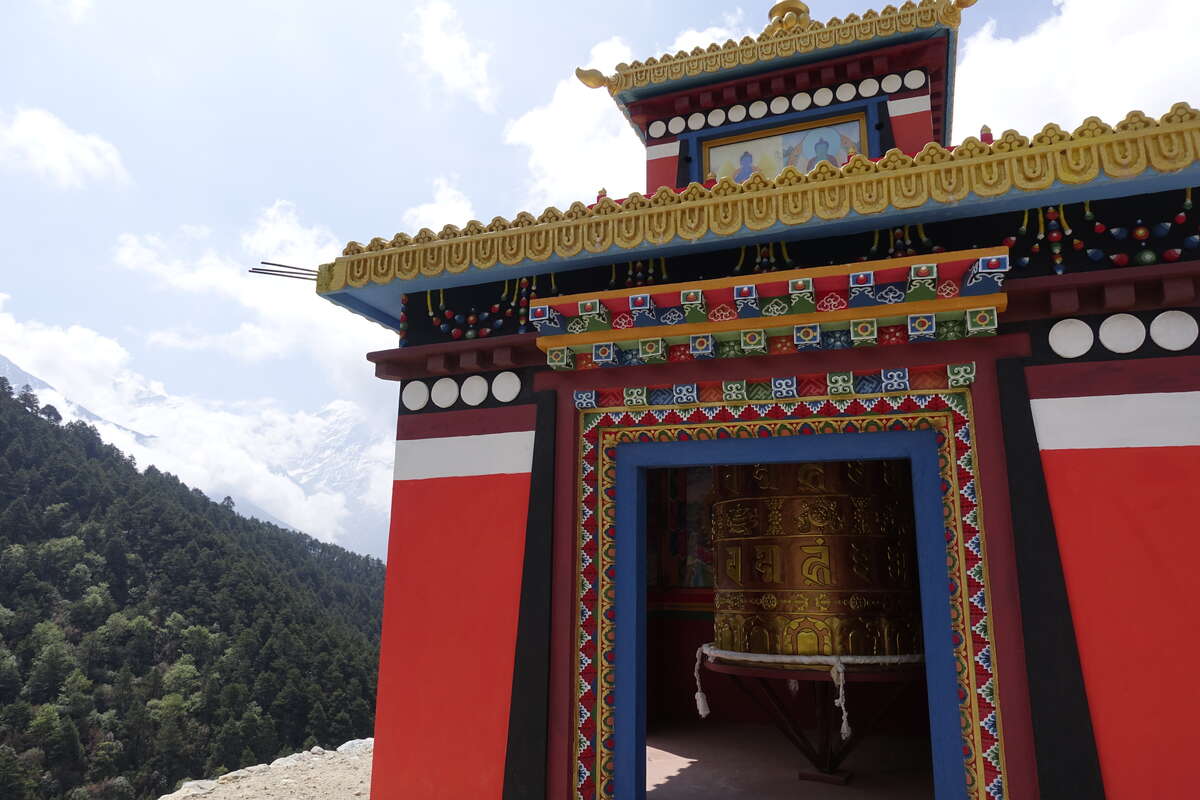
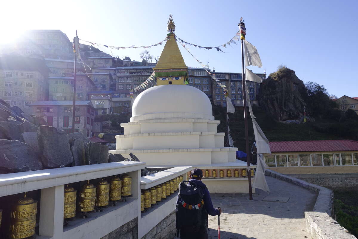
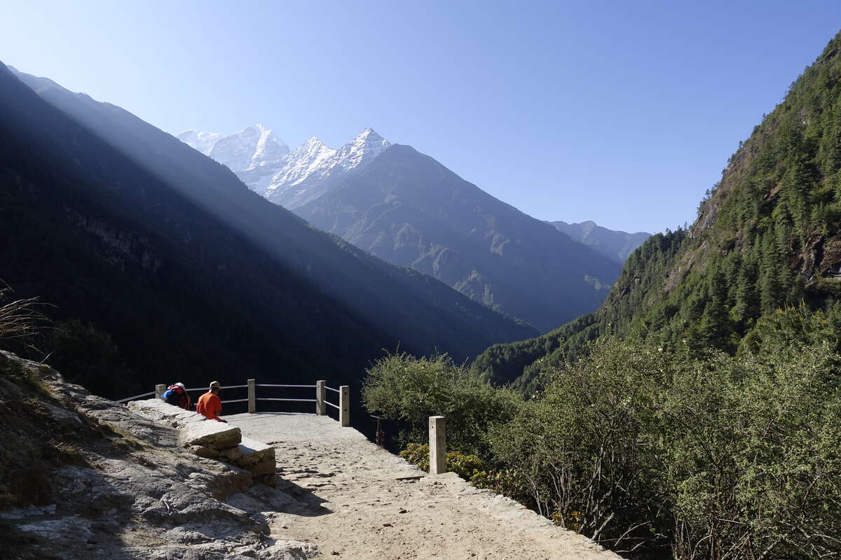
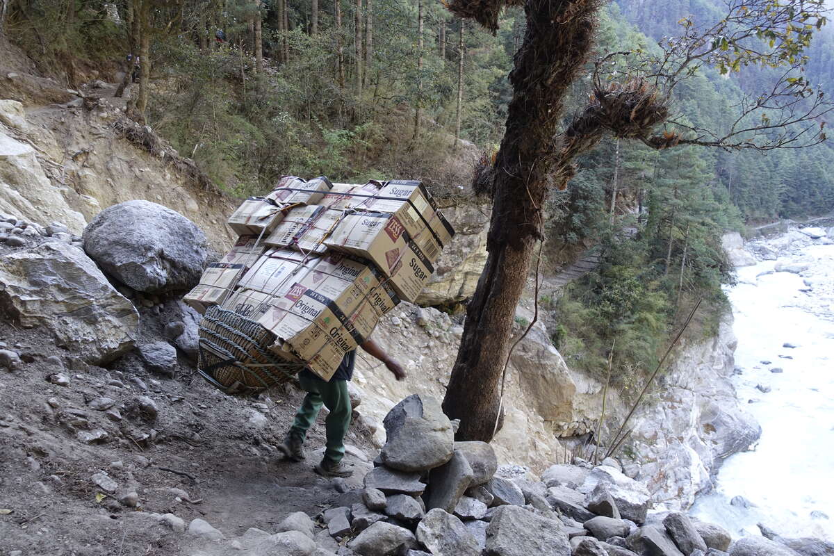
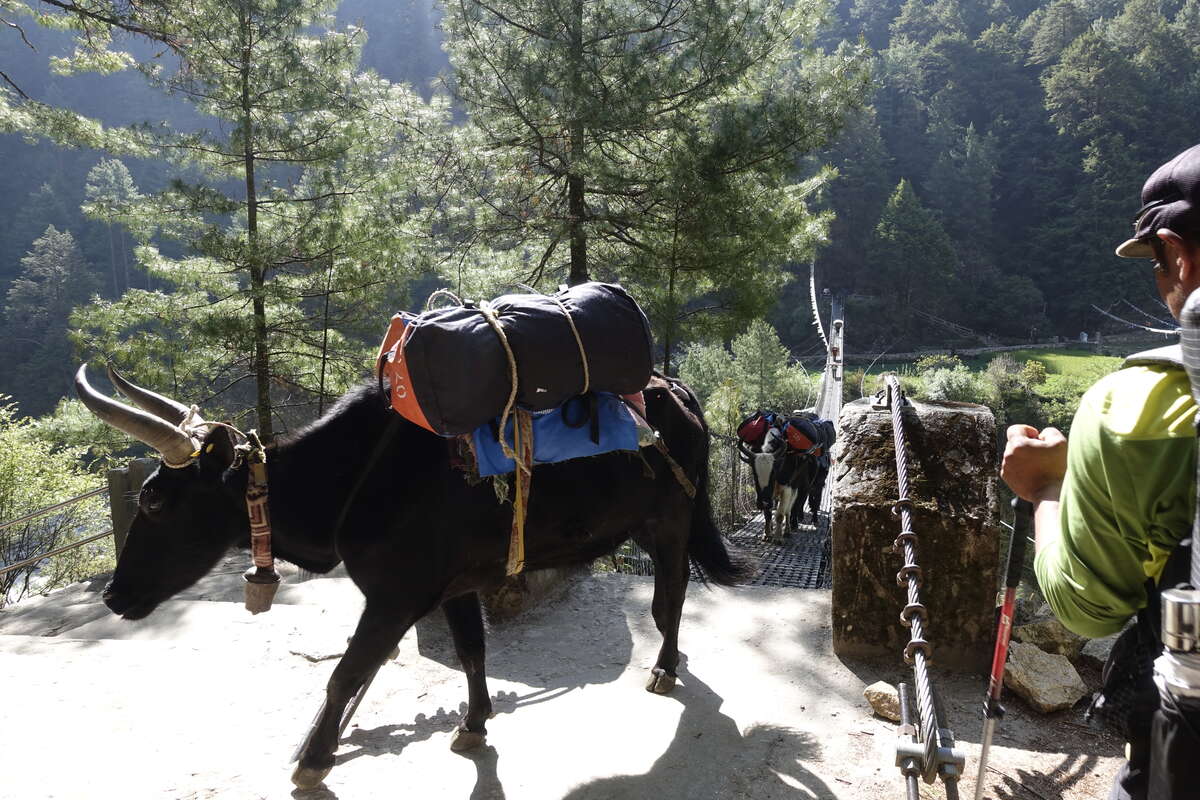
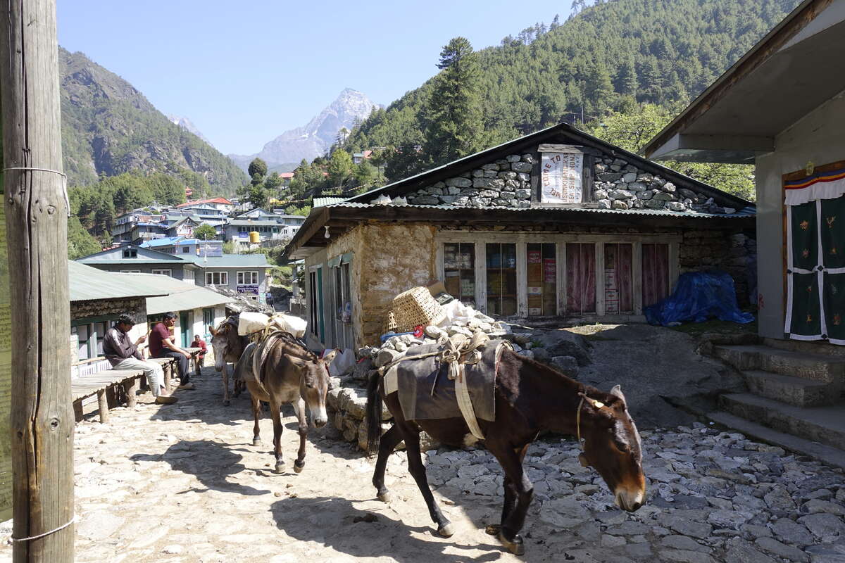
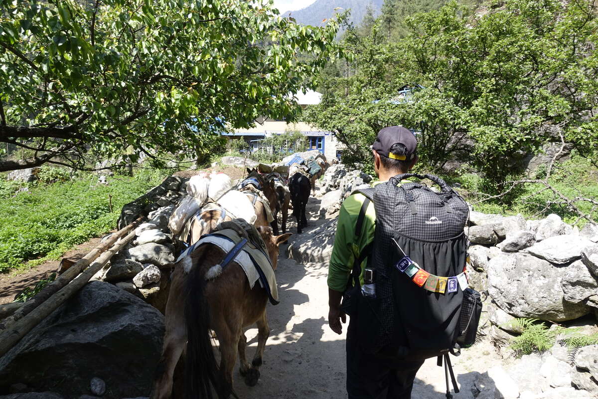
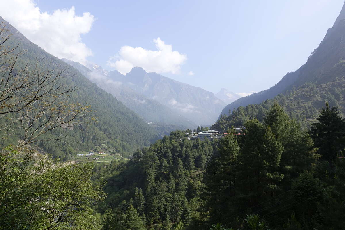
Our program has a single day to walk from Namche to Lukla but we have a spare so decide to split it in two. The trail continues mostly on well paved track, with a steep descent to start, winding down until we are close to the river. We cross the Hilary suspension bridge, which is fairly long but fundamentally the same as any other suspension bridge. The river is growing in size, swelling with many side streams as we drop further from the mountains. The valley is forested, pines growing tall over our heads. The snowy mountains recede. I catch a final glimpse of Everest through the trees. The trail follows the valley side, sometimes right by the water’s edge, sometimes high above it. We cross and re-cross on bridges. Yak and donkeys are carrying loads up and returning light. We find ourselves amidst one train while it’s trying to pass another, and some cows are being herded in down some side steps, the larger jabbing at the little one with its horns to say make way. Porters plod through uncaring, trekkers follow nervously, I keep a careful watch on my feet amongst the many hooves, get buffeted by some full loads, dodge around the occasional horn. The trail is getting busy! Everyone follows this route. 3 passes, EBC, whatever individual route you're making, they all come together between Namche and Lukla. We make it to Phakding for lunch then have another leisurely afternoon. No point in rushing. I have a headache because I stupidly tried to run up some steps (because Som was showing off and I wanted to show that I could too), managed it fine, but then felt a bit like dying at the top. Won't be doing that again. An increasing number of people can be seen jogging around, getting in training and acclimatisation for the Everest marathon which begins next week, the route returning back all the way from Base Camp to Namche. The low mountain birds are back, and I hear a regular KE-BrEEhou (keep breathing) from high in the trees. Good advice.
Day 23: Phakding to Lukla (2840m)
7km
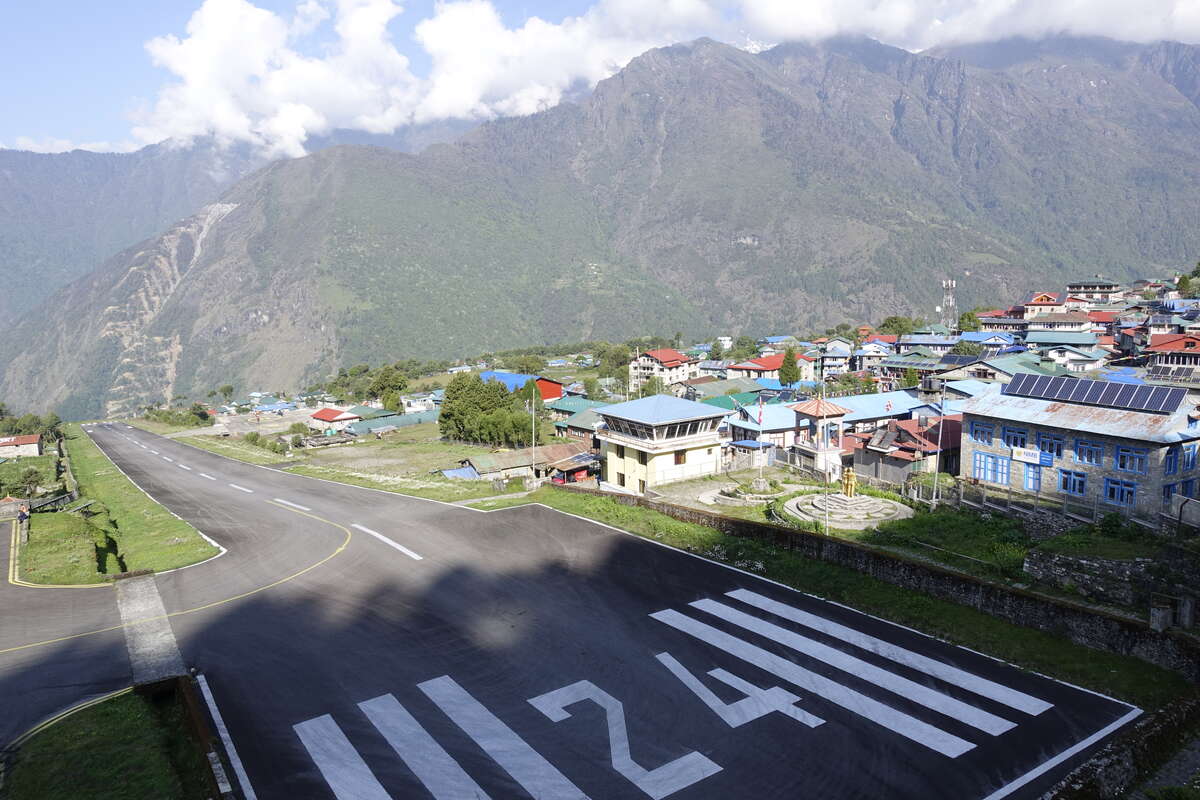
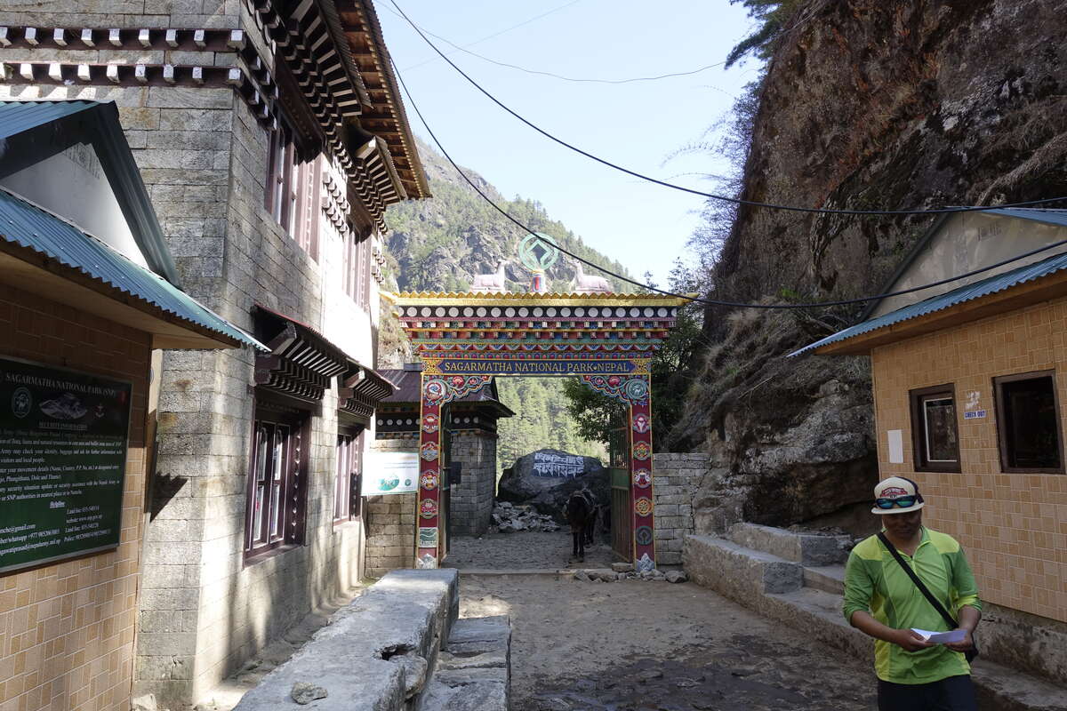
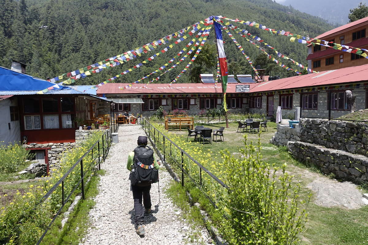
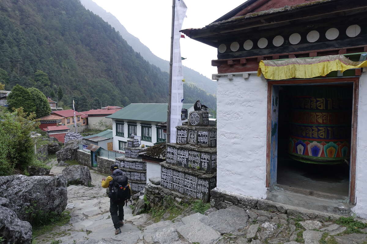
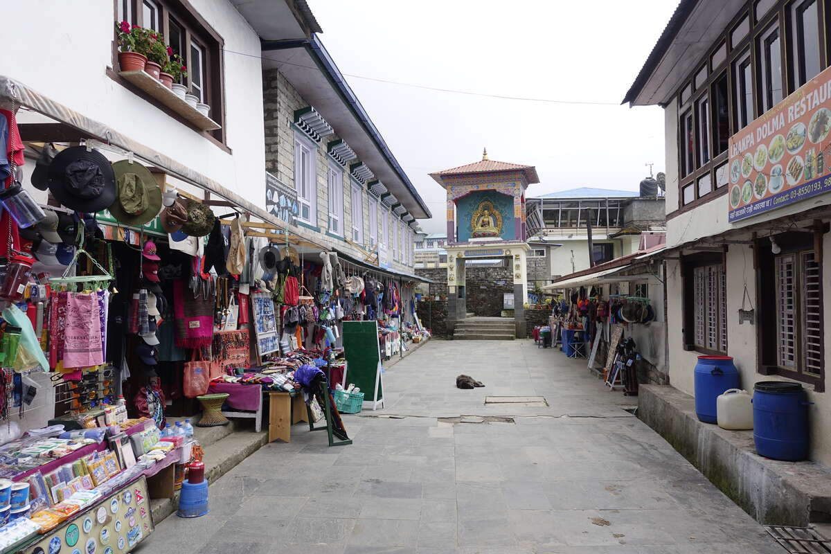
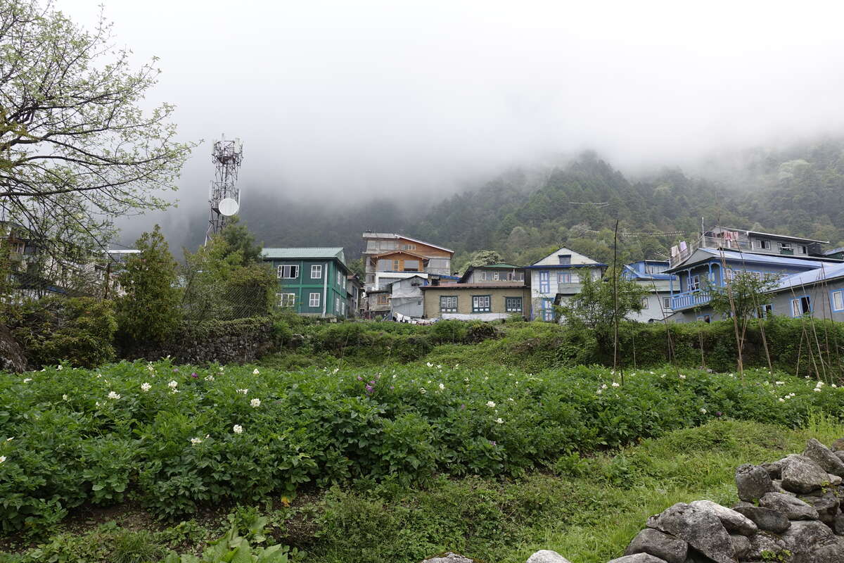
Our final day. Its only 2hrs walk and more well maintained trail, but overall uphill and a fair amount of down and back up within that. A variety of dogs accompany us most of the way, dropping in and out at territorial boundaries or just when they get bored of us doing our best to ignore them. Birds with long black and white striped tails jump between branches above. We reach Lukla for 9:30, just as it is being enveloped by cloud. A few last helicopters are racing to land and leave again. This is a big place. I break out of my noodles and potatoes pattern and have pizza for lunch which is decent if a bit oily. I think good quality pizza is probably the food I miss most. It is almost the end of the trip and increasingly my thoughts are turning towards home. After lunch I go exploring and find that Lukla is not that big after all and we've pretty much walked through all of it already. I wander the back streets accompanied by a friendly street dog who is probably hoping to be fed in return for his guiding services. Sorry. I find a village of prayer walls and potatoes hidden behind the souvenir shop fronts. Also a fairly tiny airport with a sloping runway that ends in a cliff. I'll worry about that one tomorrow.
Day 24: Lukla to Kathmandu
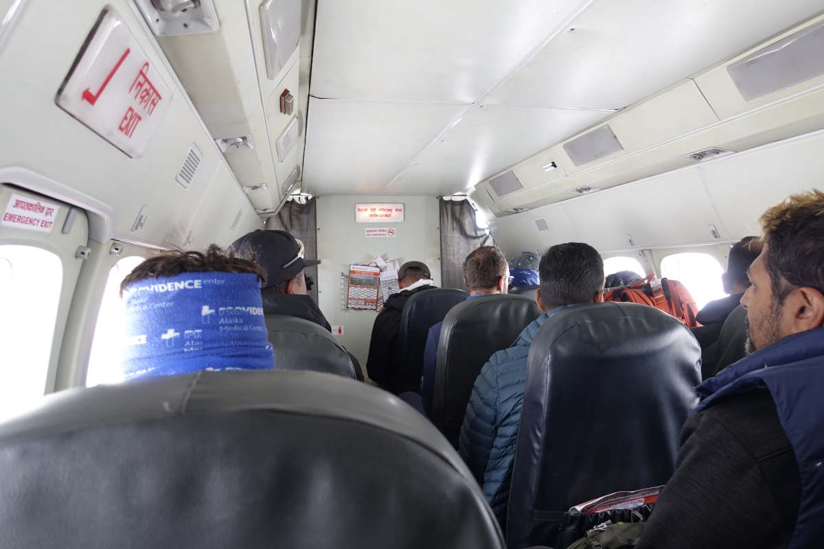
I have a flight booking that says 07:00 so we have breakfast at 7am, then walk to a view of the runway and sit in the sun for several hours watching very few planes come and go. Apparently it is raining in Kathmandu. There are a number of other trekkers and guides doing the same and I meet Sudeep again (who was guiding Chris up Mera Peak and has now just finished a Gokyo lake trek with Sophie - shows how long I've been out!). Apparently Chris didn't make the summit due to altitude sickness at about 6000m, and that's despite the diamox. I will remain forever glad that I decided to do Manaslu Circuit first! Then there's a mad scramble for the airport and a security check that consists of being asked what is in my bag. Then we sit in the departure lounge for another few hours. A plane that may at some point be ours arrives but apparently the pilot would rather go to Ramechep (it’s still raining in Kathmandu) so he might come back for us later. This is surreal. Eventually he does, except that it is now 11am and the clouds are gathering quickly. The plane lands, we all leap to our feet, then they announce that it’s too cloudy and the airport is now closed. Sit back down again. 30minutes later there is a chink in the clouds and we are bundled into the plane at top speed and off we go. We trundle to the top of the runway, rev up the engines and go bouncing down the hill as fast as possible. It’s a distinctly unsettling sensation. We do of course manage to take off just before the cliff and then endure the most turbulence filled flight I can remember. I have just enough time to deeply regret the snacks I ate when the airport closed and prepare to make their acquaintance again when we are spat back out of the clouds and bump back onto the land in Kathmandu. The end.