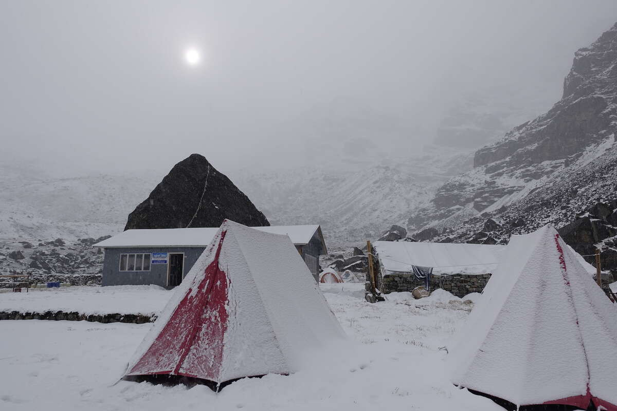
Day 1: Kathmandu to Paiya (2730m)
6km and a flight
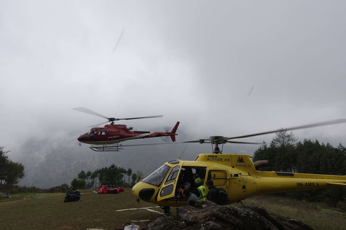
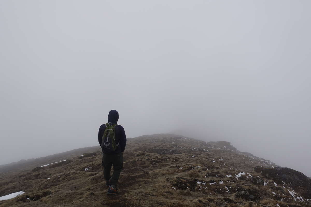
Plan A is to drive to Phaplu but the road was washed out in a landslide yesterday and will be closed all week. Plan B is to take a flight to Lukla then a Jeep but the clouds are low and no planes are flying to Lukla today, or yesterday, or possibly any day this week if the weather continues as forecast. Plan C is to take a helicopter to Lukla and this plan we set out on, because the cloud may or may not be high enough by the time we get there to allow us to land. That's fine by me, helicopter rides are fun, and for this one I even get a front seat! We sit around on the tarmac for a while waiting for permission to take off then yes, there is apparently a break in the cloud and we can go. It's a hazy day and we fly along valleys just under the clouds winding our way slowly higher and higher. Then at the last minute cloud blocks our path and so Plan D lands us rather spontaneously at Chaurikharka. This is apparently about not far from Lukla but not accessible by road so from here we walk. We set off in the opposite direction to everyone else (after all we weren’t actually trying to get to Lukla at all) and make our way into the village to try and get a bite of lunch. But this being very much off the beaten track there is nowhere serving food. We manage tea and biscuits and I attempt to take a toilet break except that the woman leads me round the back of the house and points down a narrow side path. I try a promising looking door but find myself in a hay store. It does have a number of sizeable gaps between the planks in the floor but there is no sign or smell to mark these as toilets. The woman has disappeared and further exploration down the path leads only to the back of another house. I really need a wee but not quite badly enough to risk accidentally peeing in someone's hay store. And of course I'm too embarased to go back and ask for clarification. So I just add to the problem by drinking two cups of tea instead. Getting going we walk steeply downhill to where there is a more touristy village on the road. Lunch is sourced and equally importantly an actual and definite toilet. Back on the trail and much more comfortable we meet Syla, our porter. He's already started from Lukla and caught up with us via going to Chaurikharka to pick up the bag. It weighed in at the airport at 19kg and I was intending to take quite a bit of that weight (a few kg of which I hasten to add is not mine) into my own bag it before anyone actually carried it anywhere but he seems happy enough with the load. We've now got a steep uphill climb back to about the same height as we started. The trail is quiet and we rise up through low woodland, rhododendron and bamboo to regain the cloud line. The view is shrouded but tree covered low ridges come and go through a soft blanket of grey. A spot of drizzle falls but mostly it is dry and cool and pretty much perfect weather for hiking. Much better than the heat of Manaslu! We walk fairly continuously and in a few hours come to Paiya where we will spend the night. We are the only guests. The cloud fills in gently around us and down falls the soft patter of rain.
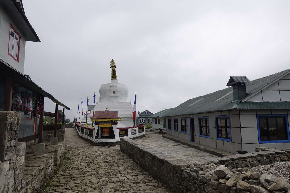
Day 2: Paiya to Panggom (2804m)
10km
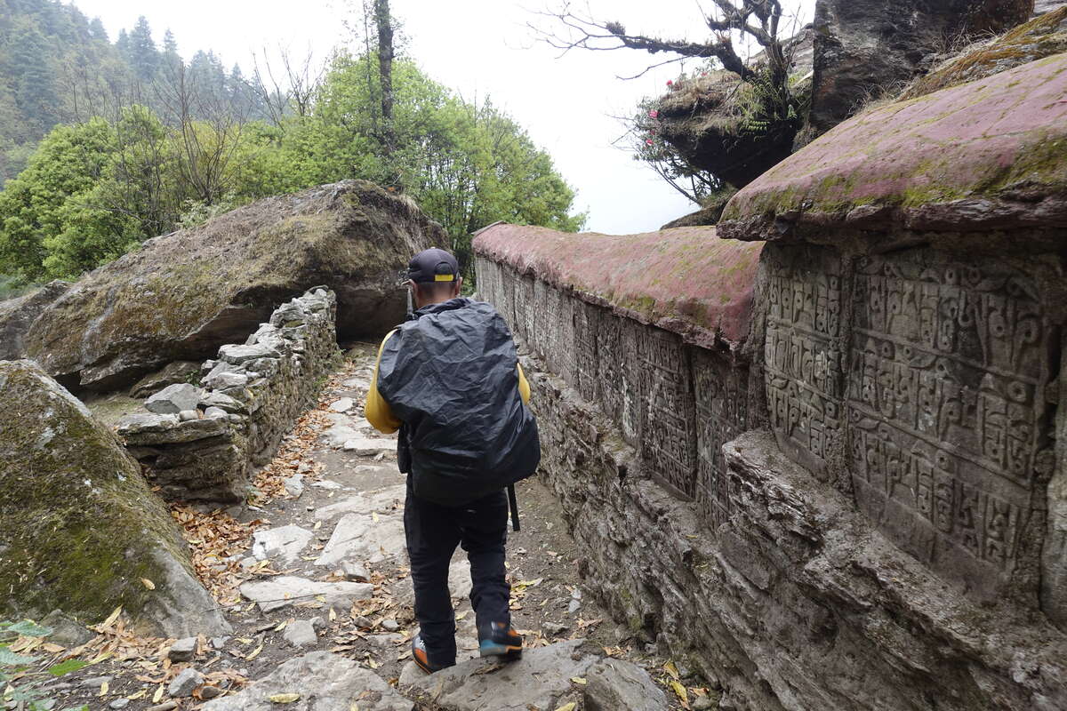
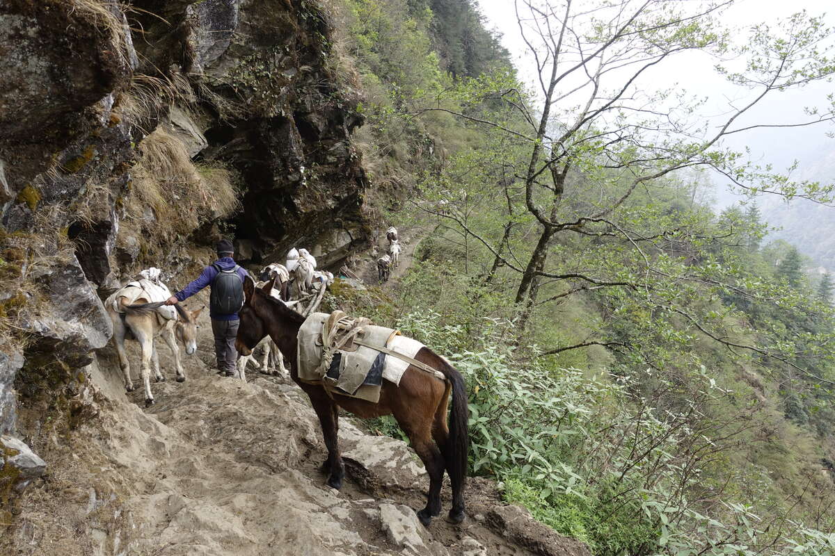
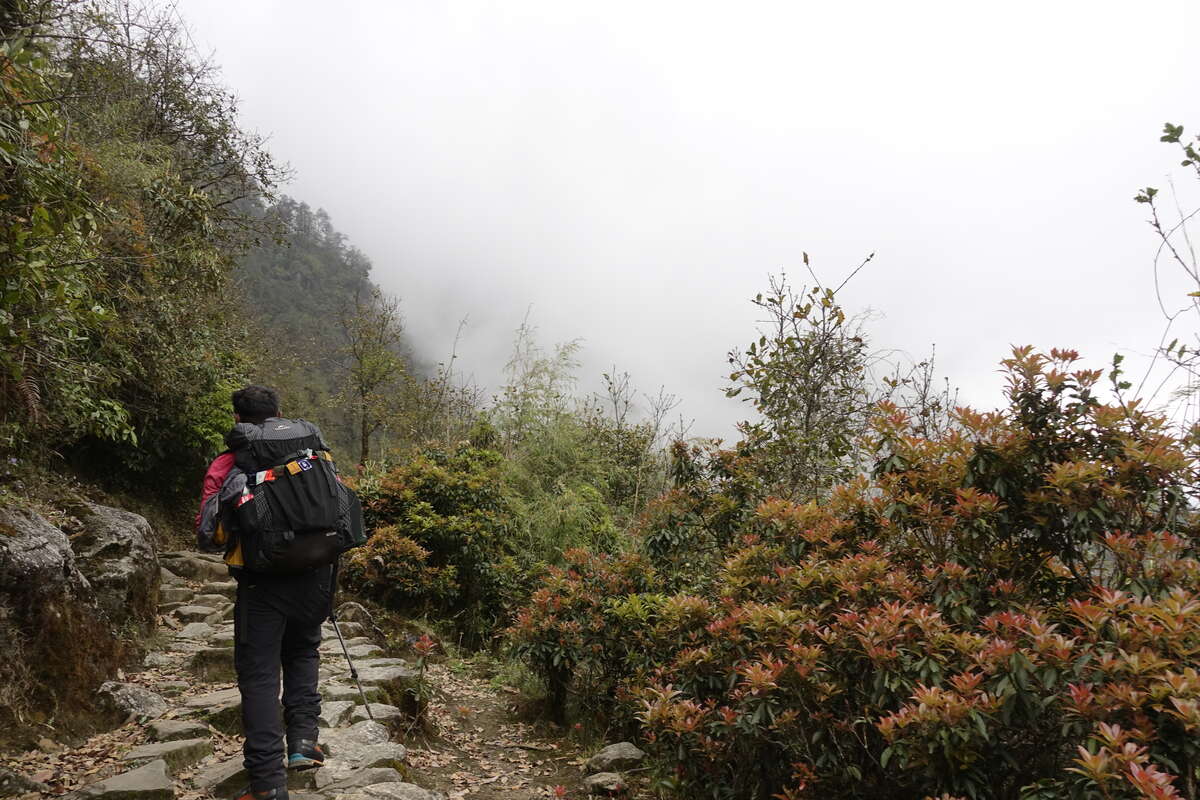
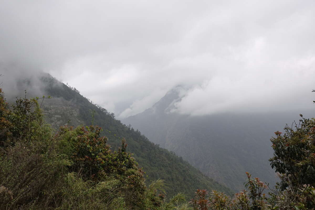
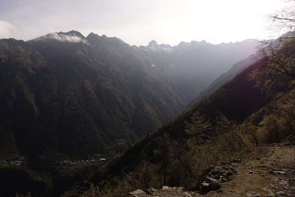
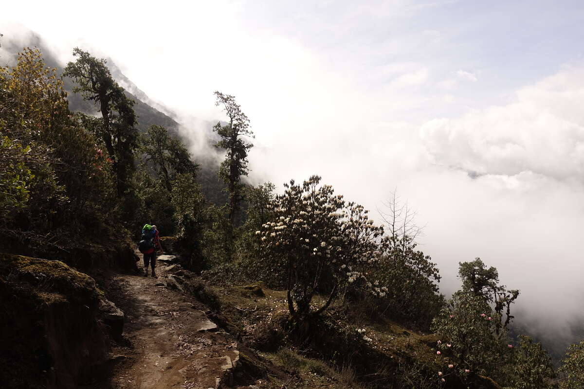
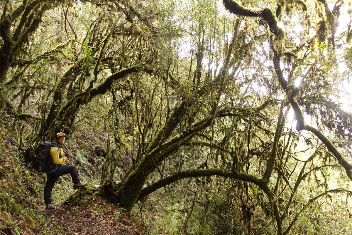
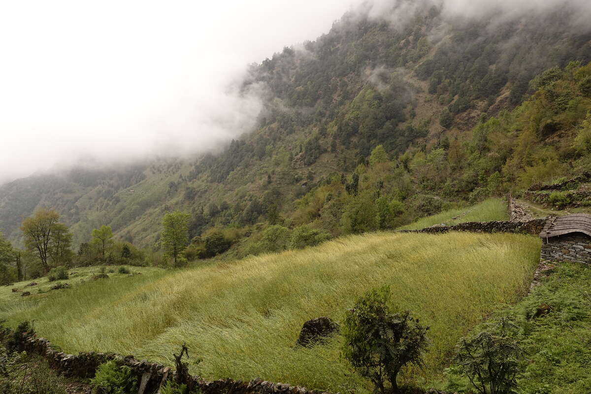
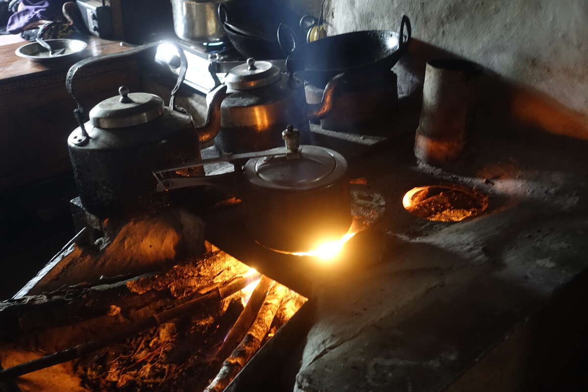
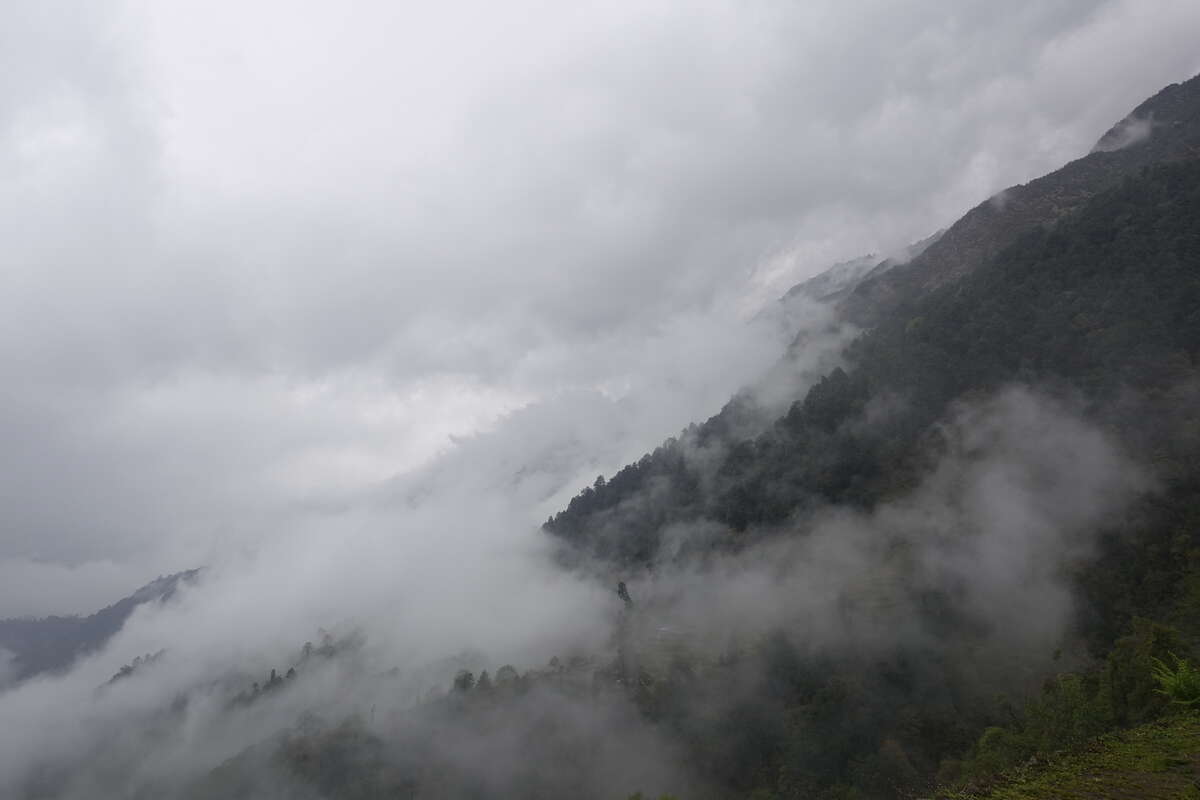
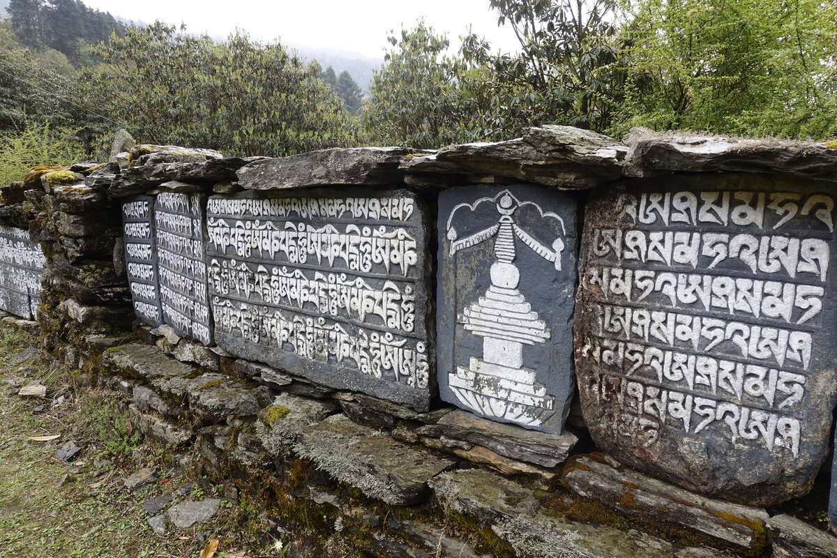
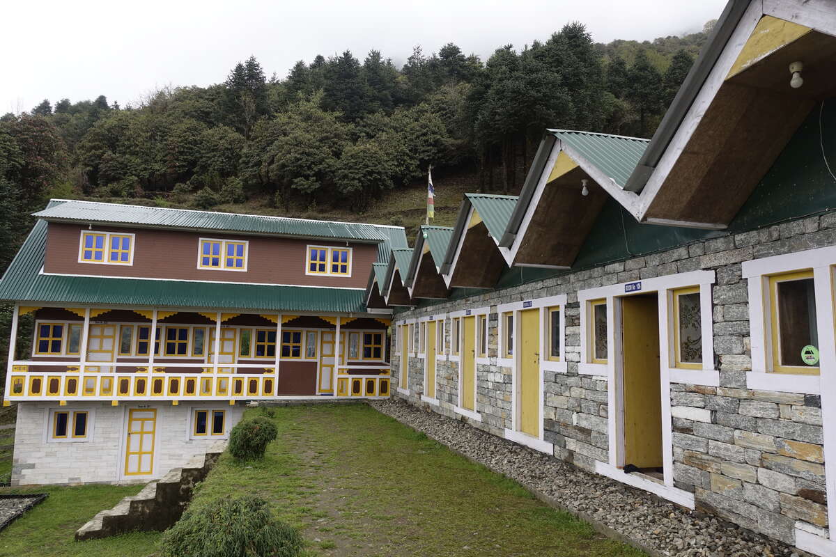
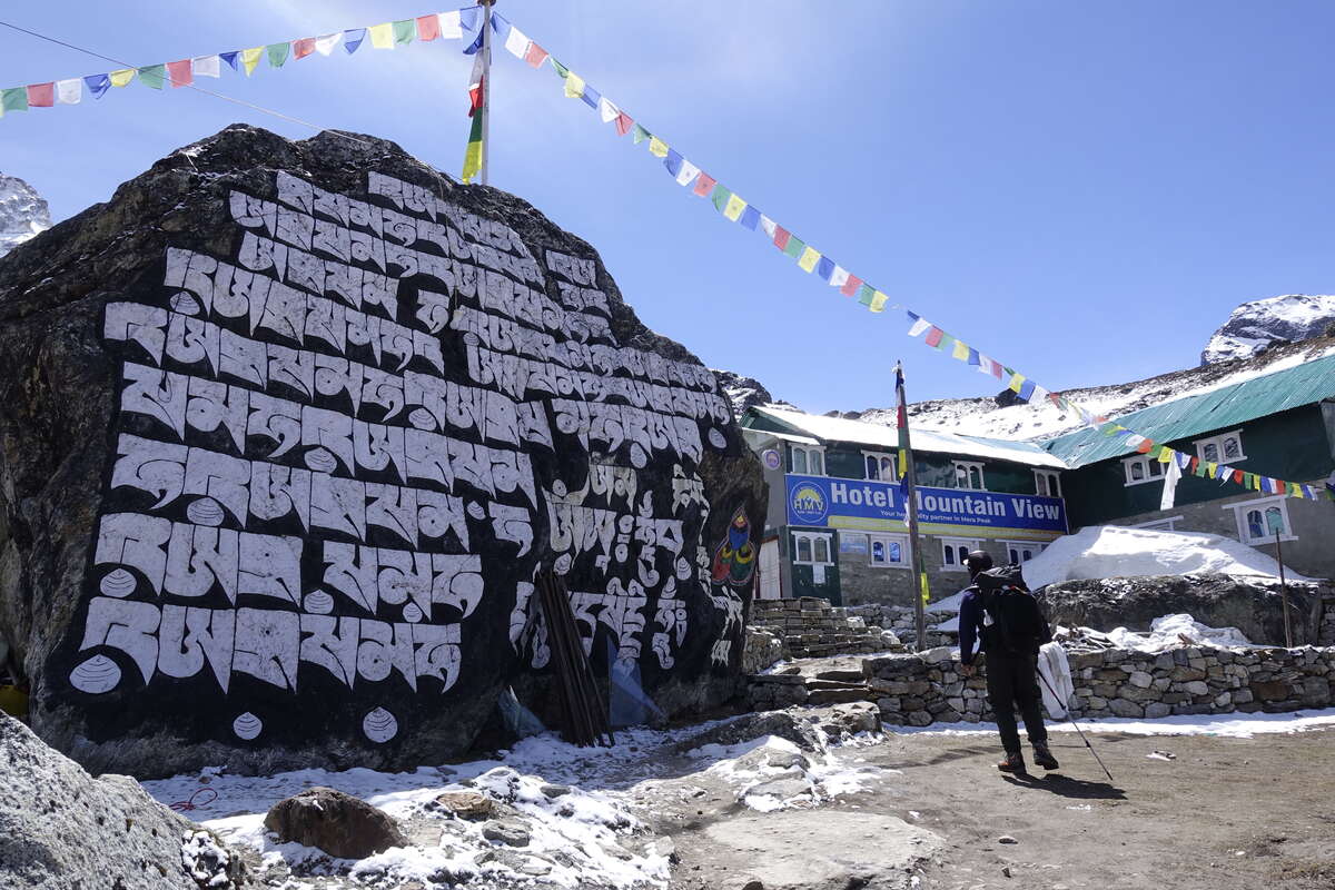
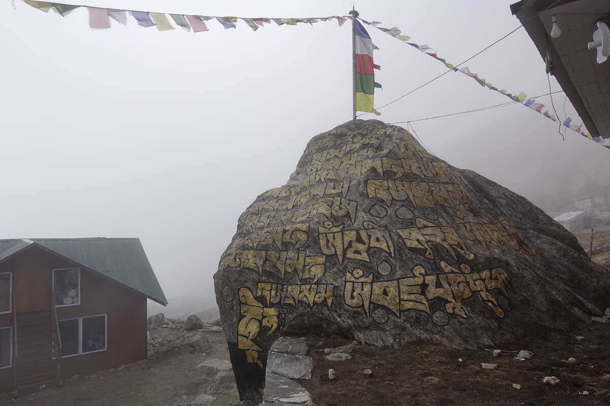
It rains all night with flashes of lightning illuminating my room followed short seconds later by thunder which makes the walls vibrate. Poking my head out in the morning it’s dry, with blue skies above but already a thick fluff of white clouds obscuring the summits. We take breakfast and set out on a trail which, once again, we have pretty much to ourselves. The path takes a high traverse, quite different to the river route we followed for Manaslu. We climb steeply up a great number of stone steps, occasionally crossing the road which must take a much slower zigzag. I take the lead at a steady pace and don't stop until we reach the crest of the ridge. It feels good to walk at my own pace and not have to wait for others. From our high point we can see across to Pangom, our ending point for the day, which if we had wings would be very close already. As it is we must take the slow way, twisting up down and around across thickly forested hillside. Already the cloud is building. A frantic stream of helicopters and a few planes traverse the valley, trying to clear a backlog of three days of tourists before the cloud descends again. Their engines are an odd intrusion into a world where the only other sounds are the tread of our feet, a whisper of wind and the singing of birds. We descend again, the forest thick and beautiful around us. Many of the trees are strange to me but some resemble oak and there are many rhododendron, all thickly coated with mosses and ferns. We dip in and out of the clouds. Occasionally we pass great prayer stones where large characters have been carved into huge boulders or outcrops of rock, the letters painted white and the rock a grey-black. We take lunch in what feels more like someone's home than a teahouse. Certainly there is no menu and we sit next to the stove and watch the dal bhat cook. It takes around one hour, but much less time to eat it. This woman's husband is also a guide and is currently away on an Everest expedition. He has summited three times before and the photographs take pride of place on the wall behind my seat. Carrying on it’s only an hour or so left to Panggom. We climb again, though not as steeply as before. The gaps between the stone steps are filled with wild strawberries though they are in flower and not yet fruit. Rain threatens, but only a light pattering actually falls, and there is a rumble of distant thunder. The start of the rainy season says Som. I hope not! There should be another month of dry prime trekking weather to come and we have a long journey still ahead. Panggom is reached early in the afternoon and with it comes a splash of sunshine which inspires me to take a shower. The water is stone cold but the sun on the metal roof makes the little room quite warm and it’s all very bearable. Unfortunately that's the last of the sun for the day. I sit in the doorway of my room and watch clouds move across the hills and rain fall. Higher up there is a fresh coating of snow. After a while I retreat to the warmth of the dining room where the fire is just being started. I'm now back on my original programme and there are two other trekkers here - James who is part of a group of 8 but a day behind due to illness, and Bari. We are all bound for Mera Peak.

Day 3: Panggom to Ramailo Danda (3276m)
6km
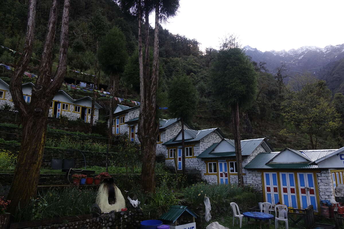
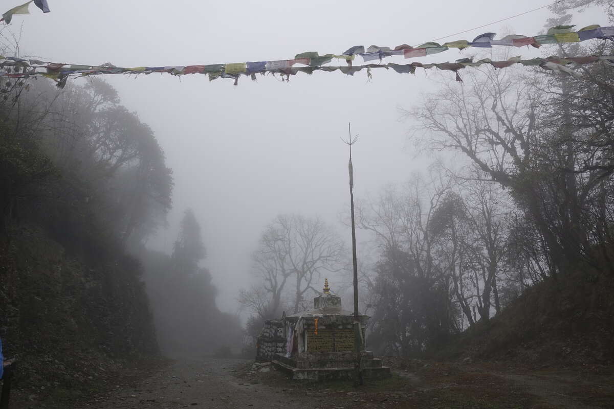
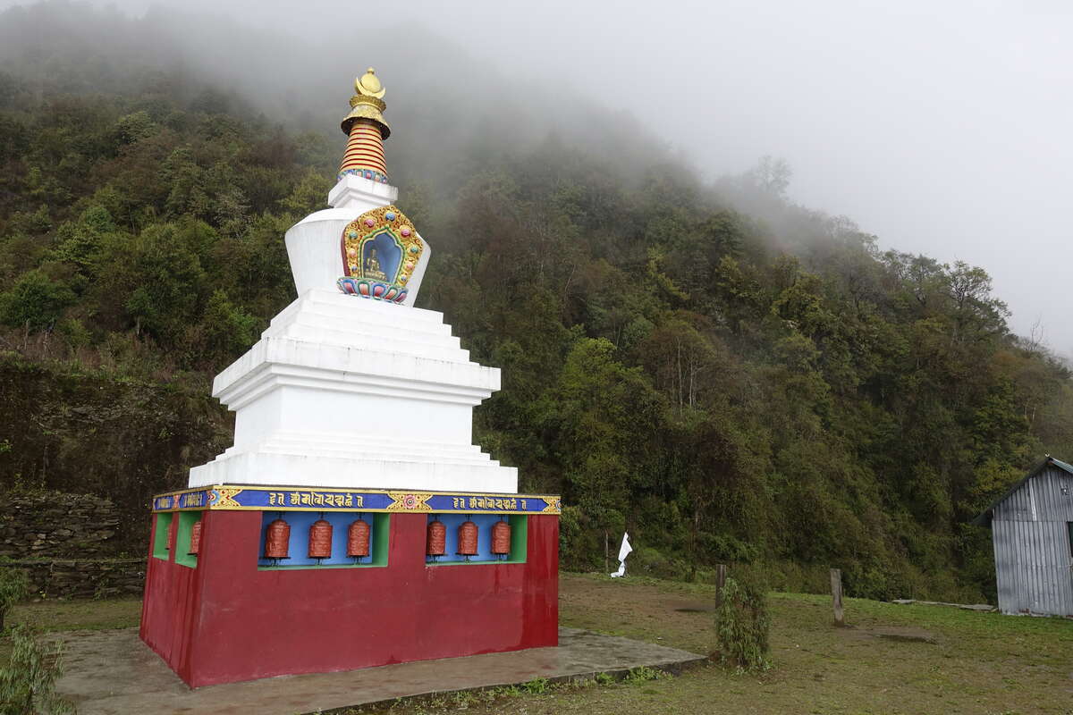
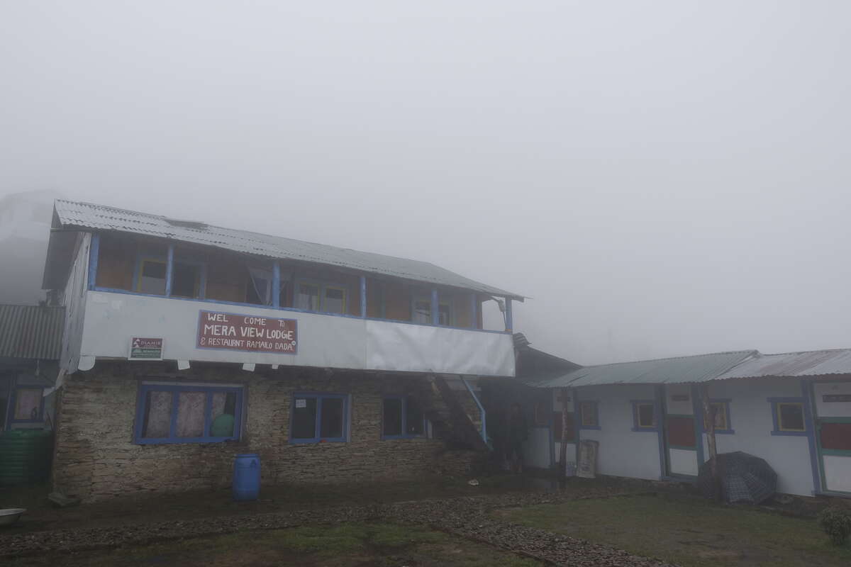
James is feeling unwell again this morning so hopes of catching up with his group are gone and he is heading back to Kathmandu. It’s definitely a big advantage of travelling solo that itineraries can be adapted, though also a reminder that when you're expecting to push yourself to your limits the margins are small. There is no room for illness on these trails. We set off into a grey and overcast day, then after 100m enter the cloud and after 200m down comes the rain. It feels very much like home, but not really what I was after for this trek. At the moment we are still low down and it doesn't really matter all that much, but I make sure to walk the correct way round all the prayer stones and turn the wheels and hope for better weather to come. In the absence of a big mountain view focus shifts closer. We continue mostly through a forest increasingly dominated by rhododendron. The sides of the trail are carpeted with small flowers - wild strawberry, purple violets and other pinks and blues that I can't name. An initial climb leads to a road and then a long traverse - "Nepali flat" i.e. probably flat on average because there is enough down to balance the up. We stop a while at a small Buddhist stupa where the clouds look like they might clear but then more drift in. If there was a view we would be able to see Som's home village. Imagination will have to suffice. Not much further until our lunch stop though it's still early in the day. I enjoy a Sherpa stew (fat sheet noodles, potato and veg in a thick broth) which is excellent and, while not quite filling enough for dinner, is perfect for lunch. It warms me up too which is handy as under thick cloud the day is cool. Som mentions that if this weather keeps up then in about 15 days we might start to see leaches. Wonderful. Onwards, it is a steep climb up to Ramailo Danda meaning "wonderful view" from which we will just have to imagine Mera Peak standing tall above us - it's there somewhere, on the other side of a lot of cloud. It's 13:15 and we're done for the day. Turns out Himalayan trekking/acclimatisation comes with a lot of sitting around. I sit in very slightly damp clothes to dry them with the heat of my body (because I don't fancy putting them on slightly damp + freezing cold in the morning) then change into lots of comfy warm stuff including the first outing of the thermal overtrousers. They are beautifully toasty. Once I smell a wiff of woodsmoke I move over into the common room. It’s just my crew (Som/Syla) and Bari + Ramis here tonight. We watch the clouds and the rain and twice rush outside for a brief parting of the clouds. No Mera Peak but we can see across to the snow. There are many small birds - neatly coloured finches with orange caps and a bright white rump fly between the bamboos, a small seemingly tailless brown bird creeps and flutters through the log piles and two larger ones with long black and white spotted tails jump and forage along the path. I listen to more audio books, eat lots of noodles for dinner and soak up heat. WAFOF (warm and full of food) and time for bed.
Day 4
Ramailo Danda to Chhetra Khola (3122m) 5km
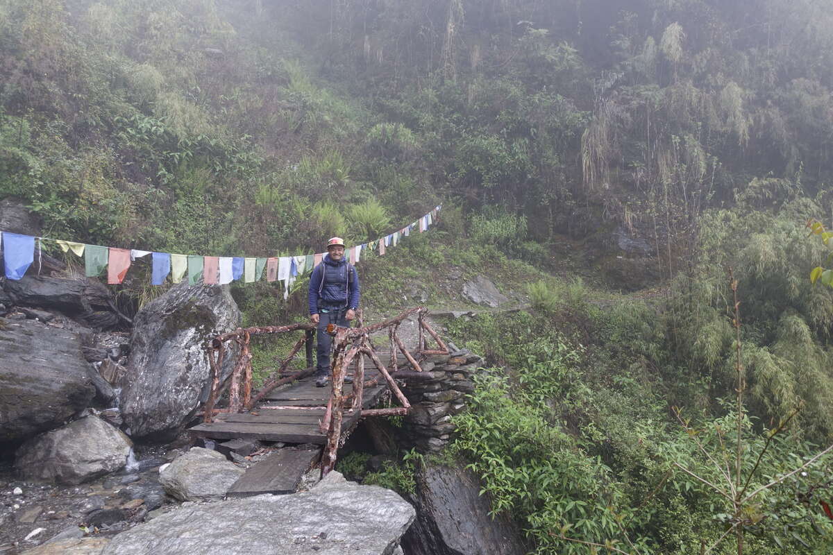
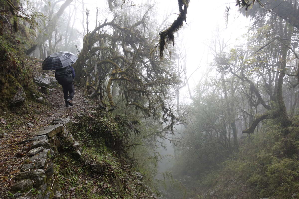
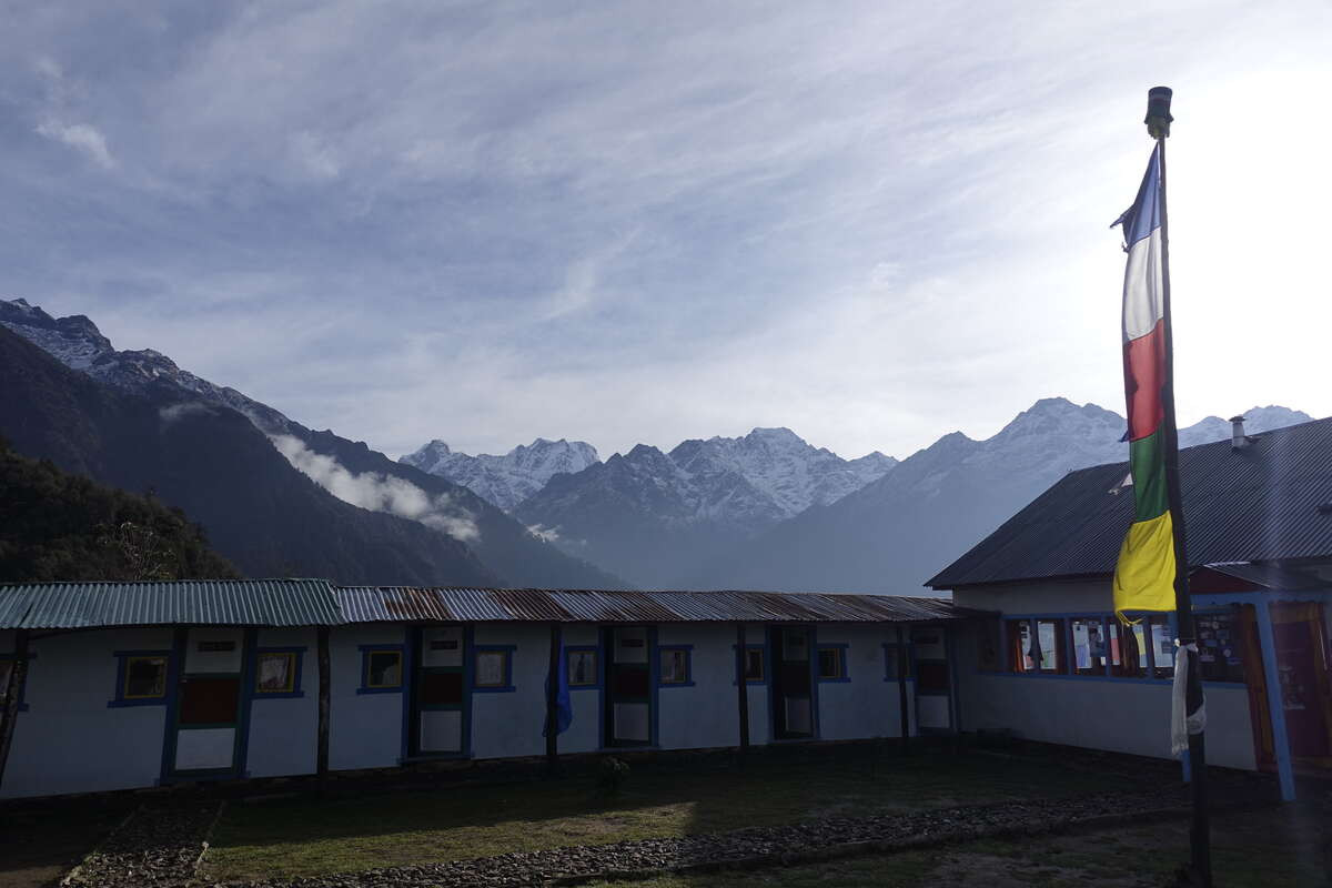
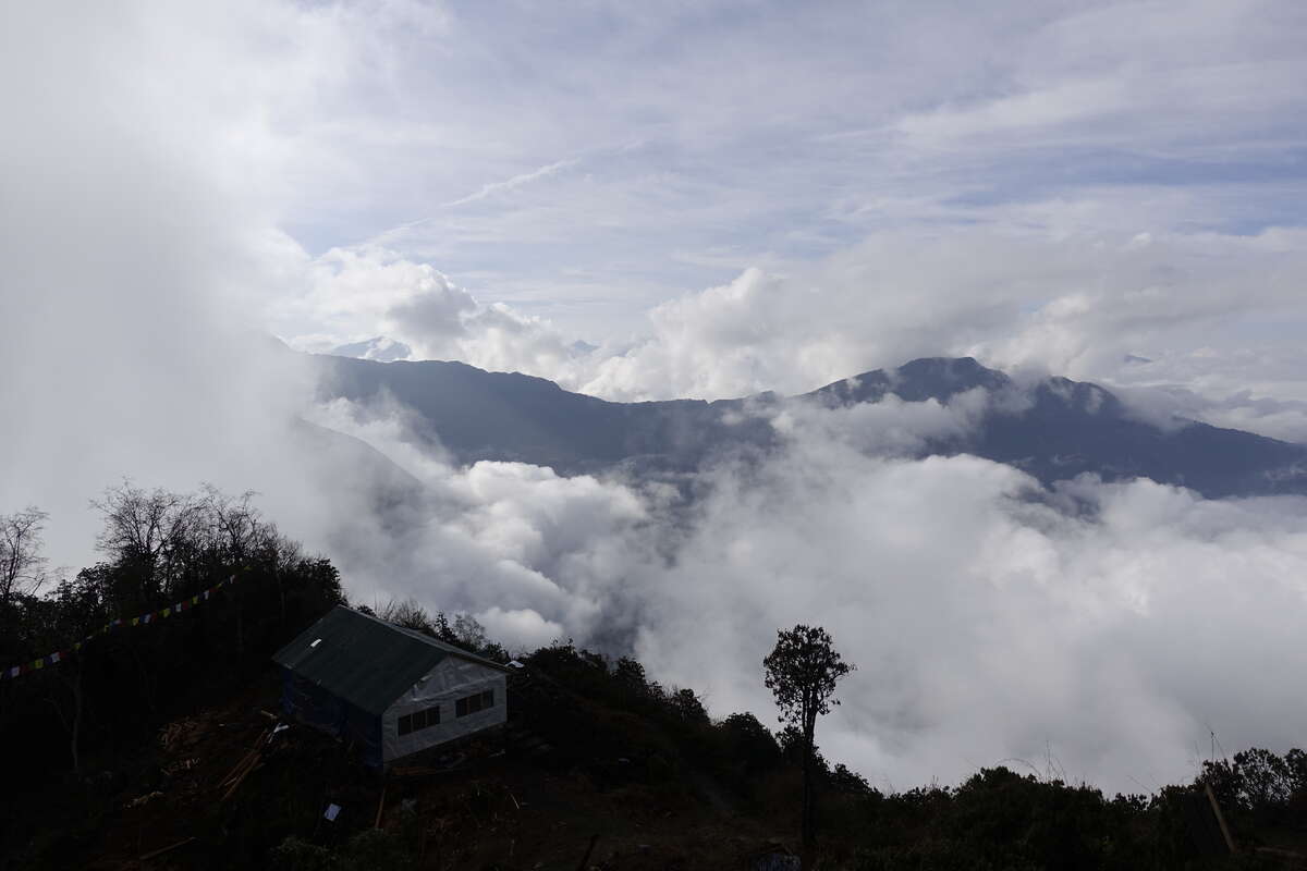
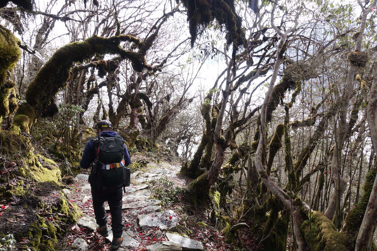
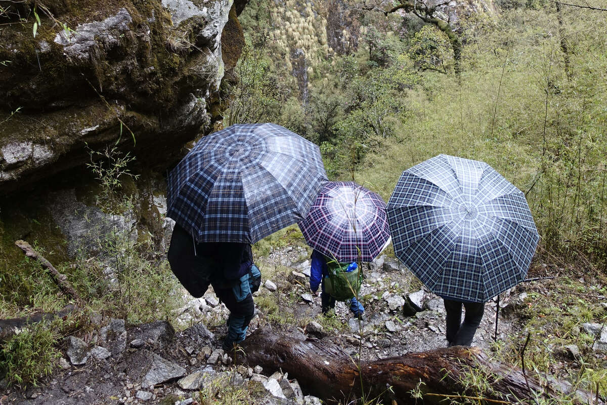
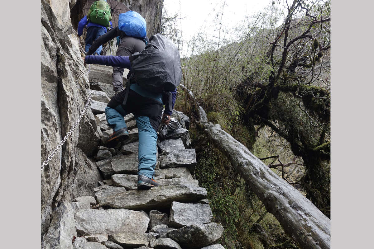
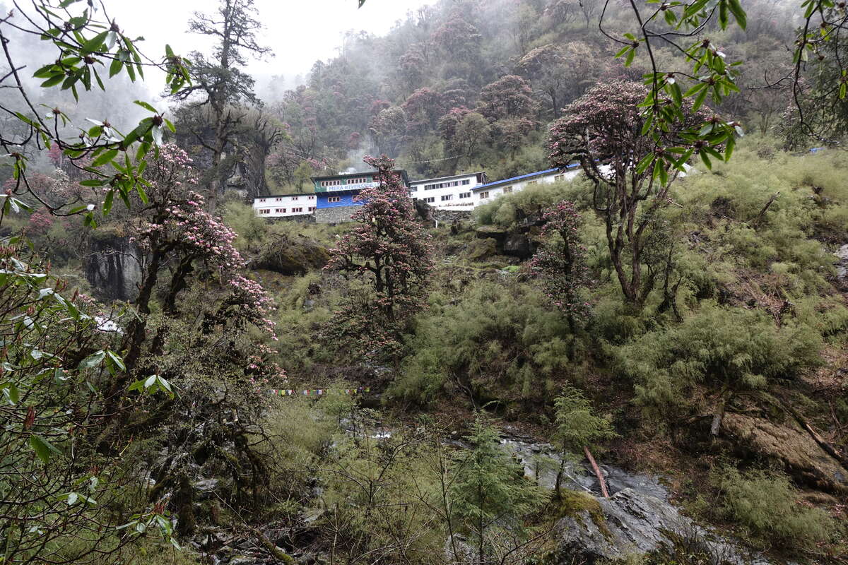
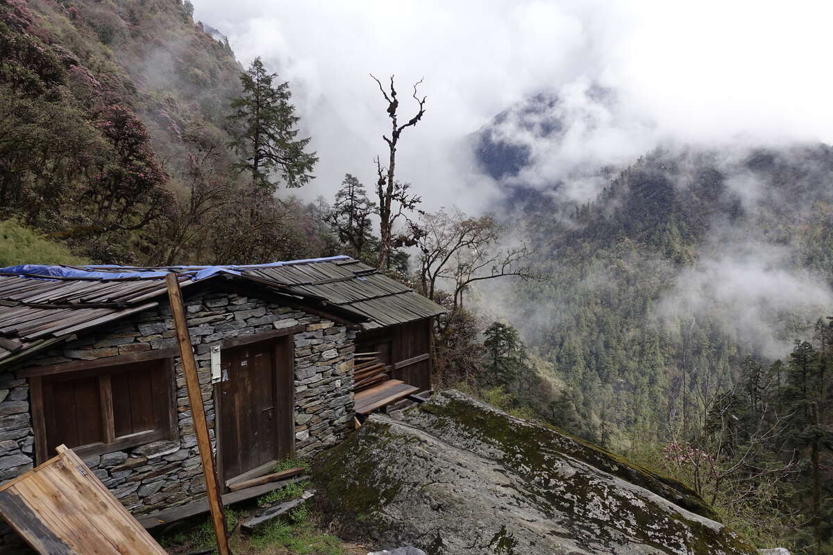
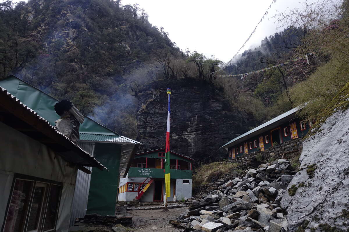
We wake to a view of the mountains and our first glimpse of Mera Peak still high above us despite the altitude we have gained. From this angle it presents an imposing face of steep icy cliffs, though our ascent route from the other side should be much more straightforward. There are already clouds in the valleys and in the time it takes to eat breakfast they swirl in and up and that's the view gone. At least today it is dry (so far). We head on. Yesterday's height must be lost and regained again and the trail drops steeply down a great many stone steps. It’s all forest, and we seem to have left the small farms behind and be heading deeper into the mountains. Rhododendron dominates and there are stands of bamboo. Bird song echoes through the mist, along with a Ouuuuu-WAh which Som and Syla have never heard before. I think it is a bird; Som recons an animal. We trace it to a thick patch of bamboo into which Syla disappears to try and flush it out but the forest is silent. We cross small streams on rickety wooden bridges then up again, the path twists and climbs. Our lunch place is reached at 9:45 so we sit and watch the clouds until a slightly more respectable time for eating is reached. It rains, then it pours. Noodles are eaten, hot drinks consumed, the fire is lit. Still it rains. The next section will be tricky in the wet says Som, if it keeps raining we stay here for the night. But after a few hours it eases somewhat and the cloud rises to show the forested mountainsides around us. Now it’s just drizzling. We go on. Bari and Ramis are with us, they and Som sporting umbrellas which make an excellent job of keeping off vertical rain but seem out of place in this remoteness. The path descends suddenly, down stone steps so steep there is room for only half your foot and hands are totally acceptable. A couple of sections have a chain, though climbing the steps essentially on all fours seems easiest. Straight down, straight up, straight down again. We have reached a place now where there are no bridges and we must scramble through the side streams, swollen from the day’s rain. We reach a closed lodge which has a view back the way we have come. A view that for the last few days has been obscured by cloud. Below us is a river gorge so steep and dark there is no way you could follow it. To the side and slightly above we can see the rooftops of last night’s tea house. To get between them we have traversed what is essentially a forested cliff. The differences between Manaslu circuit, where we could walk along a flattish river valley, and this high traverse are suddenly explained. After an hour or so the trail takes one final steep rise and here is Chhetra Khola, surrounded by blooming rhododendron and pine. This is a trekkers village comprised of two teahouses and a third under construction, but as far as I can see only one local dwelling. There are vegetable plots squeezed into every flattish piece of soil, including the cleft of a boulder which is sprouting two rows of leaks. There is no way a donkey could follow the path and I guess all supplies here must be brought in on the backs of humans. The weather has cleared a little, there is a patch of blue sky and the clouds remain above us rather than around us. Birds with long black and white tails cross the valley. Sit and soak it in. We spend the evening around the fire and are joined by Chris from Canada + Sudeep who had the opposite problem to me in starting the trail (multiple flight cancellations so ended up driving) then has had to pull some pretty big days to catch up with schedule. I think he'll be with us for the next few stages though not sure what everyone's acclimatisation day plans are so now in the evenings we’re a merry band of three. Fingers crossed the weather starts to improve from tomorrow.
Day 5
Chhetra Khola to Kote (3691m) 5km
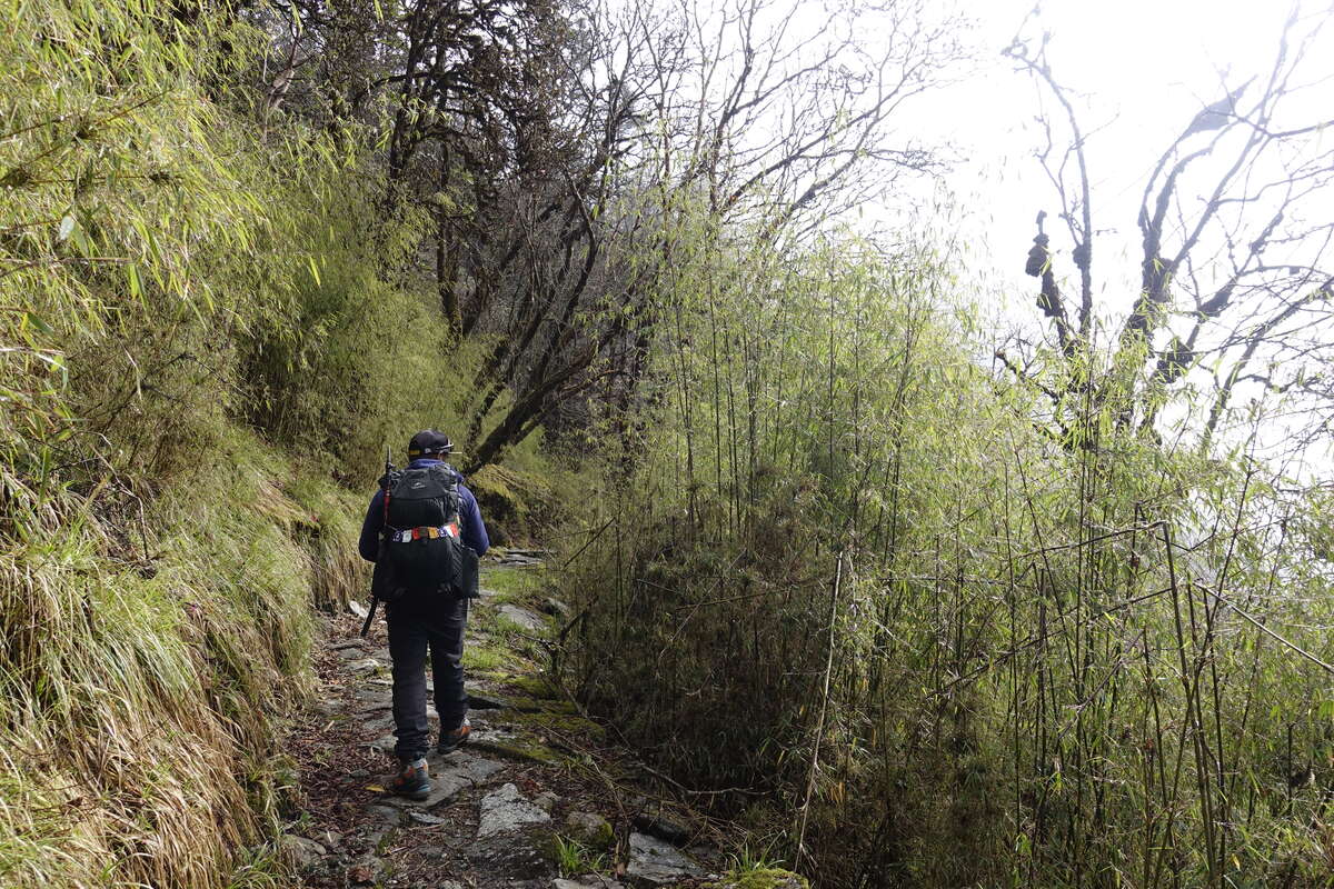
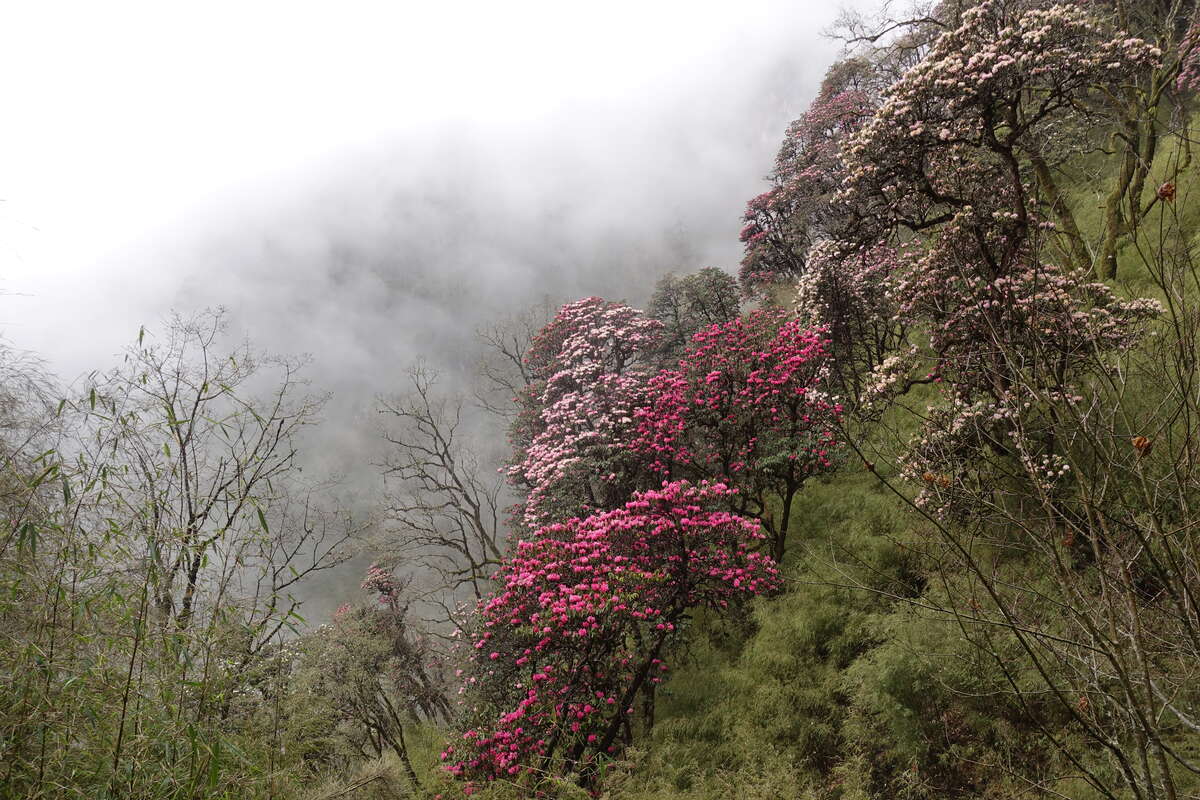
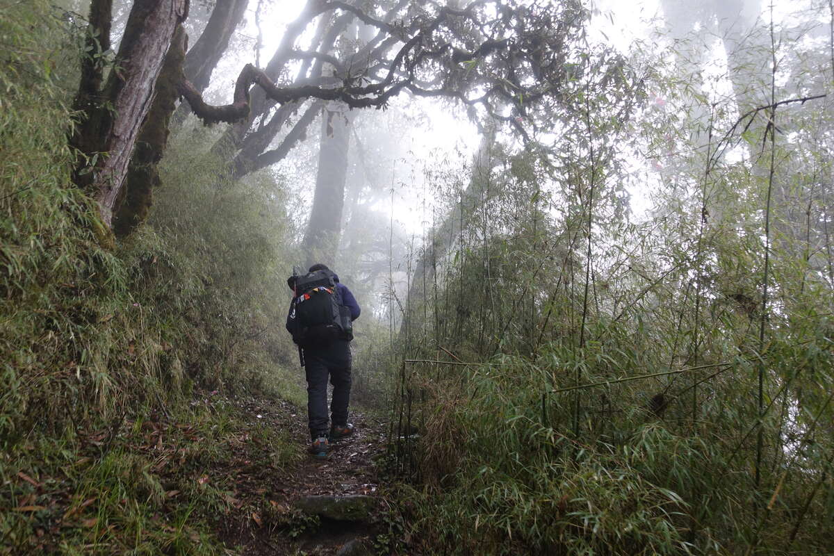
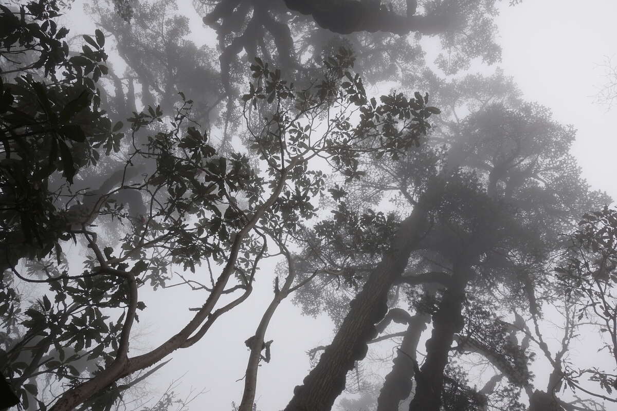
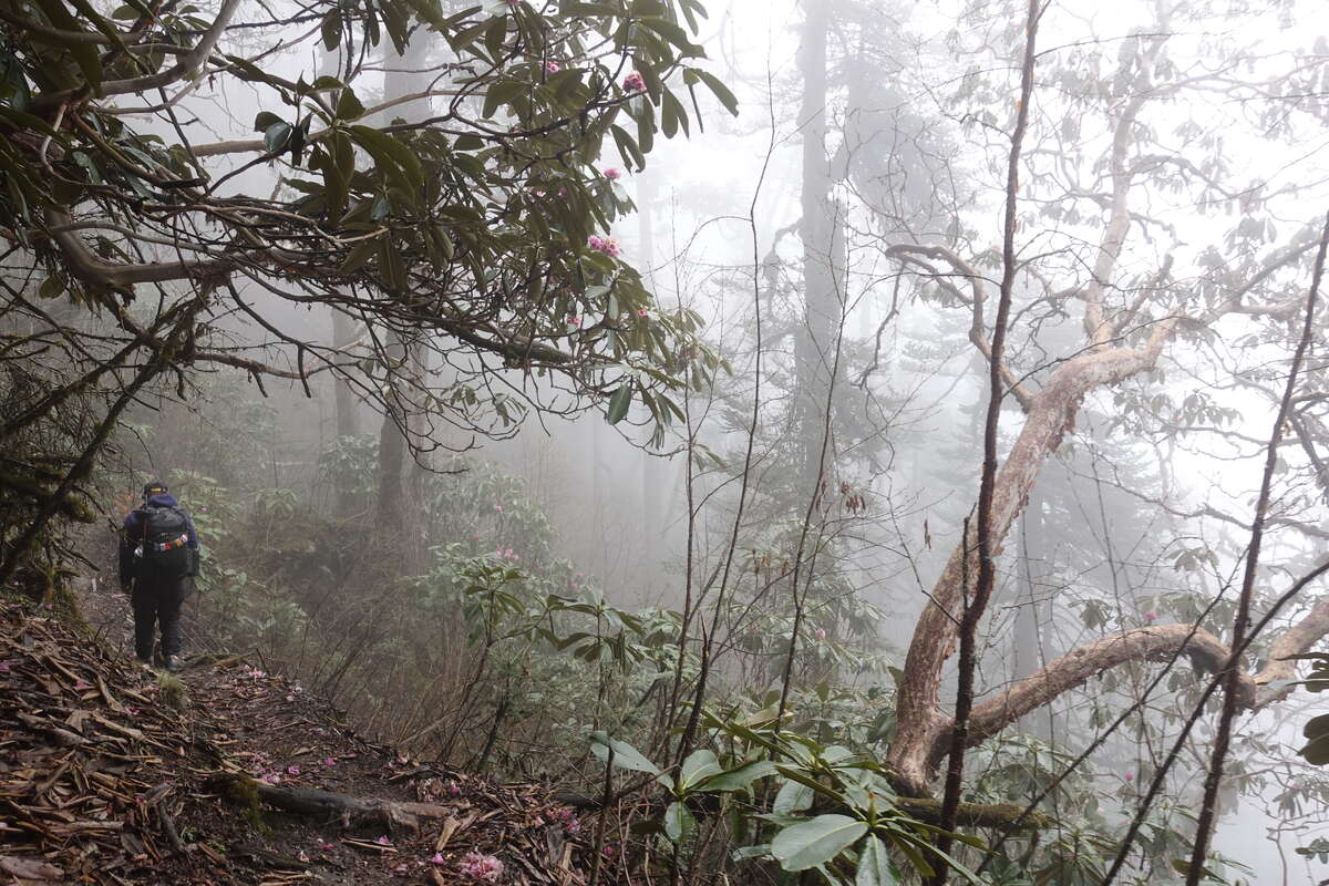
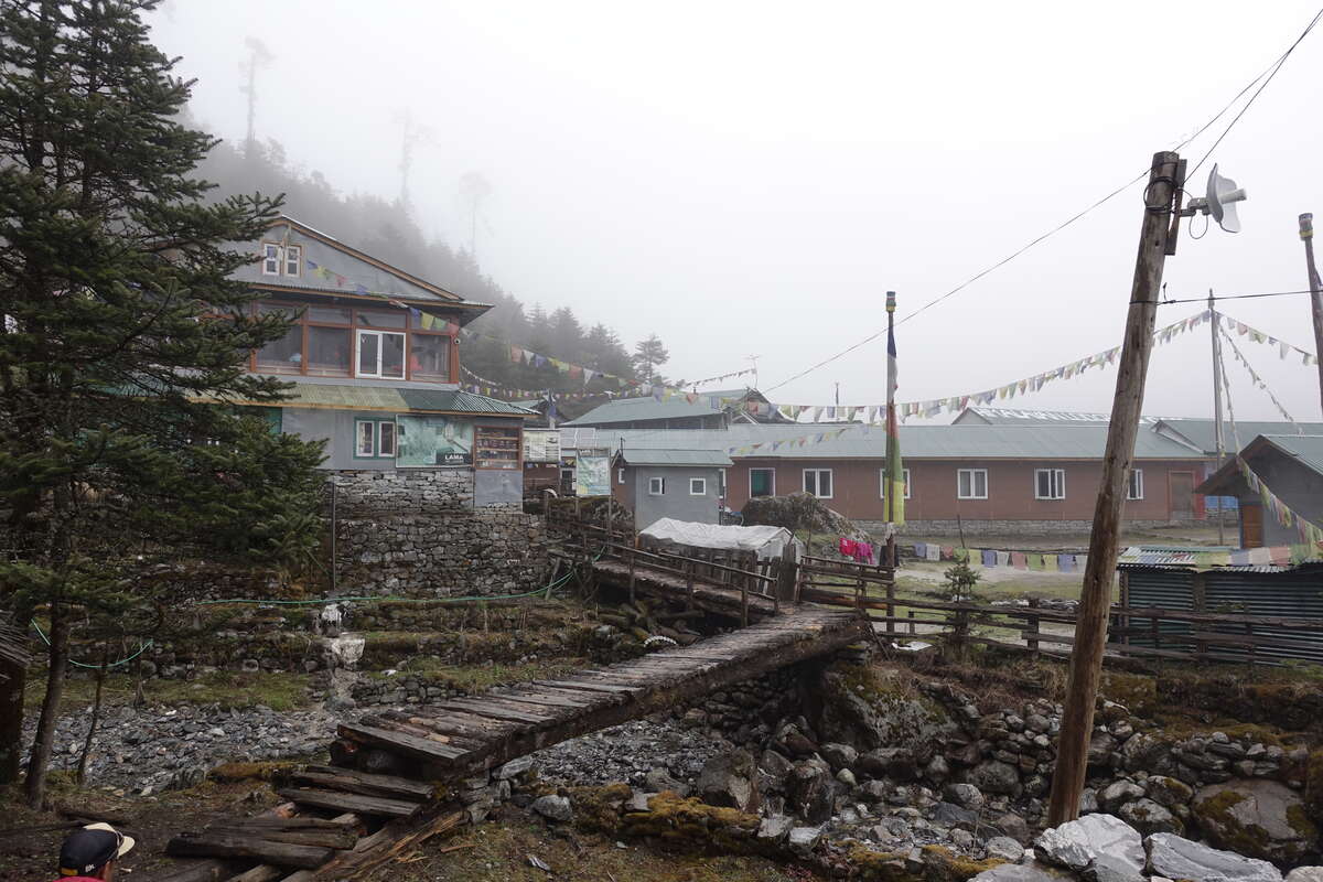
It's raining. The patter of raindrops on the metal roof is a distinct and separate noise over the roar of the river, but the view across to the other side of the valley is clear at least. In the time taken to eat breakfast this reverses. Low cloud rolls in but the rain turns to light drizzle then stops. Heading out the trail climbs steeply through the rhododendrons. The air is still and the cloud thickens gradually, muffling all sound. We pass through many stands of bamboo and then, as we continue to climb, fir trees start to dominate, rising high into the cloud their straight trunks knobbled with great clumps of moss. It feels very much like a rainforest still and I wonder if the weather will change not just with time, but as we walk higher and escape the trees. Safe under their shadows, a pair of pheasant-sized birds scratch through the leaf litter. The female is almost invisible, but male’s green-grey plumage is streaked with bright stripes of silver (a grainy photo allows me to identify them later as Chilime aka Blood Pheasants). They are unbothered by us and continue to forage for some minutes before ambling gently away. Eventually the climb levels out and then quite quickly our lunch place is reached. It is only 10am but the fire is lit which provides an excellent excuse to sit around for an hour and wait. A large heap of potatoes later and we carry on, still cloudy but just about staying dry. The trail has levelled out; little climb little descent and repeat. We come to a river. The valley floor has climbed up alongside us so that now without descent we stand alongside the rushing water. There is a goat (Himalayan Bharal?) jumping from boulder to boulder along the edge. Onwards, it is now only a short distance left to Kote. We have passed a junction in the trail where people join the trail via Zatwra La (a short cut which gives less time for acclimatisation), plus apparently 6 helicopters brought people directly here this morning. It’s packed. And this is just one teahouse of many. I take a wander around the village and there is even a building dedicated to two full size snooker tables which is clearly where the guides hang out. I've got used to it being just a couple of us and getting to know everyone in the teahouse but now I find myself tucked quietly into in a corner listening to the conversations of large groups. All are bound for Mera but for many this is just a minor acclimatisation hike and the real goal is Everest. I sit, pass time, eat dinner. Clouds shroud the dining room until, for one glorious minute a small opening reveals Mera Peak, suspended above us, shining gold in the light of the setting sun.
Day 6
Kote to Thangnag (4356m) 8km
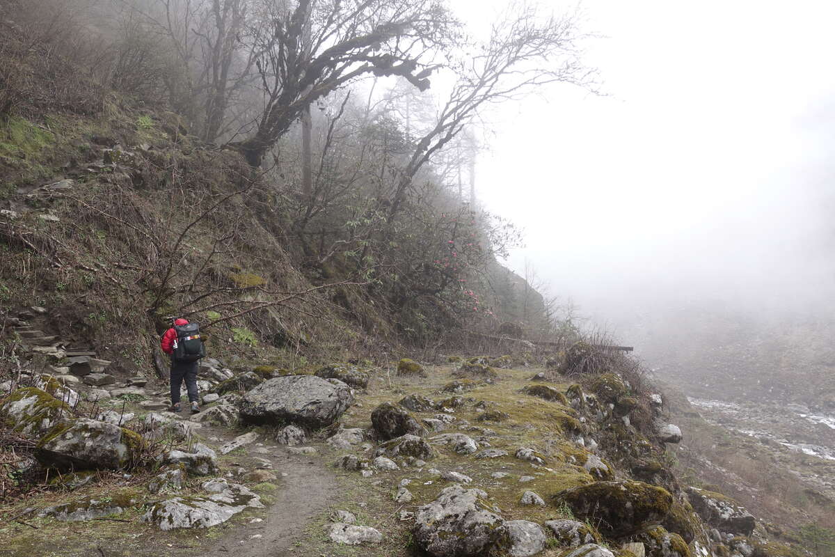
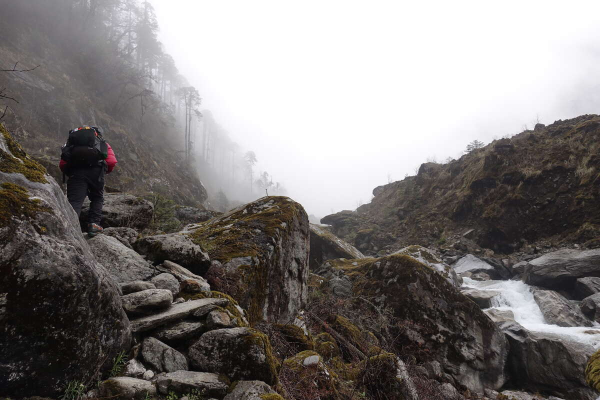
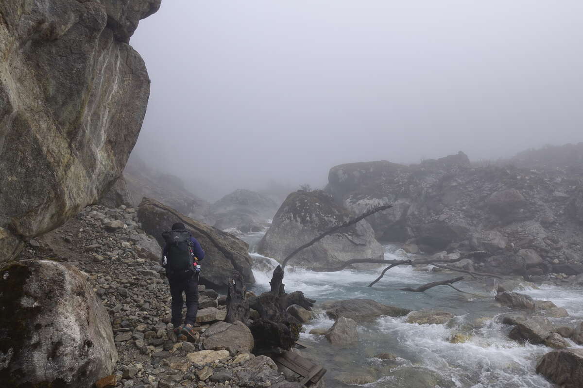
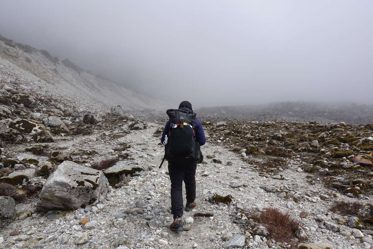
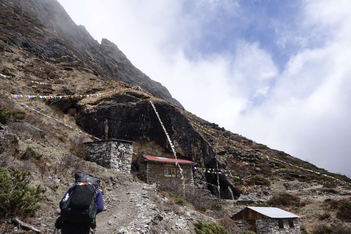
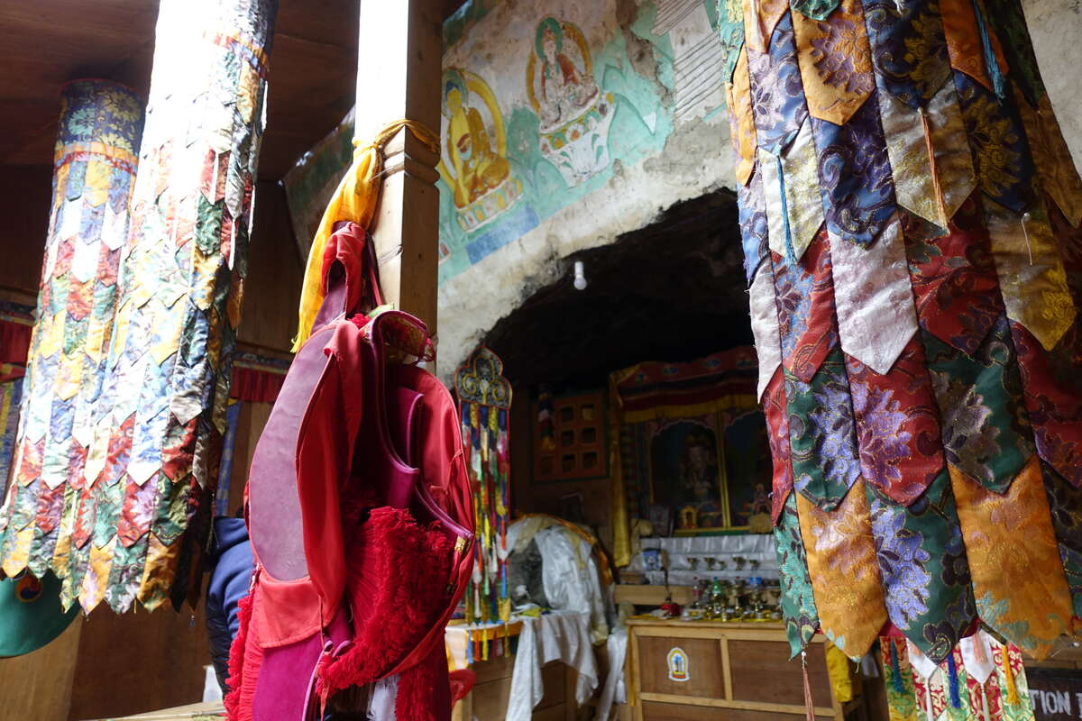
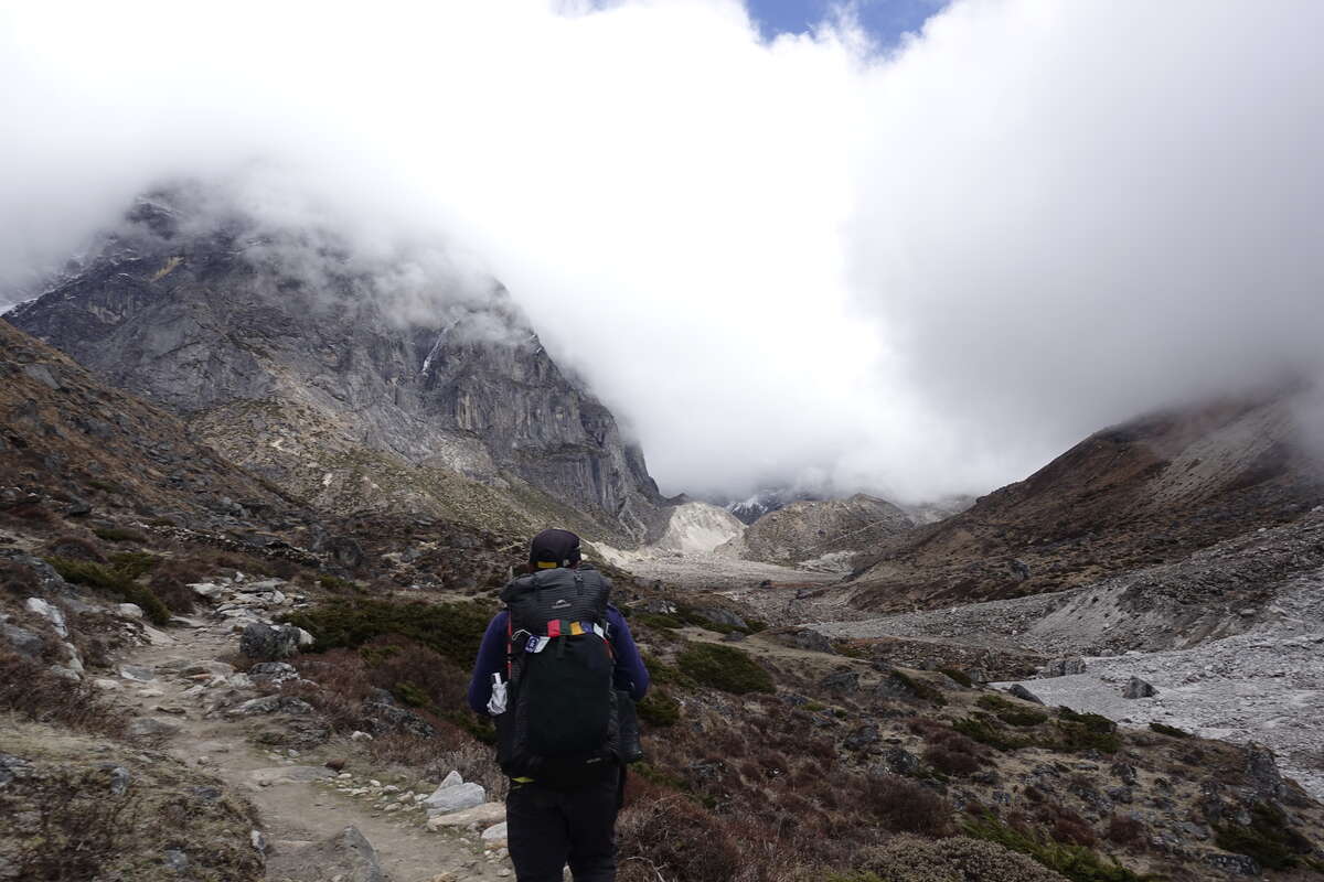
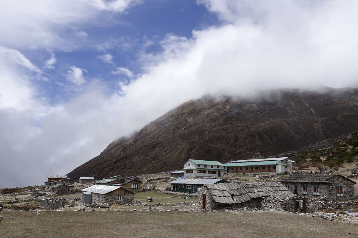
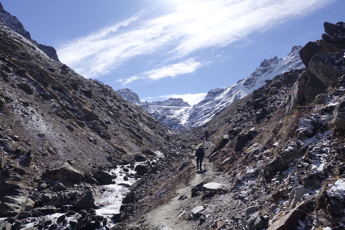
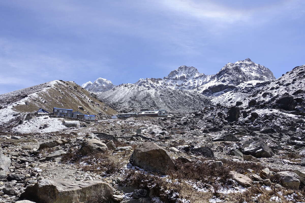
Still in a cloud. There is a rumour that the weather improves from the 4th and that's tomorrow so for now just keep waiting and hoping. Som has started dropping hints that if it keeps up then Ambulapcha will be too dangerous - Mera Peak is fine because there is a steady stream of feet keeping the trail open but the pass receives far fewer visitors and is a different matter entirely. We have found one other group heading that way though, and there is still a whole week before we are due to tackle it so I'm choosing to remain optimistic. I'm not sure what the alternative would be… Breakfast porridge comes with apples and honey and is particularly good, then we're off for just after 7am back into cloud and rocks and not much else. The trail now follows the river and we walk all day on a sandy rocky surface that might be a flood plain or might be the ground moraine of a retreated glacier. Likely it is both. Visibility is maybe 50-100m and not enough to see the far bank. After a few hours we come to a teahouse and stop for hot drink - it is far too early for lunch. I sit and watch a pair of birds - black backs, orange underside and a bright white cap. It drizzles a little but dries up again as we head back out. I have a strong feeling that we're entering an inversion - the clouds are bright overhead, the outline of the sun at times almost visible. We keep going and then the light grows brighter. I am casting a shadow for the first time in days and a crack of blue opens directly above. Clouds still shroud the valley sides but we stand now in a cleft of clear air. We find ourselves in a land of short grasses and juniper; somewhere in the cloud of the last 2 days we have left the tree line far behind. To our left rises a sheer valley wall, to our right still cloud. Round a corner there are prayer flags flying and on closer investigation a little monastery built into the cliff face, it’s inside half a natural rock cave. It is very beautiful. Som kneels in prayer and I wonder if he is wishing for better weather to come. Outside it seems to be working and direct sunshine falls on us for the first time on this trek. We sit and soak it up for a while before heading on, only a short distance now until Thangnak. The lower slopes of the valley are now visible, a few streaks of snow reaching down from the obscured heights, the river snaking through its base. A black dog greats us and joins us for the final approach - a second guide. Thangnak is another trekkers’ village with not much here but teahouses and boulders. A few small fields have been cleared of rocks but the soil is sandy and poor and there are no crops. We eat lunch. The sun is still warm above us so I grab my big jacket and thermal overtrousers and go and find a large boulder to lie on and watch the view and listen to my book. The same routine that has felt quite dull when I’m inside and it’s raining, is now both restful and perfect. After a couple of hours it starts to snow and I retreat back inside. Still, an improvement on yesterday.
Day 7
Thangnag Acclimatisation Day
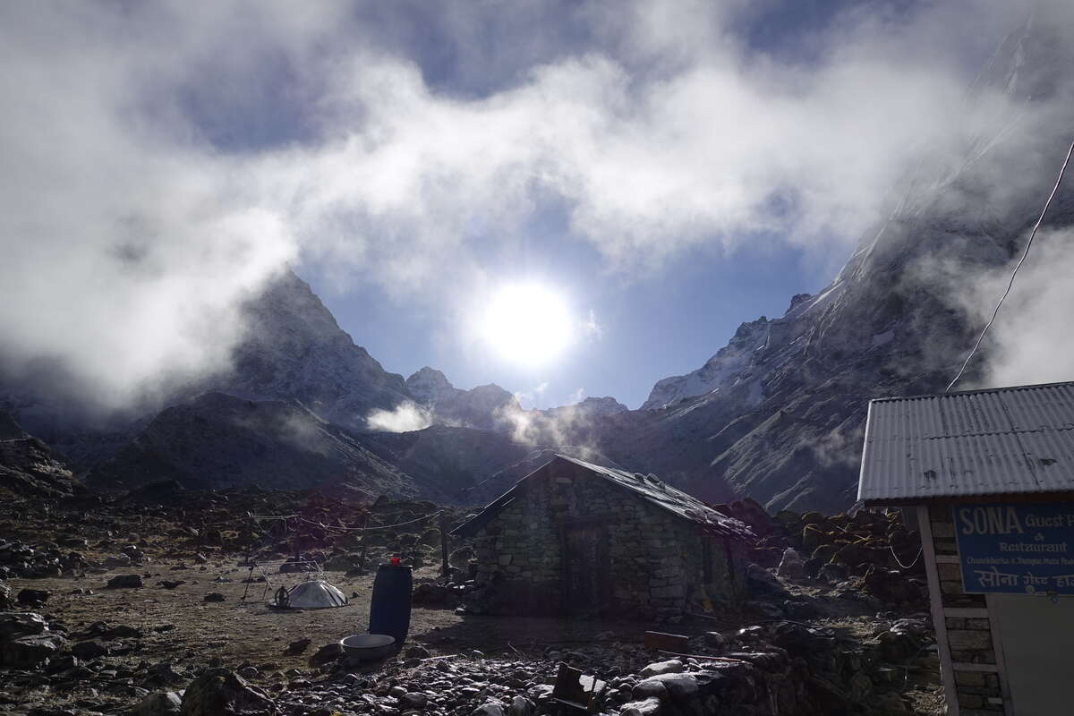
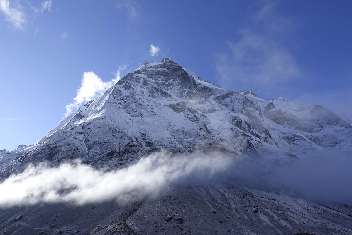
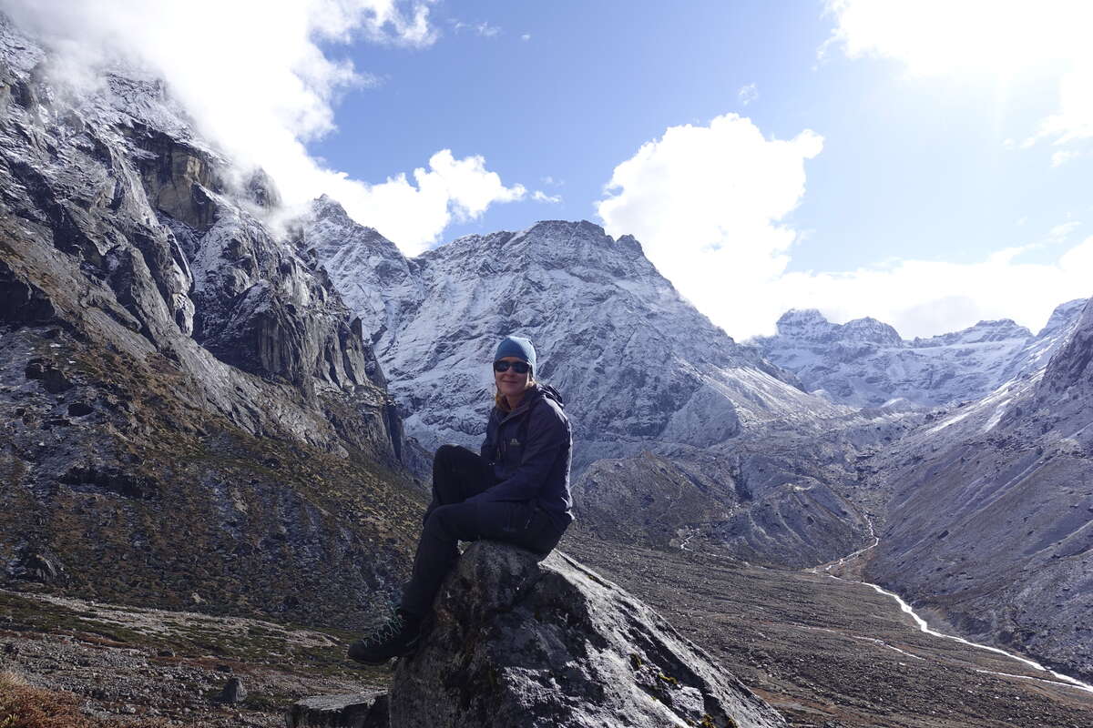
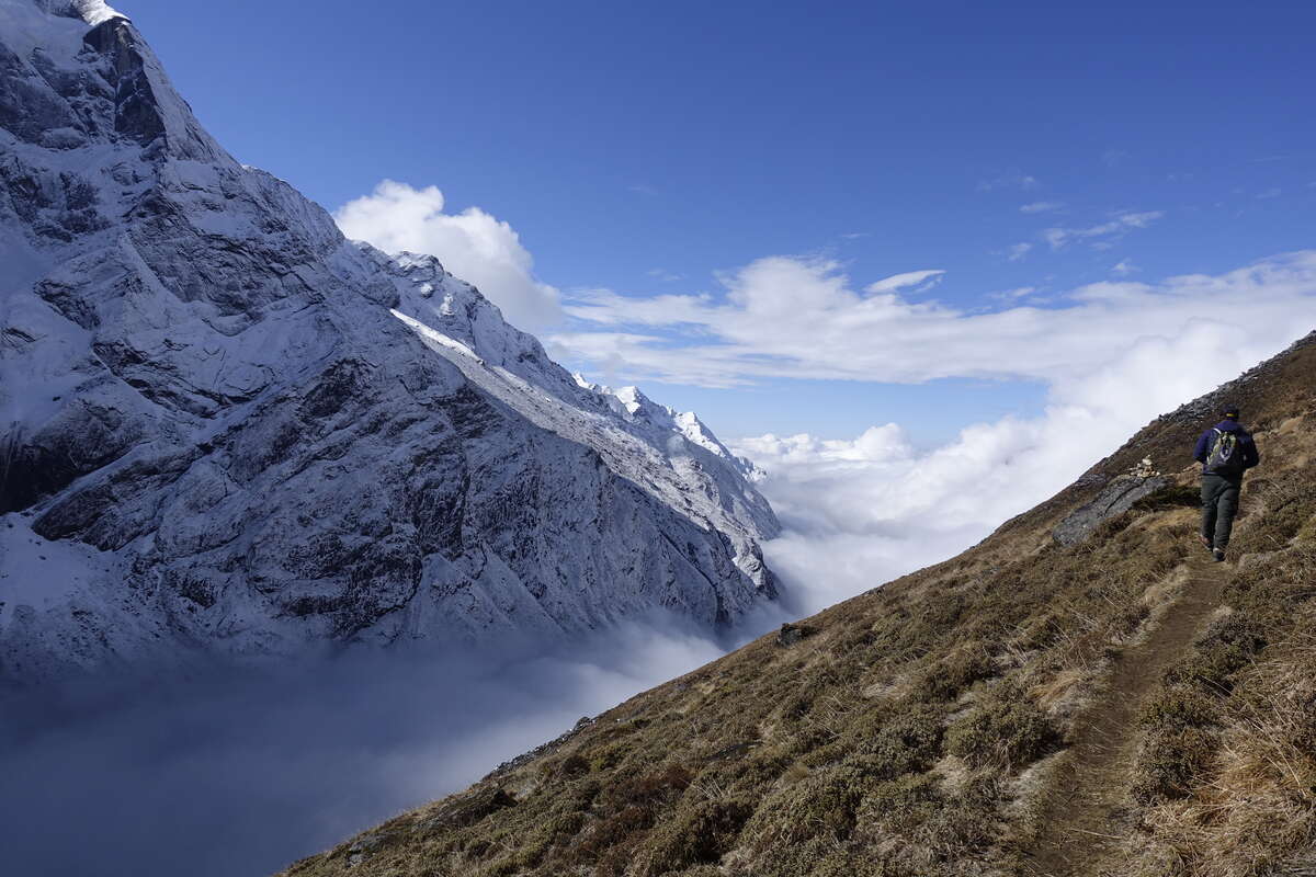
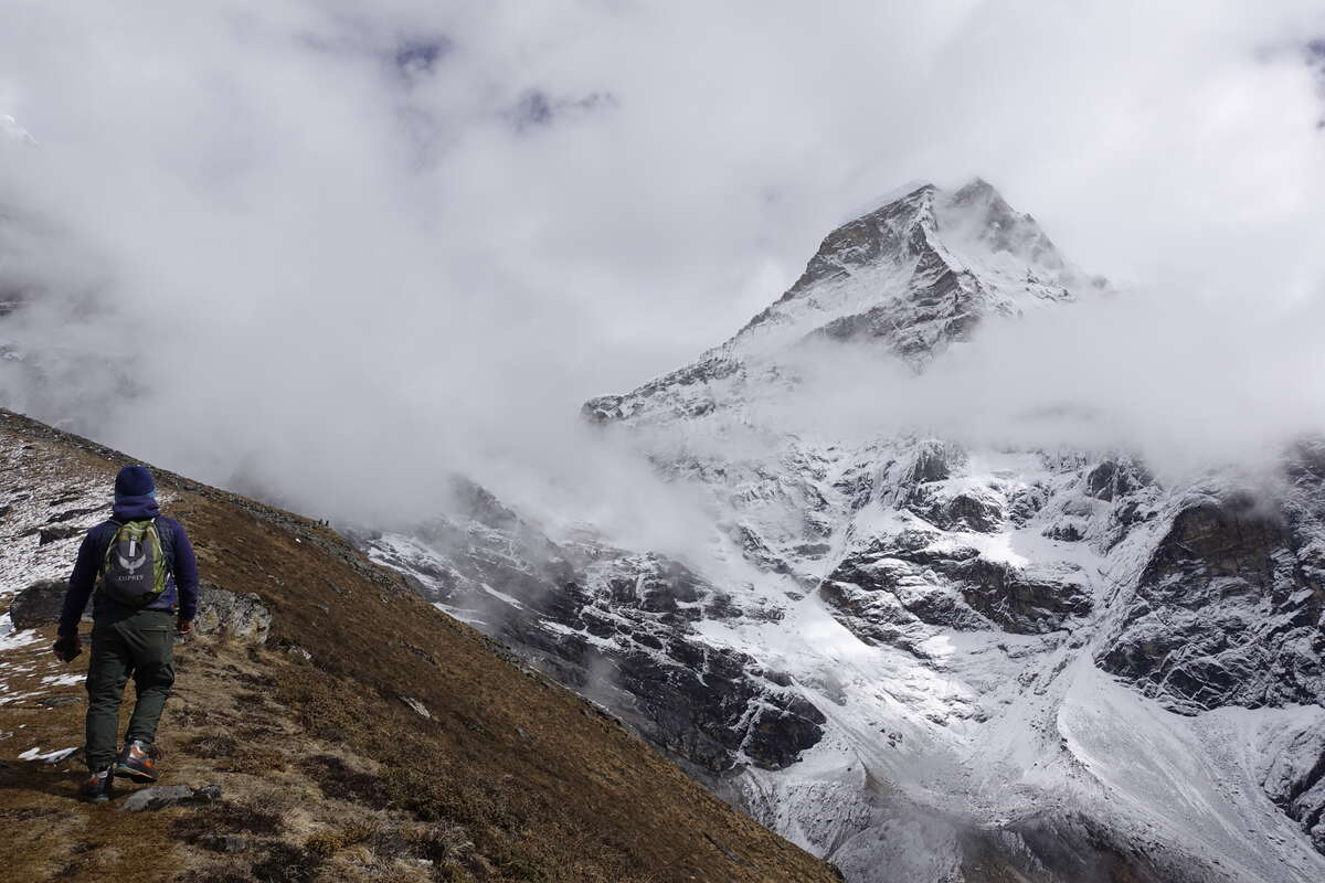
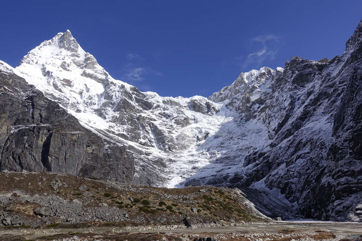
When I got the proposed schedule for this trip this day didn't exist. The plan was to go from 3600m to 4350m to 5100m, and then have a rest. The more I read about altitude sickness the worse this idea seemed. I went through a phase of wondering if I should take prophylactic Diamox then decided to modify the itinerary instead, concluding that drugs should not be used to enable you to put yourself in danger. (This is a very interesting side topic that I might write more about later - it was really fascinating to see the attitudes of fellow trekkers towards this - "oh you have a headache, would you like some diamox I have a few spare", and that while in the UK I’d need a private prescription, in Kathmandu you can find it in the supermarket next to the paracetamol). So for now, it’s goodbye to Bari and Chris who are both heading on (in one case with Diamox) and Som and I are off up a steep hillside in the opposite direction to go and see the view. Speaking of view, we finally found it. The clouds cleared up just as I emerged this morning and it’s breathtaking. We are standing at the base of Mera, looking up 2000m of fairly sheer ice coated cliff. Other giants stand all around as wisps of cloud, and the smoke of burning incense swirl in and around the valley. The sun is hot and bright in a blue sky; the air frigid. We set of straight after breakfast; there are enough clouds around that I know it’s not going to last. So with a steady slow plod we climb. The path zigzags up a dry slope coated with low juniper and fragrant bushes of a species I don't recognise. The path is dry under our feet with a light dusting of overnight snow melting fast under the rising sun. Keep plodding on. The view remains incredible on all sides, low tendrils of cloud creeping up from the lower valley as we traverse. The part we have walked up for the last few days remains under a thick white blanket and we have risen tall above it. After a couple of hours Som recons we are at about 5000m, level with Khare which we will reach tomorrow. Mera opposite us stands a mere 1400m taller - only the height of Ben Nevis. Thanks to a competitive nature and the existence of the Ben Nevis race I know I can get to the top of that in 1hr 26 minutes. The same height gain from Khare to Mera will take 2 days and the summit has only 44% of the oxygen that is available at sea level. Slow steps! We sit for a bit and watch the clouds rise around us, gradually enveloping us and blocking out the view. I am grateful to have seen it. Then we descend. Without the heat of the sun the air is cold and I'm appreciating the fleece lined trousers that have made it out of the bag for the first time today. I'll be wearing them continuously for the next two-and-a-bit weeks as I won’t be back below 4500m until then. Slightly scary, but this time I seem to be acclimatising well. I'm sleeping well, eating full meals and currently still headache free. Just having to do everything very slowly. I’m immeasurably glad I did Manaslu Circuit first or I think I’d be having quite a different experience. We're back in Thangnak for 10:15 and the woman running the teahouse frankly doesn't believe we've been to the top and back in that time. Som yesterday estimated 5hrs. So, doing well. Though it does leave a lot of time for sitting around… I decide to wash my hair. There is a room marked "shower" which turns out to contain 3 stone walls, a door, a loose rubble floor with some animal droppings and absolutely nothing else. Where's the water? In the end I find a bucket and make do with that. The water is quite literally glacial but the sun and wind do a great job of drying me. I'll tackle the rest with a wet wipe.
Day 8
Thangnag to Khare (5045m) 5km
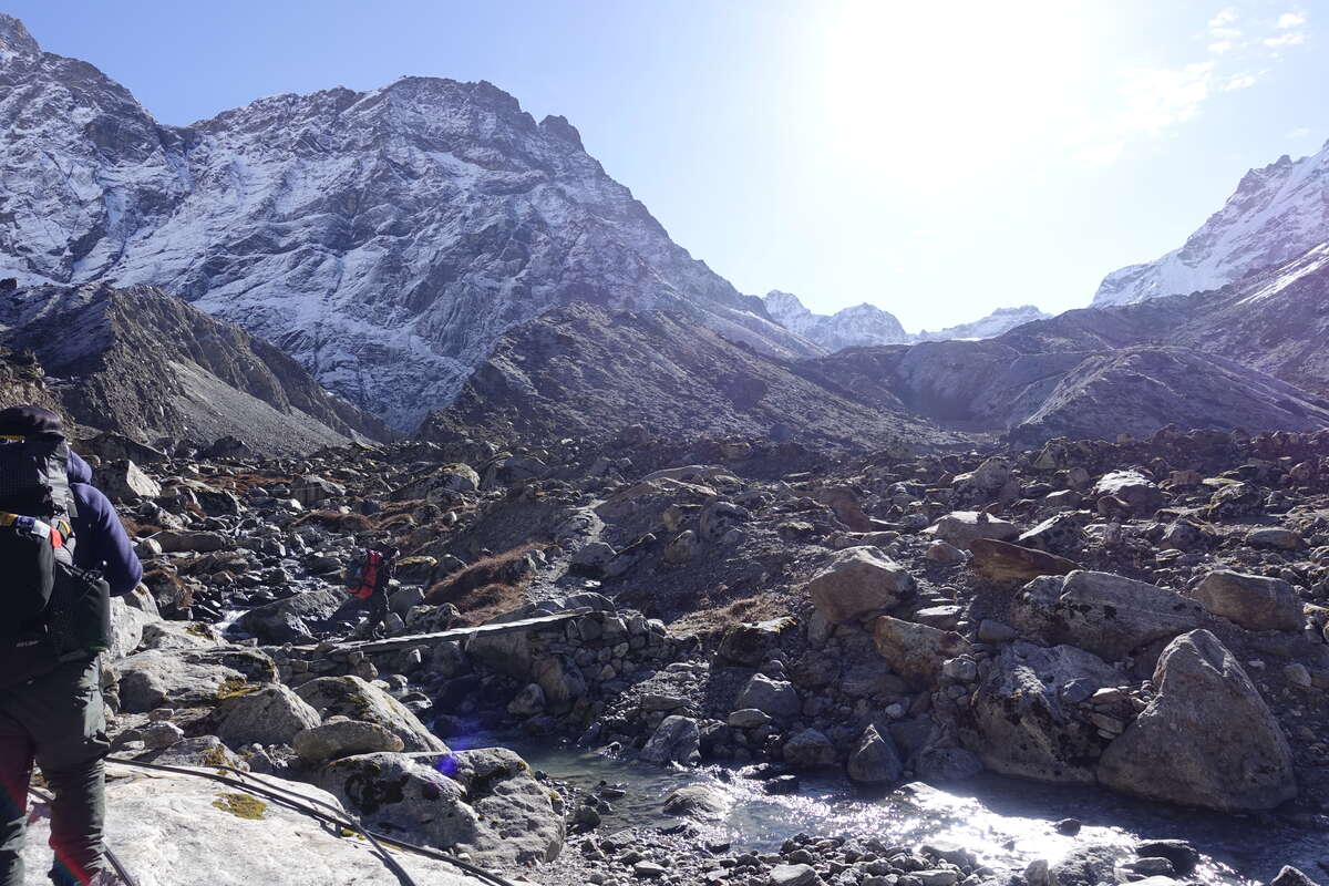
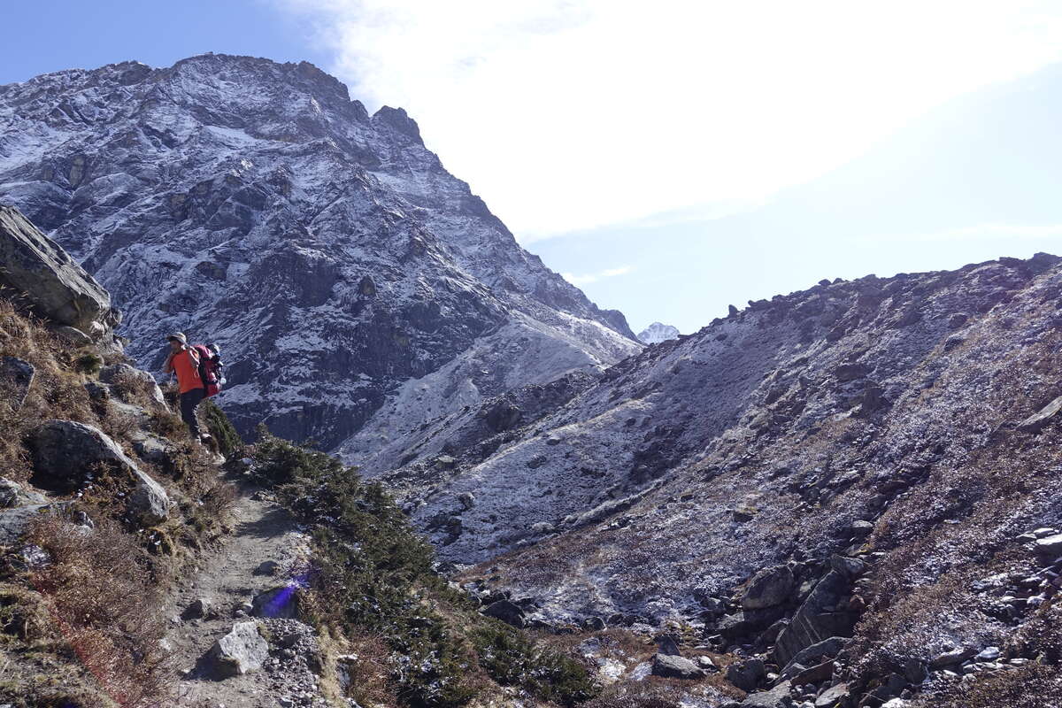
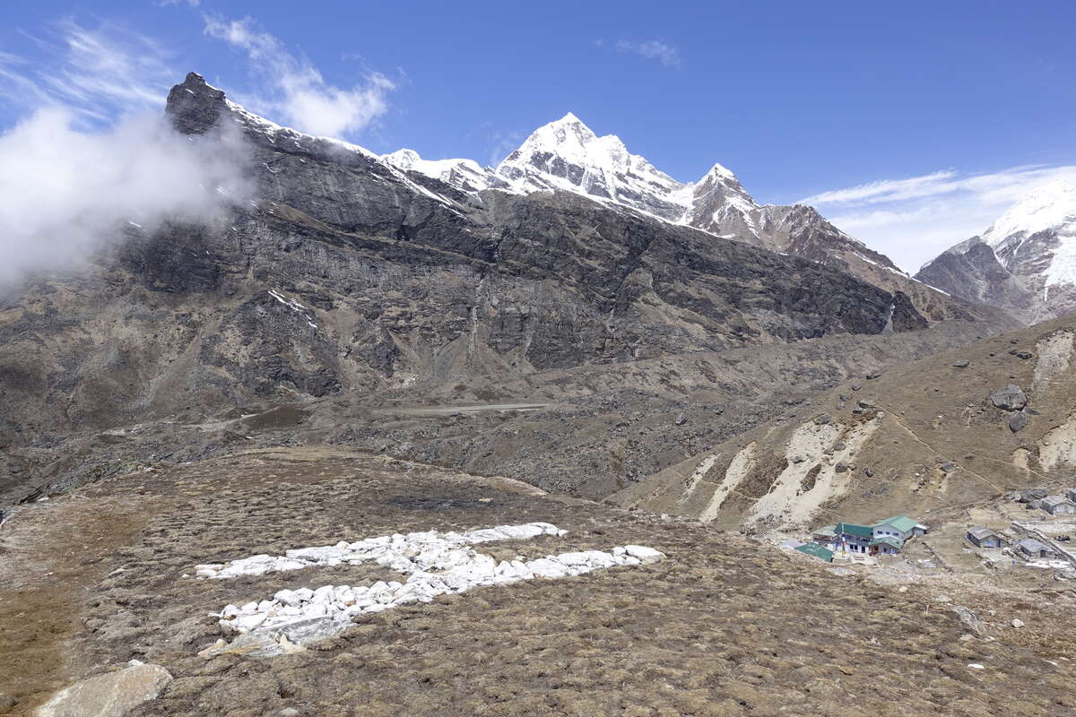
A perfect blue sky morning! The air is thick with incense, burning to bring good weather. We get our usual early start though it’s only a short distance that we have to cover today. The sun is hot and bright and quickly removes a light carpet of snow that has accumulated overnight. Mera stands tall above us, other peaks all around. The trail follows the valley floor, a rubbly dry plain, apparently the result of a glacial lake that burst its bank. Onwards, we turn the corner of the valley and gain height, following the line of a stream. Everything is bright and high-contrast around us - the blinding white of the snows, the dark dirt of the valley floor. A few woody shrubs and short grasses are all that grows. I plod slowly. Up until now I've been in two minds about having Syla carrying my overnight bag for me, and been confident that I could carry everything myself if I'd chosen to. Less so today. We walk as a three and I'm definitely the limiting pace. Still, I'm feeling perfectly cheerful, eating well, headache free. Doing OK. We climb slowly but steadily, one thing I am good at is sustaining a pace. Khare is reached mid morning, officially 5100m according to my schedule but 4900m according to the sign on the teahouse. We'll round it out to 5k. Now to sit around and see if I can keep feeling OK. I have an excellent thaknack stew for lunch (like Sherpa stew but with egg) then I very slowly climb an extra 50m or so to a little view point and sit and watch the mountains. I can see the trail ahead where it crosses the snows, little black dots making their way up and down. A succession of returning trekkers in varying states of exhaustion file past, they will have made their summit attempts this morning. An eagle flies circuits over Khare mobbed by crows. A raven turns a flip mid air. Clouds build. It is warm in the sun and I half drift off but wake short of breath every time my breathing slows. Sleeping up here is going to be tricky. I wander back to the teahouse and measure my sats at 84%. Som is winning today at 86%. But symptoms wise all is good - maybe the faintest suggestion of a headache but only if I think about it, and while I enjoy a whole 3 course dinner I'm not as hungry as I have been. If you'd flown me here by helicopter I'd be seriously ill but as it is my body is working out how to cope.
Day 9
Khare Acclimatisation Day
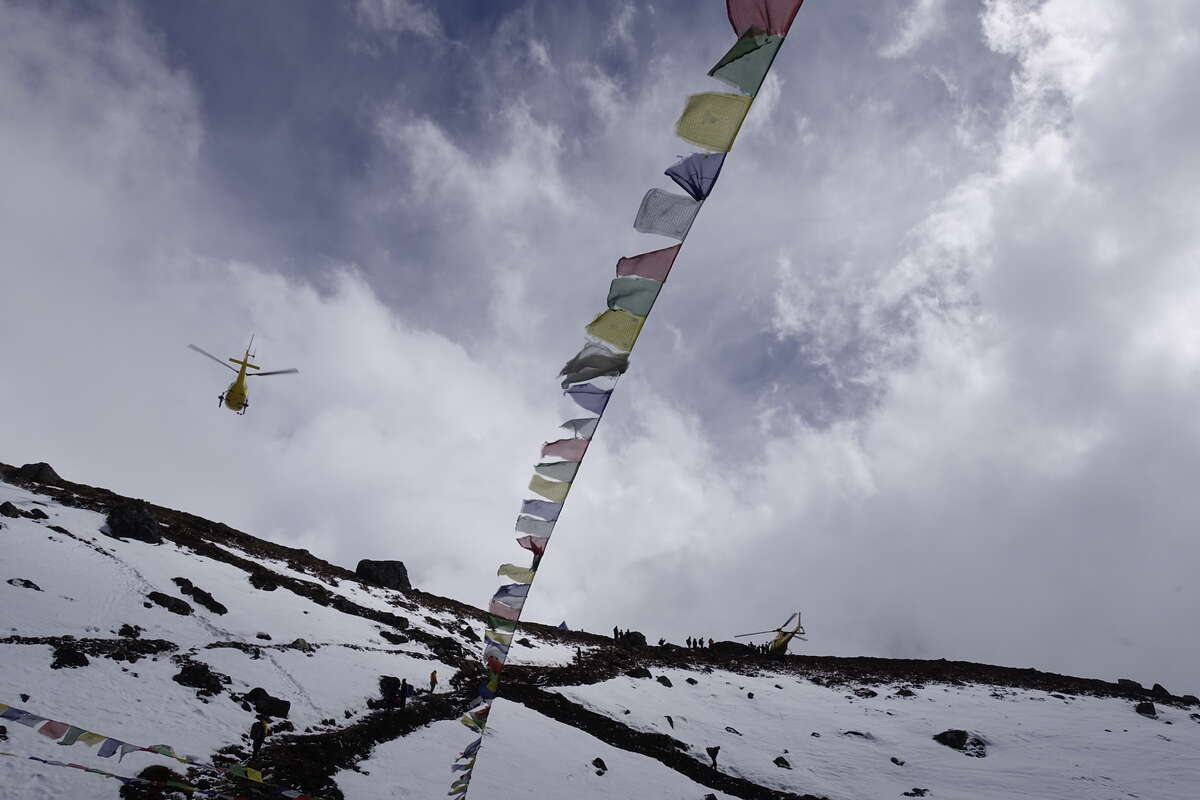
Another rest/acclimatisation day. I feel I've done a lot more resting than actually walking on this trek so far. We're in cloud again, and because of the elevation the rain is falling as snow. Hmmm. We have a leisurely breakfast then sit about for a bit hoping it will clear (which of course it doesn't). We get out for a bit of a walk anyway which feels good and head up towards Mera base camp. On route we meet Canadian Chris who is possibly heading up to high camp but possibly not depending on how the weather progresses. As expected yesterday after his rapid ascent he was pretty unwell with nausea and dizziness but feeling OK today. I'm glad I took the extra day, even if it has meant a lot of sitting about. I'm feeling good while sitting but quickly out of breath when walking - and I'm still prone to setting off a fraction too fast. I do this heading up the steps out of the lodge and within maybe 10 seconds I have to stop, gasp for air and suppress a rising flush of heat which comes with an unpleasant urge to wet myself. This is by now an unfortunately familiar feeling and is essentially my body having a small internal panic over the lack of oxygen. Fortunately it passes just as quickly as it comes. Slow Down. I fall into a sustainably steady plod for the rest of the way. The clouds are thick around us. We gain a little height then traverse a boulder field. Som stops to chat to some climbing guides. Ambulapcha is closed. Yeh I know, I have a complete lack of surprise at this but it’s still disappointing. It’s quite a key link in the itinerary I've planned. We head back, have lunch and stare at the map. I estimate it’s about 50km via Zatwra La and Lukla to get from here to Chukung rather than 25km via Ambulapcha. Could be worse, and I've done the acclimatising so we can stop sitting about and actually walk. Som thinks I'll be able to do it with maybe 2 extra days and that’s time I have. So now I just to cross my fingers that Mera will be possible the day after tomorrow because the spare time has sort of vanished, and then to see how far I can walk. We meet our climbing guide, Dorje, sort out some B3 boots and crampons then get a brief training session in using an ascender and abseiling. Fortunately all stuff I've done before so it’s very quick. Then the sun comes out and there is a flurry of 10 helicopters shipping people out - those who have made their summit attempts and for whatever reason don't fancy walking back to Lukla. The place is suddenly a lot quieter. But with the sun Som says maybe we can do the pass after all and goes off to speak to Dorje who says yes its fine if the weather holds so we will pack for going on and then just see what tomorrow brings. Any issues and we can come back this way and enact plan B. Chris walks past mid afternoon. He didn't make it to high camp (zero visibility) and is going to try again tomorrow.
Day 10
Khare to High Camp (5780m) 9km
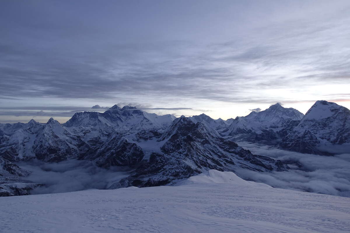
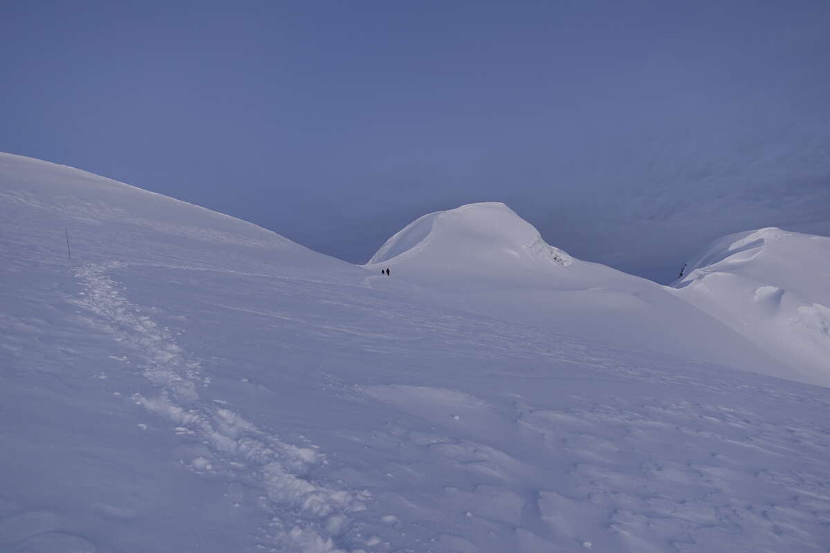
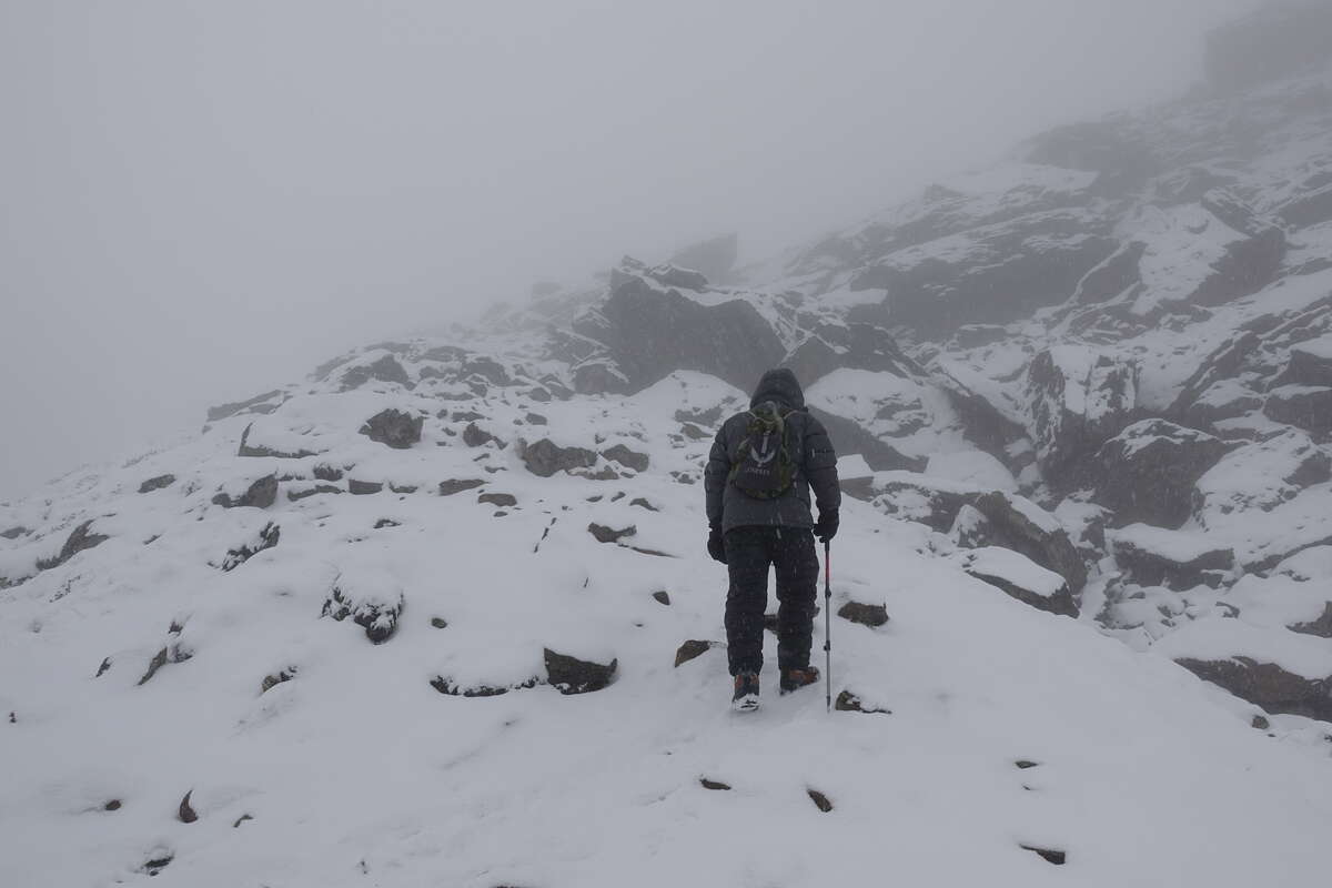
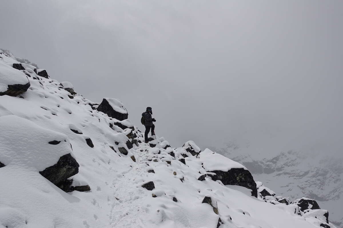
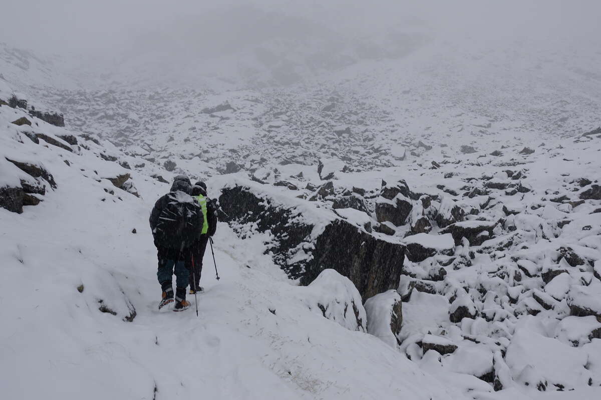
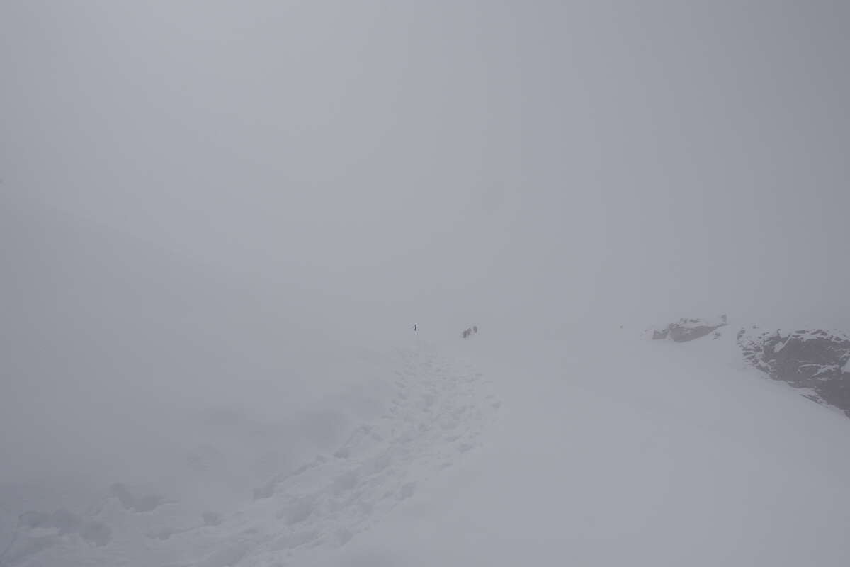
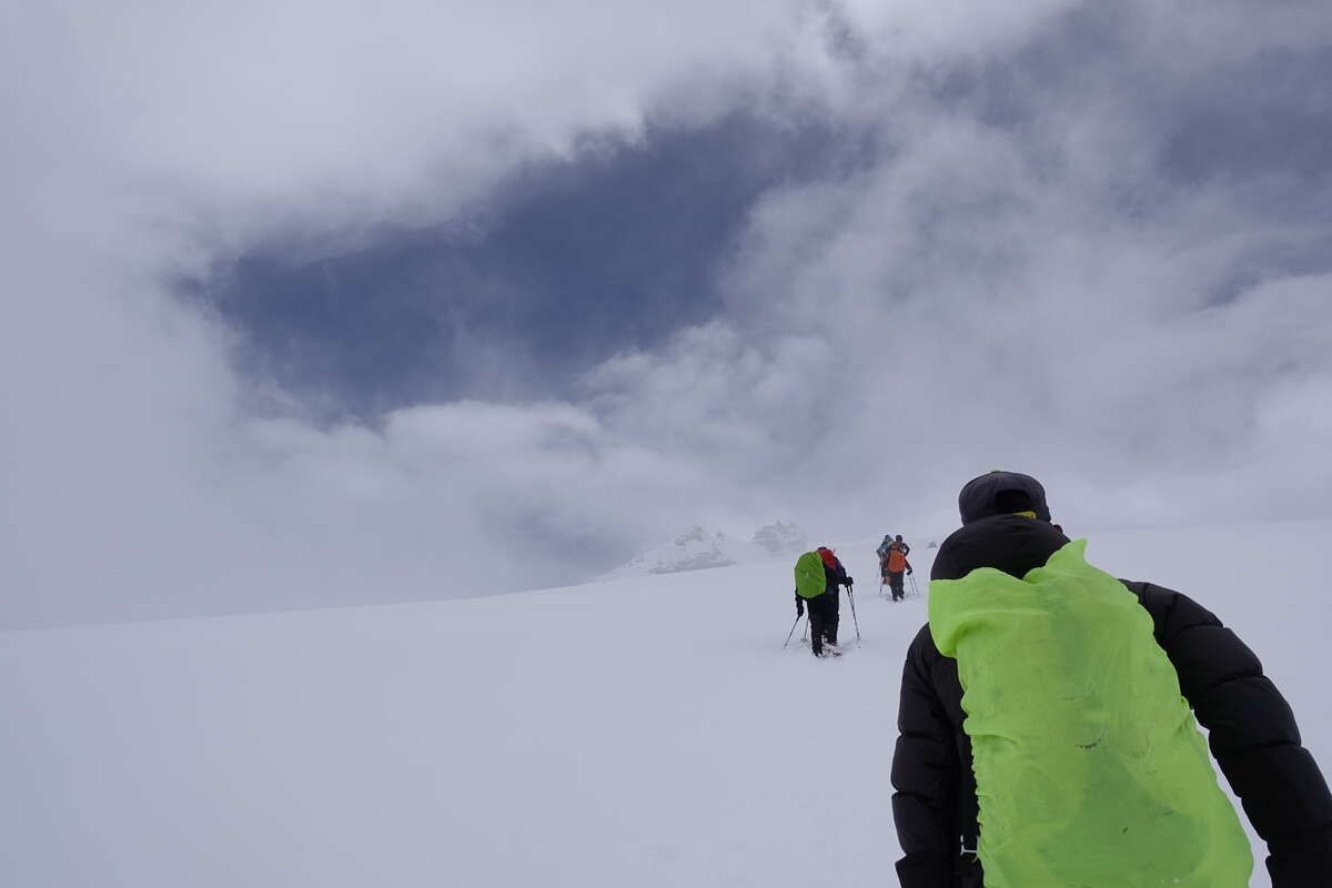
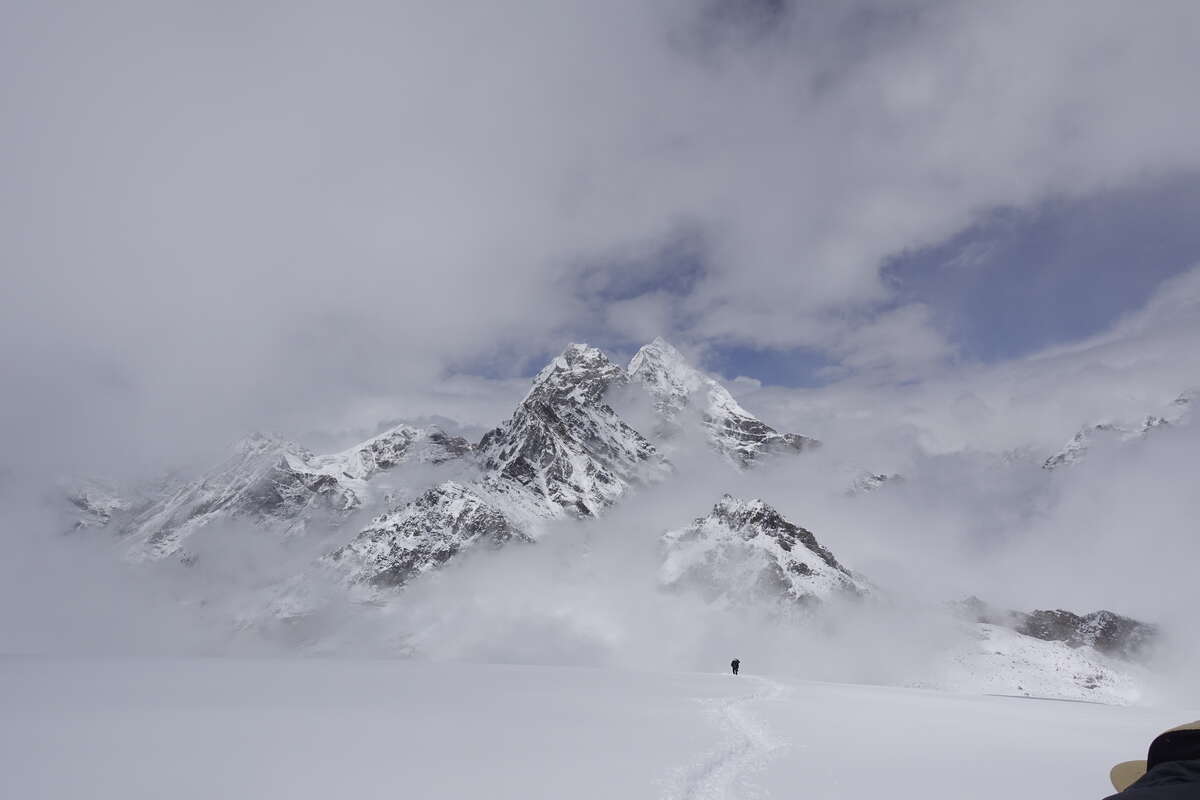
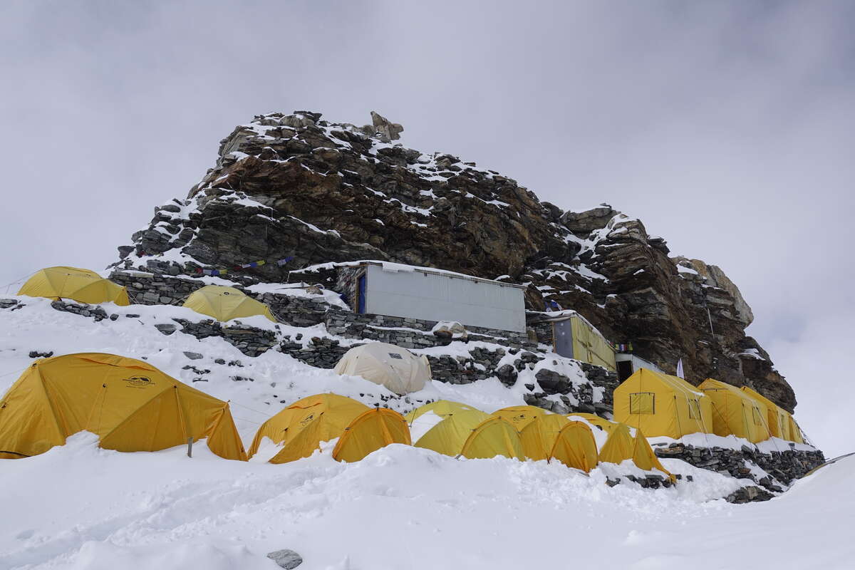
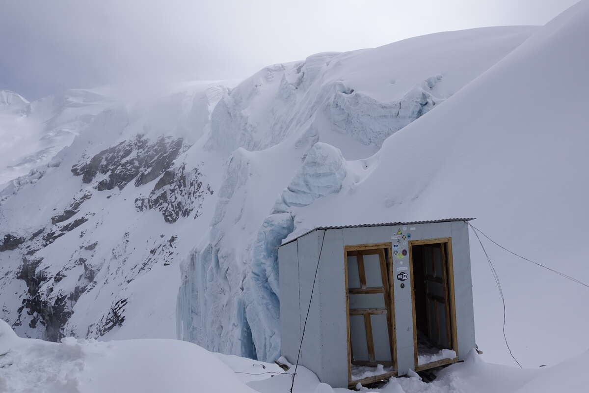
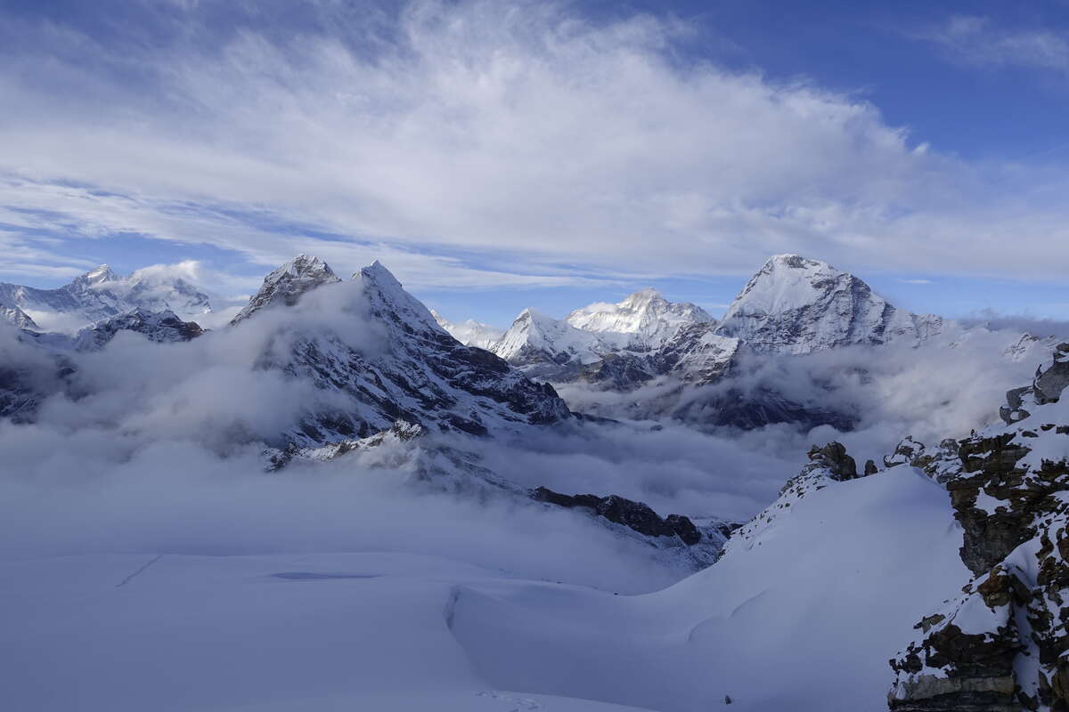
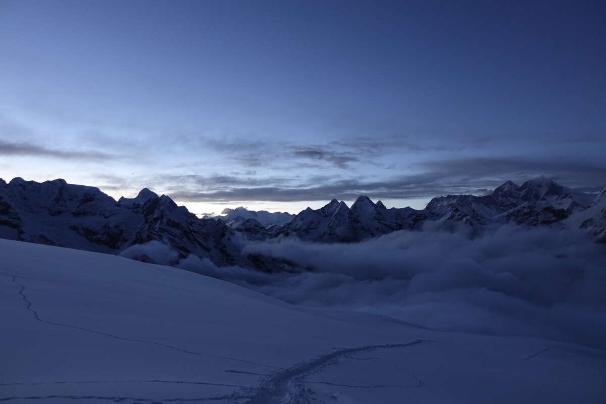
It’s snowing and cloudy again this morning but we set off regardless. We follow the same path as yesterday but this time carry on. I'm sliding about a bit in the borrowed boots - they have a very slippery rubber and are really prone to balling up. OK the snow might be slightly different today but I had really good grip in my own boots yesterday and no balling at all and conditions looked pretty identical. Oh well, slip and slide, nice and slow. We gain height and catch a few groups that set out before us but we're all moving at a pretty glacial pace. Then we say goodbye to the rocks and start on the snow fields. Crampons on. I attempt to assert that I really can do this myself but Dorje’s having none of it. It makes me feel like a little child having someone else put crampons on for me. Carrying on up its still cloudy but with a bit of visibility - enough to occasionally make out the lumps of the slope ahead and make you feel slightly dizzy if you look around too quick. The trail is well trodden and also marked by stakes every 100m or so. I fall into a slow trudge behind Dorje, matching his steps. The gradient steepens by a few degrees and I can feel every one of them. The back of Dorje's boots swim in and out of my tunnel vision. Step, breathe, breathe, step, breathe, breathe, step, breathe, breathe, axe breathe, breathe, step, breathe, breathe... Then the gradient lessens. Ahead is another white bump of a hill in a white cloud. Occasionally small dark figures mark the route ahead. Trudge on. Breathe. Breathe. We reach Low Camp, a cluster of tents in the snow, and take refuge inside for a bite to eat. The sun is starting to penetrate the clouds a little and it’s hot in the tents. I'm grateful for the rest. This is tough. Onwards, the clouds thin out, waves of heat travel through and our shadows come and go. Then there is a chink of blue sky and suddenly, looking back, a whole mountain panorama behind. It doesn't last long but the clouds stay thin and the way ahead clear. I add more sunscreen to my nose. Onwards and onwards and onwards. My gaze is locked on the next footprint; there isn't enough air for anything else. Occasionally I glance up to see that the shape of the white mound ahead has changed but still, there is always a white mound. Trudge, breathe, breathe, trudge, breathe, breathe. The snow is balling badly on my crampons, probably carrying an extra 500g with every step, but the effort to remove it, only to have it build again three steps later is getting too much. Trudge, breathe, breath. High Camp is just by that boulder but there are several white mounds still to go. This Is Hard. Eventually High Camp is reached. I sit in the little metal hut which serves as kitchen and dining room and try not to slump too obviously. Hot tea is produced, and biscuits and noodle soup. I need to eat, and put more layers on and remove my crampons and very slightly damp boots. It’s all a bit much but one thing at a time I get through. The soup is especially challenging - eating is going to be a struggle up here, but I manage it. I have a tent with a very comfy mattress which is warm in the sun. I spend a while alternating between admiring the view and cosying away for a lie down or two. Som and Syla are off back to Khare and will come back up to meet us tomorrow. Then we will need to make a decision about the pass. Som thinks no - if I'm tired from this then that will be harder. But I'm at 5800m now and that's the height of the pass. I think I can do it, but I don't know if it’s safe with the unpredictable weather and I really don't want to go all that way then have to come back. I will see how the peak goes and delay all decisions until tomorrow when I'm even more tired. I decide not to measure my sats. They are probably in the 70s and I just don't want to know. Whatever happens tomorrow I'll be descending for the night. A little later I'm standing about admiring the view of Makalu when someone says Everest is just round the corner. A group of us trudge back up to the other side of the rock the camp is sheltered by and there it is, a full mountain panorama. We pick out Amadabalam, Everest, Lotse, Makalu. Many others that we don't know the names of. They are so tall, so shear and sharp. A fresh youth of mountains rising raw into the sky. I stand and watch the sunset.
Day 11
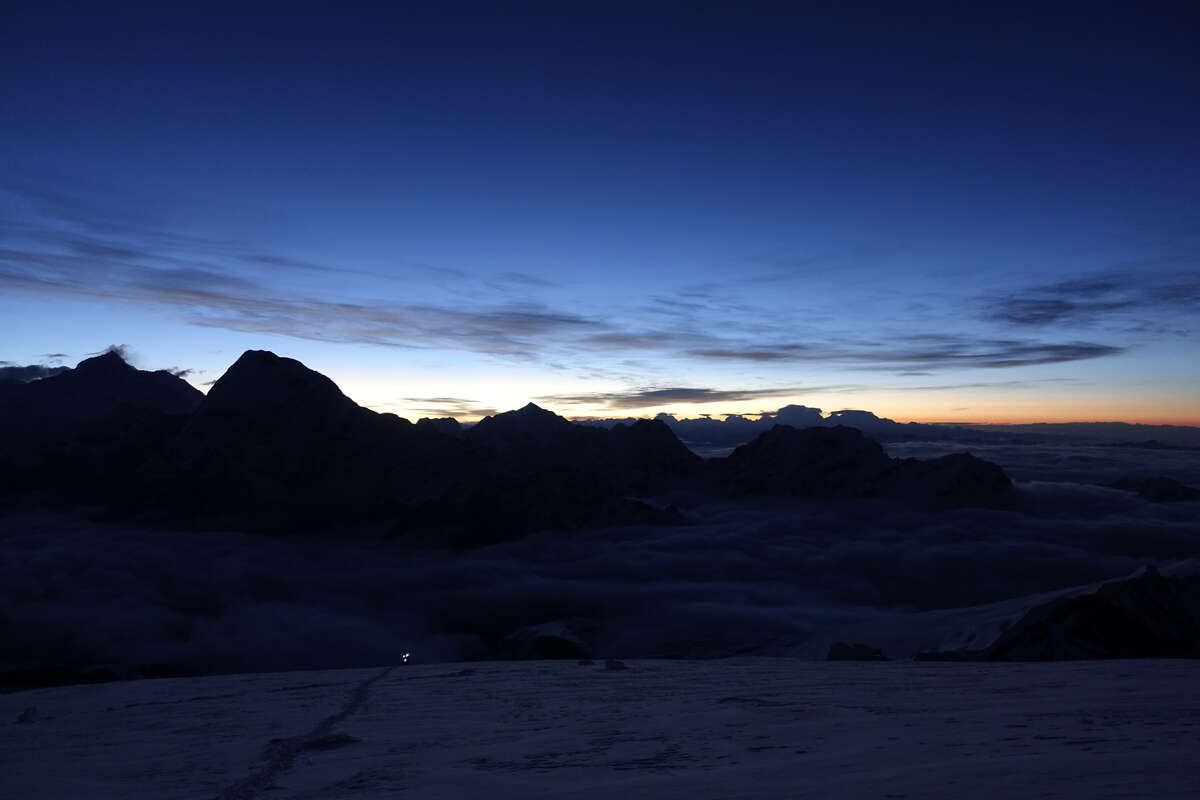
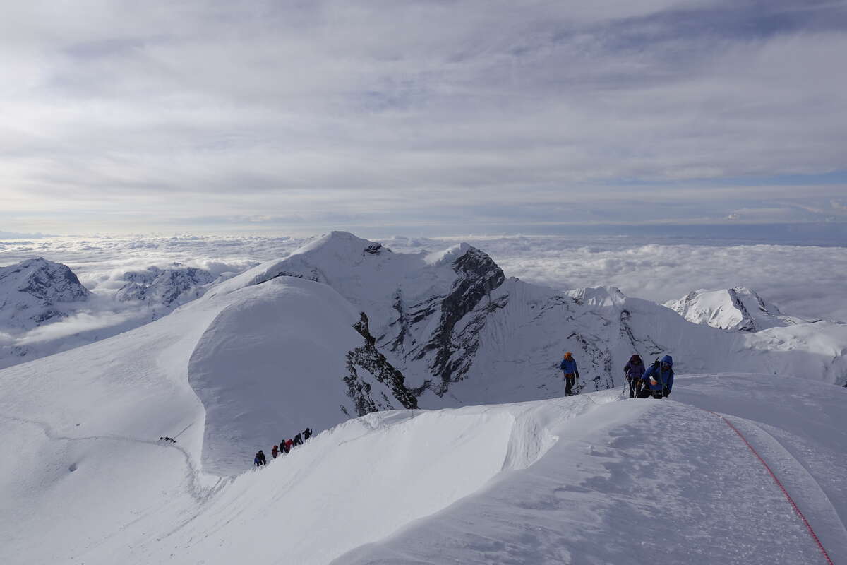
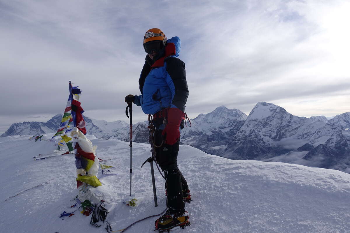
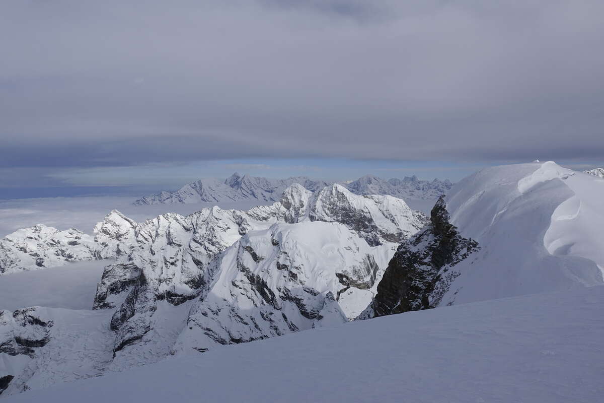
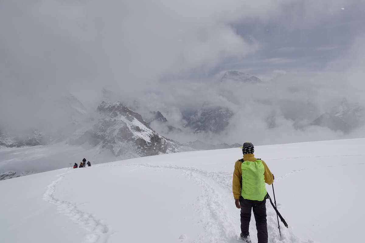
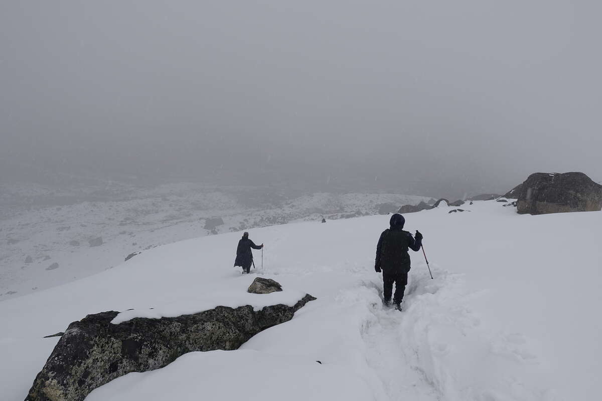
High Camp to Kongme Dingma (4800m), via Mera Peak (6470m) 9km
The alarm is set for 00:20 but I wake up about 22:30 with a headache and don't get back to sleep again, so 2hrs sleep? There is a soft moonlight coming through the tent fabric and no sound of precipitation, and indeed, on stumbling out the skies are clear. I manage breakfast, then insist on carrying my own rucksack which I get away with only because it is closer to me than Dorje and I grab it first. I agree that if everyone else is faster then I'll give it up, but somehow it feels important (despite the fact that Syla had been carrying my overnight bag around since the start) that I can carry my own day bag to the top of this climb. Not that there is much in it as I'm wearing just about everything I have with me. I expect to boil but it’s so cold and I'm so slow that this is absolutely not an issue. We set out by head torch, a little line of lights picking their way up hill, much like Larkya pass but a smaller group. 20ish? I quickly lose track of where we are in the pack, I have no energy for anything other than breathing. There is just no air up here. Sometimes we seem to be breaking trail, at others there are lines of walkers ahead. All of us are roped to our guides - we're not trusted to walk at this altitude. Probably just as well, as the sky starts to lighten behind I find that lifting my gaze from the footprint ahead to turn round slightly gives me vertigo. Stopping is almost harder than carrying on. Dorje keeps encouraging me to take water breaks but I physically can't drink I'm breathing that hard. I find a rhythm, gasp, gasp, step, gasp, gasp, step, gasp, gasp pole. Keep moving. The slope ahead is shrouded in darkness but towers always over us. Windslab creaks under my boots, starts to break in surface chunks. Avalanche risk? Some part of my brain is still working, but although the slope feels practically vertical to my struggling lungs it’s actually very gentle and not steep enough to slip. This thought process uses enough oxygen that I have to stop and gasp for a minute before I can go on. Stopping is the worst. When I’m walking part of my brain believes that when I stop I'll be able to breathe again and this knowledge is comforting. When I stop it discovers this is not true, and this is scary. Eventually we reach the top of the slope, the sun coming onto the snow at almost exactly the same time. There is one final obstacle, a short steep slope to the summit. There is supposed to be a fixed rope but it’s thickly buried and although we dig for it, it cannot be found. Dorje takes the lead, borrowing another guides ice axe (I'm oh so glad I ignored the "you won't need that" and brought mine) he forges a way up onto the ridge. We're roped together so I must follow. I thought walking up a gentle slope was hard; now my lungs burn with the effort of swimming up through vertical powder. The ridge is short but steep. To fall to my left would risk death for us both. This is not going to happen because the snow of this side is solid and takes the full shaft of my axe with just the right amount of resistance, but still. I cling to the right, where powder occasionally tries to collapse under my feet but the slope below quickly shallows to a gradient that I could stop a slide. I'm basically on my knees: one ice axe, one pole, one burning pair of lungs, many oxygen starved screaming muscles. But then there is the top. We are the first to carve our way up this slope today, the first to stand and look out over an endless panorama of the tallest, most raw and jagged summits I have ever seen. We are quickly joined by others. In the time it takes me to gasp my way through a Mars bar they have done their photos and descended. Just as well because what felt like a death defying ridge in ascent is now a well trodden staircase. I manage a little water and then we head back the way we have come. It is so much easier going down but I'm exhausted. I want to sit an hour and rest but I know that up here that will do very little. What my body needs is air. We descend quickly, the sun rising overhead to bake down on us in our many layers. High camp is reached, and there is no hiding the minor collapse onto the bench this time. I’m genuinely unsure if I've ever felt this tired. I manage a little soup, an egg, some tea. Syla appears to collect the bag. We descend further, reach low camp then Mera La where Som is supposed to meet us. We have to decide which side of this pass we are descending off - Ambulapcha or the long way round. Som is not here. "Kongmadingma or Khare?" asks Dorje. I don't know. I'm knackered. Now that I've gained the mountains I want to stay in them, and yesterday watching the sunset I thought I could trace the route round towards the pass and it looked perfect. But now, standing in lightly falling snow, I hesitate. Dorje says maybe we can cross but he doesn't know what the weather will do, but that it’s fine if it’s cloudy. To him this is very ordinary and he doesn't seem to understand my hesitation. He and Syla have a long conversation in Nepali and then look to me for a decision. What is the pass like? Shrug. Do you think it’s safe in this weather? Shrug. I can't exactly call it an informed choice. I know Som wants us to go around but I think this is mostly out of concern for how tiring I will find it rather than it being unsafe, after all this is not a well trodden compacted trail. But Som isn't here, is that a deliberate move to force me back to Khare? “KongmaDingma” I say. And if we can’t get through we'll just have to come back. There is a group of 6 one day ahead of us - so if they retreat we will know, and it they cross they should leave a trail. We follow their trail now, clear even in the falling snow. Syla leaves the bags and heads down to fetch Som, who catches us so quickly that he must actually have been heading up to meet us after all and we were just too fast. He is fine with the decision. Snow falls thickly around us as we descend. Breathing is easier. We are dropping into a lush oxygen filled paradise. (A funny contrast to how I perceived 4500m when I first reached it but everything is relative). We come at last to KongmaDingma - three buildings and a cluster of tents. My body tells me it must be getting towards evening and I'm shocked to look at my watch and discover it is only 11:55. Not even midday. I manage most of a plate of rice then a nap. For the first time in days there is enough oxygen to sleep on my side rather than my back. Bliss.