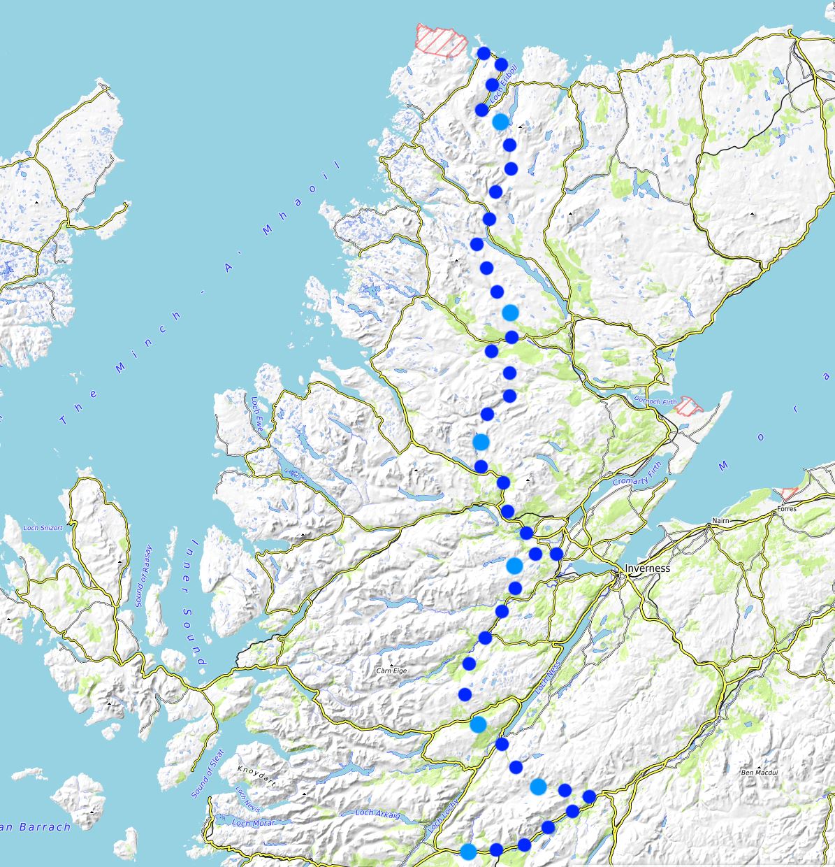
Day 5: Loch Laggan to Melgarve Bothy 34km/21miles (+15km)
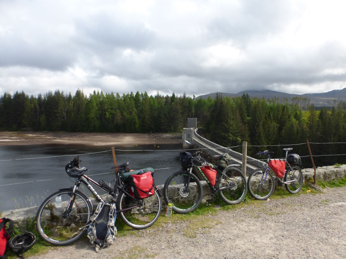
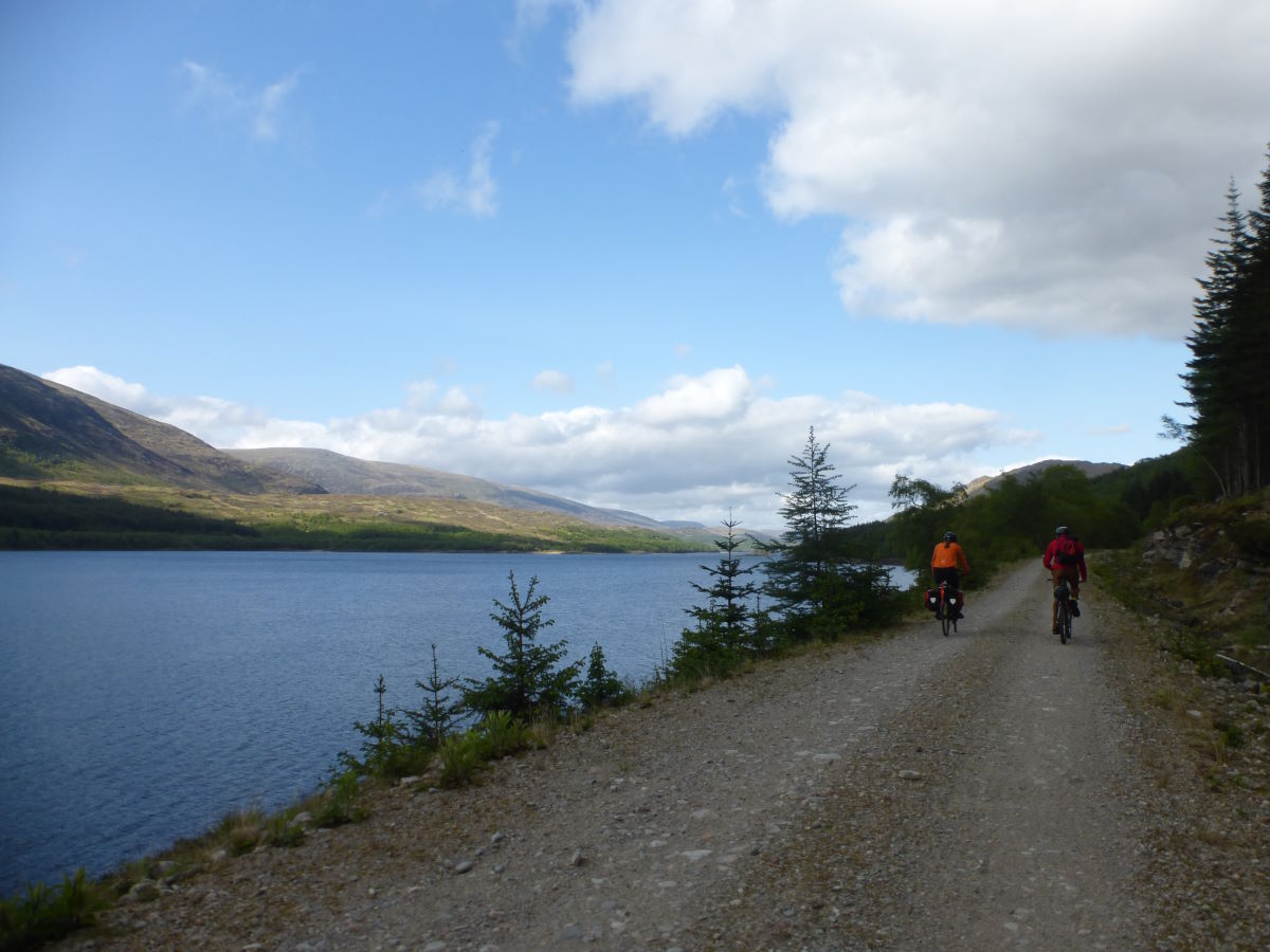
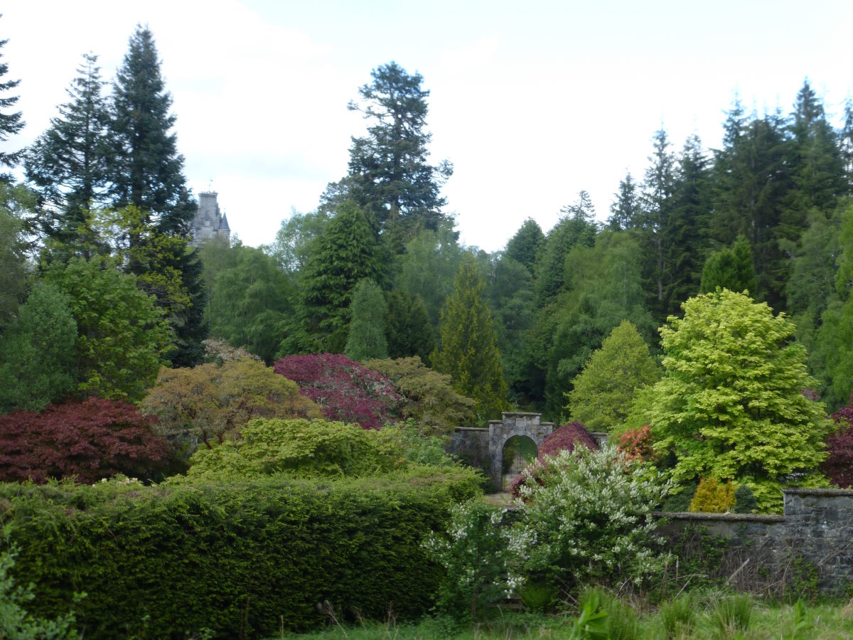
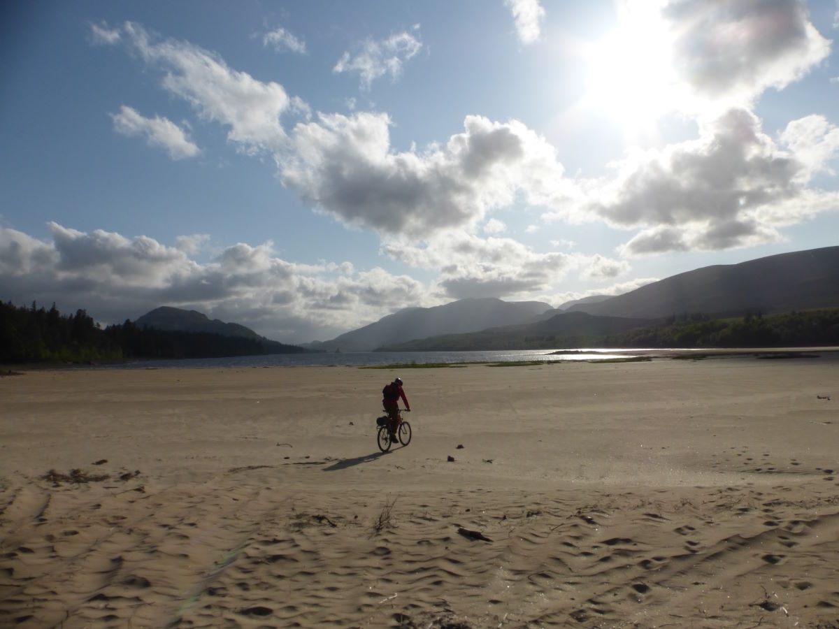
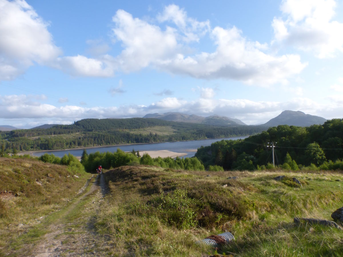
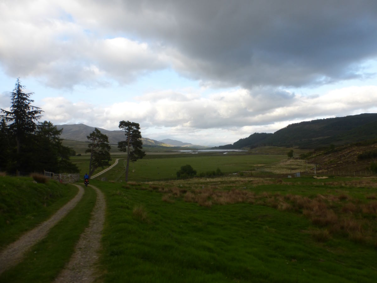
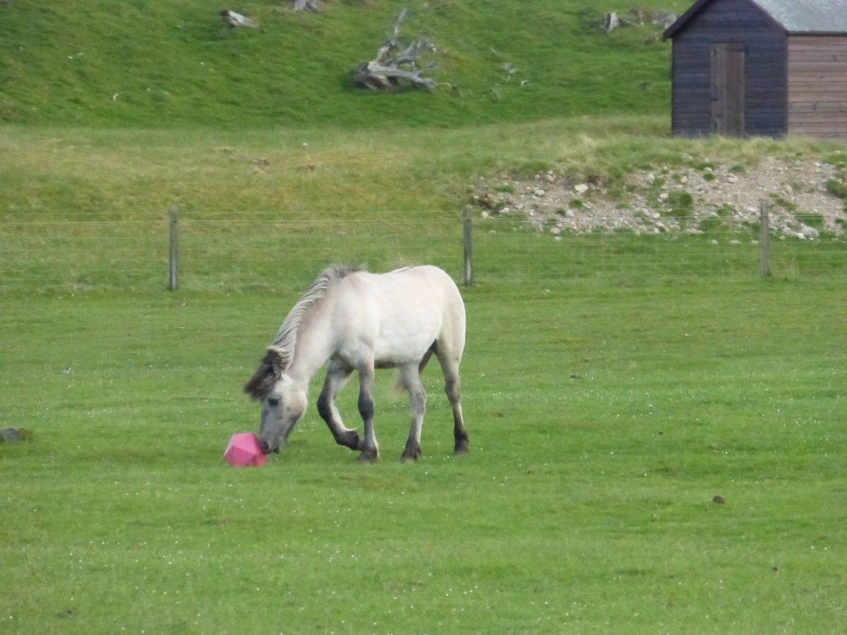
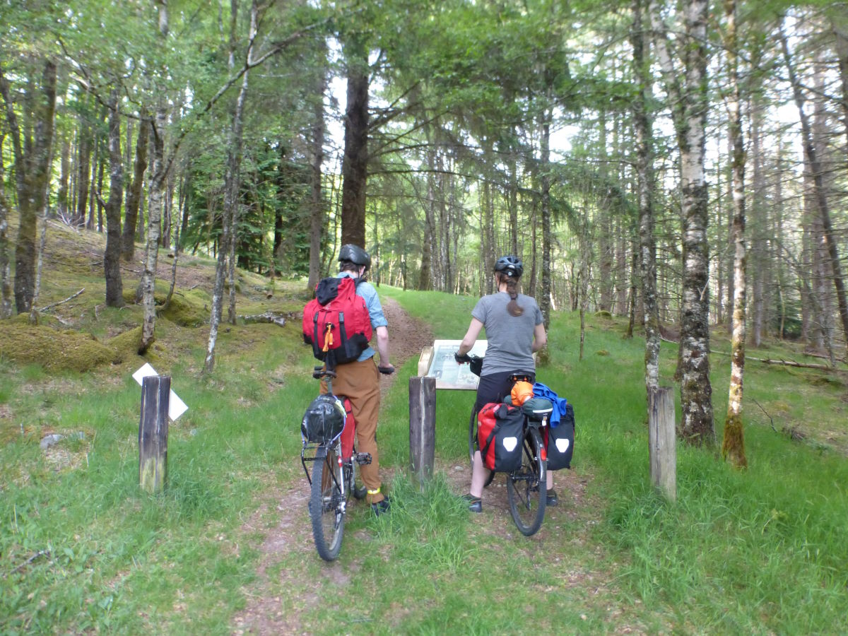
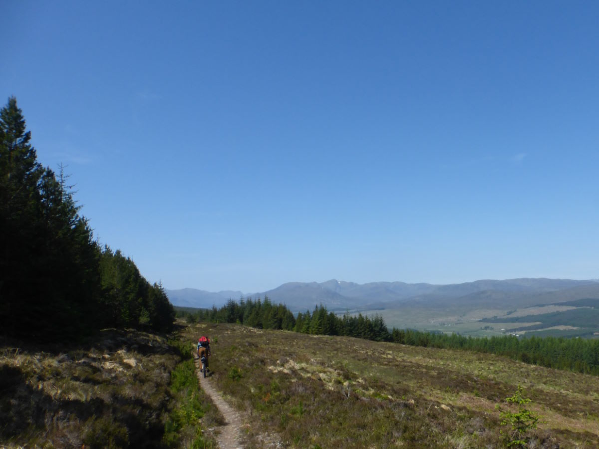
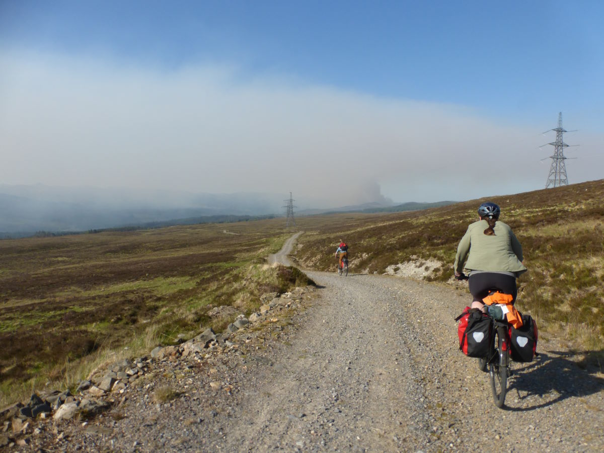
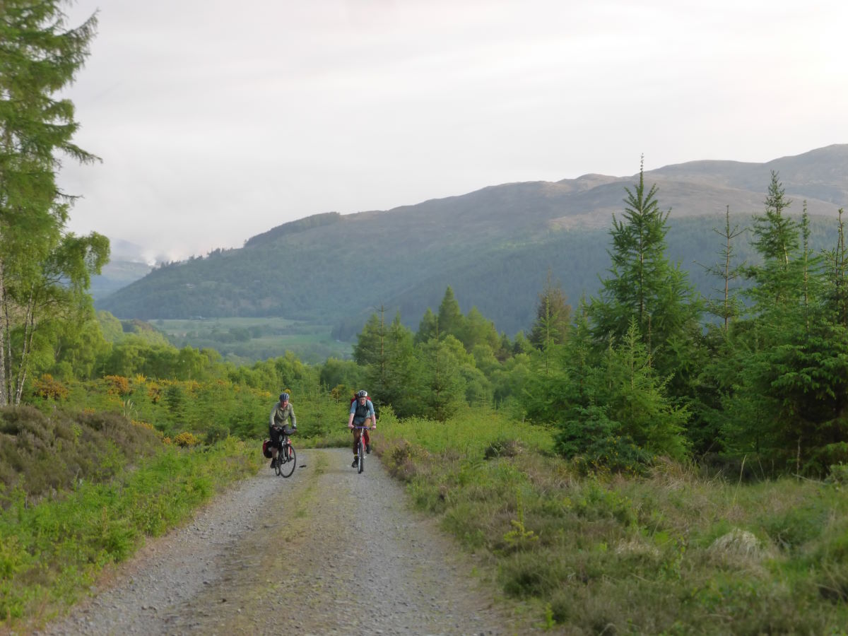
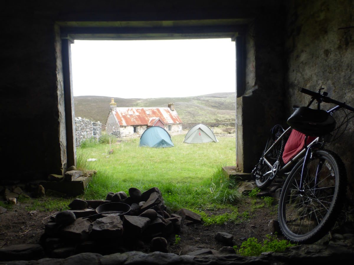
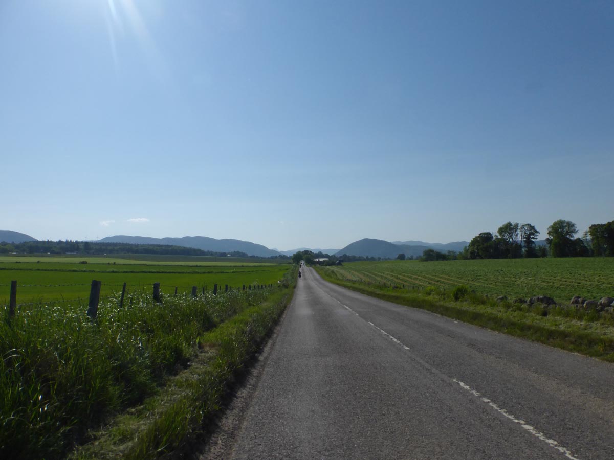
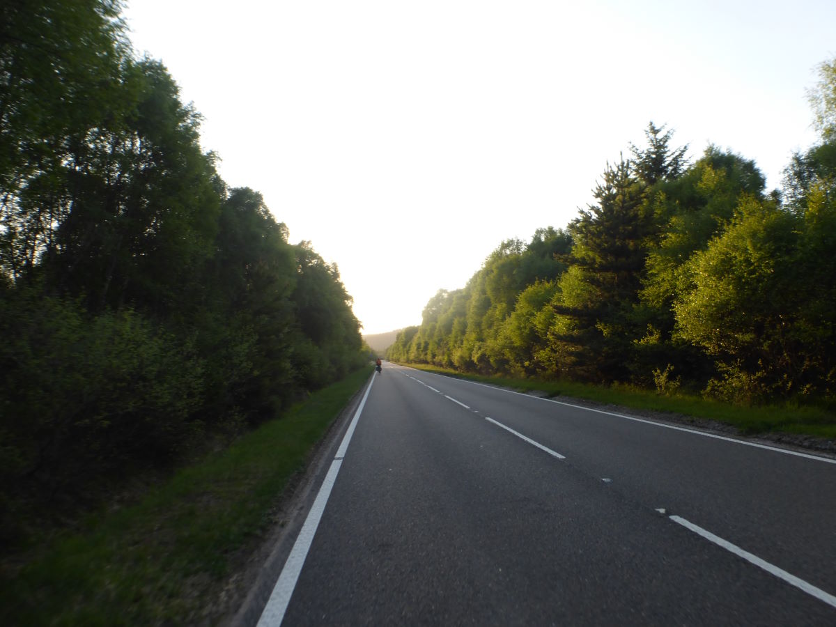
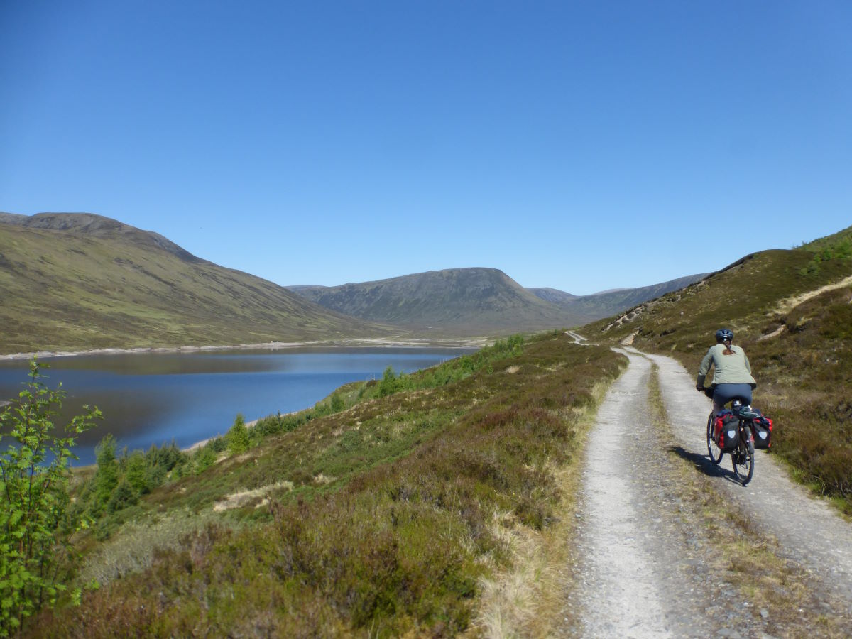
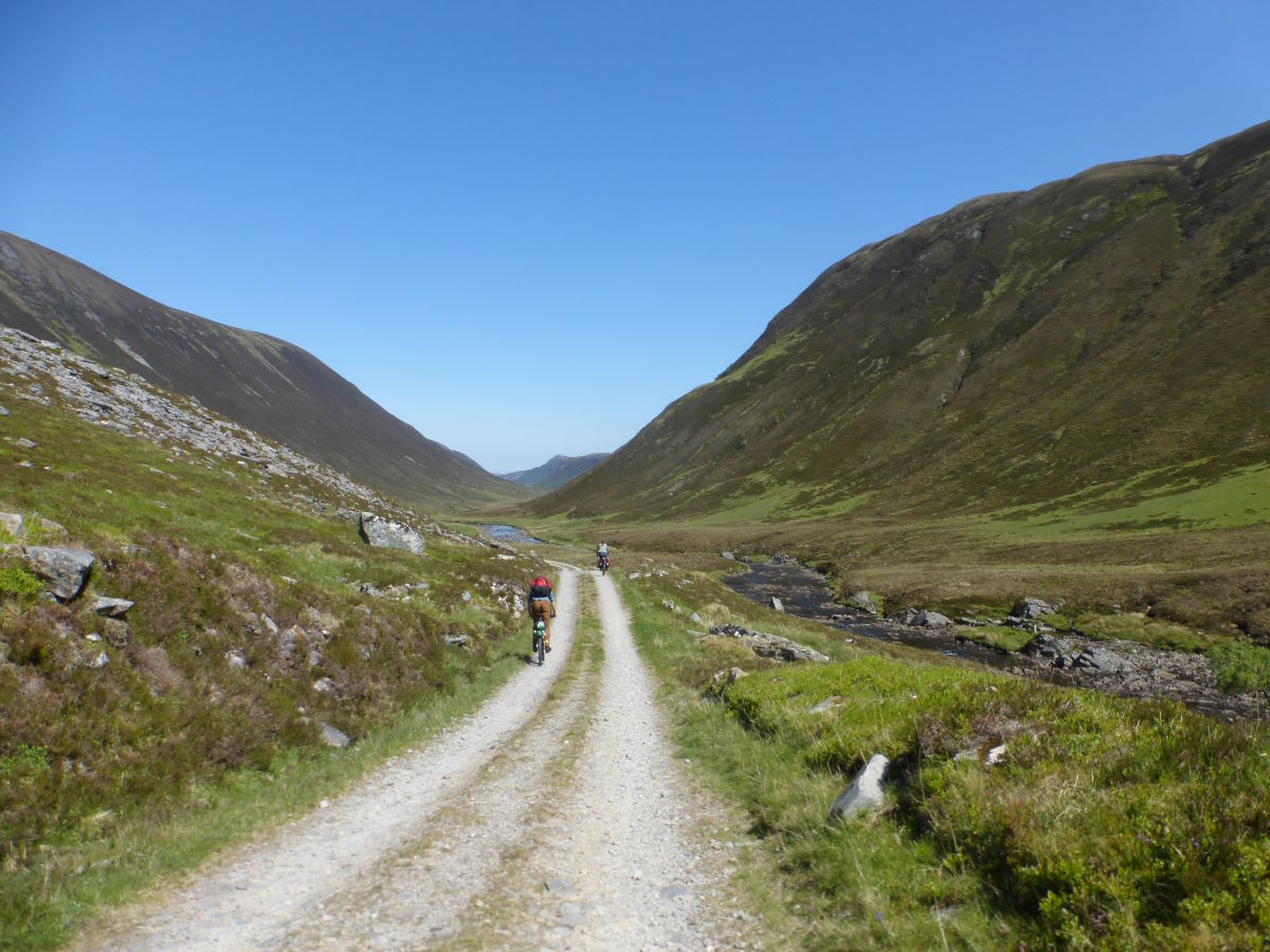
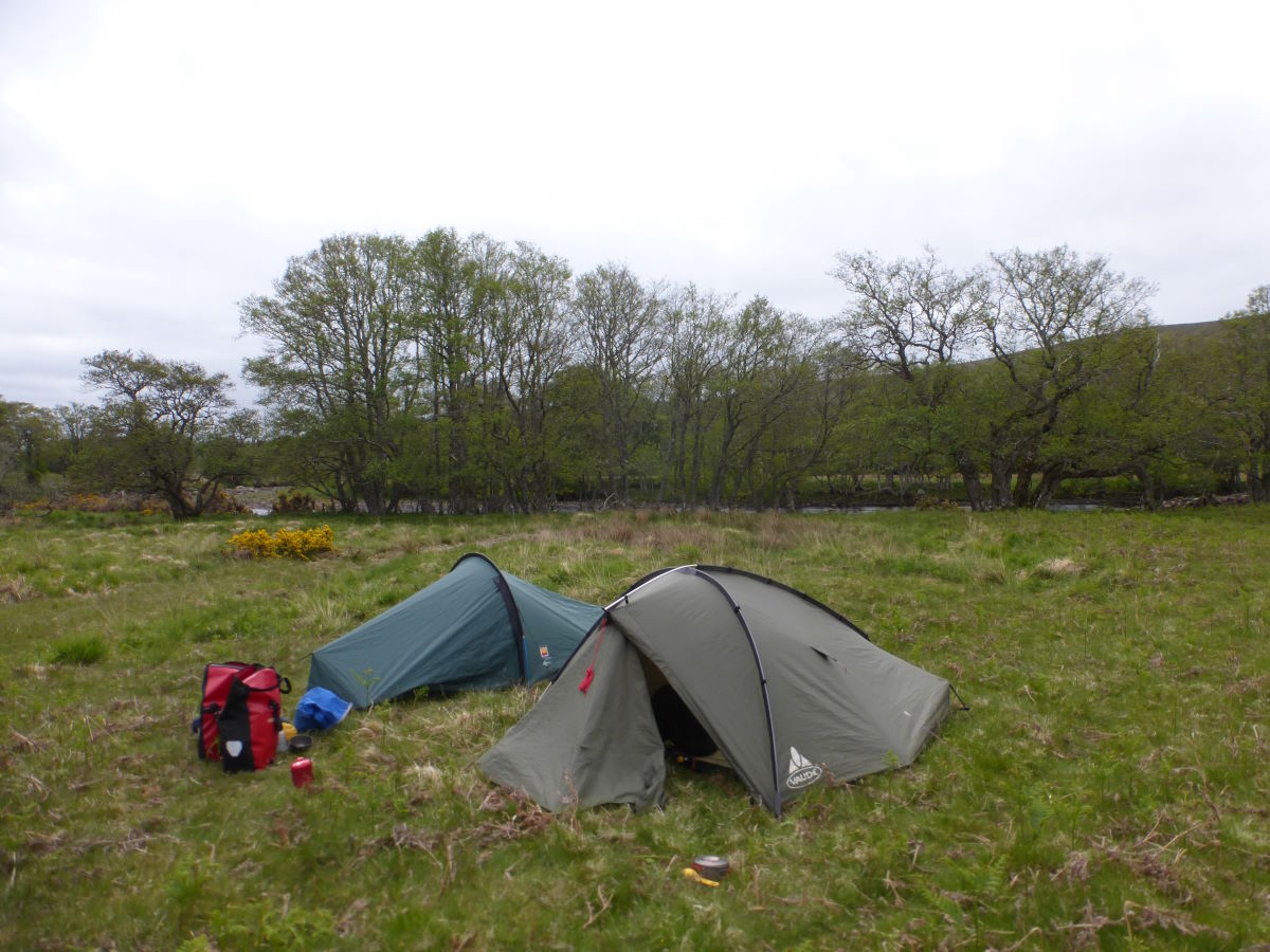
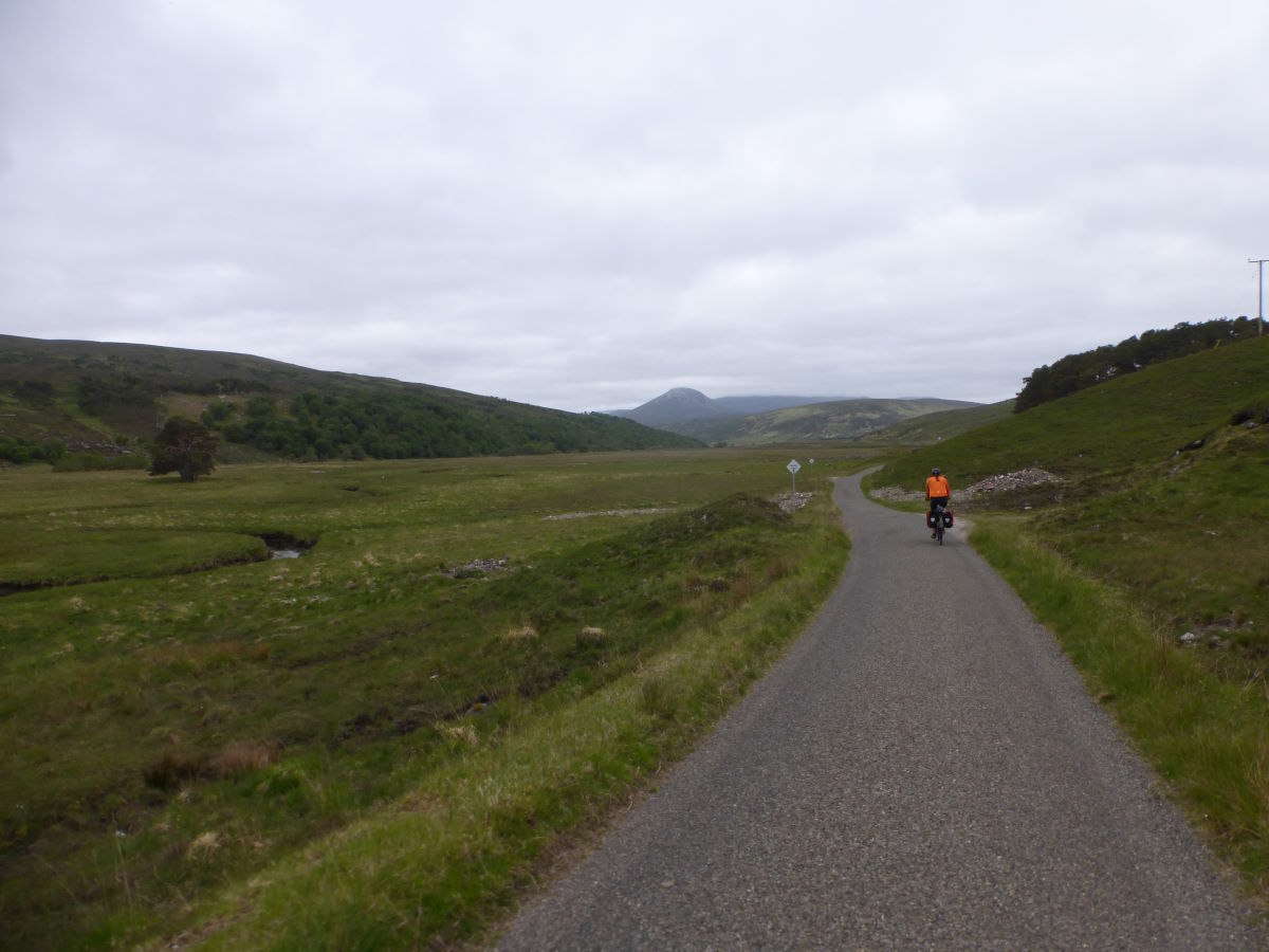
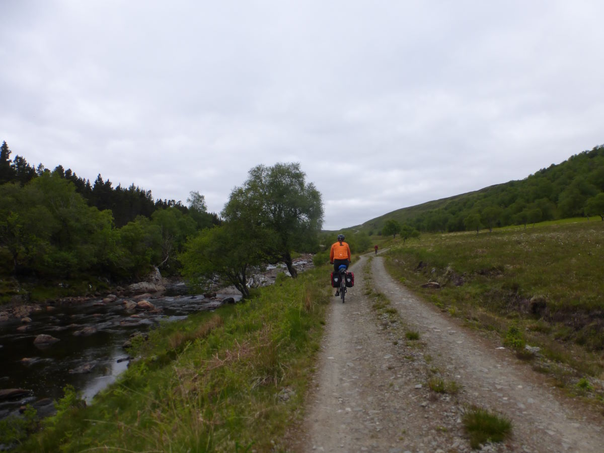
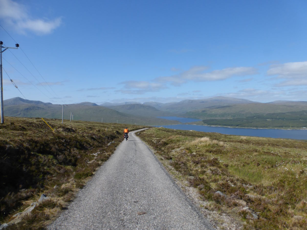
Following a two week hiatus (because I couldn’t get enough annual leave in one go) we’re off again. Fortunately that gap has given a chance for the legs to recuperate and a couple of modifications to be made to our packing set up so that Robbie’s seat bag is no longer rubbing against his frame. It’s a bit of a faffy start as we need to drop a car in Fort Augustus (part of the getting home plan), finish last minute packing, and then set off cycling back up the A86 to re-join the main route. Fortunately the road is not too busy and not as steep as I’d thought. We play bottle hunting - trying to find a slightly larger one for the water filter, but while there is no success in this department we do gain a bright orange flag. We make it as far as Laggan Dam where we opt to climb over a gate (which then becomes three gates) to pick up the forest tracks. Back on the main trail at last the riding is good and it feels great to have escaped the cars and be properly underway again. We have a late second lunch by Loch Laggan, joined by a few midges. On again a couple of rain showers pass over but otherwise the day is cloudy but dry. Nearing the end of the loch we pass through Ardverikie estate with some lovely specimen trees and a castle, then we’re onto tarmac to zoom along the last part of the loch to a big sandy beach. The sun comes out and we cycle out across the sand with varying success (my chunky tyres definitely an advantage here), feeling like we’re practically on holiday. Rejoining the main road briefly we have a bit of a struggle finding the next track - it’s just off the edge of one of my OS maps so all we have to go on is the book description which is not really adequate for navigation, and there’s no signal to load the online version. After a few runs back and forth along the road we do find it, running steeply up through a couple of gates. Soon it breaks out through the tree line and winds pleasantly through a glen where there are lots of deer, and a horse playing football. We join tarmac on the old line of Wade’s Road and follow this relatively swiftly all the way to the Melgarve Bothy. There’s a support point set up for a MTB event, and the house next to the bothy is full lots of people sat out playing loud music, but they bring up a barrow of fire wood which gets us settled in nice and cosy for a chilly evening.
Day 6: Melgarve Bothy to Glen Moriston 31km/19miles
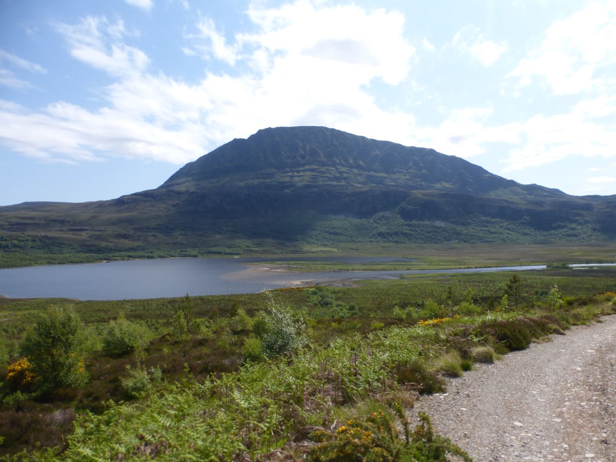
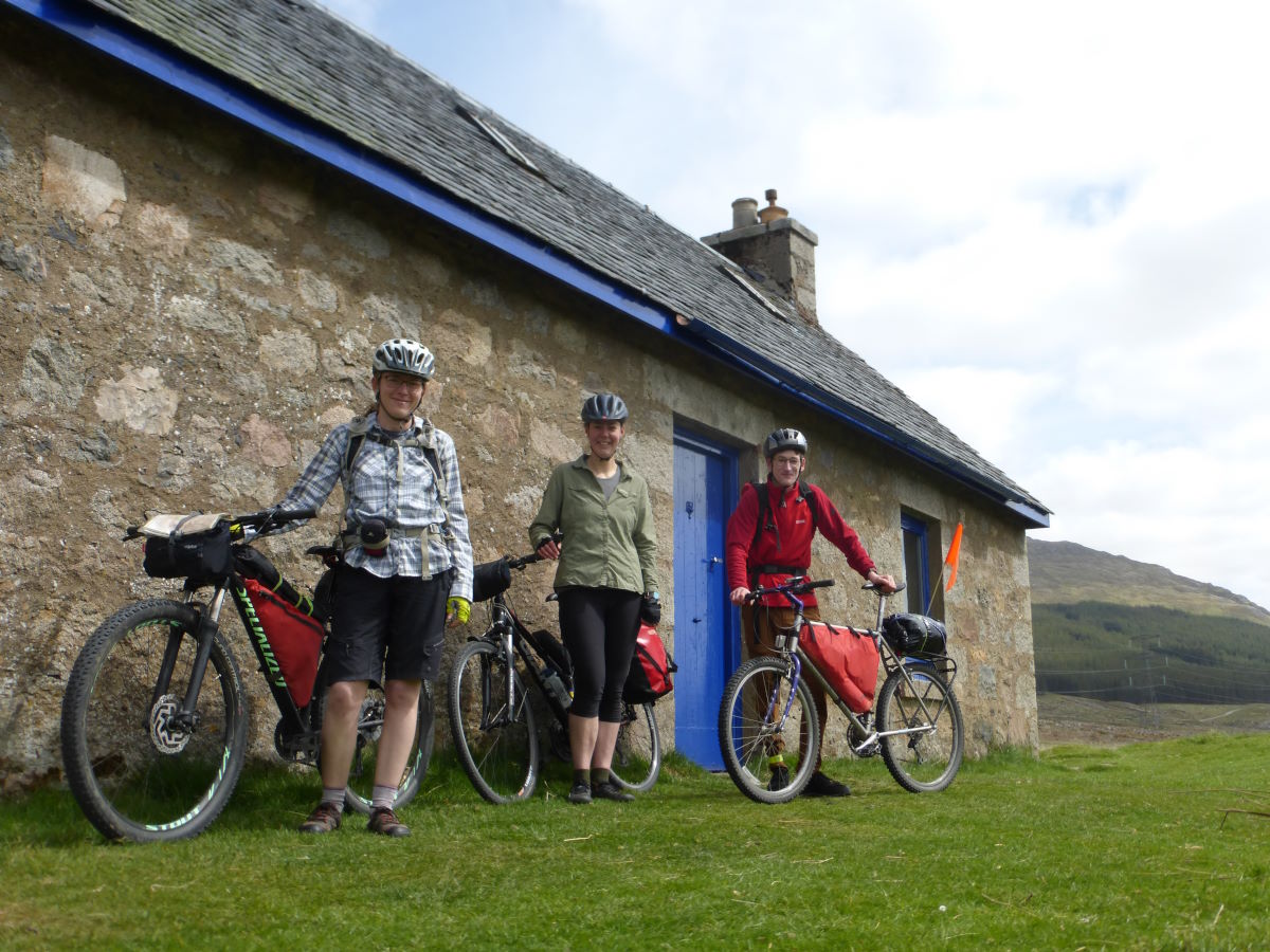
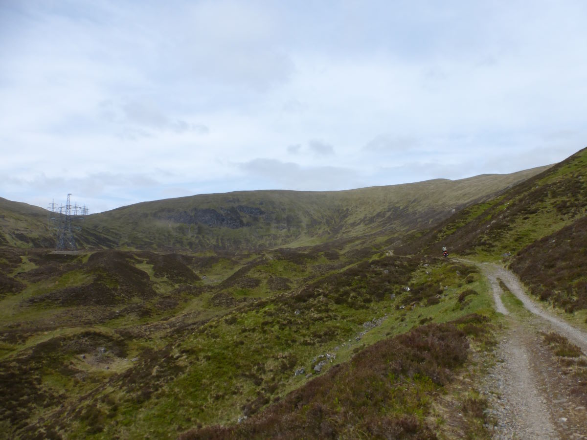
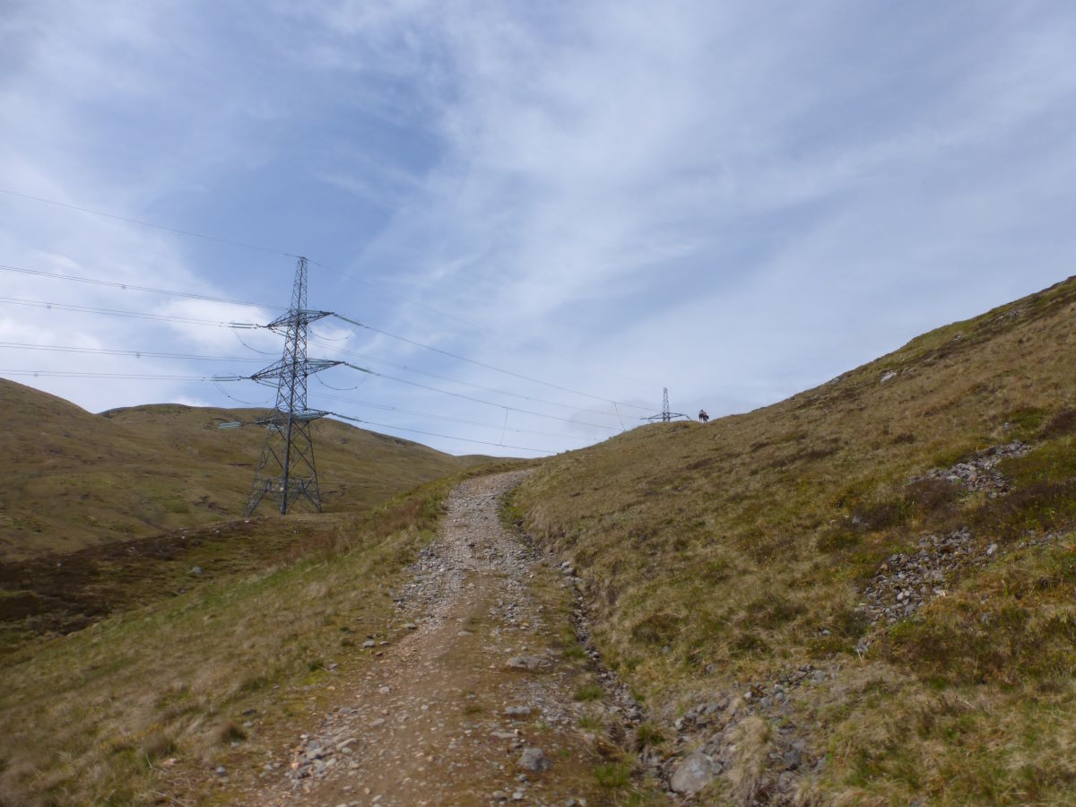
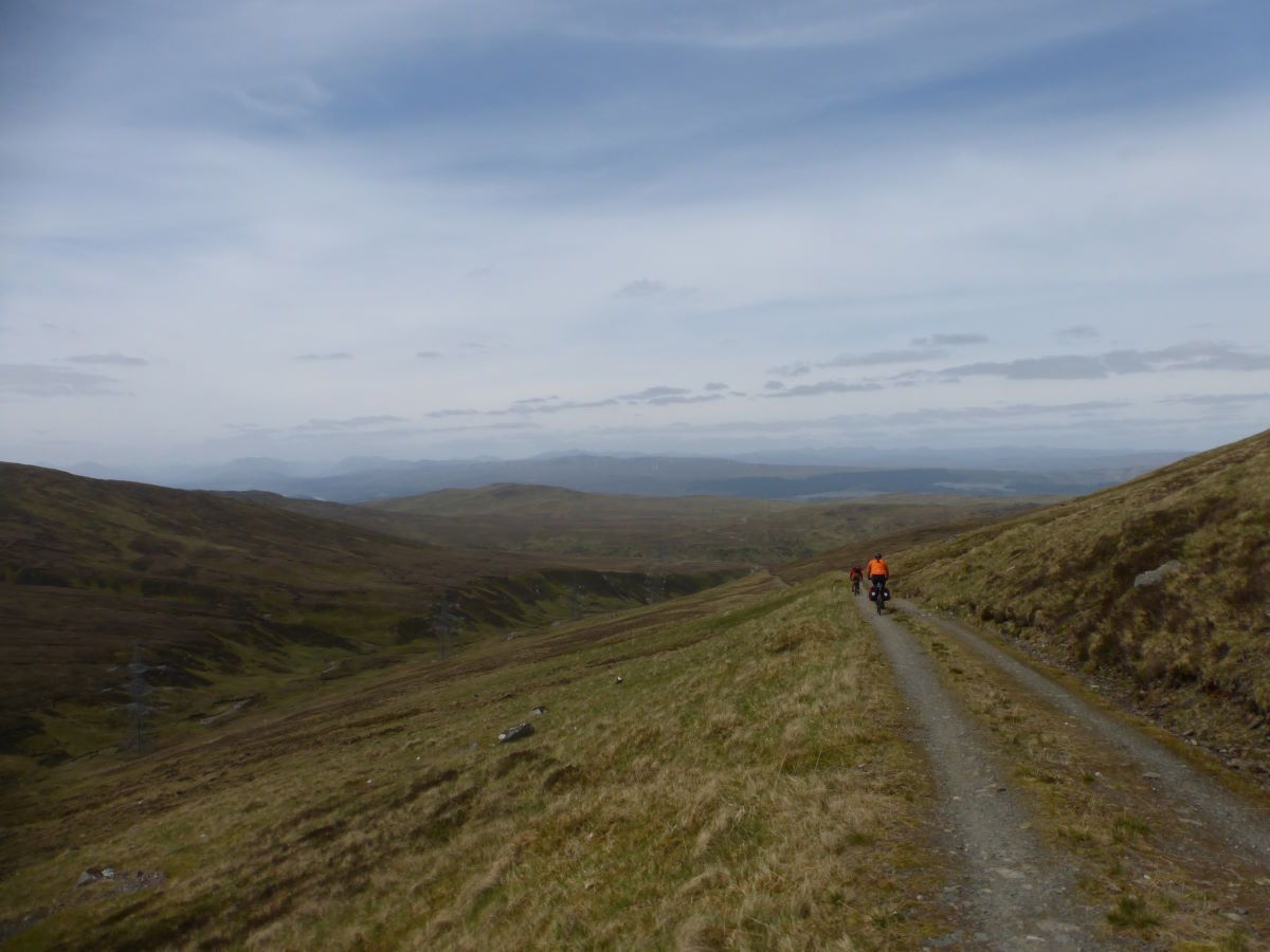
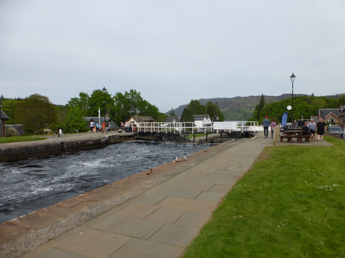
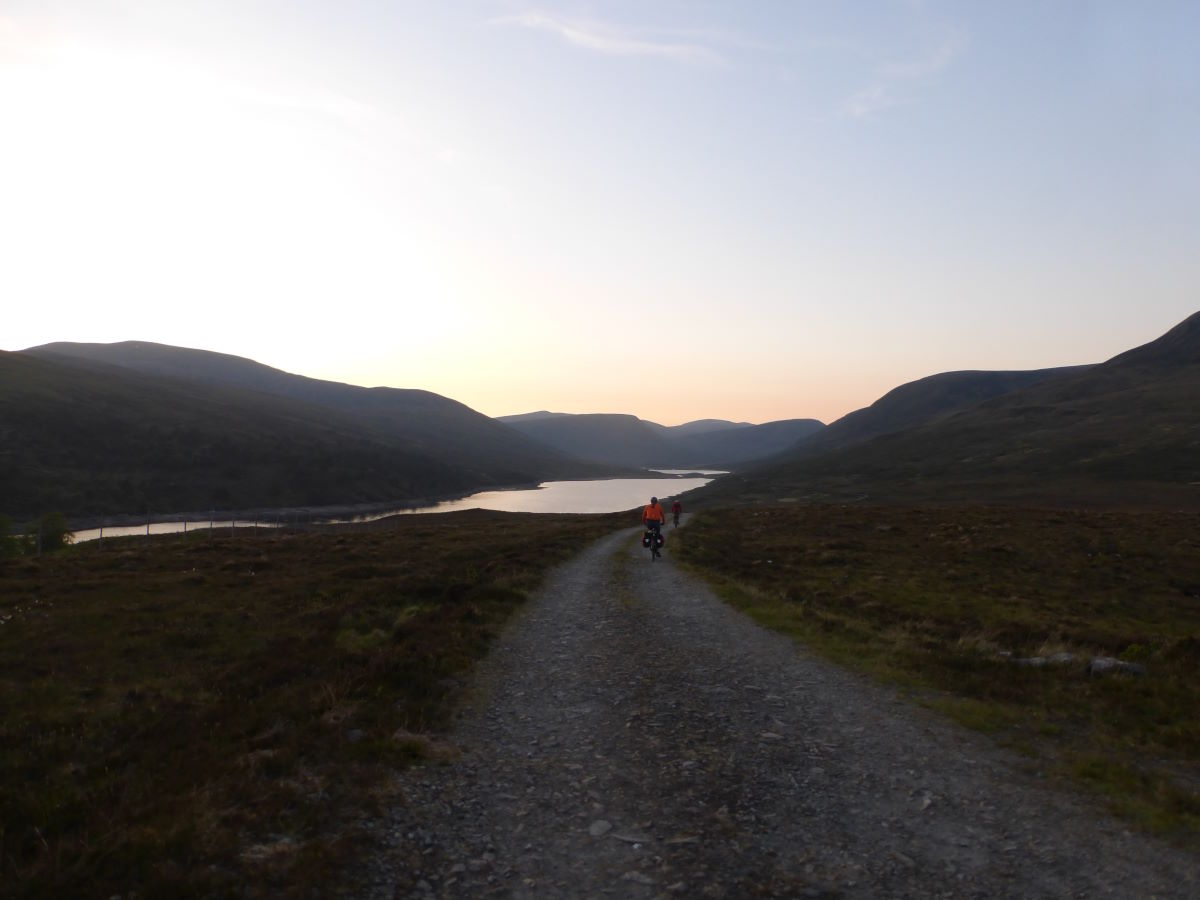
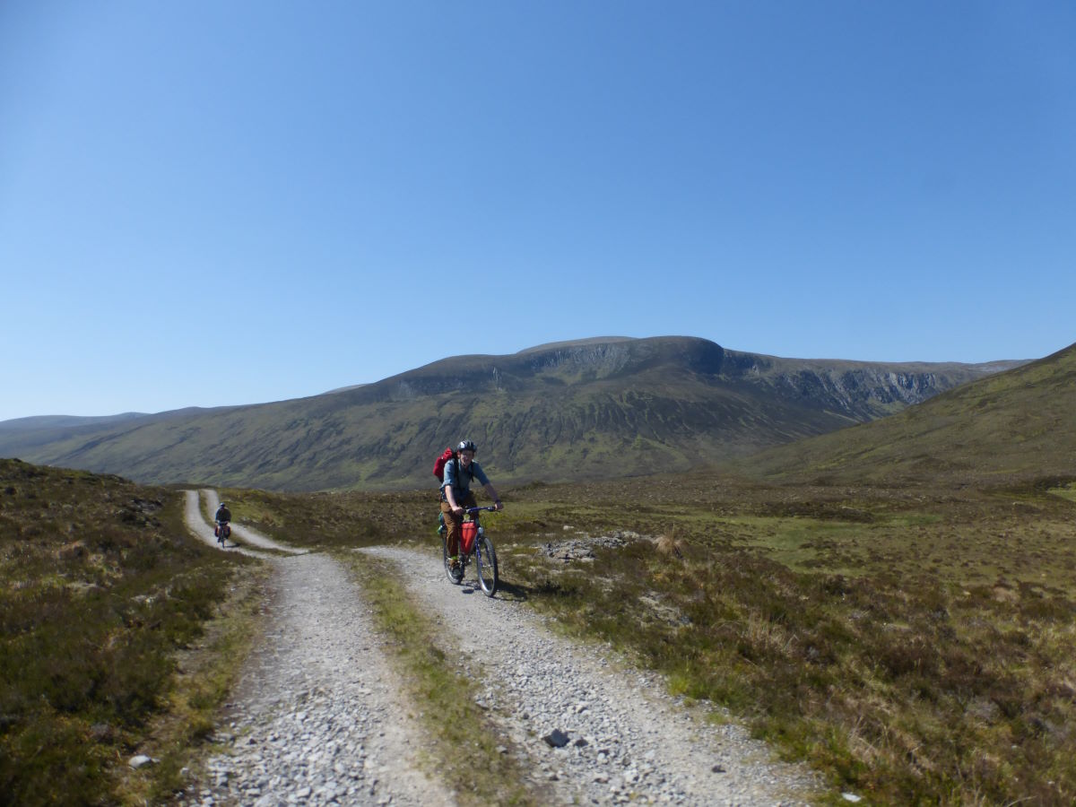
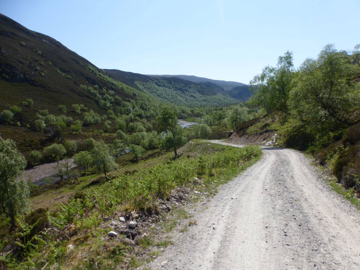
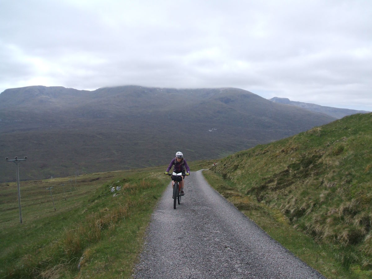
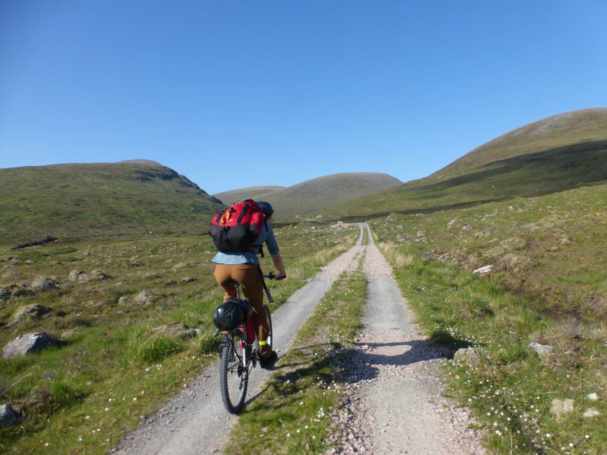
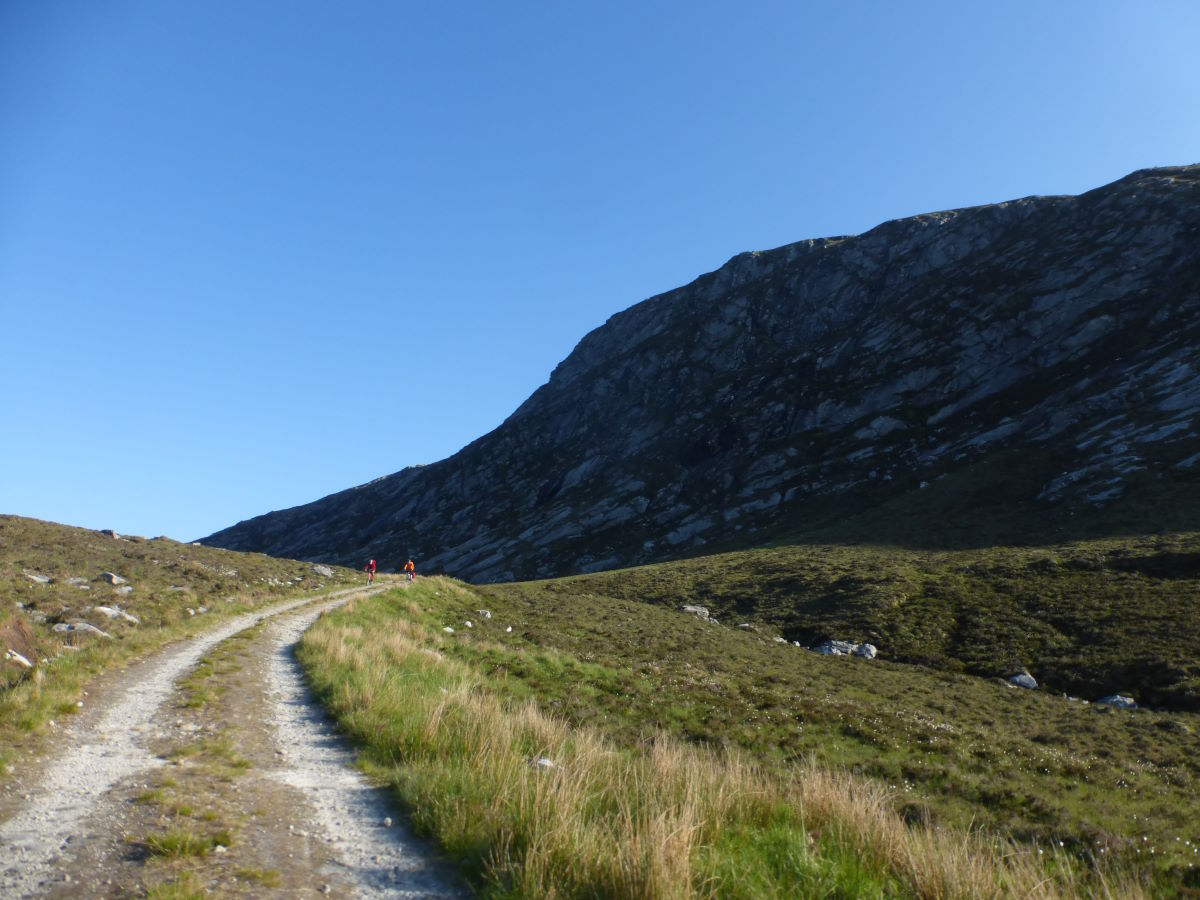
A slow morning with breakfast in the bothy. I watch two fellow cyclists pack their bags, then find they’ve left out something that needed to go at the bottom and pack them again, then realise they'd burried something they actually needed, utter a couple of expletives and do it again, and again. It’s quite an entertaining spectator sport. Then it’s our turn for off and the challenge of the Corrieyairack Pass. The book’s description makes this feel like a daunting task, though reading about difficult routes always seems to make them worse in my mind than they turn out to be in reality. Certainly the initial section is actually very pleasant, the sun is out and it’s a gradual ascent through a beautiful and interesting landscape. The switchbacks however, I am happy to agree are horrible. They’re not actually all that steep, they’re just loose. I do my best to cycle as much as possible, which seems to mean managing the straight bits and coming off at the vast majority of the corners. It’s one of those climbs where the more walking you do the faster (and possibly happier) you are. Certainly Tas looks like she’s just out enjoying a sunny day as I come gasping into view, and 20 minutes later we pull the same trick on Robbie who resembles a slightly dusty beetroot and is really annoyed that he managed almost all of it (the problem being “almost”). At the crest of the hill we meet John who has ridden all the way from Land’s End and is experiencing the mechanical nightmare of a broken freewheel. Sorry, my small bag of bike tools has precisely nothing that can help with that. We get the chain off to give him essentially a very technical balance bike and wave him off down the hill. Stocked up on chocolate brownies we follow for a long gravel descent, dropping 700m all the way down to Fort Augustus. It’s fun and fast though I have to stop a few times to rescue my rear mud guard which keeps vibrating its way down onto the wheel (probably something to do with the tent strapped on top of it). Back in civilisation we enjoy a mid afternoon fish and chips by the locks, with lots of juice to stave off the dehydration. Then after a fair bit of sitting about and feeling very full we’re off for the next climb. Fortunately this is a well compacted forest trail which is much easier than the loose gravel of the pass and it passes surprisingly quickly. Out of the top of the trees the sun is blazing and it’s a gloriously warm evening. We turn onto single track and bounce our way over some tussocks to a delightful stream where we set up camp for the night and promptly become midge food.
Day 7: Glen Moriston to Tighachrochadair 53km/33miles
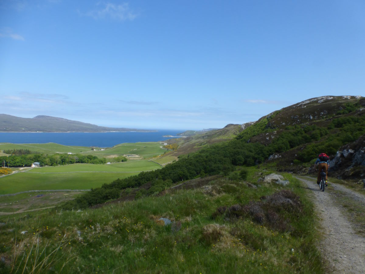
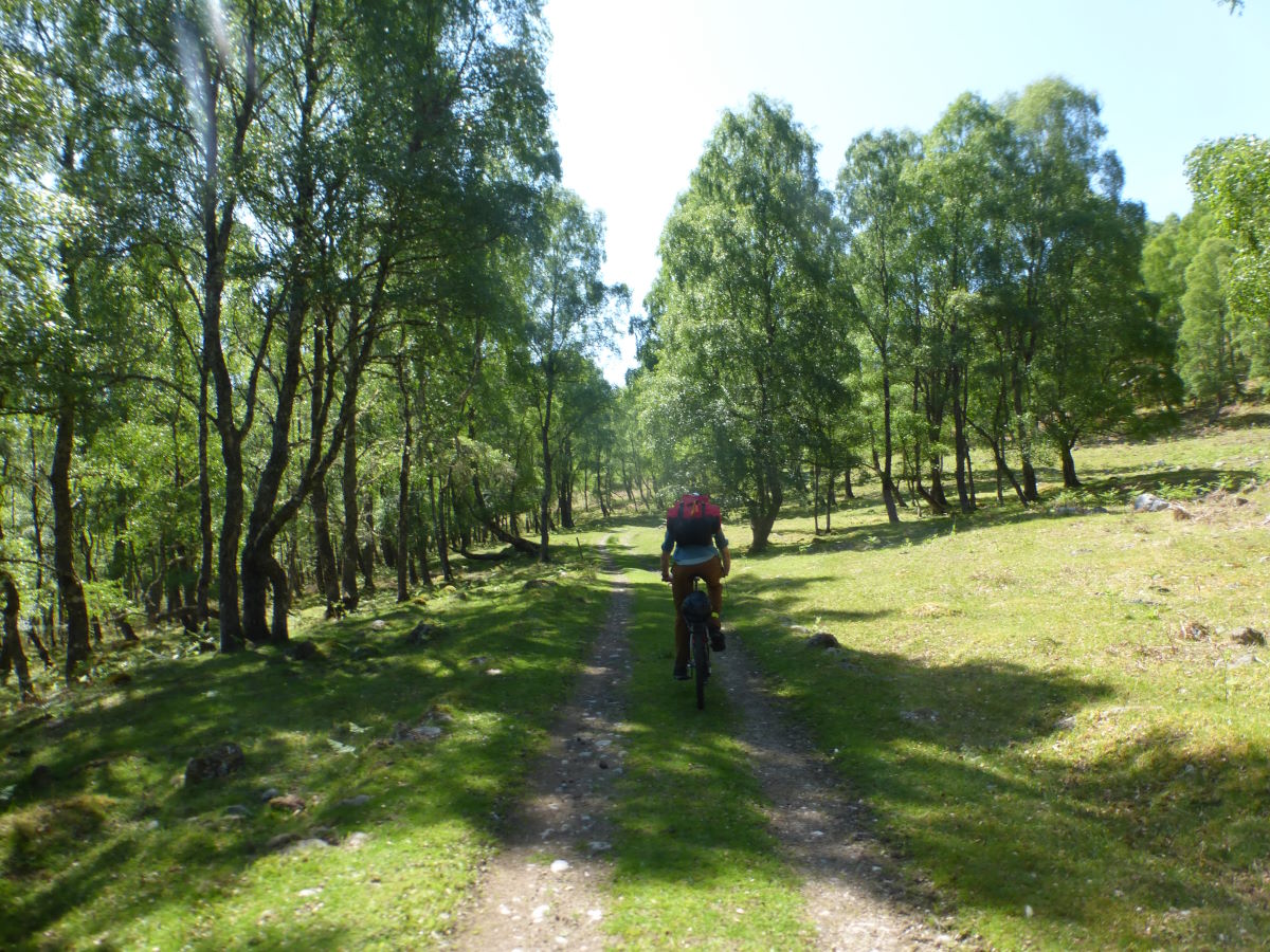
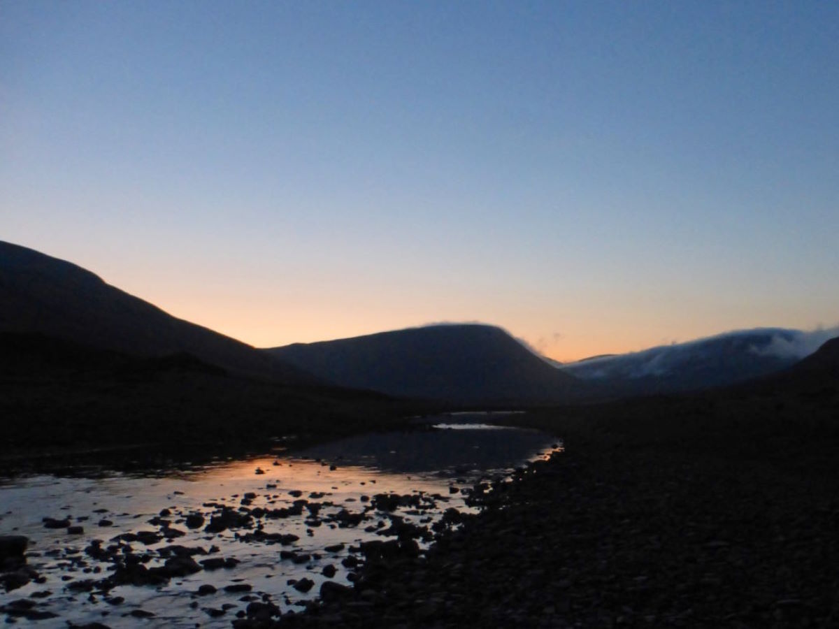
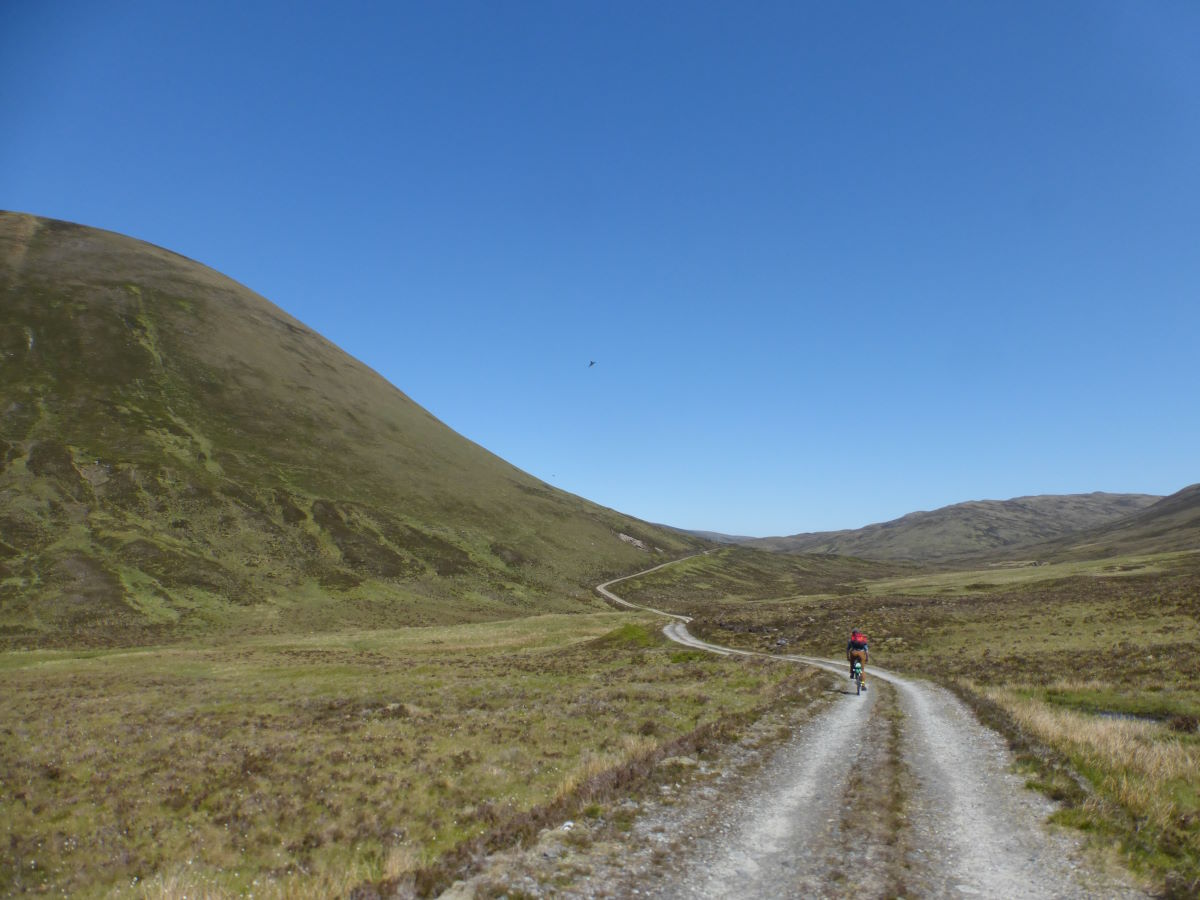
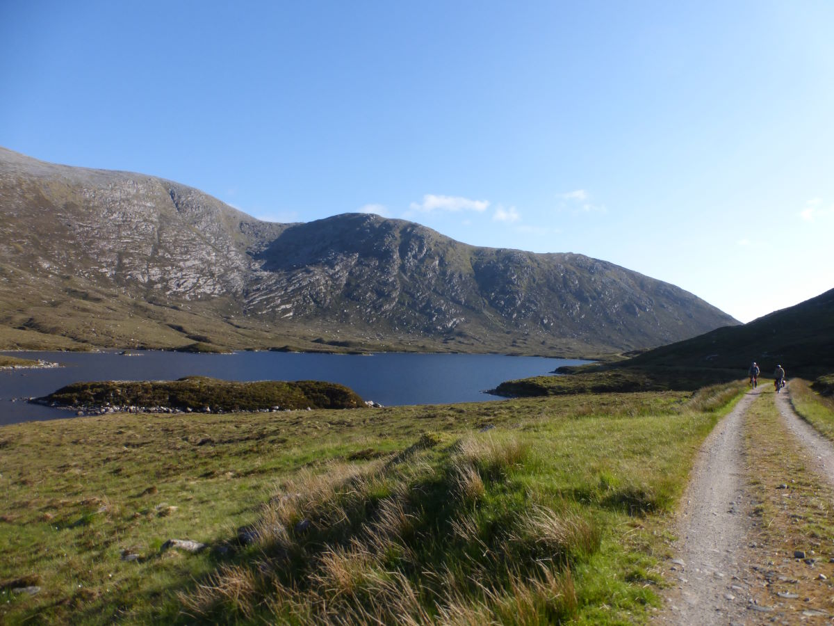
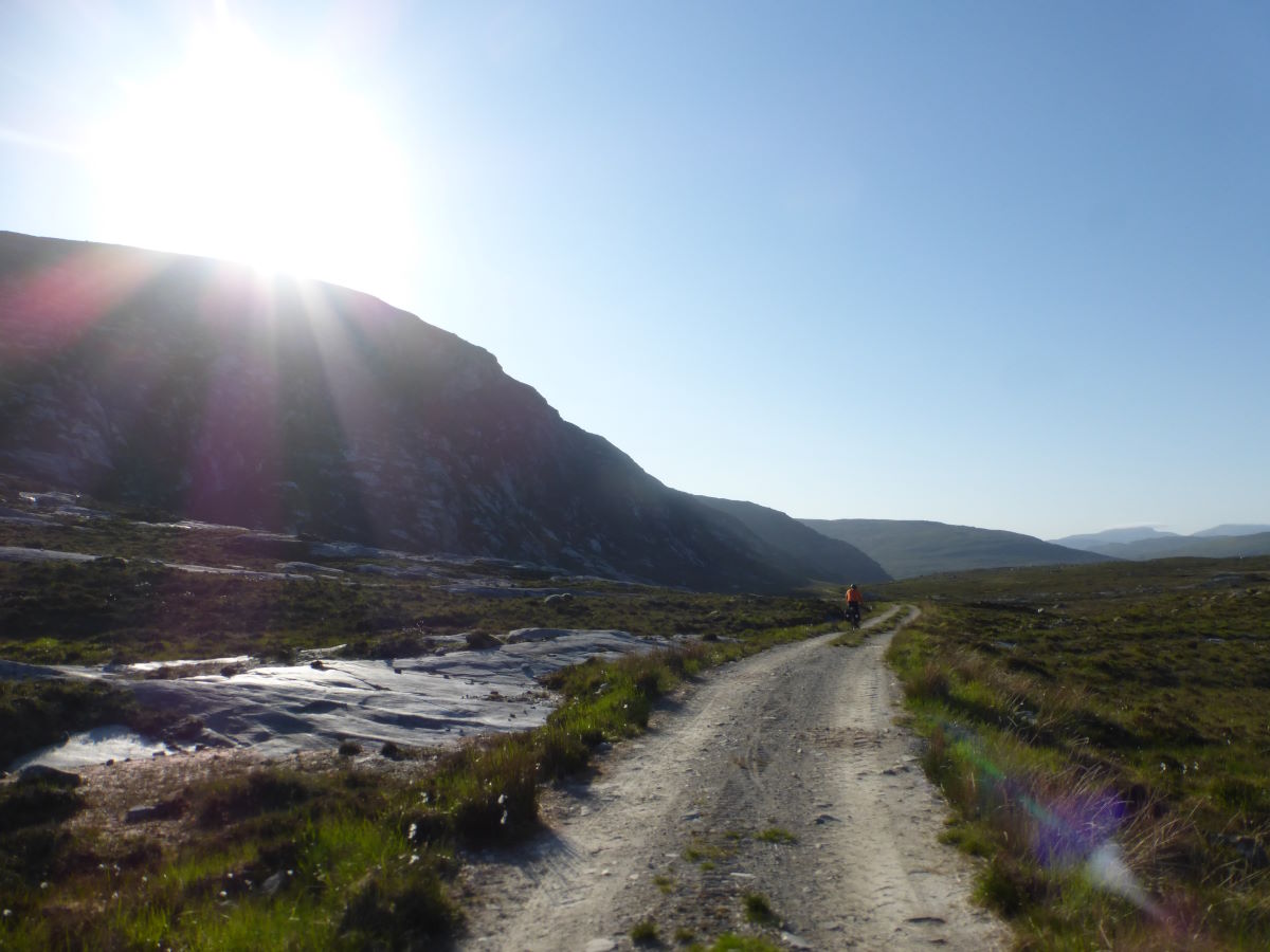
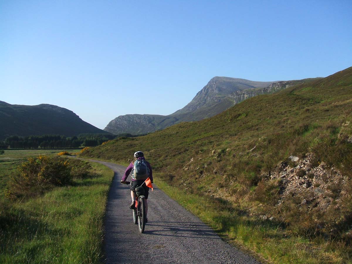
Our little stream-side camp is a delightful spot to wake up to. The sun is shining (again!) and there is just enough breeze to stop the midges building up too badly. We enjoy a leisurely breakfast then pack up for the descent to Glen Moriston. The first part is a fun single track through the trees with lots of tussocky bumps and (briefly) a big open view over the glen, followed by a smooth gravel descent where it’s easy to pick up the speed and really feel like you’re flying. Down at the road we turn right for a brief detour to the newly opened Dundreggan Rewilding Centre. It has an excellent café and several walks of which we pick the shortest. It’s full of juniper and a very dry waterfall. Back to the café we fill up on tiffin for the road and then off for the next pass in blazing hot sunshine. Cutting the corner we find our way barred by a 6ft locked gate but we’ve had practice and with three people (one at each side and one on top) the bikes are lugged up and over with relative ease. After this comes a lot of up. It’s fairly unrelenting, and steep, and did I mention the blazing sunshine? But I’m nothing if not stubborn and manage to cycle it all, even if I am a bit of a dehydrated husk by the top. There's a saying about only fools and Englishmen going out in the midday sun, but Robbie's not English and Tas and I are not men therefore maybe were just simple fools. Or is it mad dogs? Certainly we’re far too hot and desiccated to want the Tiffin. Laboriously filtering some slightly dodgy looking stream water gives us chance for a break and then we’re off again down the other side. The descent is beautiful, passing down into regenerating woodland, though the surface is a little loose and hairy at times. Ahead of us a big dark cloud turns out to be smoke from huge wildfire (which ultimately burned through 30 sq miles of wood and moorland and is potentially the largest wildfire ever recorded in the UK), the smoky haze turning the sunlight to an evening gold. The Tiffin is finally eaten by a beautiful lily pond at Hilton Lodge and then there’s a long fairly easy section of single track road passing big trees and a delightful river. Deciding to push on and get further from the fire we munch down some oatcakes on the bridge at Struy then head on up the next pass. It’s getting late and the sun is starting to set over the tops tinging the sky with pink. It’s lovely riding, more dirt than gravel but so dry it hardly makes a difference. Despite this we’re all flagging a bit after a long hot day when Tas commits a bit too hard to a bump and gets a puncture. Down go the bikes and out come the tools. Determined to make the most of that sunset it’s a whirl of efficiency to get a new inner tube in place and the tyre pumped back up. Onwards. We crest the top of the pass, the sky melting deep orange into inky blue, the first stars starting to twinkle behind us. On still, it’s a couple of km to where the guidebook mentions a bothy and I’m torn between wanting such a beautiful sunset to last forever, and wanting curl up in my sleeping bag and rest. Unfortunately at this point Fate decides that we were just a bit too efficient dealing with that puncture and throws us a new challenge in the form of a snapped chain. This we do not have the tools to deal with… (Chain tool/quick-links have since been added to the compulsory bike packing kit list) But we’re at the top of a hill and the Tighhachrochadair bothy is down so we can deal with it in the morning. It’s a serious struggle to find the turn off, and even more so to follow the “track” down through the heather in the growing dark. The “bothy” turns out to be a locked and abandoned looking house but there’s a barn with a couple of stools which makes somewhere cosy to sit and eat dinner, and a lovely flat bit of grass just outside for the tents. The shop at Cannich closed about 5 minutes before we got there so dinner is noodles and onion bhajis which works surprisingly well (or maybe we’re just hungry). We finally fall into bed just after midnight. There is still a hint of light in the sky.
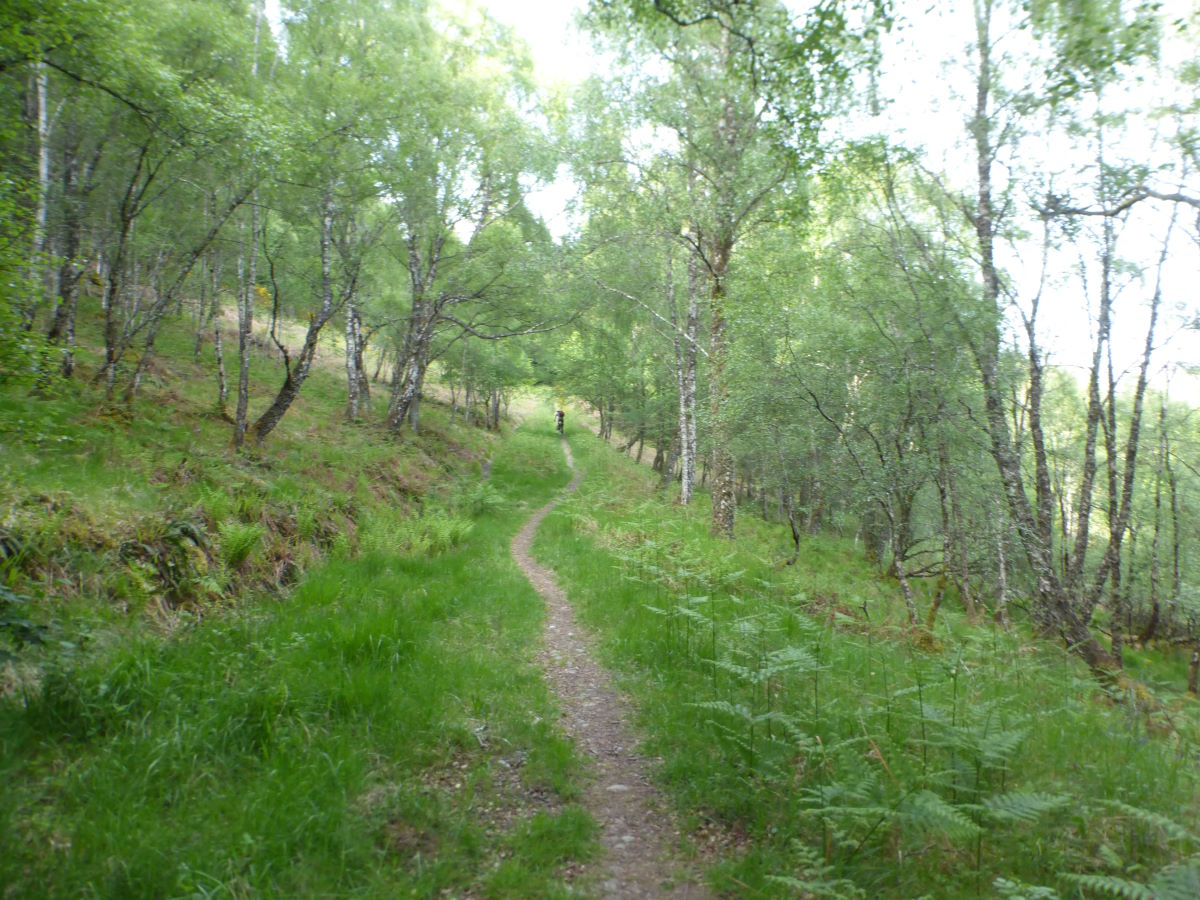
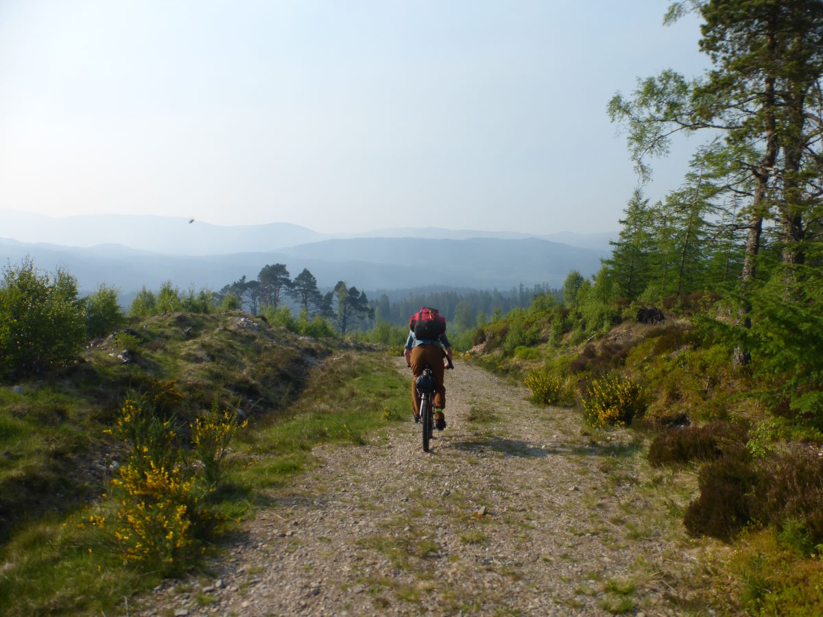
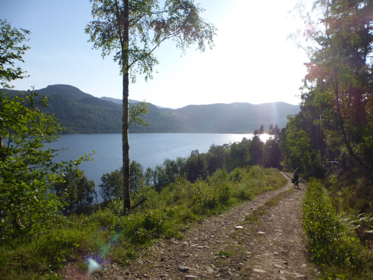
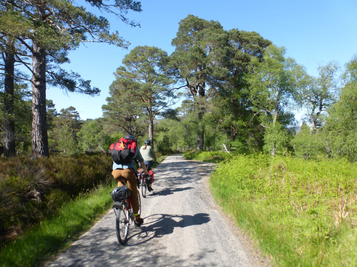
Single track descent to Glen Moriston
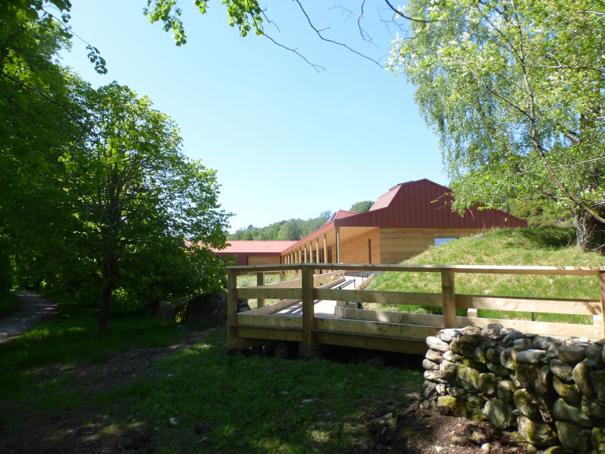
Dundreggan Rewilding Centre
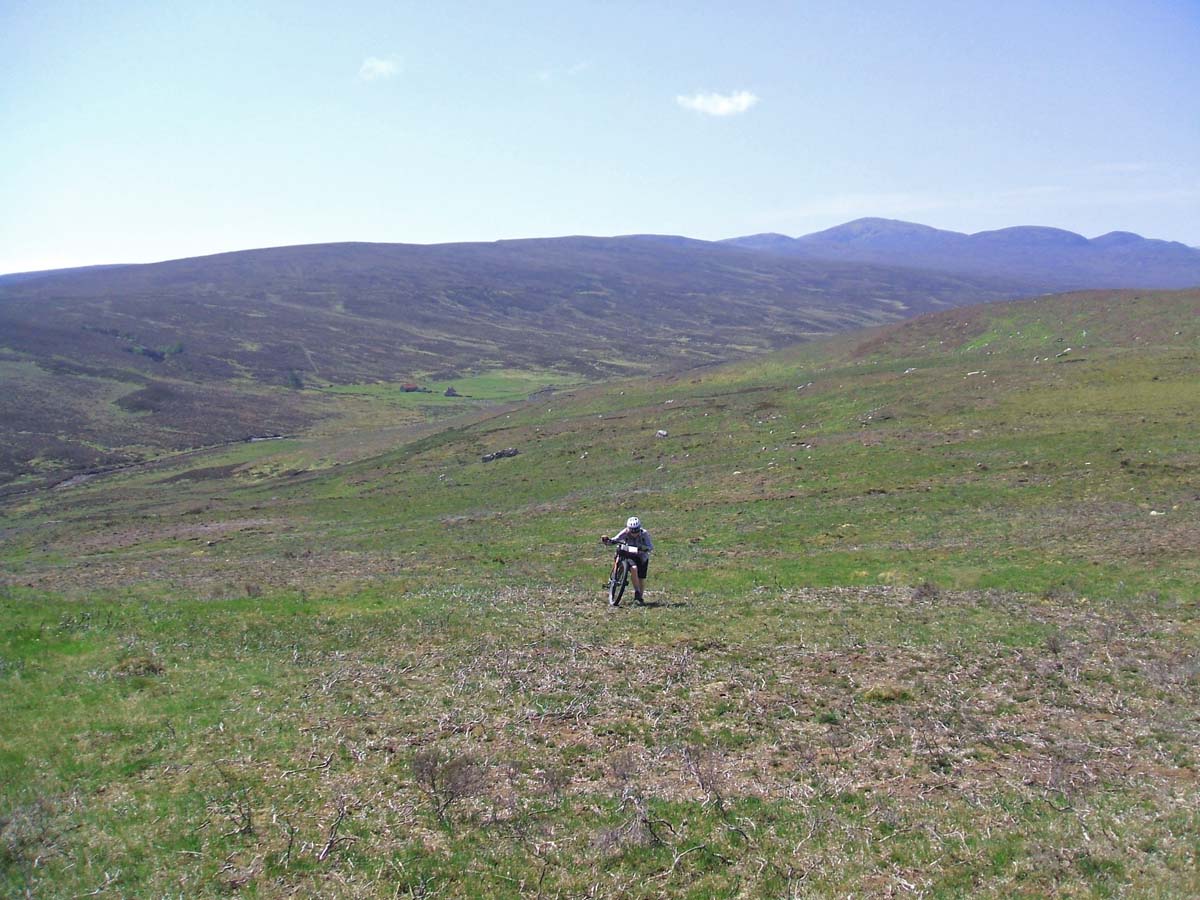
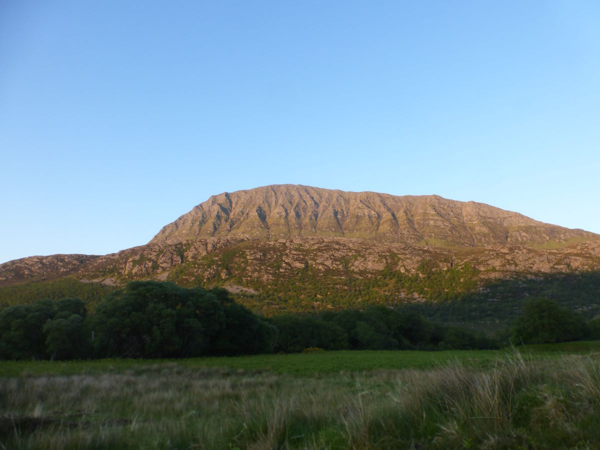
A briefly wooded start to a very long climb
A long and very hot looking up
Over the top, wild fire ahead
Descending into Glen Affric
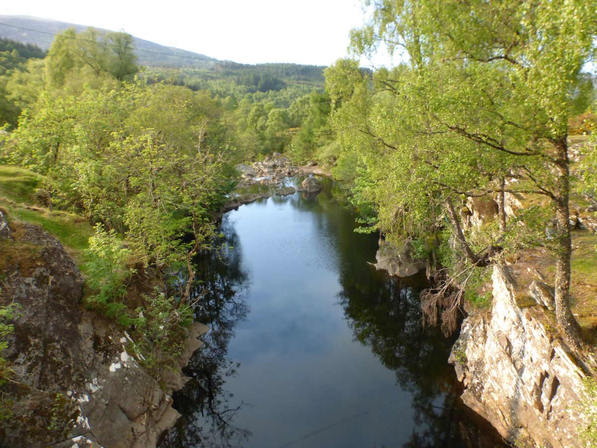
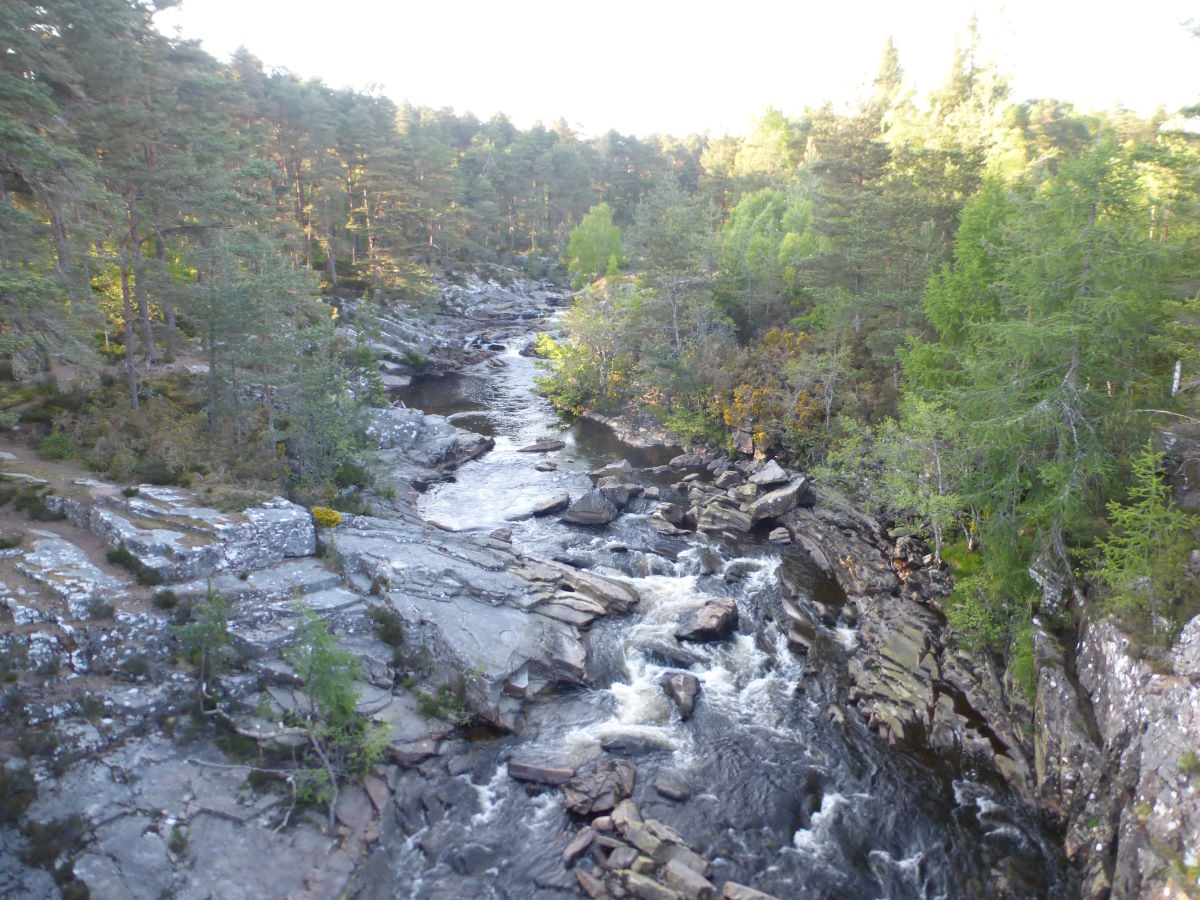
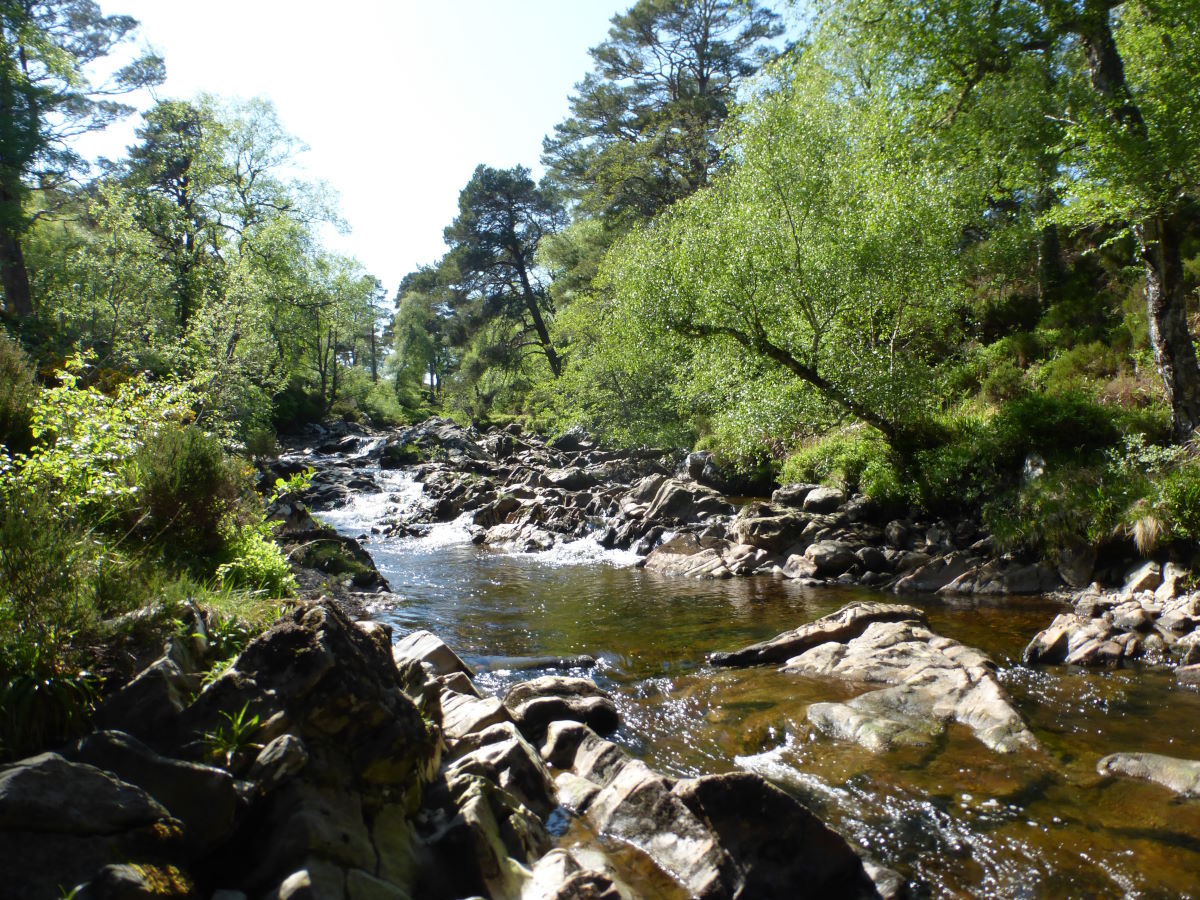
River Affric
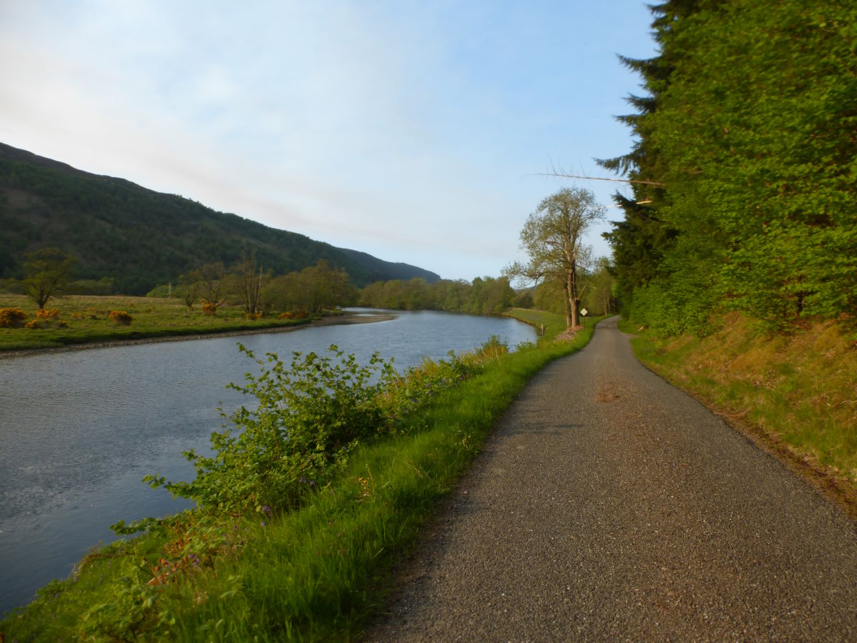
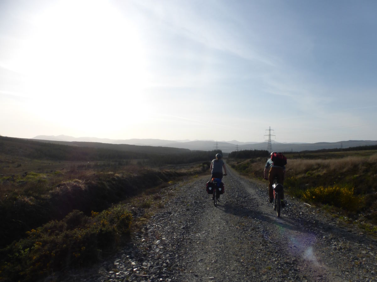
Smooth roads through Strathglass
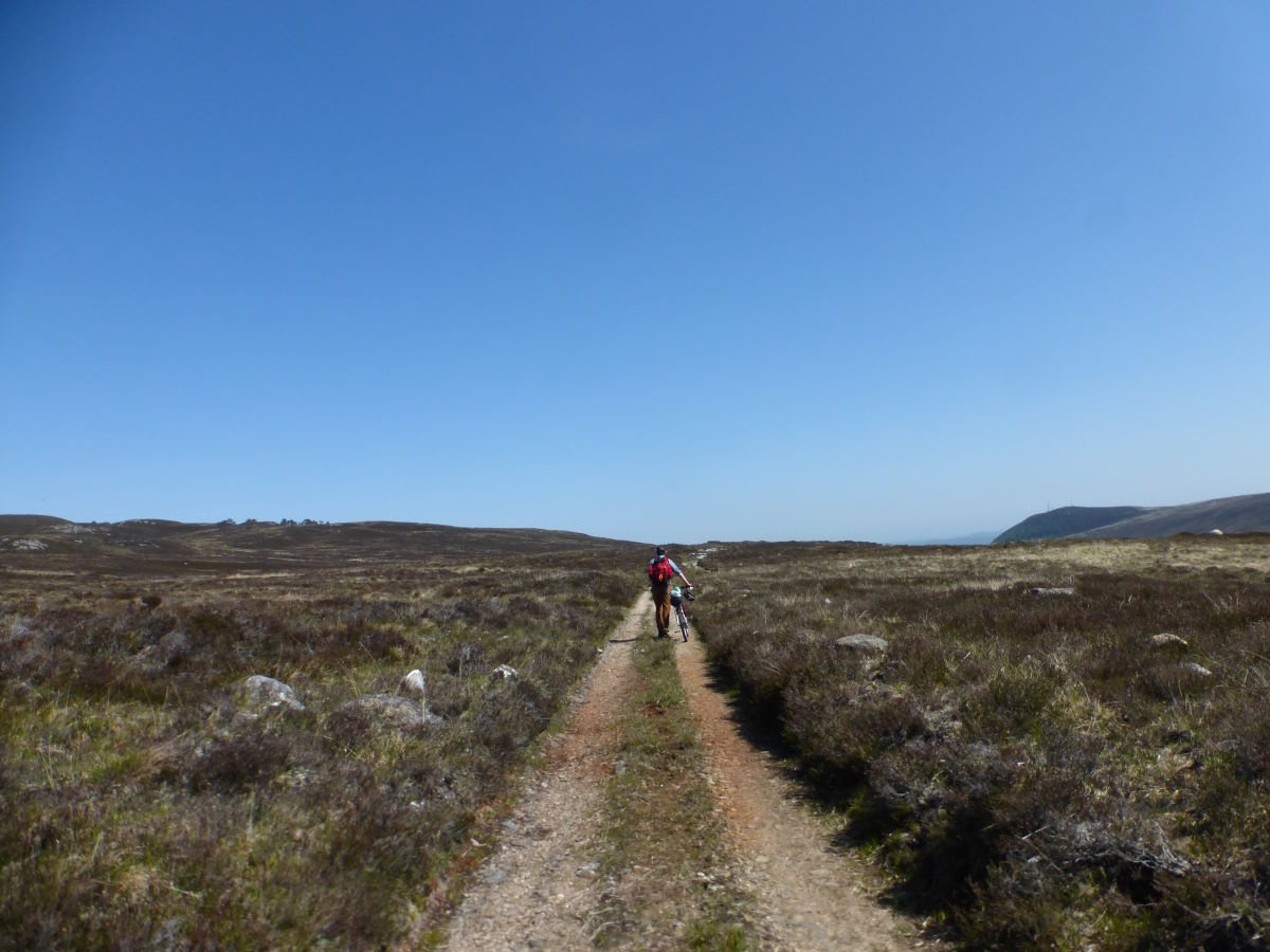
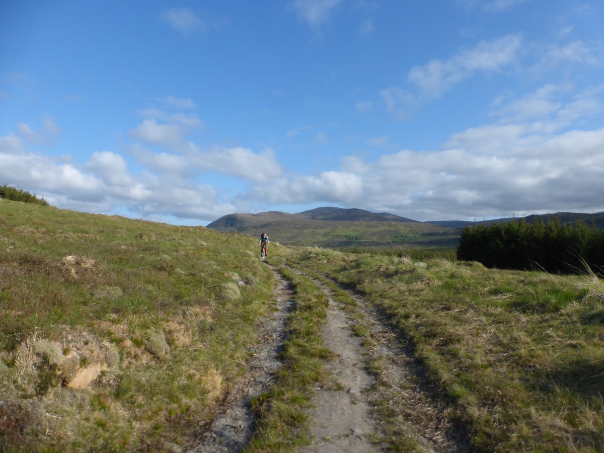
Climbing up towards Gleann Goibhre
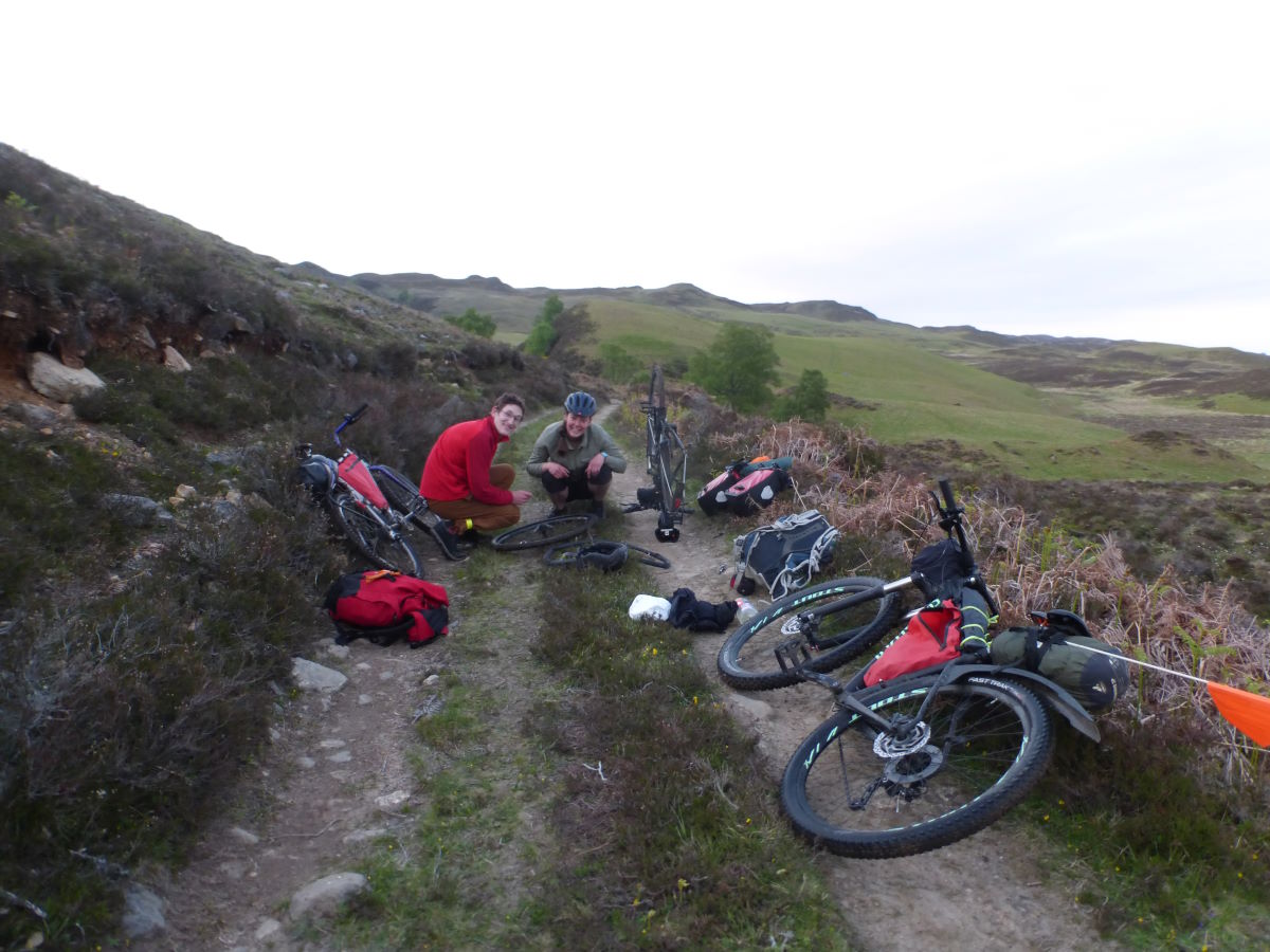
Puncture repairs
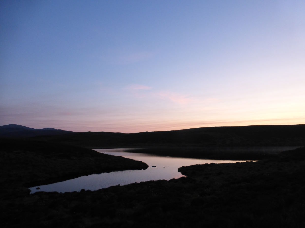
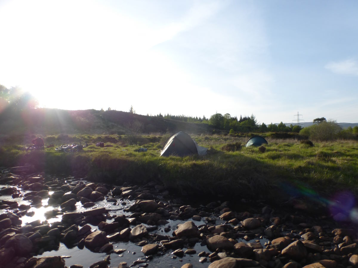
Tiny but beautiful Loch Ballach
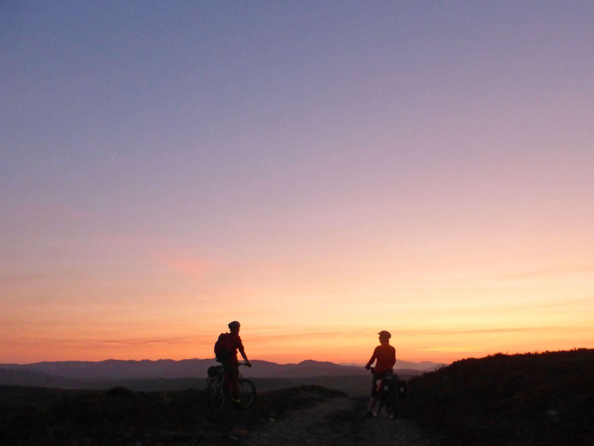
A perfect sunset
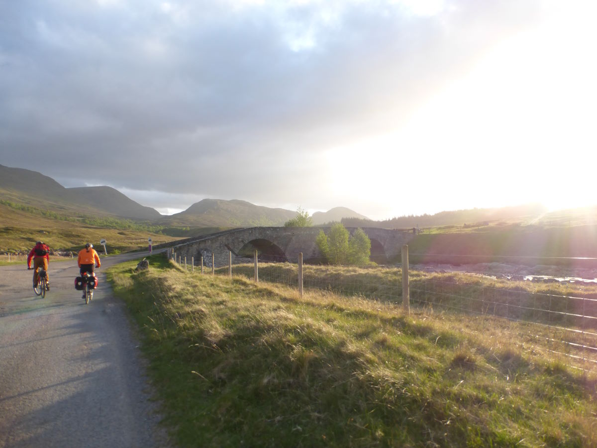
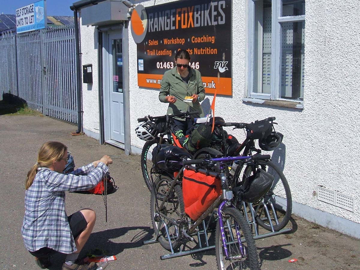
Day 8: Tighachrochadair to Loch Vaich (via a bike shop) 52km/32miles
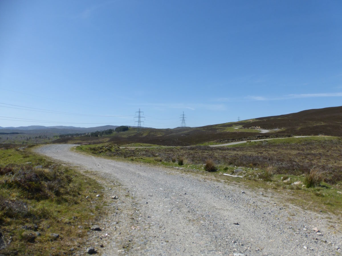
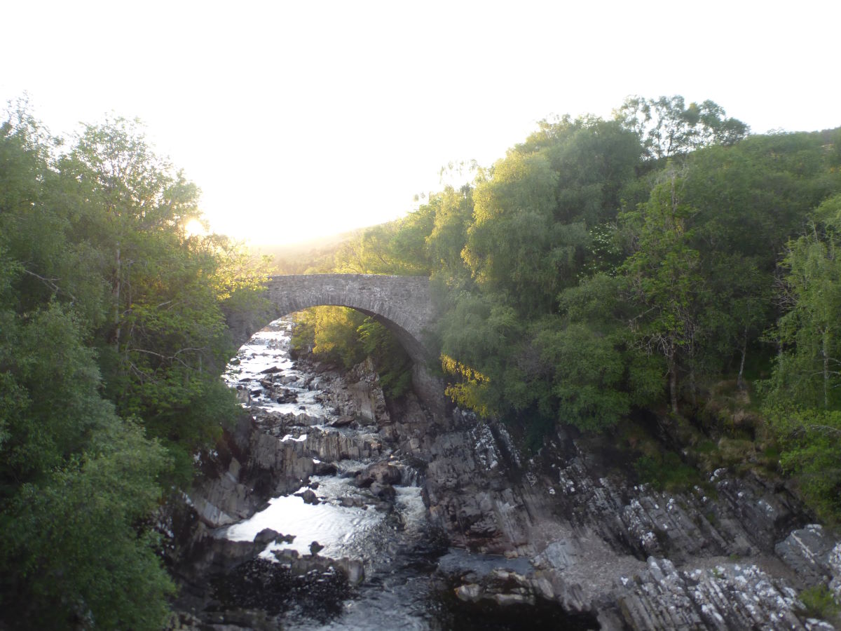
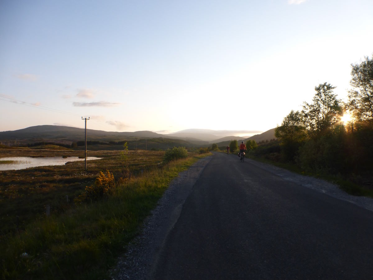
We have a snapped chain to deal with today. After much consulting of maps, guidebook and Google we decide the best course of action is to detour to Muir of Ord. And the best way to get there, seeing as there is no path (it's marked on the map but sadly non-existent in the real world) and Robbie’s bike needs to be pushed regardless, is to cut a straight line on foot through the heather. It’s a slog. Eventually we reach a track, and it’s all delightfully down hill onto little back country lanes so we make surprisingly good time. Orange Fox Bikes provides us with a new chain and some fresh brake pads and all sorts of goodies and then we’re off back through town (much faster now). We take advantage of the detour to stock up on lots of food at the co-op and then zoom off along quiet back roads to rejoin the trail. Joining forest tracks again along Loch Garve it’s all very pleasant though after quite so much pushing and faff it’s already getting late and we’re all pretty tired. We cross Wade’s Bridge and notice that the reason Robbie can’t change gear so well is that the derailleur has bent and now rubs against the tyre in first. Not a good approach to hill climbs. We faff about with a screwdriver and make it maybe a bit better and also maybe a bit worse. It’s now 9pm and the roads are so quiet that we opt to stay on tarmac and join the A835 to the turnoff up Strath Vaich. We are passed by about a gazillion motorbikes but no cars. Off up the glen the world is starting to feel much wilder again and there are great views out along the loch, the setting sun and a carpet of tiny new trees. We’re heading for Lubach Laggan Bothy which looks to be idyllically situated halfway down the loch, but as we approach half a dozen sheep leap out through the shattered windows and on closer inspection there is a concerning crack between the chimney and the rest of one wall. I’m starting to feel that my definition of a Bothy (homely open-to-all shelter with closable door and maybe a sleeping platform), and the guidebook’s (any building with at least half a roof?) are somewhat misaligned. Regardless it is a lovely setting and there’s plenty of nice flat grass for the tents. We tuck into a somewhat midge-filled dinner and bed.
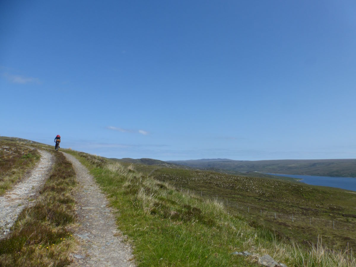
Day 9: Loch Vaich to Glen Cassley 56km/34miles
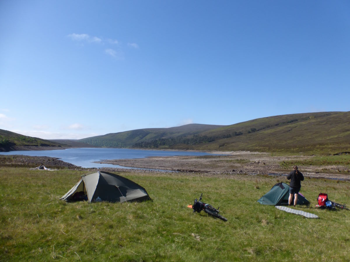
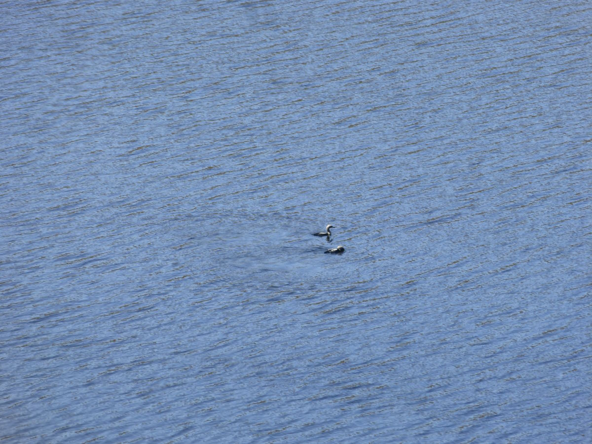
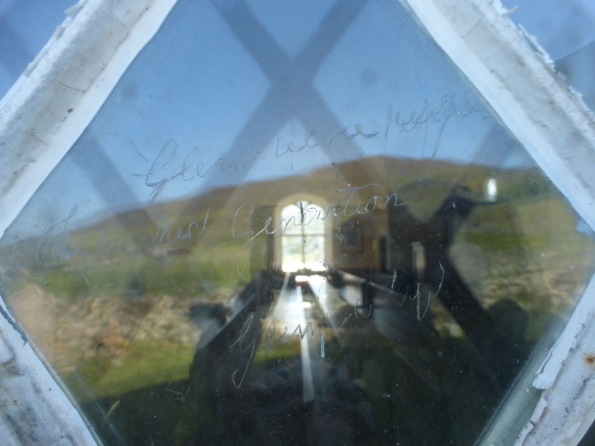
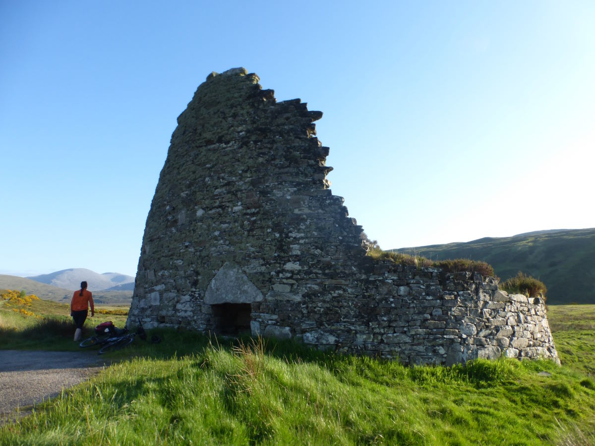
Another beautiful day. We wake to a chorus of drumming snipe and enjoy a swim in the river. Black-throated divers are fishing in the loch. Robbie has a lie-in and I make what I think is an excellent job at secretly fixing his derailleur, though am later informed that I’ve actually just changed one problem into a different one. Up and off it’s another gloriously sunny day in stunning surroundings. The track winds through big valleys, twisting gently up and over to give view after view. Downhill, we pass into Allerdale Wilderness Area which is a stunning valley full of growing trees, big enough now to make it feel like a woodland, that merges softly into ancient pine. Descending into the shade of the trees we stop for crisp sandwiches under a bridge. We meet a woman travelling the opposite way who, when we mention we’re cycling An Turas Mor, states that she’s noticed a couple of stickers with that name and has been doing her very best to peel them off (they are apparently very sticky). It’s an interesting thought about the appropriateness of bright pink stickers in a relatively wild landscape where there are no other trails marked, though certainly our impression was that in the whole route we saw very few of them. Cycling on we join a brief section of road and follow it to Croick church where, etched into the glass of the windows, are messages cut by crofters who sheltered here after being forced from their homes during the Highland Clearances. It’s becoming a day for thinking. Who these people were, what our landscape would look like if..? Continuing up the glen it’s teeming with deer, big blue skies, dry stony tracks. We cross over and down towards Oykel Bridge, briefly joining the route of the Cape Wrath Trail which feels like a lifetime ago but was only 11 months. Did I really do that? Just like last time Oykel Bridge Hotel has a big sign saying closed to non-residents but we decide to use the loos regardless. Then Robbie gets desperate at the thought of enduring couscous for dinner and finds someone to ask about food and the next thing we’re eating burgers and chilli washed down with sticky toffee pudding and banana fritters. Back on the road it’s a short roll through clouds of midges to Rosehall, then up the next glen until we spot a reasonable looking camp spot by the stream. There are Sandpiper chicks on the bank and a fawn hiding very quietly in the bushes. We watch them very quietly until we are black with midges (i.e. for about 20 seconds) then dive into the tents.
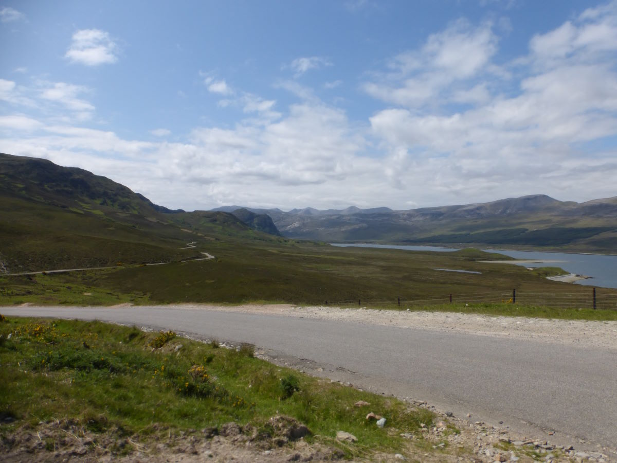
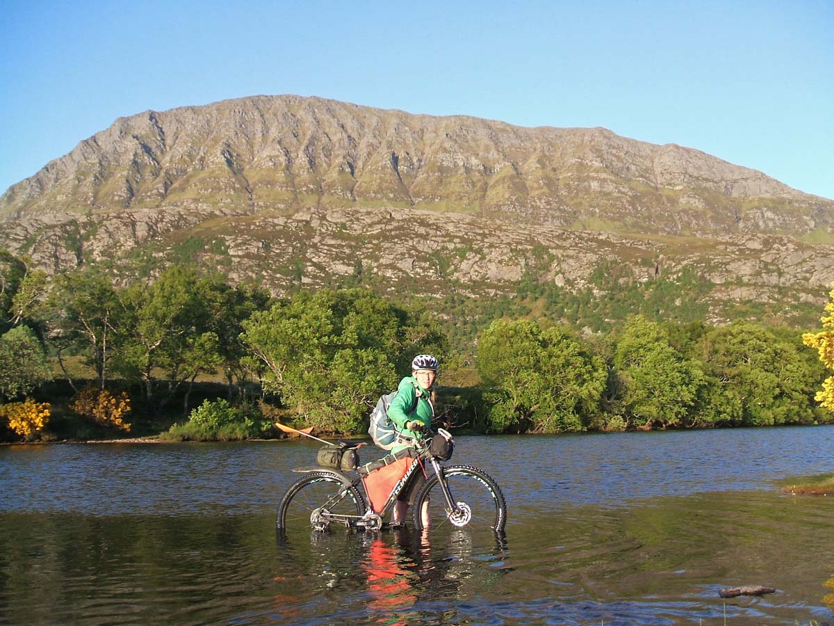
Day 10: Glen Cassley to Cashel Dhu 72km/44miles
I dream that I am trying to pitch the tent but I’ve left the poles at the previous camp and only have pegs... then while I’m trying to come up with a plan using sticks the inner blows into the loch... it sinks gently like a great lopsided balloon, so slow that I can probably swim out just in time for it to disappear before an outstretched hand... luckily before I have to embark on that I wake up. It’s a cloudy morning, persisting into the afternoon, giving some of the only riding of the entire trip that is not under blazing sunshine. Which is fortunate because at the head of Glen Cassley is a really really steep hill. Fortunately it’s tarmac - a somewhat precipitous road over to a hydro station that I’m very glad I’m not trying to get a car over. At the top the clouds clear away to leave us bathed yet again in hot sunshine, with a great view back to Ben Mor Assynt and ahead to Loch Shin. I feel that we must be running out of land but still no sign of the sea. Down the other side is a lovely fast freewheel descent which becomes a long curve following the lines of the lochs for some nice smooth road riding. Arkle and Fionaven come into sight ahead. We stop for oakcakes and alarmingly runny honey by Loch Merkland then turn once more onto gravel track, curving up through the Bealach nam Meirleach into a stunningly bare land of quartzite cliffs that feels like maybe you’ve entered another world. A bumpy but fast descent takes us back to the road then there is a brief free-wheel down to the Brock, an amazingly well preserved round house from 200-400BCE. Onwards, we leave the road for the ford at Cashel Dhu which the book describes as being “dangerous in anything but perfect conditions”. I guess a week of burning sunshine is pretty perfect because it barely comes above the ankles and the water is delightfully warm. Then comes decision time. Tomorrow night we need to be camped in Durness ready for the bus home. Cape Wrath is a glorious wild and windswept cliff-top and a stunning place for the end of a trail. It’s also at the end of a long out-and-back track with a return ferry crossing to make and really would need us to push on now into the night. We’ve all also been there before… Ultimately we decide to take the lazy option. We make camp by the bend of the river, eating couscous and halloumi as the sunset lights up the cliffs of Ben Hope in gold. Then the breeze disappears abruptly leaving us in a cloud of midge. Quick dive into the tent.
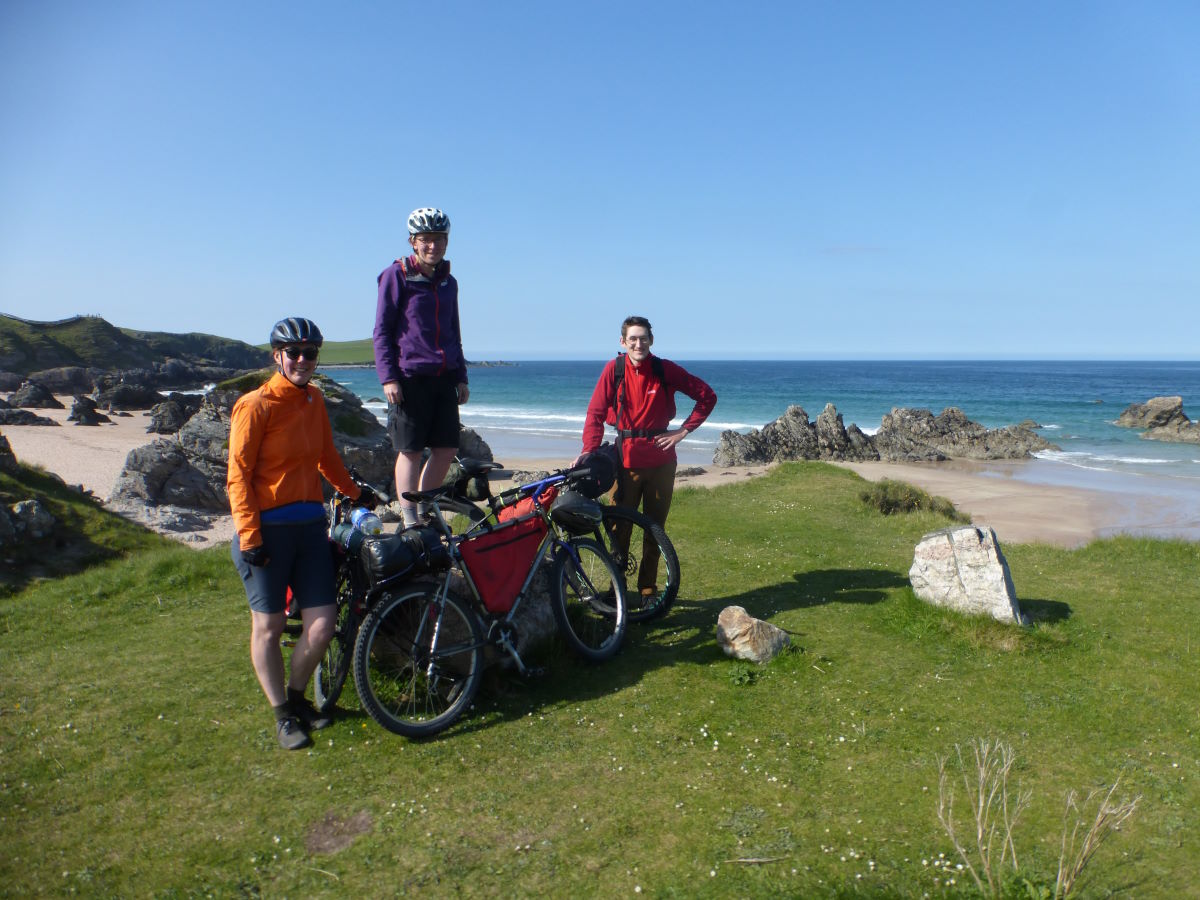
Day 11: Cashel Dhu to Durness 13km/8miles
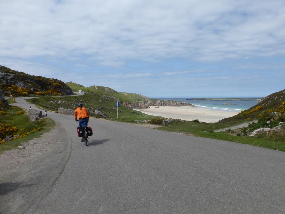
It’s another perfect blue sky morning. We take a dip in the river which turns out to be much colder than it was yesterday evening, then the breeze drops and we’re suddenly far too exposed to far too much midge. We manage a super speedy de-camp and are up and off for our final trail, winding upwards above Loch Hope to the final summit and, at last, a glimpse ahead of the sea. A steep zig-zag descent takes us down to the road and then it’s a (endless) long curve round Loch Eriboll and along the coast to Durness. I’ve been enjoying having the chunkiest tyres, creeping ahead on the hills in ultra-low gears. Now Tas’ hybrid is leaving me in the dust. And there’s a head wind. And a very gradual upwards slope. And no matter how hard I try (on multiple rest stops), our super tiny hand pump never seems to make any difference to the pressure of my tyres. We are passed by 64 campervans. It is, at least spiritually, by far the longest road of the trip. We reach Durness. Collapse into the Chocolate Mountain café. The End.